Thursday/ Shibuya at night 🌃

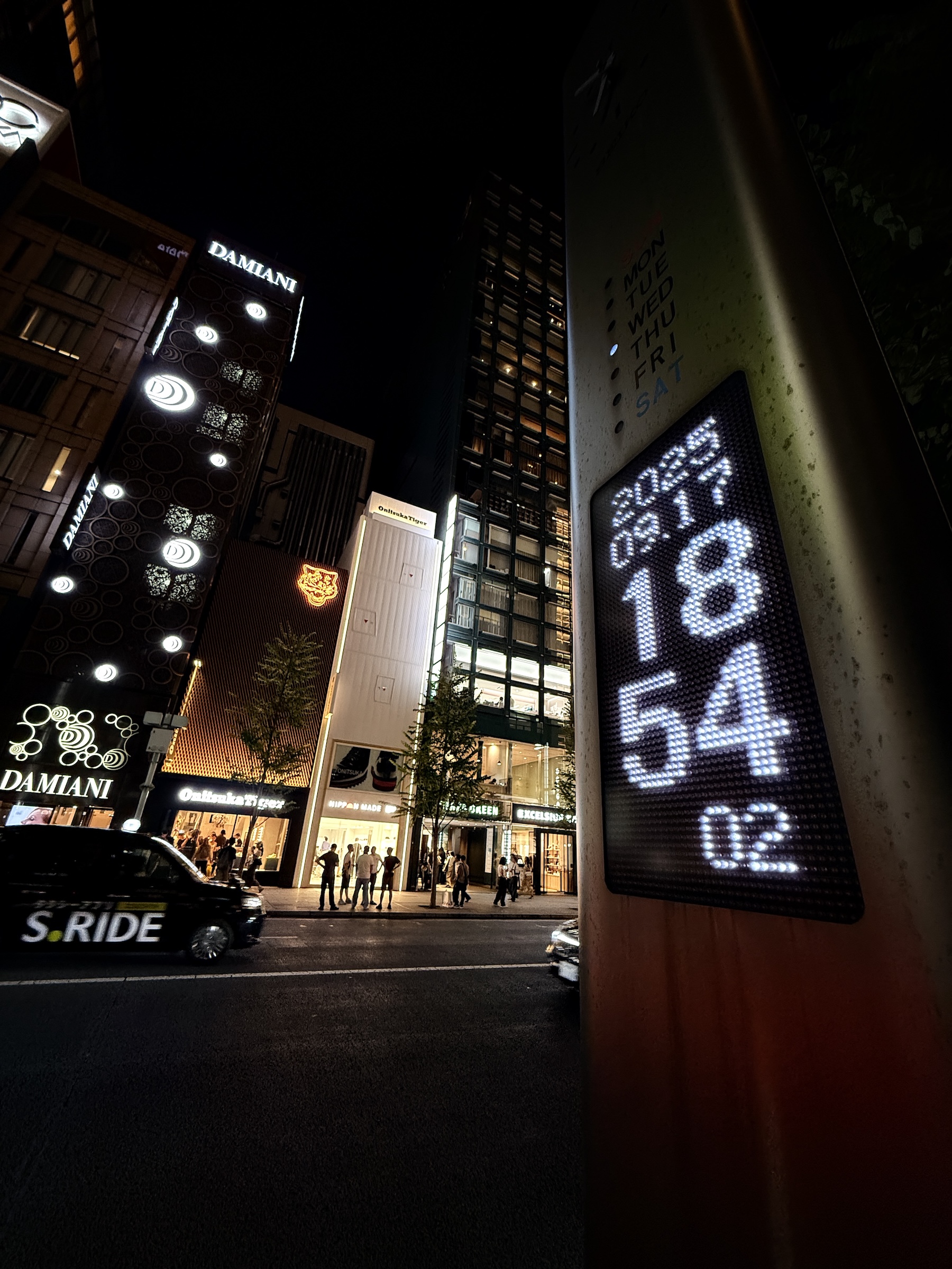
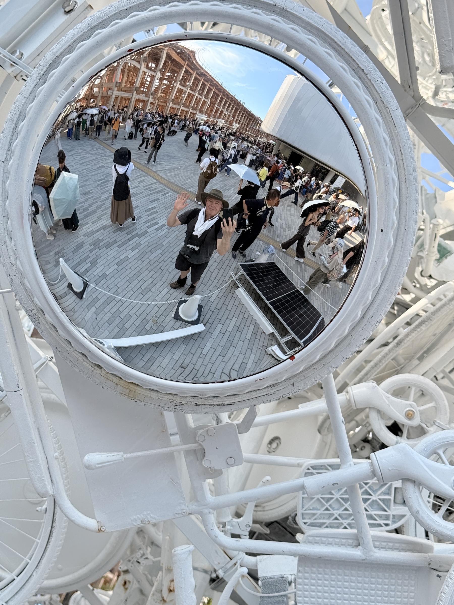
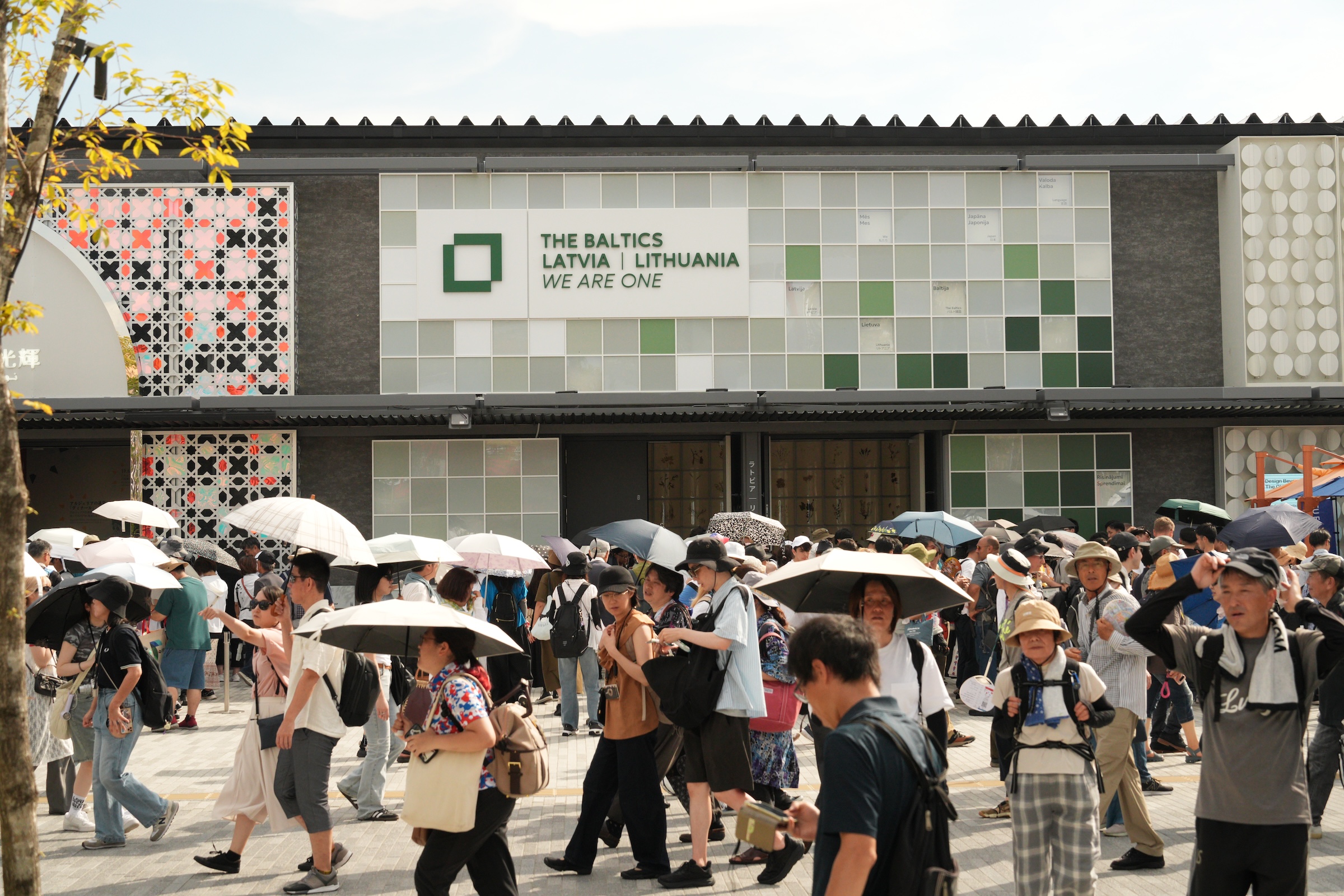
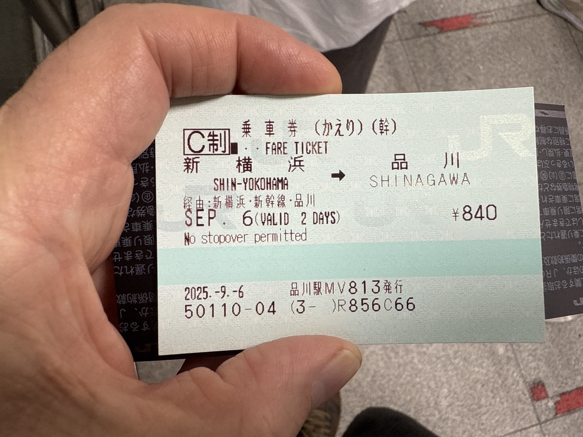
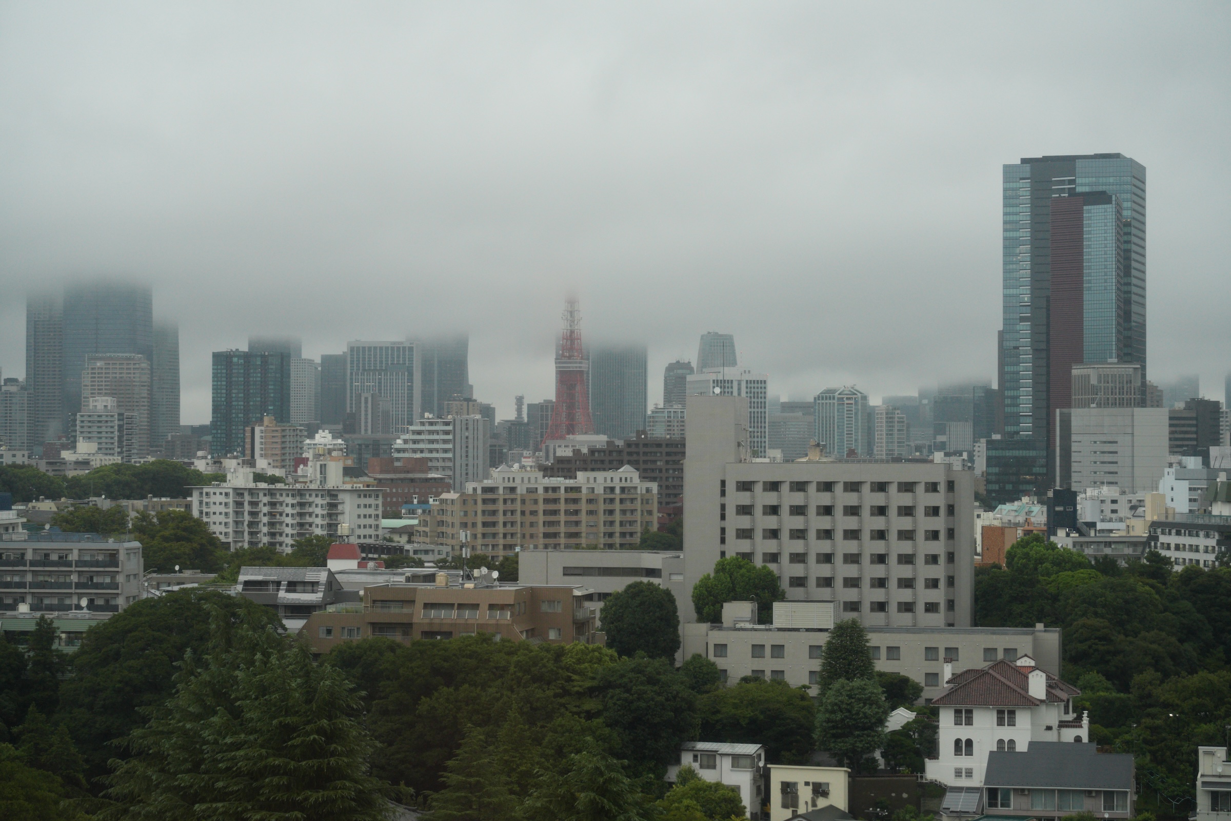
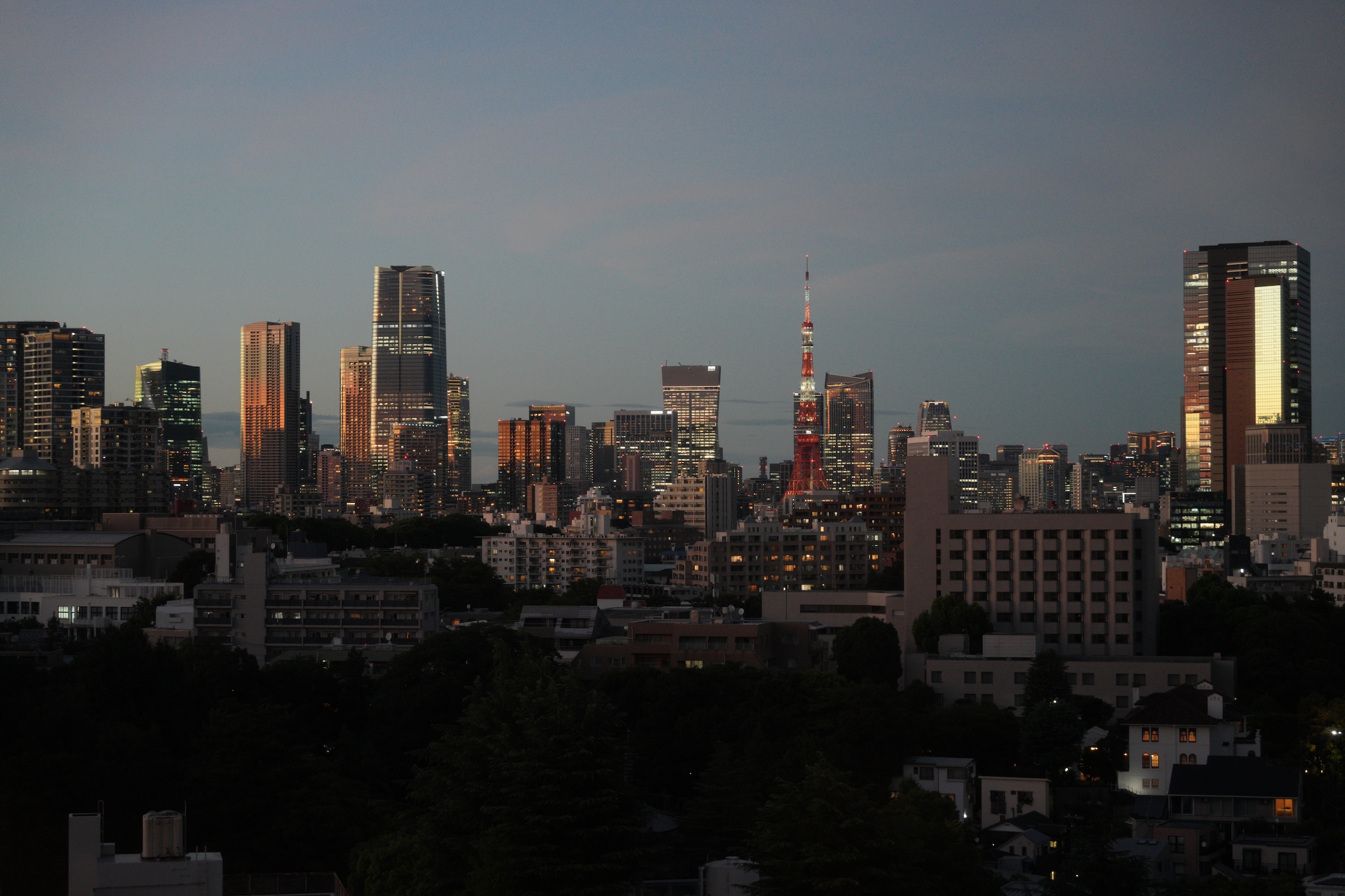
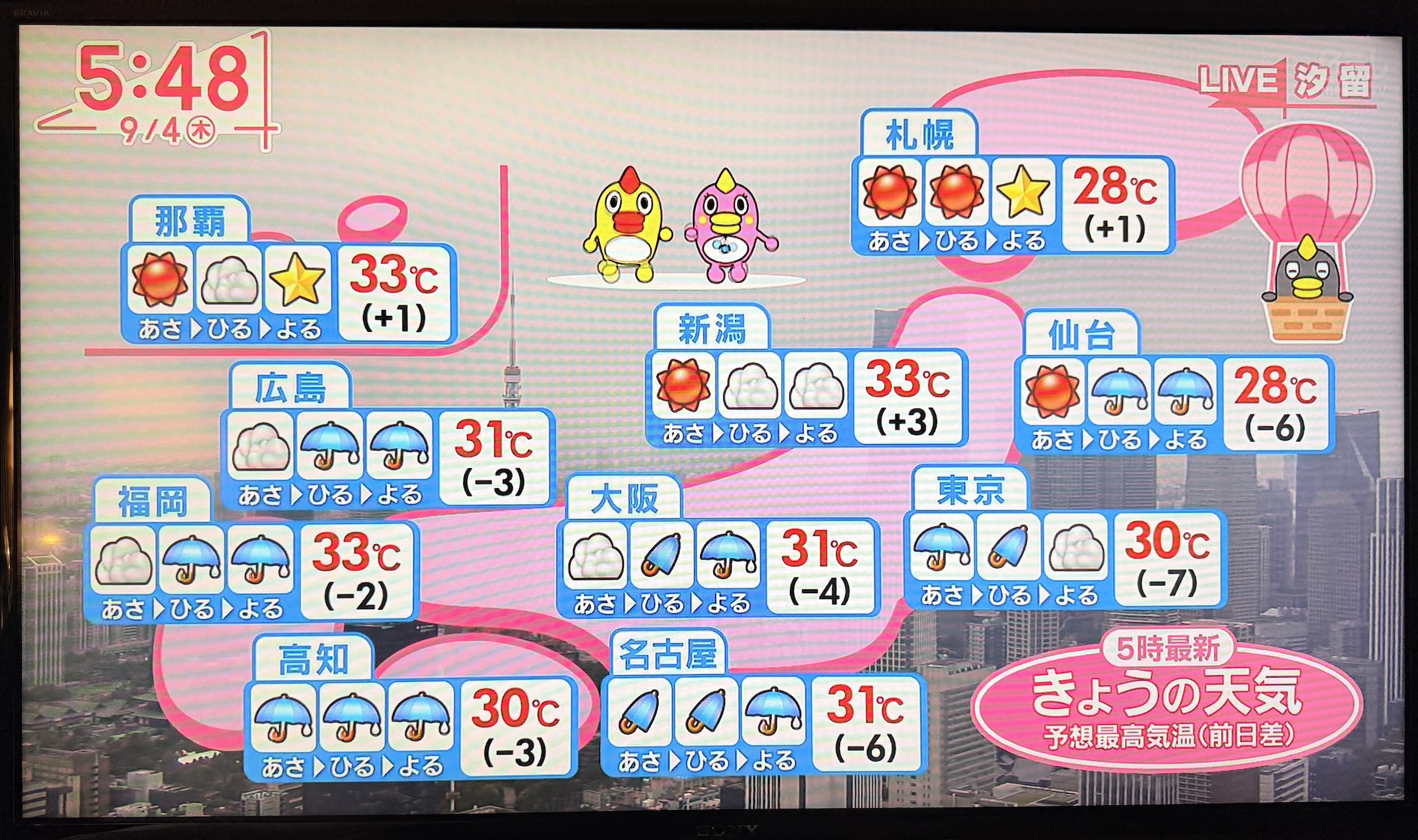
Thursday was my last full day here in Tokyo.

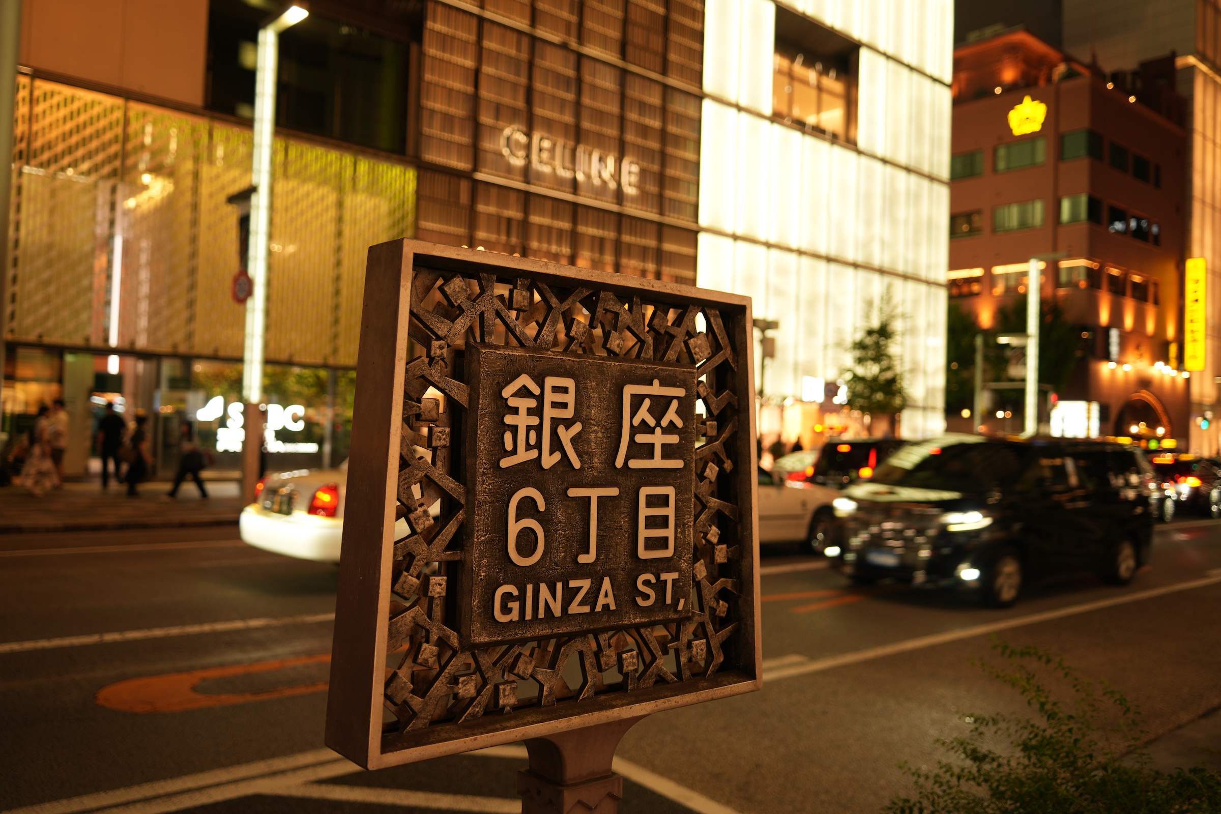
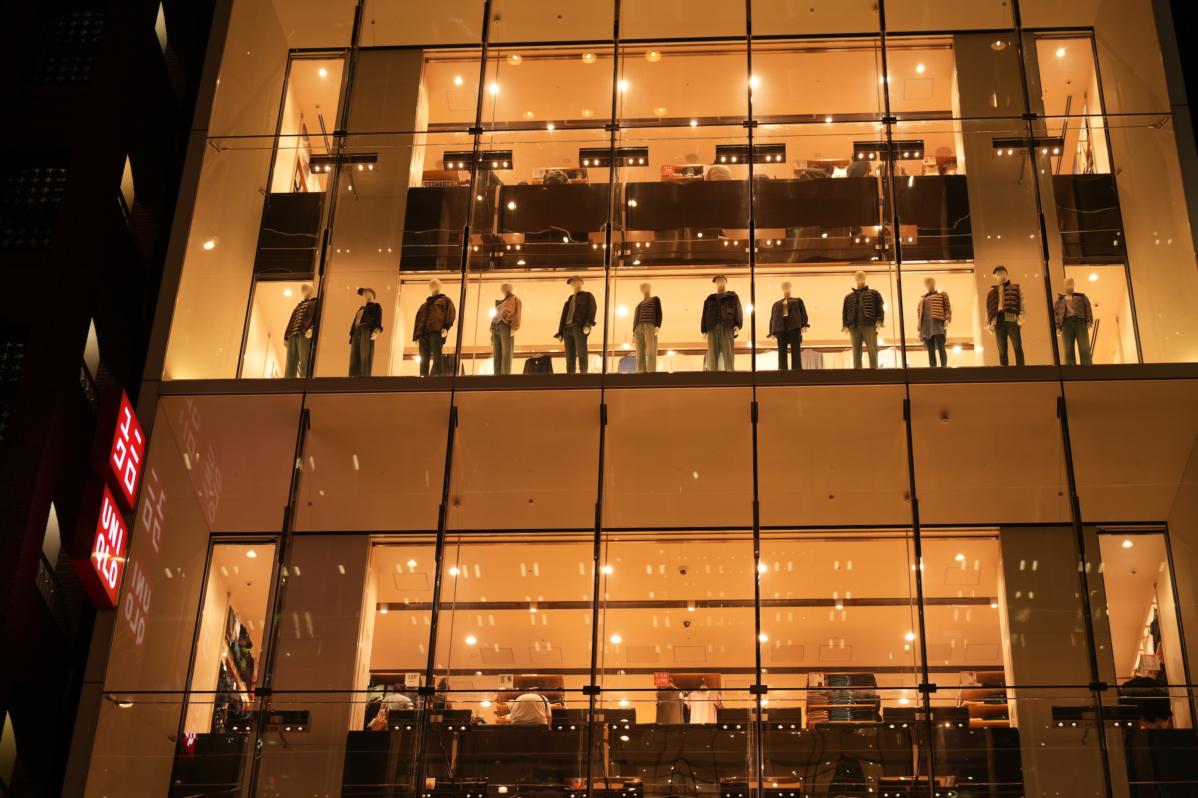
In the morning, I ran out to Uniqlo in Ginza to change my size M shirts that I had bought Wednesday night, for size L. (The line at the fitting room was too long yesterday and I took a chance with the size M).

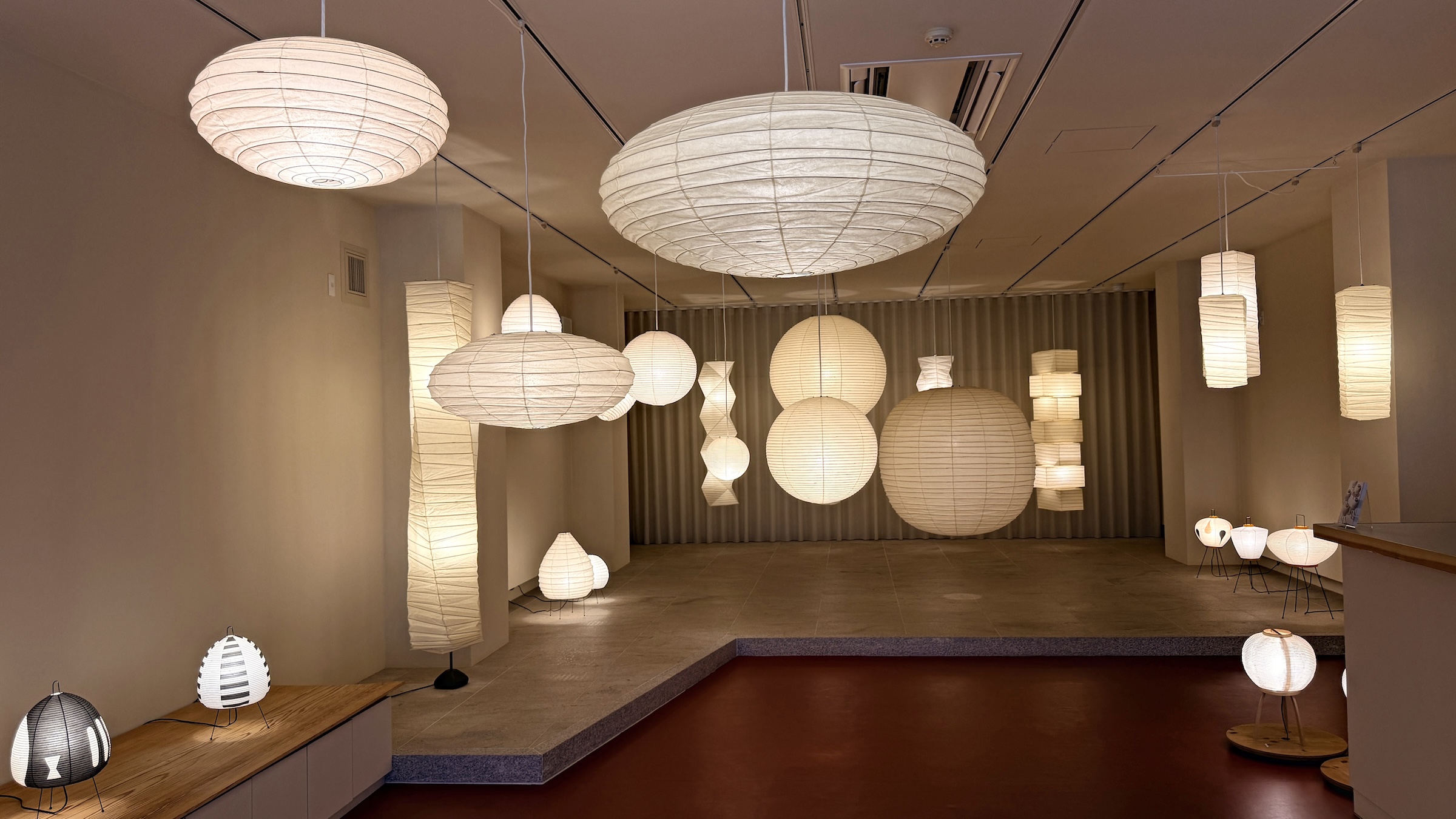
Then I went out to a gallery called Ozeki with beautiful Japanese lantern lamp shades that a YouTuber had recommended. I bought a little round one that is folded flat for packing into a suitcase. (At this point in any overseas trip it is always a question if all the stuff I had bought, would fit in my suitcases.)

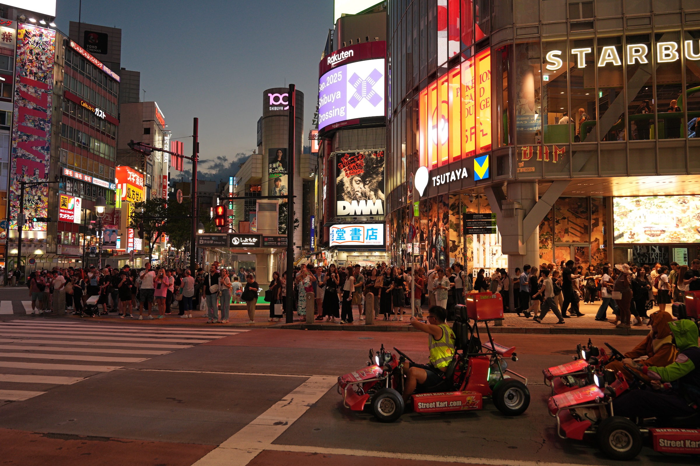
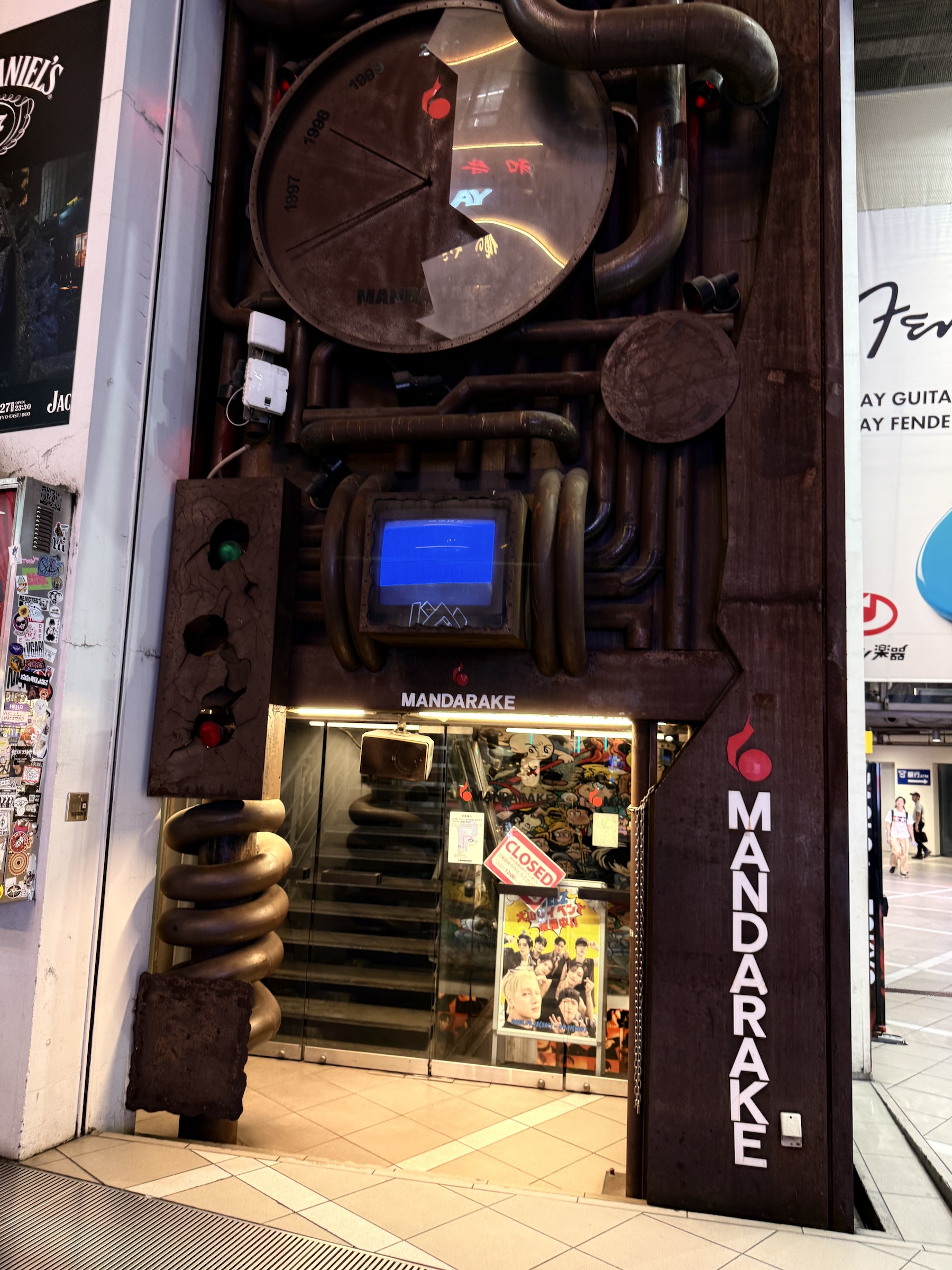
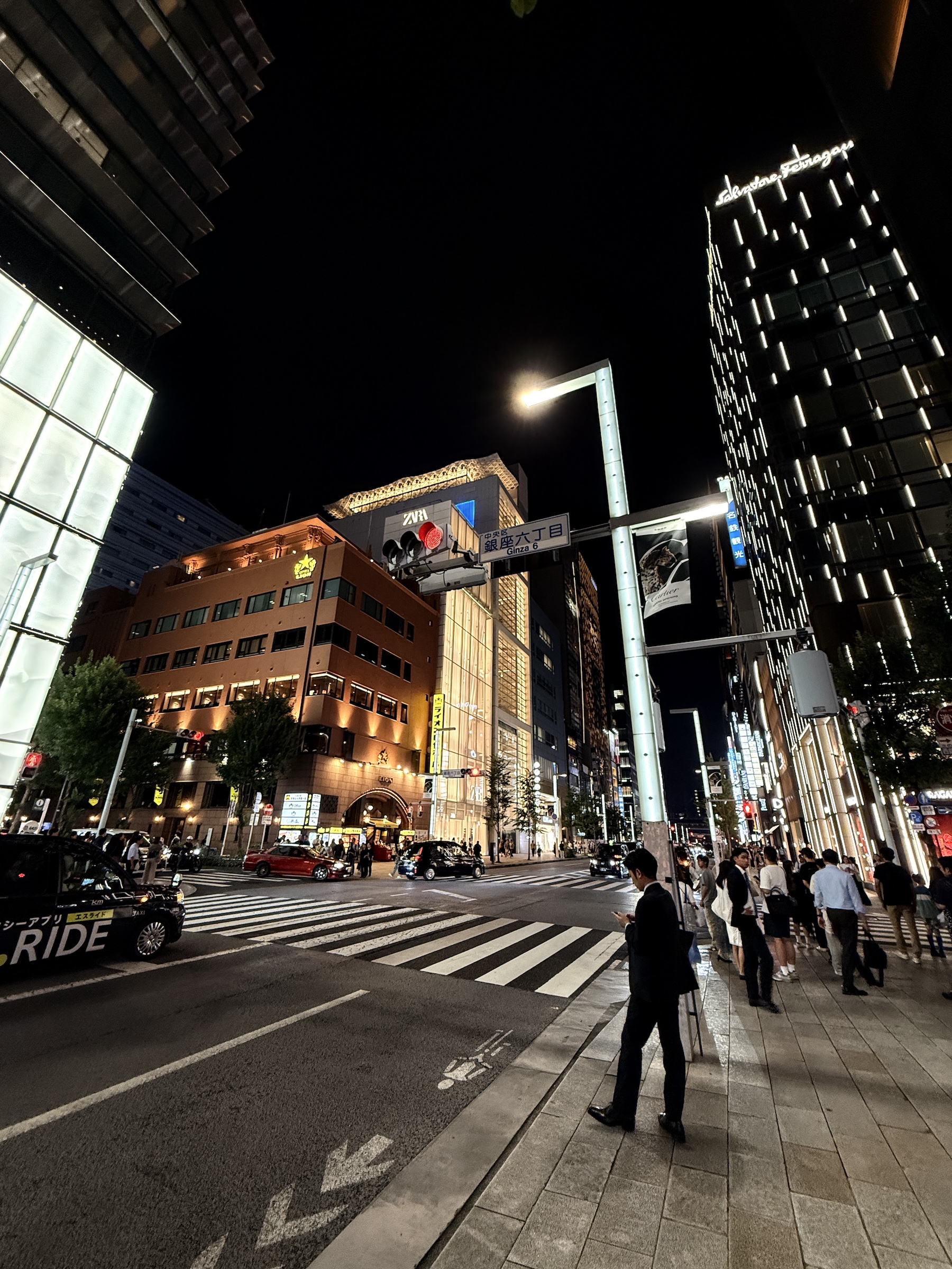
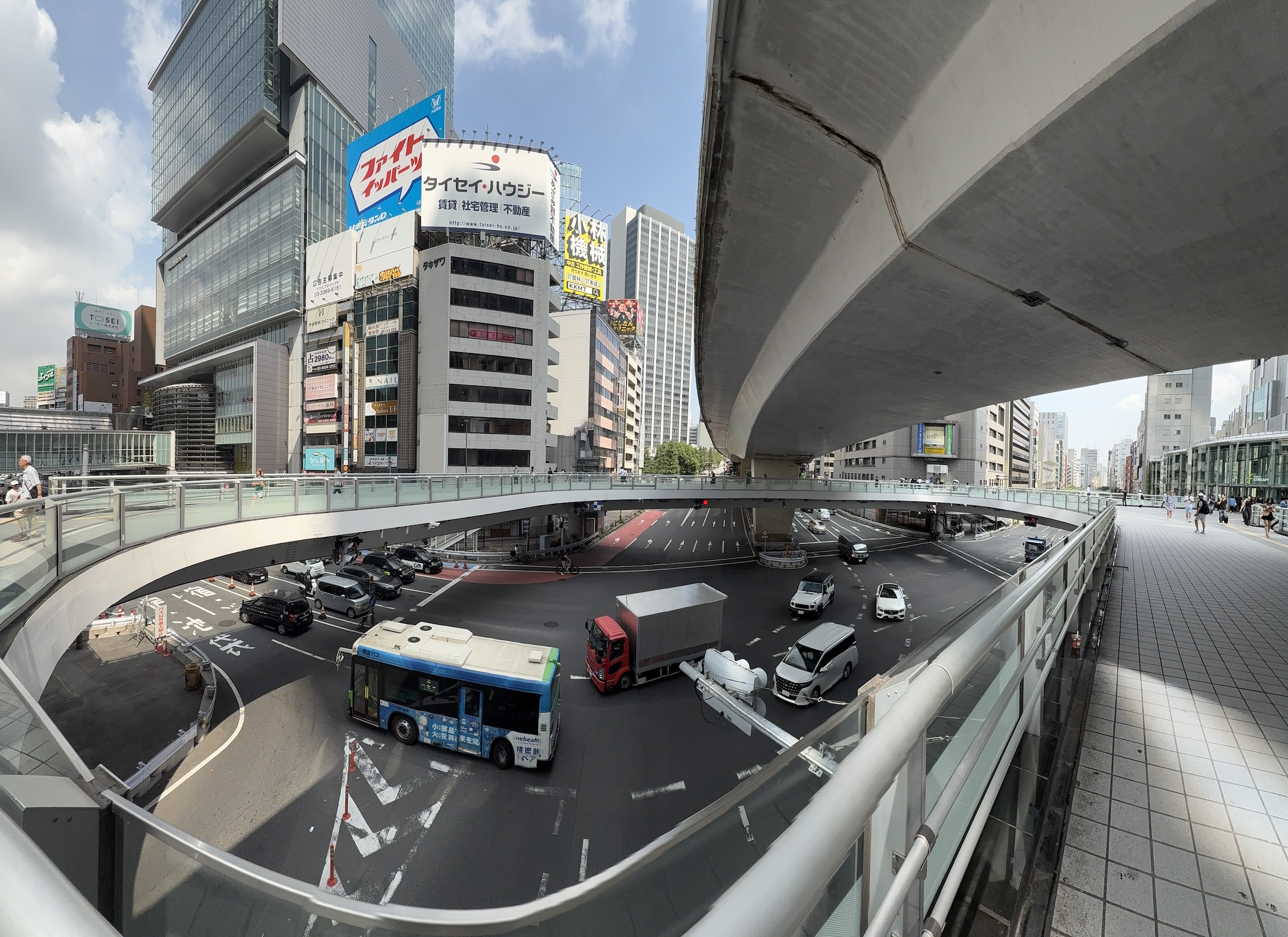
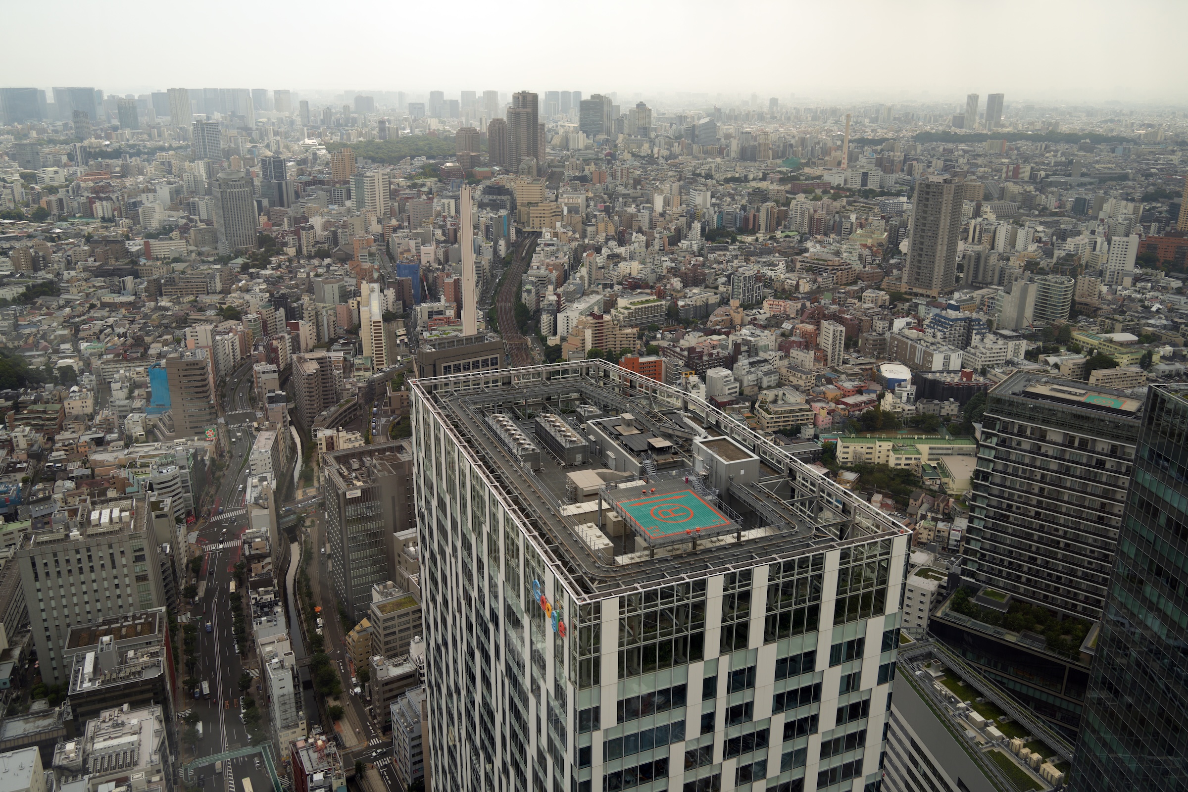
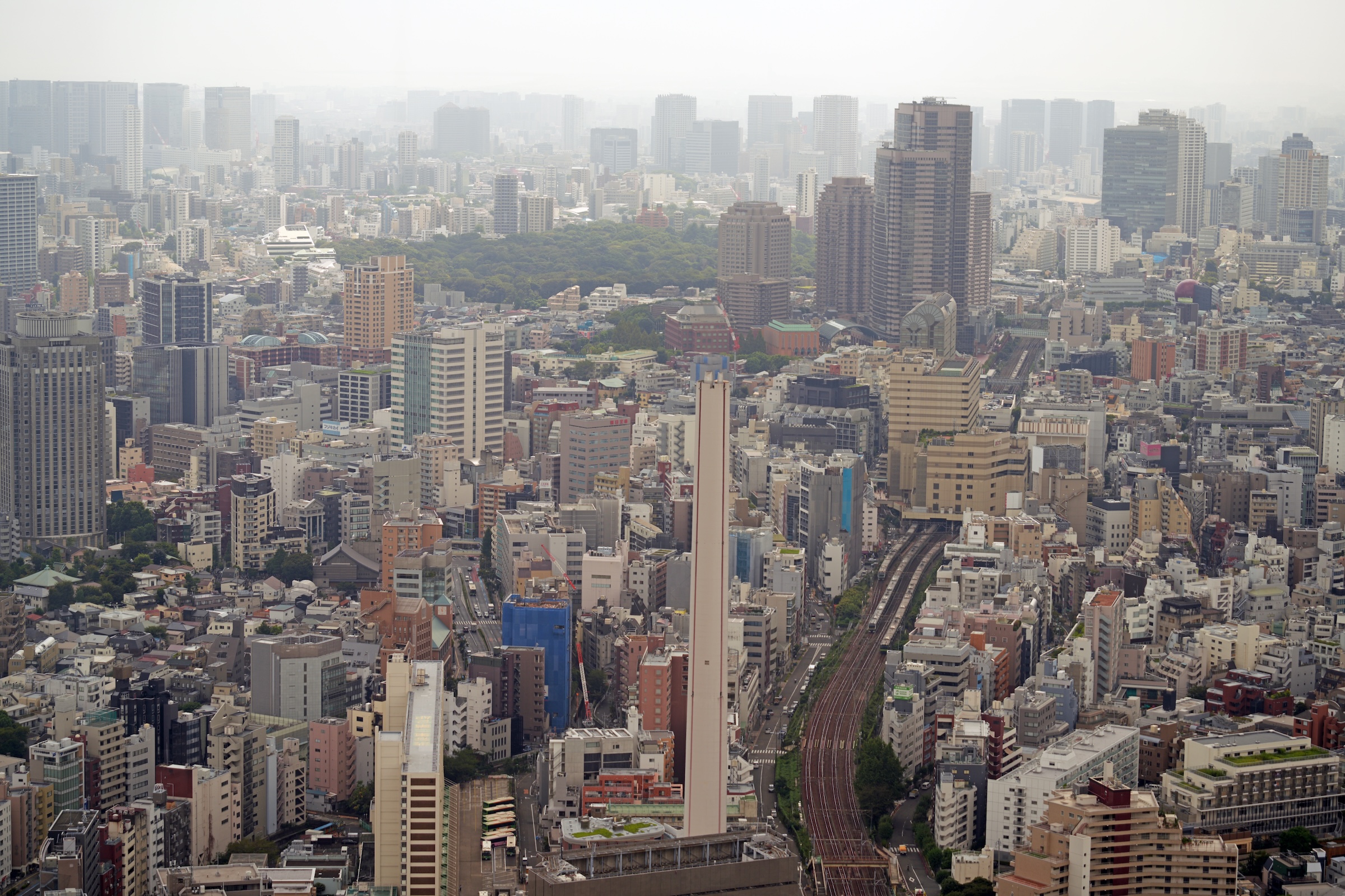
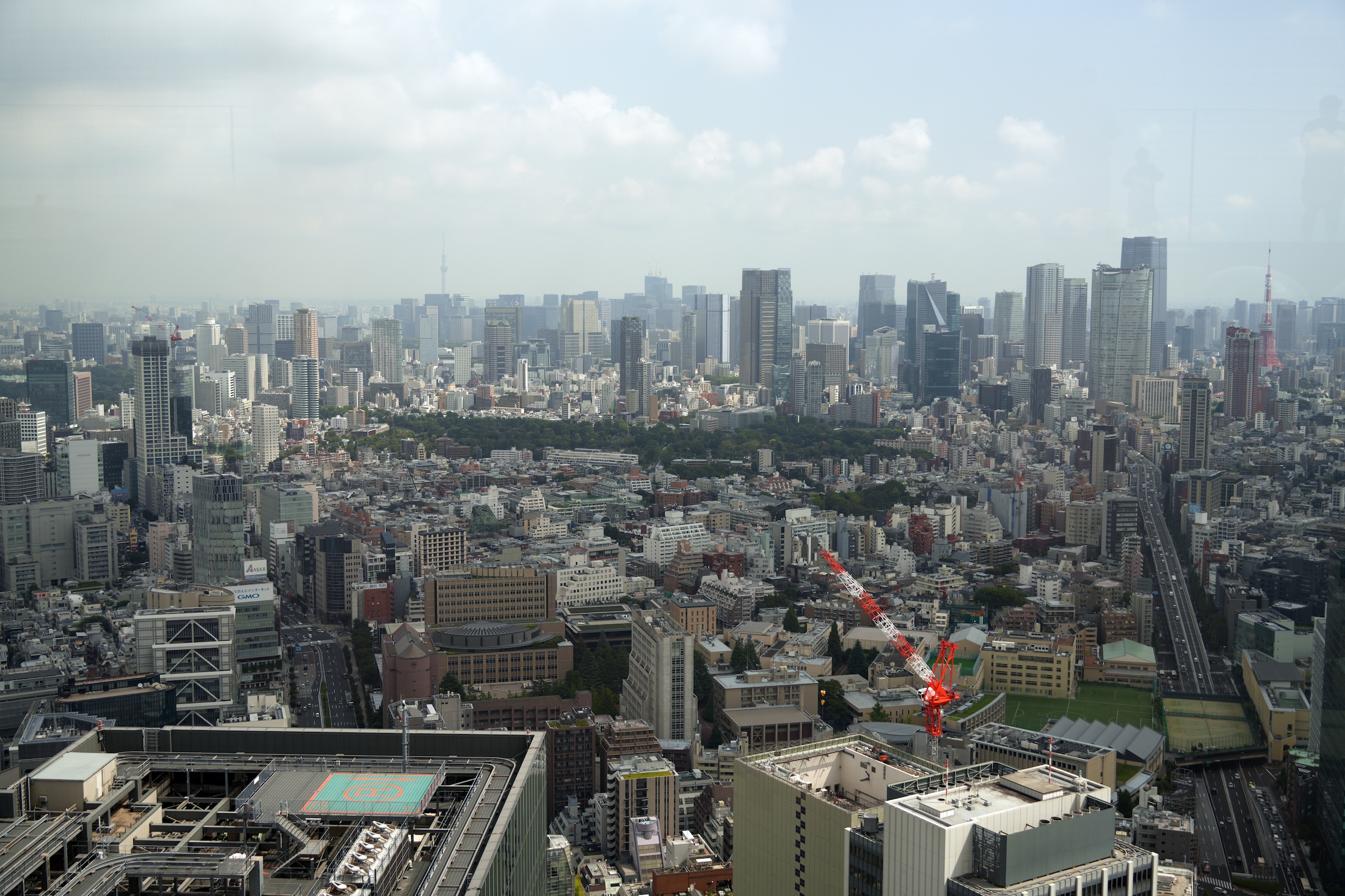
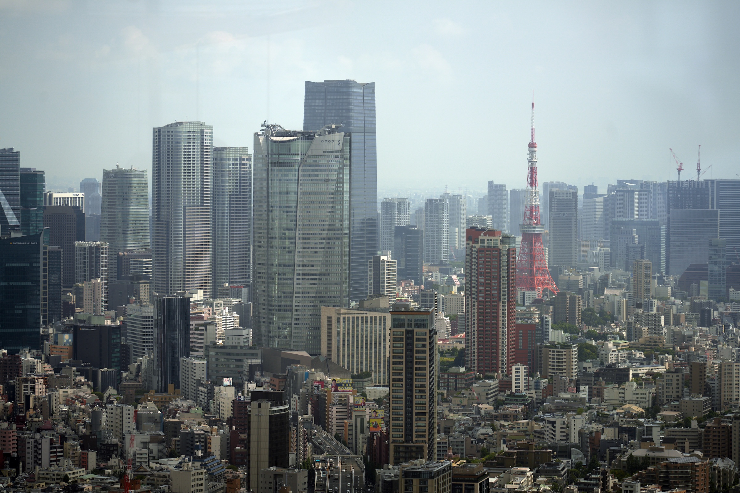
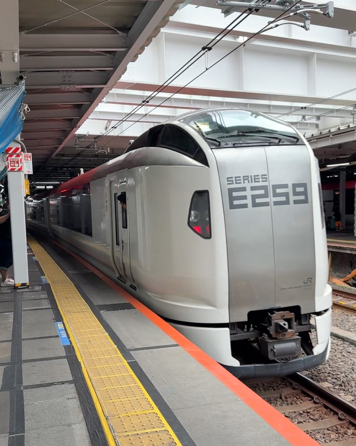
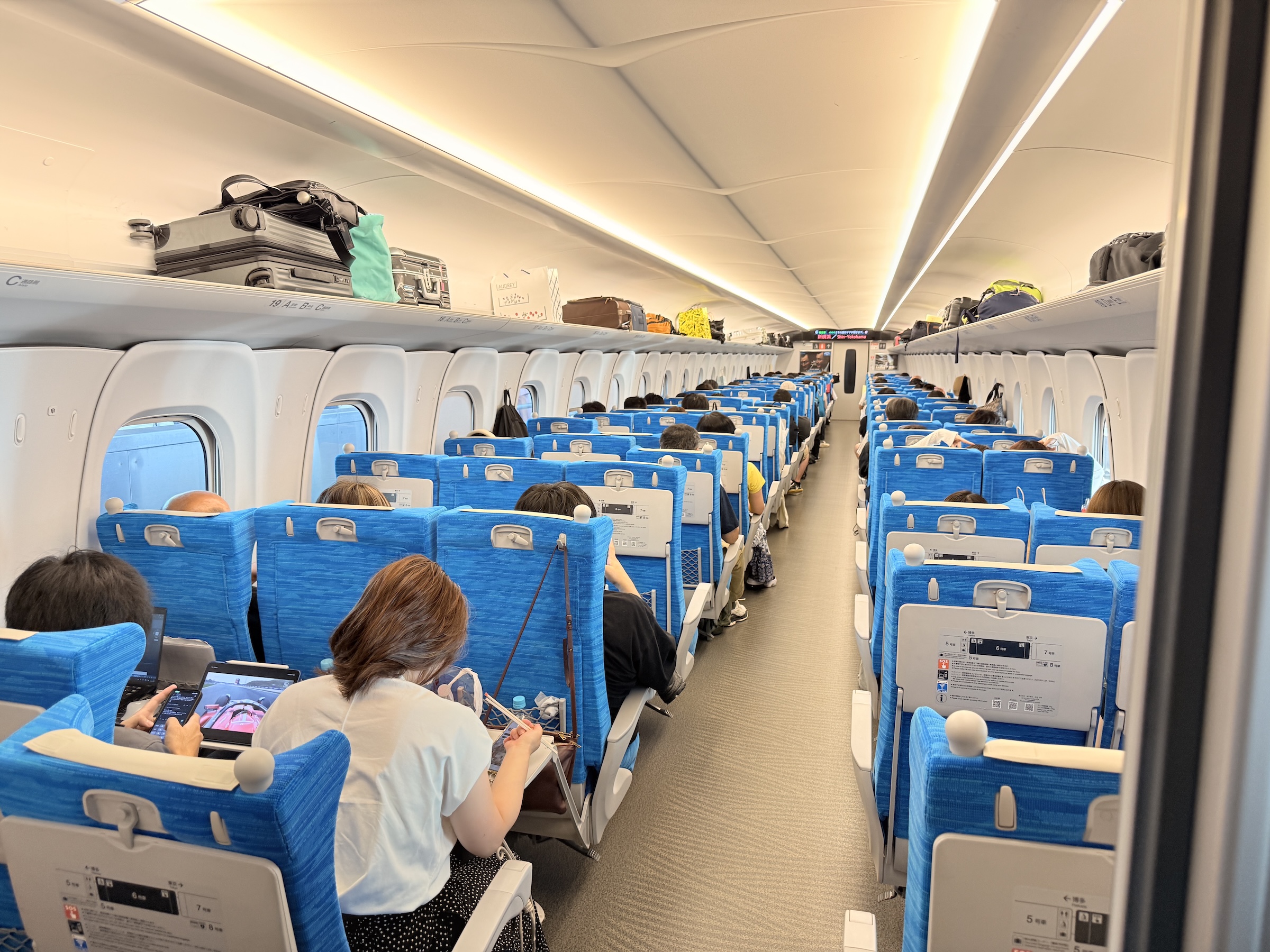
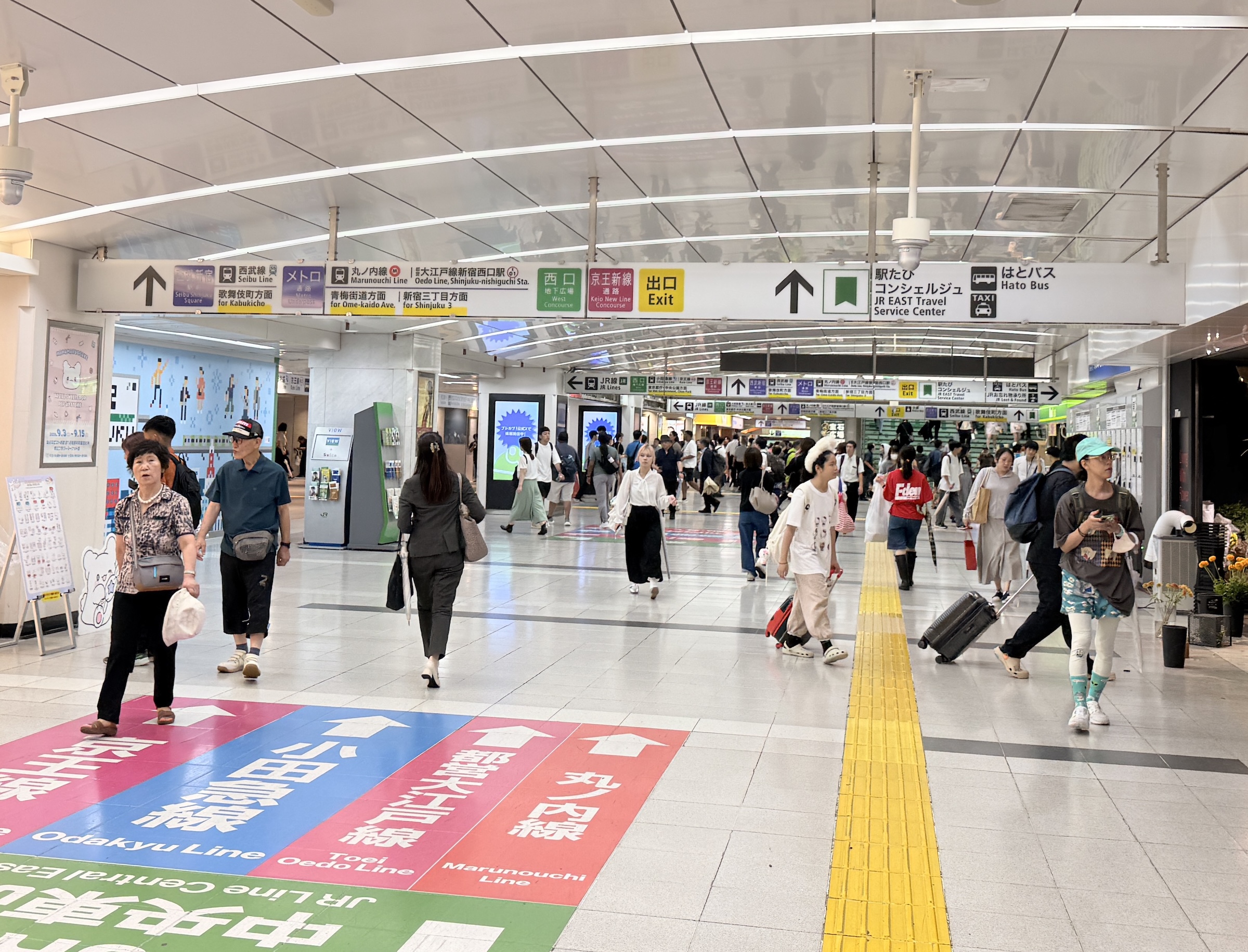
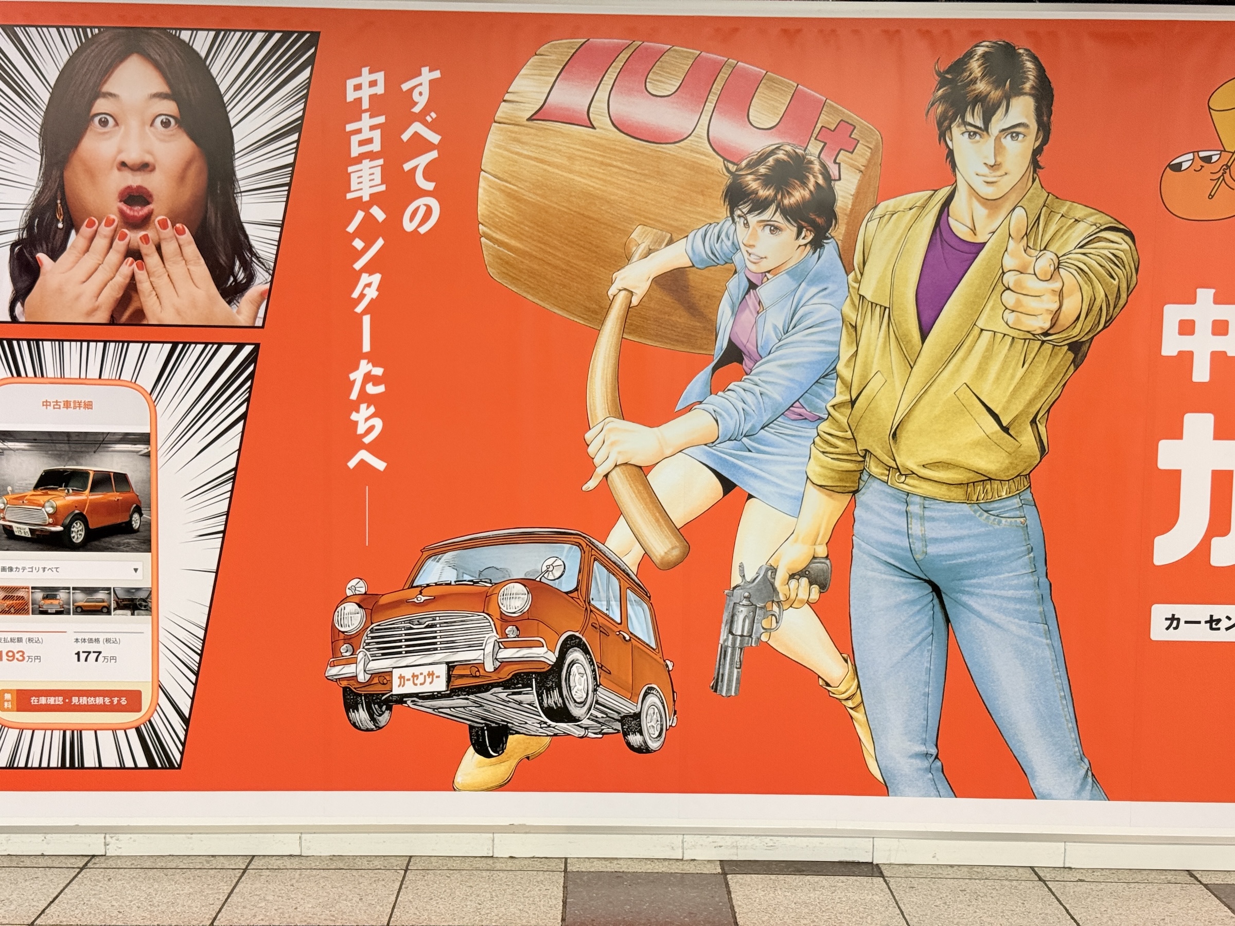
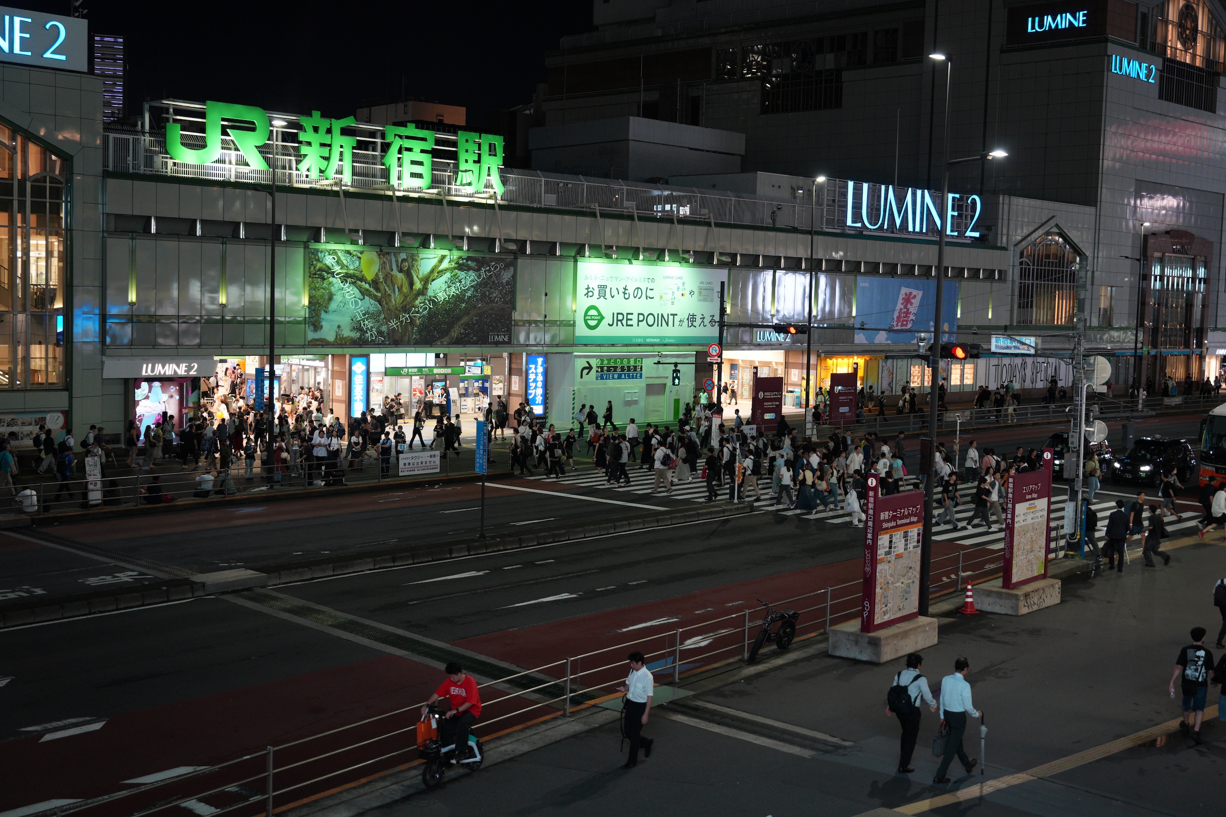
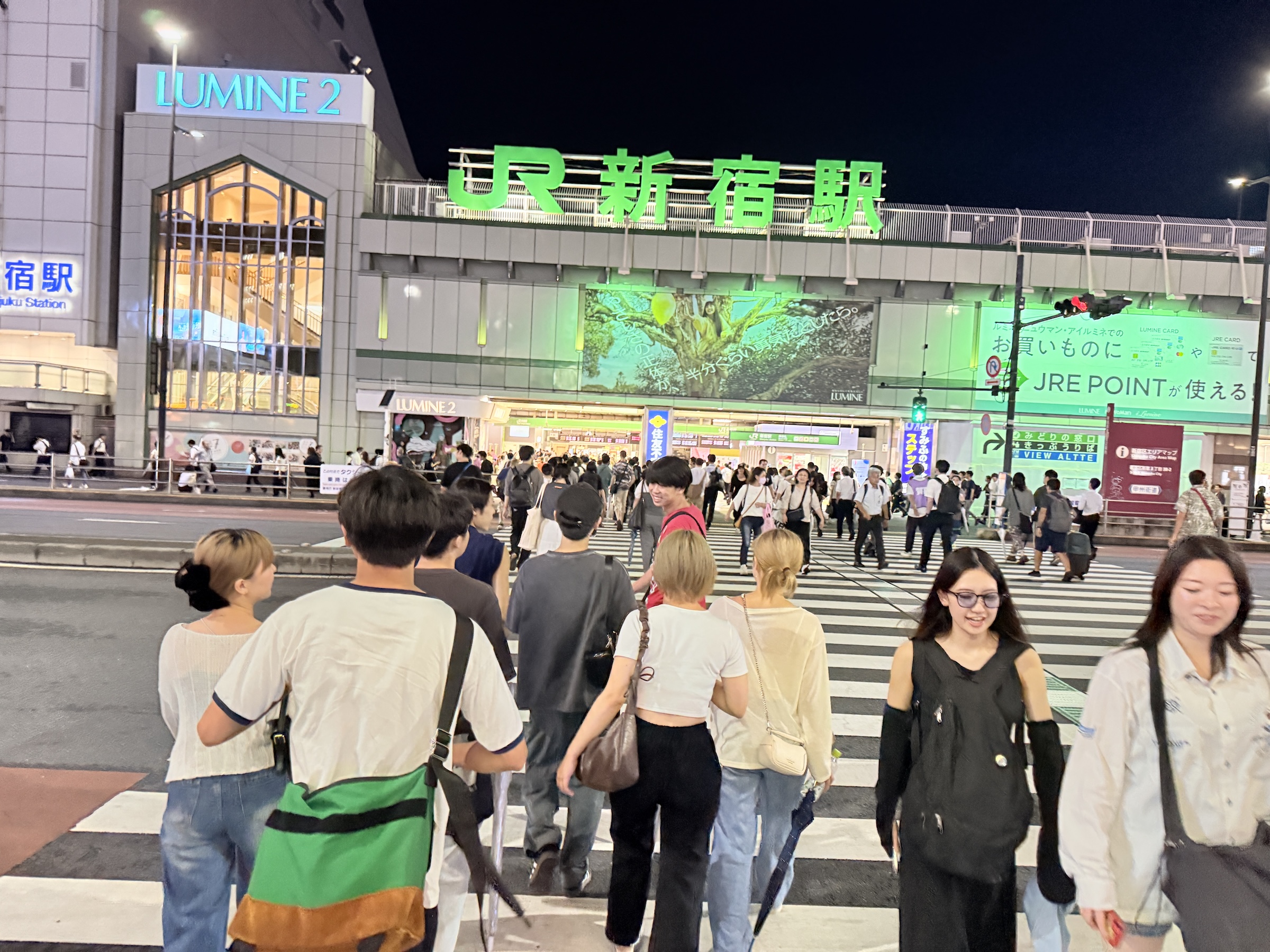
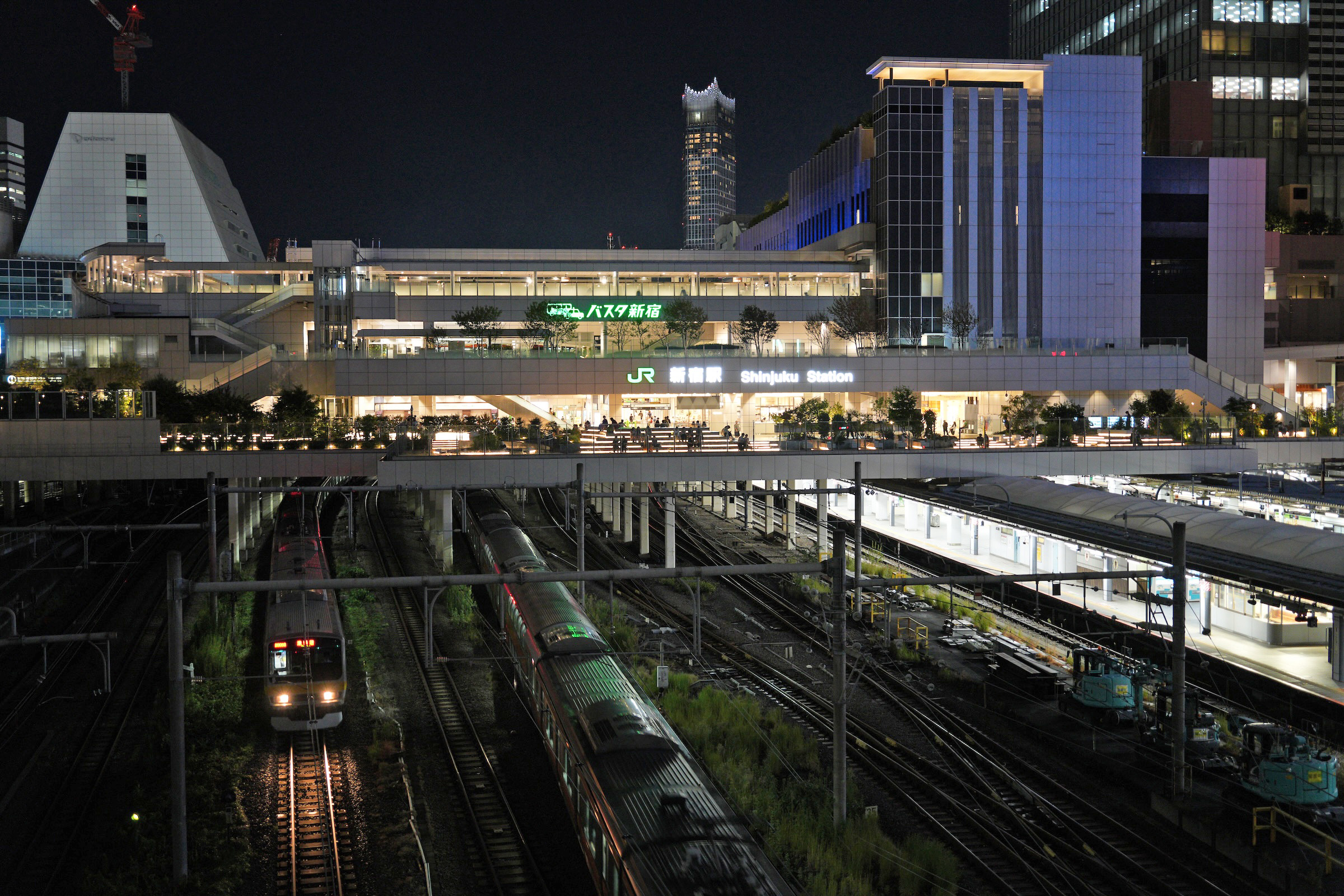
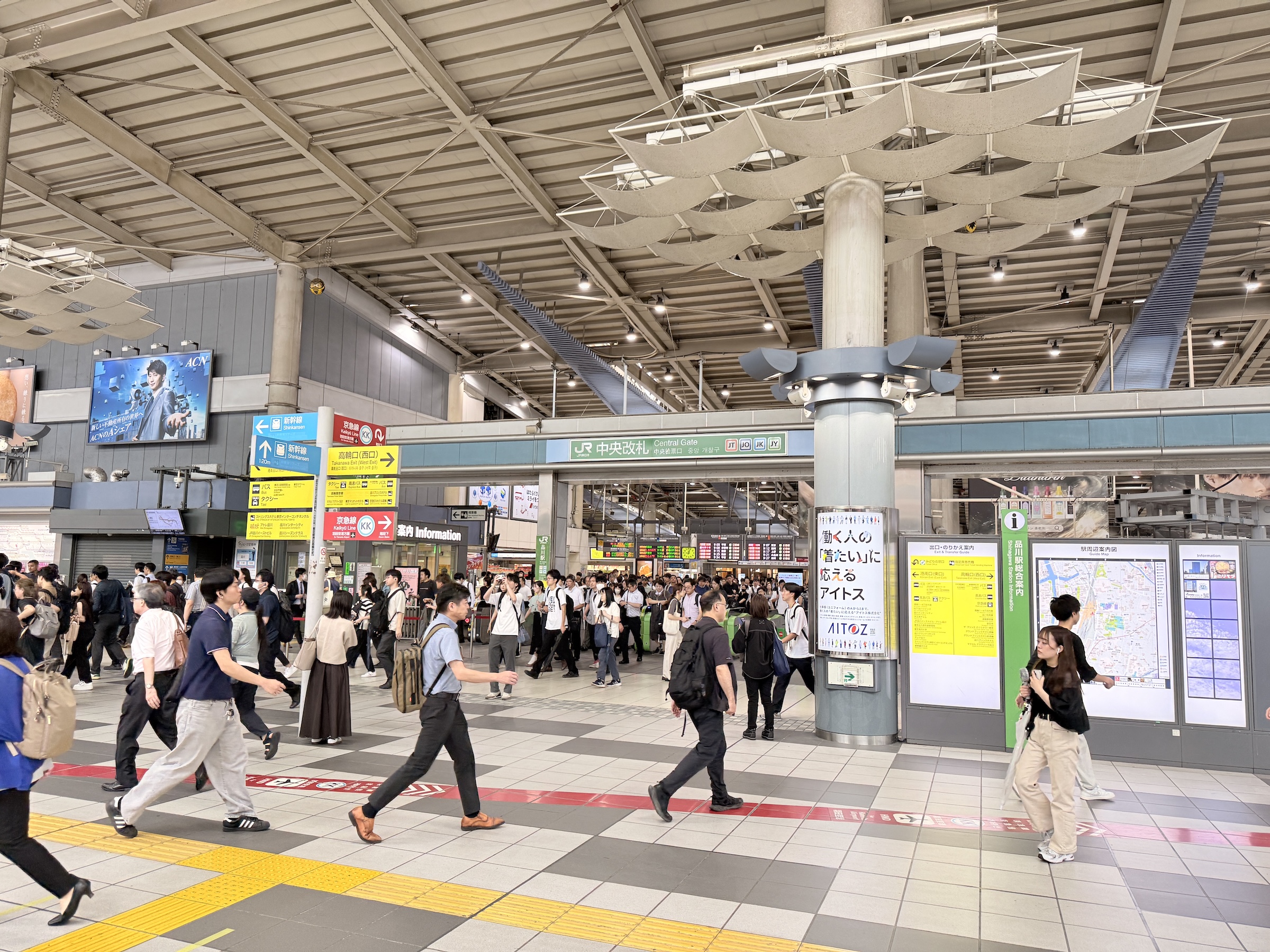
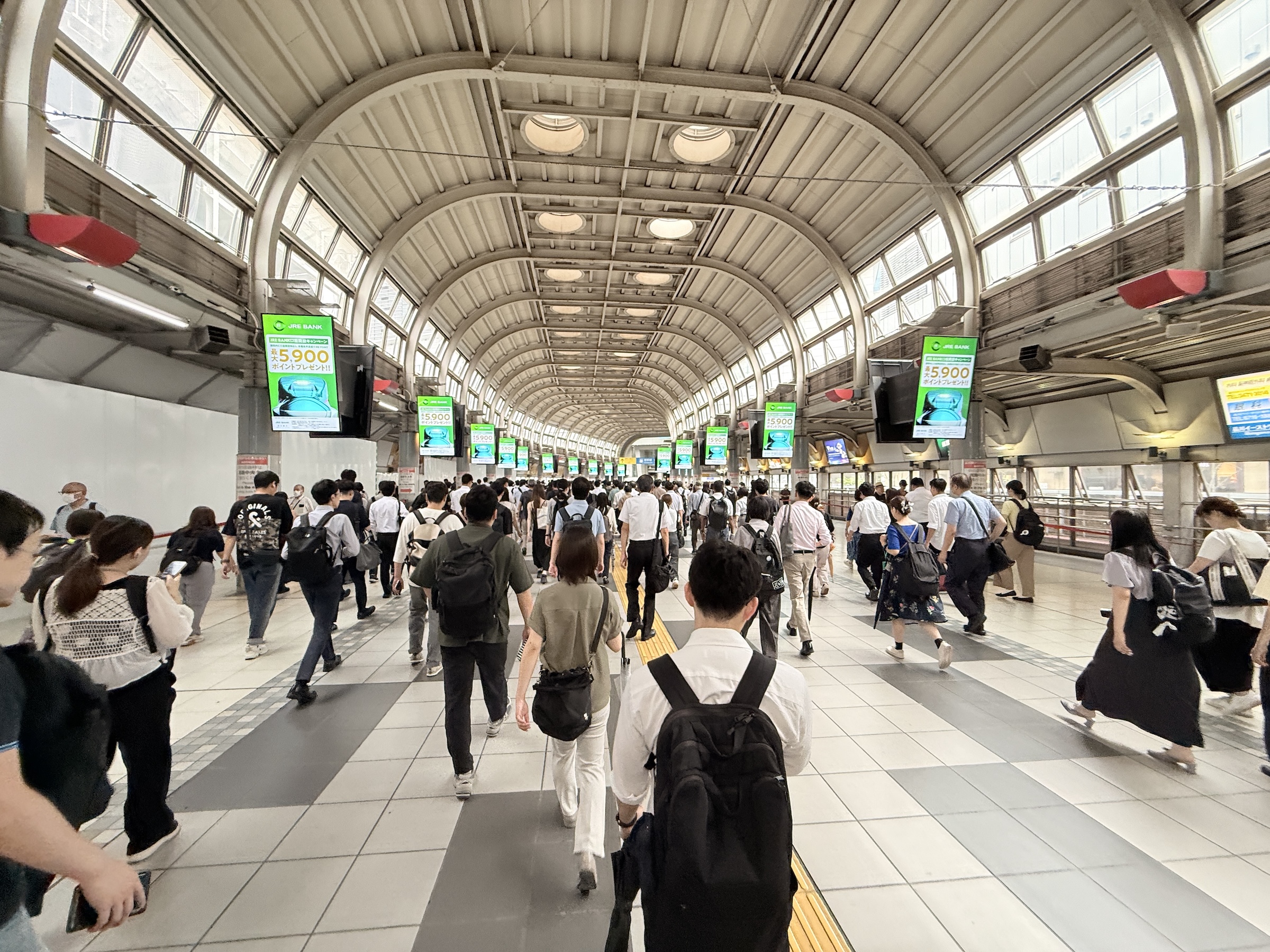
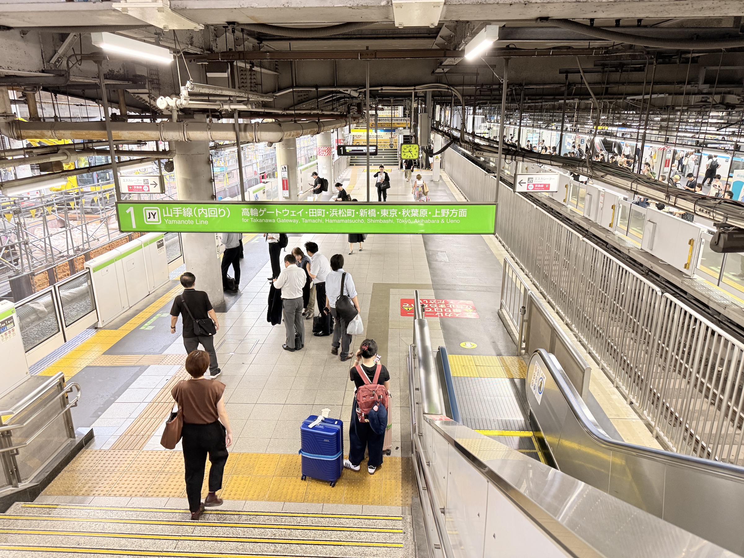
And for the evening I made a run out to the Mandarake store (books, cards, collectibles) in Shibyua. At 5.30 ish, it was almost too late. You don’t want to get crushed on the train by the commuters that go home.
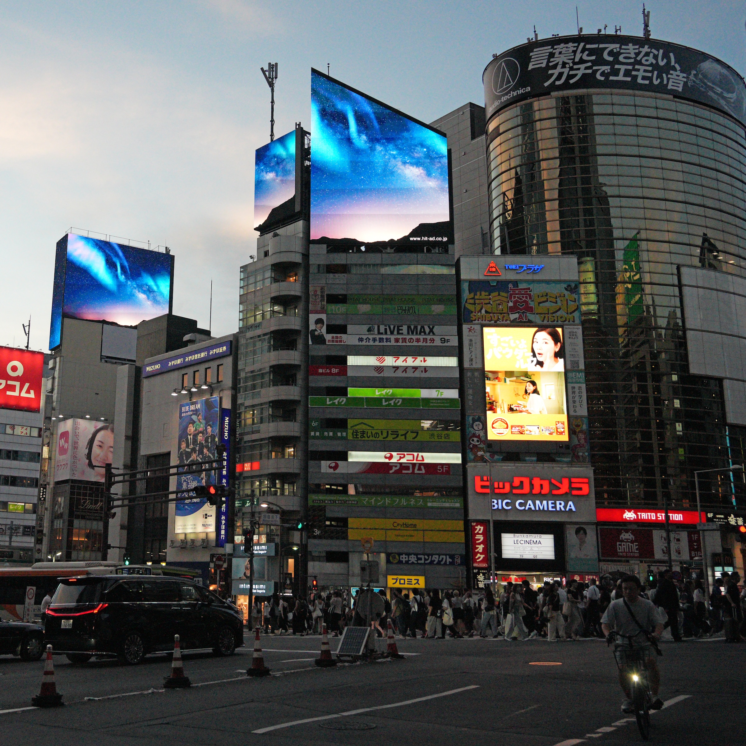
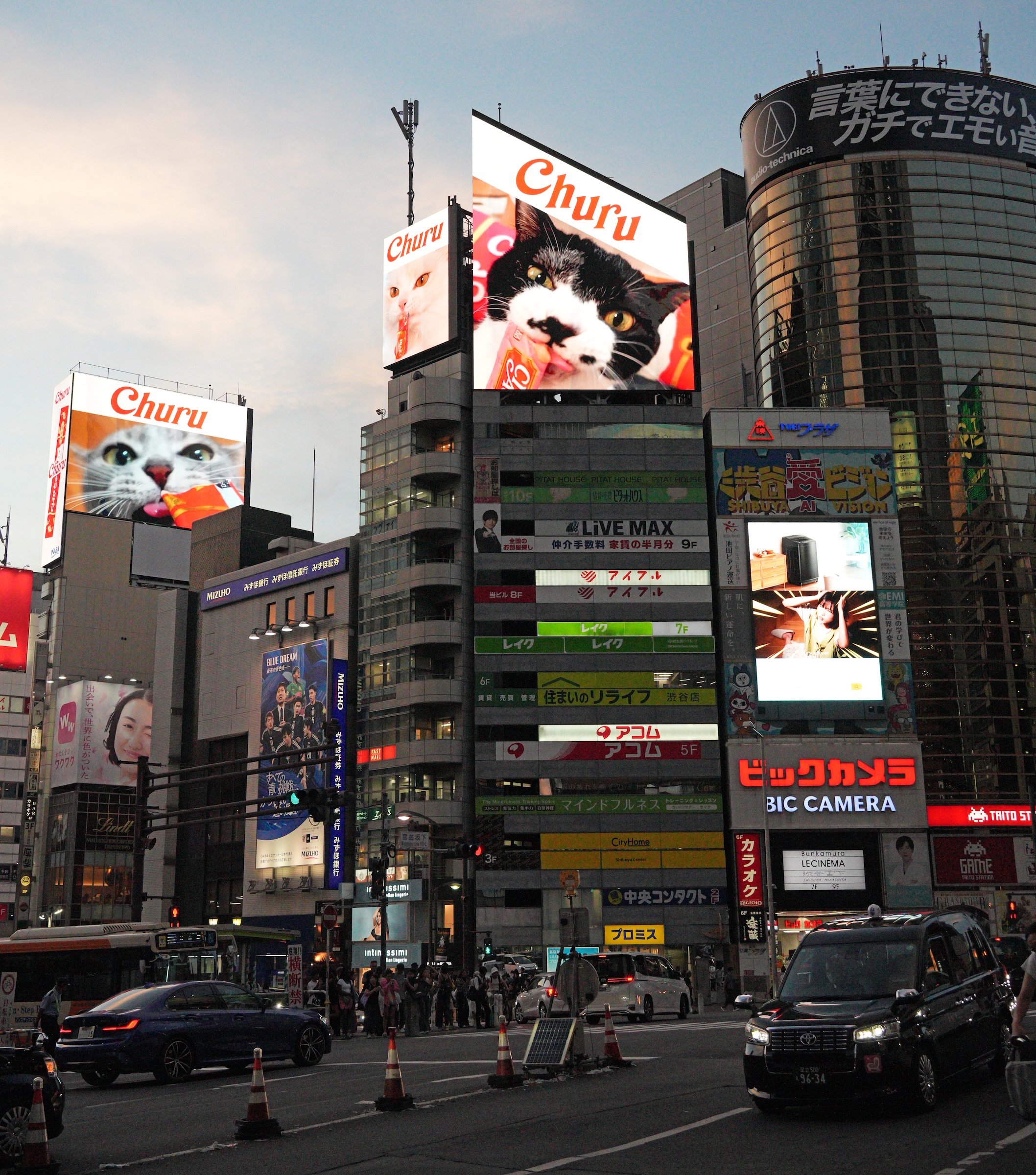
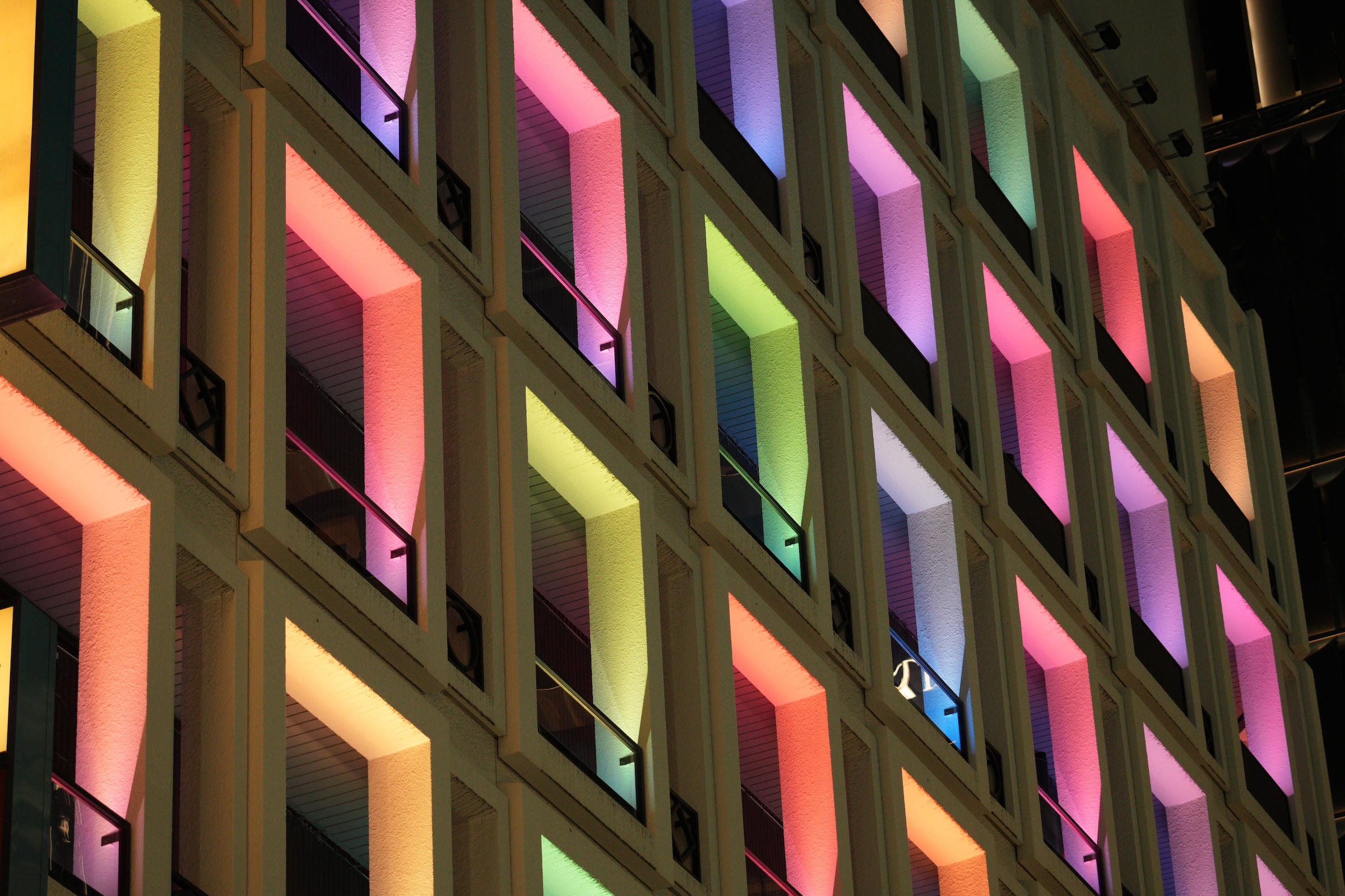
At Shibuya Scramble Crossing: lots of crazy people and definitely too many foreigners taking selfies and annoying the locals, I’m sure.
Get out of my way!

Wednesday/ Ginza district 🪭

On Wednesday night I did my mandatory (mandatory for me) walk-about along the main street in Ginza, Tokyo’s luxury shopping district. The street is named Chuo-dori, which translates to ‘Central Street’.
The sign in the first picture says ‘Ginza Block 6’.

Stores on Chuo-dori close at 7 or at 8. The Onitsuka Tiger store (Japanese footwear maker) was filled with sneaker aficionados right until closing time. Look for the storefront with the cool tiger neon sign in the pictures below.

Tuesday/ Shibuya 🏙️

I took the Yamanote line to Shibuya station on Tuesday morning.
My reservation to visit the open air observation on top of the Shibuya Scramble Square Tower had rained out last week, so I wanted to give it another try.

That’s the Shibuya Sky Deck, the observation deck on top of the Shibuya Scramble Square Tower (the deck takes up the entire top of the tower). 
The Tower is the tallest building in the Shibuya district of Tokyo and contains shops, offices, and event spaces in addition to the observation deck on its rooftop. The building and the observation deck opened in November 2019.
All of the windows on the four floors at the bottom form a giant display screen.
A photo from 1957 of Shibuya station that was in the lobby. The round dome in the foreground was part of a planetarium. It is still there but now part of a building called Shibuya Cultural Center.
My attempt of a panorama view of the Shibuya Mark City Walkway, a free elevated pathway connecting to Shibuya Station and offering excellent views of the Shibuya Scramble Crossing. During rush hour, the streets and station is flooded with office workers, and a major new walkway connecting the east and west sides of Shibuya Station is under construction, scheduled to be completed around 2030.
All right. Here is the Sky Deck, with its two levels.
It has a 10-ft high glass perimeter and netting. Even so, all backpacks, hats, loose items, have to be stowed in the locker room before you are allowed entry onto the deck. Cameras with straps (like mine) were OK. Yay.
There is the elevated walkway on the bottom left.
The famous Shibuya Scramble Crossing that the building was named after (four sides with one diagonal) is at the bottom right.
The structure with the black roof at the bottom of the green space is Yoyogi 1st National Gymnasium, built for the 1964 Summer Olympics.
And here is a telephoto lens look at Japan National Stadium, built for the 2020 Summer Olympics (that took place in 2021 because of the COVID pandemic). The 2025 World Athletics Championships is taking place there this week.
This is a Google office tower in the foreground. The subway trains are full of banners and posted ads about the new Google Cloud with AI.
This very tall smokestack next to the Yamanote railway line belongs to the Shibuya Incineration Plant, and the trains to its right are by Ebisu train station south of Sibuya.
This view has both the SkyTree tower (gray, far away in the distance on the city skyline) and Tokyo Tower (far right, red and white lattice structure) in.
A mosaic of turquoise and gray tiles.
This is the Shibuya Hikarie ShinQs, a high-end, eight-level department store featuring fashion, housewares, dining and gourmet food hall on the ground floor.
A closer look at Tokyo Tower.
To its left is Azabudai Hills (麻布台ヒルズ, Azabudai Hiruzu)— a complex of three skyscrapers from a major new mixed-use urban development completed in 2023. The complex features Japan’s tallest building, shops, restaurants, offices, and the teamLab Borderless digital art museum.
I am sure this map baffles many people that look at it.
It sits in the middle of the Sky Deck and uses an azimuthal equidistant projection to show how the world extends beyond the horizons seen from the deck. It’s possible to recognize the continent of Australia in there, but the blob at the bottom is actually Africa. 
Look for Vancouver at NW (7, 563 km/ 4,699 mi away), closest to where Seattle is.
I guess my question is: why does Shibuya show 40,030 km away (on the other side of Earth?). If Sapporo is 837 km to the North, should it not show 0 for Shibuya instead?

Monday/ back to Tokyo 🗼

I was out of the bed in my hotel in Seoul shortly after 4 am this morning.
I had to take the first train of the day (5.28 am) on Line 1, from City Hall Station to Seoul Station.

At Seoul Station, I took the 6 am Airport Express train into Incheon International Airport.
(Cost: US$9, with a free bottle of mineral water from Jeju Island thrown in. For me, it’s not really about the cost, though. I just think taking the train is a lot more interesting than taking a taxi.)

The flight out to Tokyo’s far-away Narita Airport was slightly delayed, but went without incident.

At Incheon International Airport’s Terminal 1.
On the large screen there was an animation of “The Sleeping Gypsy” (1897) painting by the French Naïve artist Henri Rousseau. (The lion sniffs at the sleeping woman in the painting).
A welcome bit of color added to the beiges at the gates at Incheon International Airport.
We flew east for 2 hours across the East Sea to get to Tokyo.
The flight route makes it seem as if the pilot was asleep and said Oops! I better turn south to get to Tokyo.
Here’s the Asiana Airlines Airbus A380-800 (quad-jet, A388) at the gate at Narita Airport. I had a seat on the aisle at the back and on the upper deck.
On the Narita Express train, and on our way to Shinagawa Station where my hotel is.
I bought my ticket (13.14 pm departure) for the Narita Express at the ticket counter with only 8 minutes to go until departure time. I know the way to the platform, so I could do that. The next train is 30 minutes later, and I did not want to wait.
A nice scene from the countryside.
I had just stepped off the Narita Express train at Shinagawa station, this is a quick picture as it departed. Looks like the driver has a nice view of the track from the top of the train. The E259 series (E259系) is a DC electric multiple unit (EMU) train type operated by East Japan Railway Company (JR East) in Japan since October 2009.
This train has the new livery which was introduced in 2023.

Sunday/ Lotte World Tower 🌐

I could not very well go up Seoul Tower, and leave Lotto World Tower out, right?

So off I went today to Lotto World Tower, even though it was a 40 minute train ride out there.

There is an express double-car elevator that whisks the humans inside up to the 117th floor* in one minute flat. I felt a little vertigo, and my ears popped on the way up. There no view to the outside, just display screens on the sides and ceiling of the car.

*The Seoul Sky observation deck in the Lotte World Tower spans seven floors, from floors 117 to 123.

Here is the scene that greets you as you emerge from the exit at Jamsil station on Line 2 of the Seoul metro.
I can only get the top of the Tower in when I stand close to it, of course. That little platform in the middle at the top is a sky deck.
There is a luxury shopping mall at the base of the Tower, with the tower visible through the skylight. That’s the elevator shaft of the shopping mall on the right.
All right! Now we can look out at the world from 120 floors up. Here is the Han River, and Seoul Tower on Namsan Mountain in the distance.
Looking southwest here. The skyline in the distance is 40 km away (24 miles), and it is of the city of Ansan, South Korea.
A great view of the bridges that span the Han River.
This green space is Olympic Park.
It opened on May 28, 1986. Built at a cost of US$200 million, it was built to host the 1986 Asian Games and the 1988 Summer Olympics.
Down below is the theme park and recreation complex called Lotte World, sometimes called the ‘Korean Disneyland’.
Phalanxes of apartment buildings. Yes— no way to house almost 10 million residents in your city by building single family homes on plots of land.
Looking down from the 123rd floor into one of the atriums with a photo spot and a scenic view of the Han River.
There is a little skybridge at the top of the Tower. I did not sign up for it!

Saturday/ Seoul Tower 🚡

Seoul Tower is not far from my hotel.
I opted for the cable car to get me to the summit.
A parking lot at the summit can also be reached by bus or by car— or even by walking up all the way with a stairway called the Sam-soon Steps.

Looking towards Seoul Tower from the grounds of City Hall near my hotel.
This is a 5x telephoto lens picture, so the picture makes it appear closer than it really is.
Myeongdong Station on Line 4 of the subway gets one close to the cable car station, but there is still a steep 1/4 mile walk up the hillside, from the train station to the cable car station.
Here we go! In the cable car, and looking back at the cable car station.
Look for Lotte World Tower in this panorama picture.
Lotte World Tower is located to the southeast of Seoul Tower. Seoul Tower is on Namsan Mountain, which is north of the Han River (in the picture), while Lotte World Tower is in Jamsil, which is on the south side of the river.
A closer look at the bridges over the Han River, and Lotte World Tower.
There is another smaller, independent lattice tower nearby Seoul Tower.
This a communications tower (can send and receive signals). The antenna on top of Seoul Tower is a broadcast antenna for TV and radio (transmission tower).
Look for the cable car stations at the bottom and at the summit, on the right side of the picture.
I like the markers in the windows with cities and distances. The border with North Korea is just some 30 miles from Seoul, and the capital Pyongyang only 153 miles as the crow flies.
And Seattle is 5,227 miles away to the east, and on the other side of the Earth (kind of), in the Western Hemisphere.
Flying to the “other side of the world” is a theoretical concept, but a direct, non-stop flight across the Earth’s circumference would take approximately 20 hours in a commercial jet, though no such flight is possible with current commercial airliners.
[Source: Google AI]
Now making our way back to the base station. I bought a commemorative coin at the top of the tower (because I like coins), and put a postcard with my name and address on, in the mailbox there. I will post a picture of it if it makes it to Seattle.

Friday/ around Seoul 🇰🇷

Happy Friday. (I know it has been an awful week for the national psyche in the United States).
Here in the Far East, it was the first day with milder temperatures for me (a high of 28°C/ 83°F in Seoul today).

I walked around the hotel here by Seoul’s City Hall for a bit this morning, and then went out to Dongdaemun Design Plaza (DDP) with the No 2 subway line.

This green space is right by my hotel.
In it is the shrine called Hwangudan (황궁우 / 皇穹宇)— also known as the Wongudan Altar. It was constructed in 1897 by Emperor Gojong of the Korean Empire and renovated from 2015 to 2017.
Not far away is Deoksugung Palace (the Royal Palace). The morning’s Royal Guard Ceremony was just finishing up as I arrived there.
Lots going on by Seoul City Hall— workers at a company protesting about their working conditions or contracts, and Seoul Bike workers repleshiing the bike rack.
Korea’s first driverless autonomous shuttle will run along to the Cheonggyecheon Stream in downtown starting in late September, after test runs and safety checks.
A closer look. There is a U-shaped seating bench inside and a large screen.
Korean manhwa on a large screen on a building.
Yes, Apple had better advertise its new iPhone because this is Samsung’s home turf. (Samsung has 70% of the smartphone market here, Apple about 20%.)
And is all that on the entire side of the building a screen? Sixteen stories tall about something AI? Why, yes. Why not?
Seoul tour buses by Dongdaemun Design Plaza.
Dongdaemun Design Plaza (DDP) is a major urban development landmark in Seoul, designed by Zaha Hadid and Samoo, with a distinctively neofuturistic design characterized by the powerful, curving forms of elongated structures.
[Source: Trip Advisor/ Viator]
That’s a heart-shaped outline on the stairs for a charity event that was held in the space below.
The exit/ entrance to the Line 2 train station is on the right. A camera crew is recording a discussion and a performance.
A few other public art installations are on display as well. I could not find the name of this one.
This one is called Molecular Cloud by French artist Vincent Leroy.
This is inside: an art garden filled with artwork. (The little trees are not real trees).

Thursday/ from Osaka to Seoul 🚆 ✈️

As it happens, both the departure and arrival airports for my flight today are located on man-made islands.

It took two train rides to get me to Osaka’s Kansai International airport (KIX), and after I had arrived at Seoul’s Incheon airport (ICN), two more trains to get me to my hotel in the city.

Early morning on the platform at Tengachaya Station, Osaka.
This is the train operated by Nankai Electric Railway (Nankai Den-tetsu), that ran us out on the Nankai Line to Kansai International airport.
Kansai International Airport sits out in Osaka Bay, and is connected to Osaka by a causeway that carries road and rail traffic.
The view out the window at Kansai International Airport (KIX).
The airport is famous (infamous?) for sinking into the sea because its foundation was built on the soft, compressible clay in Osaka Bay, which could not fully support the immense weight of the artificial island.
Engineers have implemented ground improvement techniques like vertical sand drains to speed up the drainage of water from the clay and stabilize the ground, which reduced the sinking rate from over 19 inches per year to about 2.3 inches annually by 2023.
[Source: Google AI Overview]
Here’s our flight path to Seoul’s Incheon International Airport, about 2 hours in duration.
The Asiana Airlines Airbus A350-900 (twin-jet) that took us to Incheon International Airport, at the gate at Terminal 1.
Inside Incheon International Airport’s lower level, with the ceiling that makes me think of a Star Trek spaceship. I’m making my way to the Airport Express train platform.
An art installation of stylized traditional Korean houses— known as “hanok” (한옥)—in the airport’s ceiling.
Here is the platform for the Airport Express train that runs from Incheon Airport to Seoul Station in the city, with no stops. There are ‘milk trains’ (All Stations trains) that depart from this platform as well.
TV screen on the Airport Express train.
The debacle with the 300-some South Koreans detained in the immigration raid at Hyundai’s facility in Georgia is front page news here.
The route from Incheon International Airport to Seoul Station.
Here’s Banghwa Bridge (방화대교), seen from the Airport Express train.
It is a distinctive orange-colored arch bridge over the Han River.
I had made it into Seoul Station, and took the local line just one stop to City Hall station. That’s City Hall, with a futuristic new (2012) extension behind it. I will take a few more pictures tomorrow.

Wednesday/ Abeno Harukas views 🏙️

I set out this morning to take a ride on the streetcar that starts at Tennojiekimae Station. Just with dumb luck, I discovered upon arriving there that Osaka’s tallest building is right there, as well.
So I first went up to the observation deck on the 60th story of Abeno Harukas, and then took a short ride on the street car.

Today was my last full day in Osaka.
I am flying out to Seoul, Korea (two hours on Asiana Airlines), in the morning.

Here’s the Abeno Harukas complex, constructed in 1992. (“Harukas” is an old Japanese expression meaning “to brighten, to clear up.”). It was the tallest skyscraper in Japan from the completion of its observation deck in 2014, until 2023. (The Azabudai Hills Mori JP Tower in Tokyo has 5 more floors and is now Japans’s tallest building.)
Abeno Harukas is an amazing building complex that boasts: the 58th-60th floor observatory; from the 38th-55th floors and 57th floor, the Osaka Marriott Miyako Hotel with restaurants; 17th and 18th floor offices; the 16th floor Abeno Harukas Museum and rooftop garden; 2nd basement to 14th floor, the Kintetsu Department Store; 1st basement and 1st floor: Osaka Abenobashi Train Station, and 4th and 3rd basements: parking lot. Wow!
I made it to the the 60th floor observatory, and this is an open air atrium consisting of the 58th to 60th floors.
There are taller towers than Abeno Harukas in Japan: Tokyo Tower and Skytree.
Here’s the view looking more or less north over the city of Osaka. The view was not too hazy, and the air quality index today was 44. Osaka castle lies out north as well, in a large green space, but was too far too see with the naked eye. 
Looking at the ‘model trains’ that run on the tracks below. The track that runs out to the top left corner is the Osaka Loop Line. The one with the white train on it is the Yamatoji Line (大和路線, Yamatoji-sen), the common name of the western portion of the Kansai Main Line in Japan.
Here’s a bird’s eyeview of beautiful Keitakuen Garden. I would have loved to spend a little time there.
This commemorative coin from a vending machine in the observation deck was all of ¥600 (US$ 4.00). And you get a little show while the punching machine adds your free engraving on the edge of the coin. Nicely done!
All right, now I’m heading to Tennojiekimae Station for my short little street car ride.
The street car is full, but I don’t mind standing up front. I have a great view of the track, and the street car that passes us by. The Hankai tram line itself began service in 1900, making it approximately 125 years old. 


Tuesday/ more Expo 2025 Osaka 🏯

I walked over to the West Gate today (both days I had entered at the East Gate), where I found Astro Boy.

I also tracked down the Japan Pavilion with its beautiful ‘golden hat’ design. The Golden Surface of the Japan Pavilion was created by the designers Nikken Sekkei. They used an iridescent color shining technology— a technique that involves engraving microgrooves onto the surface, which interact with light to produce a dynamic, multi-colored sheen that changes with the viewing angle.

As the sun was setting, everyone went up to the Grand Ring, to watch the daylight end.

Monday/ at Expo 2025 Osaka 🤗

I made it to Expo 2025 Osaka!
It’s hot and it’s crowded with very, very long lines at most pavilions— the ones that allow you in without a reservation, that is.
Entrance to the top-rated pavilions are pre-allocated by a lottery system. I struck out despite diligently applying, as far out as three months before my visit today.

No matter, once you have made it into the entrance gate (with 180,000 others), you are in a world onto its own, inside the Grand Ring. The Ring is the world’s largest wooden structure, constructed on Yumeshima (夢洲), the artificial island located in Osaka Bay.

The USA pavilion is a structure designed by Trahan Architects with two triangular wings and a raised translucent cube flanking a central plaza. It features video imagery that features the Plains, the mountains and the cities in the US— and hey! Seattle’s Pike Place market made an appearance as well. 

I was mesmerized by the installation of shiny cubes called null². The sun bounced off the surfaces, and a low sound was emitted from the structure.
Developed by Yoichi Ochiai, the pavilion’s structure is based on a cubic grid of voxels measuring 2 to 8 m (6 ft to 26 ft) wide. The facade is covered with a membrane that resembles a mirror.  [Source: Wikipedia]

Look for a few images (towards the end) beamed out from the enormous high-resolution screen outside the Korea pavilion. The three-story pavilion has a high-resolution screen on its facade that is 27 m (89 ft) wide. The screen displays on a spectacular series of animated images and videos.

South Africa withdrew from Expo 2025 Osaka in late 2024 despite repeated invitations from the Japanese government, citing the country’s ‘financial constraints’. 

Sunday/ shinkansen to Osaka 🚅

All went well with my train ride to Osaka.
It is an amazing experience to travel at 175 mph (280 km/h) on the tracks, with the landscape flying by the window.

A handy map from the free wifi on the shinkansen. Those lines are just names for the shinkansen* between different cities. Nozomi shinkansen (the express train with the fewest stops) on the Tōkaidō Shinkansen line from Shinagawa to Osaka stop at Shin-Yokohama (where I was yesterday), Nagoya, and Kyoto before arriving at Shin-Osaka.
It was 2 hrs 20 mins from Shinagawa station to Shin-Osaka.
*Shinkansen (新幹線) in Japanese means ‘new trunk line’ or ‘new main line’, but this word is used to describe both the railway lines the trains run on and the trains themselves. In English, the trains are also known as the bullet train.
Taxis, six abreast, at the taxi stand at the Nagoya station. Uber is not big in Japan, but you do see Uber branded taxis. Go Taxi is the app of choice for ordering a ride share taxi in Japan.
This is the 五重塔 (Gojū-no-tō) or Five-storied Pagoda at Tō-ji Temple in Koyoto.
It is known as the tallest wooden tower in Japan and I had a nice view of it from my train seat as we left the Kyoto station.
I have arrived at Shin-Osaka station. I’m just catching my breath and looking for the way to the taxi stand. There is a local train line to the hotel from here, but it’s way too warm outside to walk even four or five blocks with all my luggage in tow. I’m heading to the taxi stand.
Looking towards the sunset at Dotonbori Bridge.
Earlier, I had checked into my hotel by the Chuo line (that runs to the 2025 Osaka Expo, where I will go to on Monday and Tuesday). The metro stations were swamped with people, and one can see that the metro had added all kinds of signage and directions for the train riders to the Expo to the stations, to try to better manage the congestion.
There is a nice old-fashioned neon sign at Dotonbori Bridge.
It doesn’t show too much in these pictures, but there were throngs of tourists in Dotonbori Street, the vibrant and busy thoroughfare in the heart of Osaka known for its neon signs, entertainment, and wide variety of eateries.
I love the dragon.
Off to the side, and just a block or two away, are quiet alleys that also have restaurants and izakayas (a type of informal Japanese pub that serves alcoholic drinks like sake and beer along with a variety of small snacks).

Saturday/ shinkansen to Yokohama 🚅

Yokohama is south of Tokyo, and one of the first Japanese ports that opened to foreign trade, in 1859.
I made a run there on Saturday morning on the Nozomi shinkansen out of Shinagawa station— a trial run of sorts, for my trip to Osaka on Sunday.
It’s 19 km (12 miles) and only 18 minutes from station to station. A trip by car would take about 40 minutes.

I bought my tickets at Shinagawa at the machine. (The online website does not accept my US credit card.) This is the return ticket portion, and it was very complicated to use. An attendant helped me buy a return ticket for a specific date, time and train, and then I had to put it on top of this one, and both into the slot at the ticket gate to make the gate open up for me. Yikes! Too complicated. 
I have an electronic ticket for Sunday’s run to Osaka (with a QR code), and that should work much better.
Incoming! Pay attention people, here comes the train.
The train has 16 cars. I have a reserved seat* ticket, and I am at the gate for Car No 6. There’s the seat map as well, like the ones for an airplane when you pick your seat online. *The tickets for unreserved seats are cheaper, but you might get booted from your seat by a reserved seat ticket holder and then have to stand all the way.
Built for speed. The N700 series is a Japanese Shinkansen high-speed train with tilting capability developed jointly by Japan Rail Central and JR West, for use on the Tōkaidō and San’yō Shinkansen lines. It has been in operation since 2007.
Inside it looks like an airplane. This car has ‘Ordinary’ seats. The ‘First Class’ seats are a little bigger.
All right, we’re skipping ahead all the way to the Yokohama Air Cabin cableway. A lot has happened since I stepped out of the shinkansen at Shin-Yokohama station. I boarded the local Blue Line and went seven stops to Sakuragicho station, and then walked 5 minutes to where I could board the Air Cabin cableway.
This is the view from the end of the Air Cabin cableway, where there is a 6-story shopping mall complex called Yokohama World Porters. The tall square building is Yokohama Landmark Tower, which stands at 296 meters (971 feet) high. It was Japan’s tallest building from its completion in 1993 until 2014.
A look outside the shinkansen window, on my way back to Shinagawa. The rooftops and steel trusses and pylons flash by at high speed.

Friday/ Shinjuku 🚆

The rain was relentless on Friday here in Tokyo.
I ran out to Shinjuku train station in the morning and got lost inside the enormous station— before getting soaked in the torrential rain outside of it. 😱

Come early evening the rain was over, though, and I went back to see if I could navigate the station better, and to take a few photos.

The view outside my hotel room in the morning. The top of Tokyo Tower is hidden in the low clouds.
Ooh! .. not looking good out here on the ground, I am thinking.
It is mid-morning and I am on the way to Shinagawa station on the hotel’s shuttle bus.
A colorful mural inside Shinjuku station.
There is no lack of directions to the myriad train lines and exits in Shinjuku station, but Shinjuku Station has over 200 exits and many platforms of different shapes, spread out over a large area, along with department stores covering nearly all sides.
I tried to have Google Maps give me walking directions, and it worked— until it said ‘If there is no GPS signal, navigation may stop working’. Yes. No sh**.
A mural inside Shinjuku.
Looking for a used car? Use the Car Sensor app.
The characters and manga style are from the iconic series City Hunter, which is being used here in a parody/comedic fashion to draw attention.
All right! By sunset (6.02 pm) the rain was gone, and now I’m going to run out to Shinjuku one more time.
This is the exit I had looked for in vain this morning: the South East Entrance by the Lumine 2 store. I am on my way to Takashimaya Times Square nearby.
A street-level view of the pedestrian crossing at the South East Entrance.
I walked several hundred yards now, further to the south, where there is an overlook of the railway lines going into the station.
The clock tower located near Takashimaya Times Square is on the NTT Docomo Yoyogi Building. It’s just a day or two until September’s full moon.
I made it back to Shinagawa Station and now heading back to the hotel. No rain!
Check out the sleek billboard above the Hollywood pachinko parlor. It advertises an even sleeker, faster bullet train that is coming— able to fly at 500 km/h (311 mph) on the tracks.
The almost-full moon over a gate in the Japanese garden on the hotel grounds.

Thursday/ Akihabara and Tokyo Station 🚆

There was drizzle on and off here in Tokyo on Thursday, at a damp 85°F (30 °C).
Outside, I could only take pictures here and there with my big camera, but managed to get a few of the iconic 1914 Tokyo Station building (extensively renovated and restored in 2012).
I also made my first run to the Yodobashi Akiba store in Akihabara.

Nice infographic from the hotel room TV. The pink blobs are Japan’s main islands. That’s Tokyo in the bottom right corner, showing that the 30 °C is down 7°C from yesterday (85 °F , down from 99 °F). Yay! .. even though it still feels very warm and humid. (And are those little characters chickens?)
This is about 9.30 am and I caught the tail end of the morning rush hour into, and out of Shinagawa station.
Office workers and a few others (me) streaming out of Shinagawa station. Walk on the sides, if you are coming into the station, said the display screen.
All right, now I’m heading down to the Yamanote Line— the loop line with Shinagawa station on it, near my hotel. This line has been in service for 140 years now (constructed 1885) and is used by some 4 million people every day. The train had left just a minute ago.
Hello, Yodobashi Akiba! It is by Akihabara station, 8 stops to the north of Shinagawa station.
The toys for kids of all ages are on the 6th floor. The bank of pink claw machines was not there two years ago when I last visited.
In Japan, claw machines are most commonly called “UFO catchers” (ユーフォーキャッチャー) or “crane games” (クレーンゲーム). The term “UFO catcher” comes from the appearance of the claw mechanism, which resembles a UFO descending to capture a prize, a term popularized by Sega when they introduced the game in 1985.
[From Wikipedia]
I bought a few of these Takara Tomy animal figures: the lion, the cheetah, a gorilla, a peacock, a shoebill stork.
Help! The shoebill stork fell down (is its bill too big and heavy?) and someone needs to come and fix the display case. The chameleon figure (bottom) has a movable tongue that can be pulled out and pushed back in. Nice. I now regret I did not get the chameleon, as well.
On the way back on the Yamanote line, I saw Tokyo Tower out of the train window by Hamamatsucho station. It seemed nearby and I stepped out and walked the five or six there— kind of regrettting it, because it started to drizzle. This green space near the Tower is called Shiba Park.
I’m standing under a Himalayan cedar, and that’s the Buddhist temple called Zojo-ji Temple.
From Wikipedia: At its peak the temple grounds had more than 120 buildings, but following the decline of Buddhism during the Meiji period (1868-1912), most of them burned down during the bombing of Tokyo in World War II. Reconstruction began after the war, with the Daiden (great hall) being rebuilt in 1974.
Here’s the Himalayan cedar. A plaque by the tree notes that General Grant (18th President of the United States) planted this tree when he visited Zojo-ji Temple as a guest in 1879 (that’s 146 years ago).  The main gate to the grounds is under renovation and enclosed in a sheet metal building behind the tree.
A cemetery by the temple, presumably with ashes from the deceased. The cemetery at Zojo-ji Temple holds the mausoleums of six Tokugawa shoguns* and their families, serving as the family temple for the Tokugawa clan.
*The shogun (short for Sei-i Taishōgun, 征夷大将軍) was the supreme military and political leader of Japan, ruling for nearly 700 years. The rule of the shoguns ended in 1868 with the Meiji Restoration, which was triggered by growing internal discontent and the disruptive arrival of Western powers.
Dai-Nokotsudo, or Shariden, is where the bones of deceased are stored. It is made of stone and was created in 1933.
Here are several pictures of the Tokyo station building, taken late afternoon and early evening. Tokyo Station is surrounded by many modern glass and steel office towers.

Wednesday/ arrival in Tokyo 🗼

It was a smooth and uneventful flight and we arrived 30 minutes early at Tokyo’s Haneda airport.
It was a short ride (20 mins) on the Keikyu train line to get me to Shinagawa station. I had set up my transit card (Suica card) from my visit two years ago as a digital transit card in my iPhone’s wallet. That way I can tap the reader at the gate with my phone, without even needing to unlock it.

Even though it was only a 6 or 7 minute walk to the hotel from Shinagawa station’s exit, I waited for the hotel’s shuttle bus.
The heat was still oppressive at 8 o’clock— 85 °F (30 °C) and high humidity.

P.S. I turned on my eSIM phone line from global mobile data service provider Ubigi and it works great— a first for me, to use an eSIM phone line for international travel on my iPhone. So it’s farewell to the expensive international service provided by AT&T (expensive, as in 3x or 4x more expensive! Yikes).

Top to bottom:
Smoky skies over Washington State;
Flying almost due west for 10 hours across the Pacific Ocean;
Welcome signs at the exit of the arrivals hall at Haneda airport.
At the gate at Handa airport’s Terminal 3

Tuesday/ at the airport 🛫

I made it out of the house and to the airport (thanks, Bryan!) and here are two pictures taken from the South Terminal at Seattle-Tacoma airport.

I am in the lounge and cannot see the gate where I’m departing out of. Hopefully the All Nippon Airlines bird has pulled up to the gate already. When I got here an hour and a half ago an Asiana Airlines flight (Korea’s No 2 airline) was just boarding.

Monday/ Japan’s scorching summer 🔥

My bags are packed, and I will fly west across the  International Date Line to Tokyo tomorrow.

It’s already Tuesday in Japan, and the highs are going to touch 99°F  (37°C) in Tokyo. By the time I arrive there on Wednesday evening, there will be a little respite from the heat, with rain on Thursday and Friday.

The Japan Meteorological Agency says the average nationwide temperature for the three months of June, July, and August was 2.36 °C (4.3 °F) higher than normal — the largest increase on record since comparable data became available in 1898.

From Google AI Mode, answering the question ‘Why is it so warm in Japan this summer?”
Specific meteorological patterns contributed to the long, intense heat this summer.
High-pressure systems: The Pacific High and the Tibetan High, two powerful high-pressure systems, extended over Japan during the summer. When they occur simultaneously, they create a “tall” high-pressure zone that suppresses cloud formation and produces prolonged periods of clear skies and sunny conditions.
Warming ocean currents: The ocean surrounding Japan has been abnormally warm. The Kuroshio (Japan Current), a warm current flowing northward from the Philippines, has been particularly active, holding the country in a “vice grip of warm water” and driving up temperatures even well into autumn.
[Still from national broadcaster NHK World with a meteorologist explaining the effects of the two overlapping high-pressure systems]

Sunday/ hazy skies ☁️

There goes August.
I walked down to the Melrose Avenue overlook at sunset to take a few photos of the sun setting behind the Olympic Mountains in the hazy sky.
The high was 76°F (24°C) here in the city today, air quality Moderate.
P.S. This is the last of the sunset photos for now!
I will soon travel to the Far East— and take all kinds of pictures with my new camera.

Sunset is now at 7.50 pm.

Saturday/ don’t be an entitled jerk 😲

From the New York Post by reporters Chris Harris, Bridget Reilly, Anna Young and Shane Galvin:
The “entitled” jerk who seemingly snatched a hat autographed by tennis star Kamil Majchrzak from a young boy at the US Open has been identified as a Polish millionaire.  (My note: I edited out his name).
Majchrzak, fresh off his victory over ninth seed Karen Khachanov when the incident unfolded Thursday night, confirmed his identity to The Post on Saturday and said he was initially oblivious to the now-viral snafu.
“Obviously it was some kind of confusion,” the tennis pro said, adding that the millionaire sponsors his tennis federation in Poland.

[Photo and caption from the New York Post online]