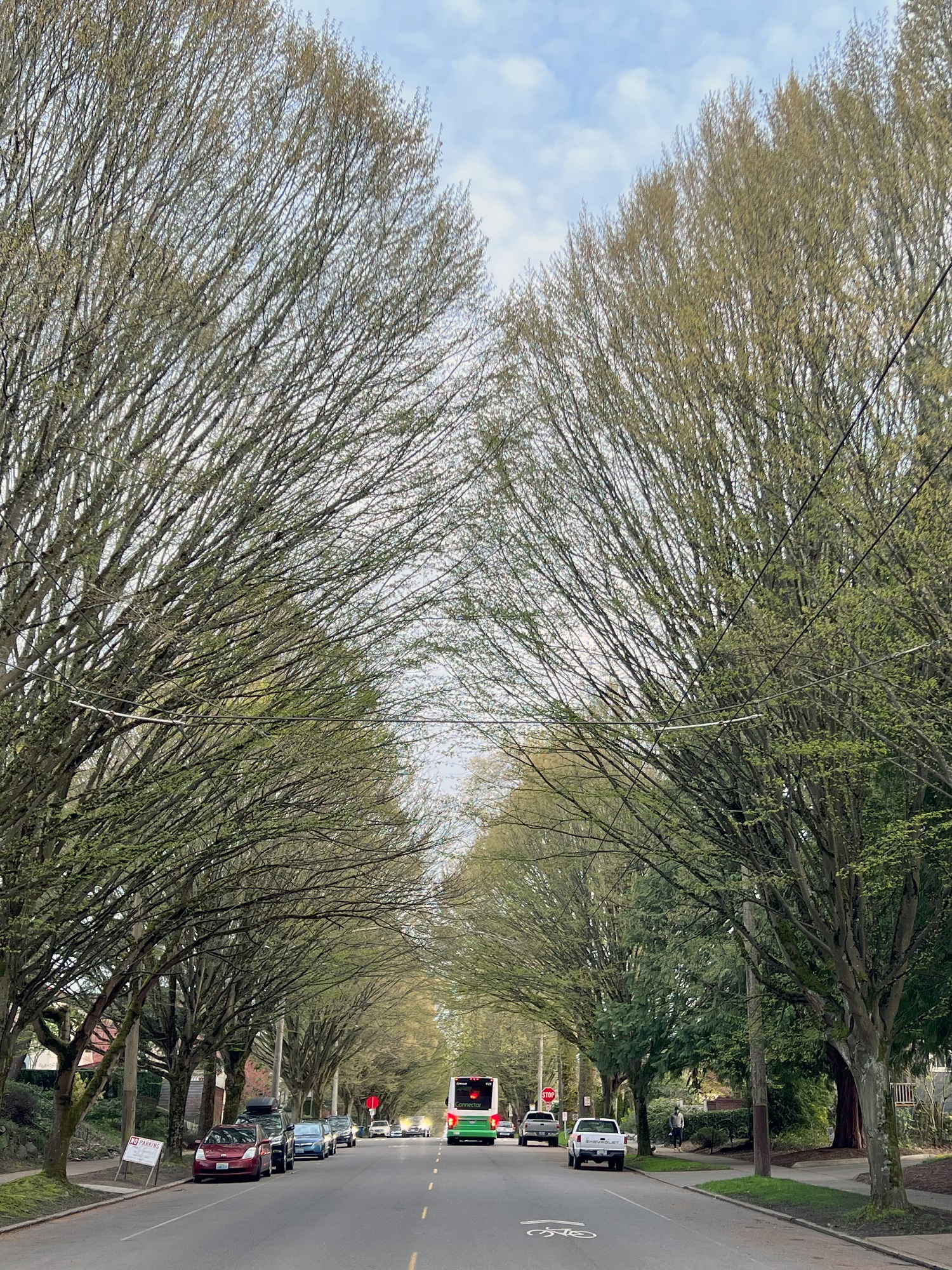
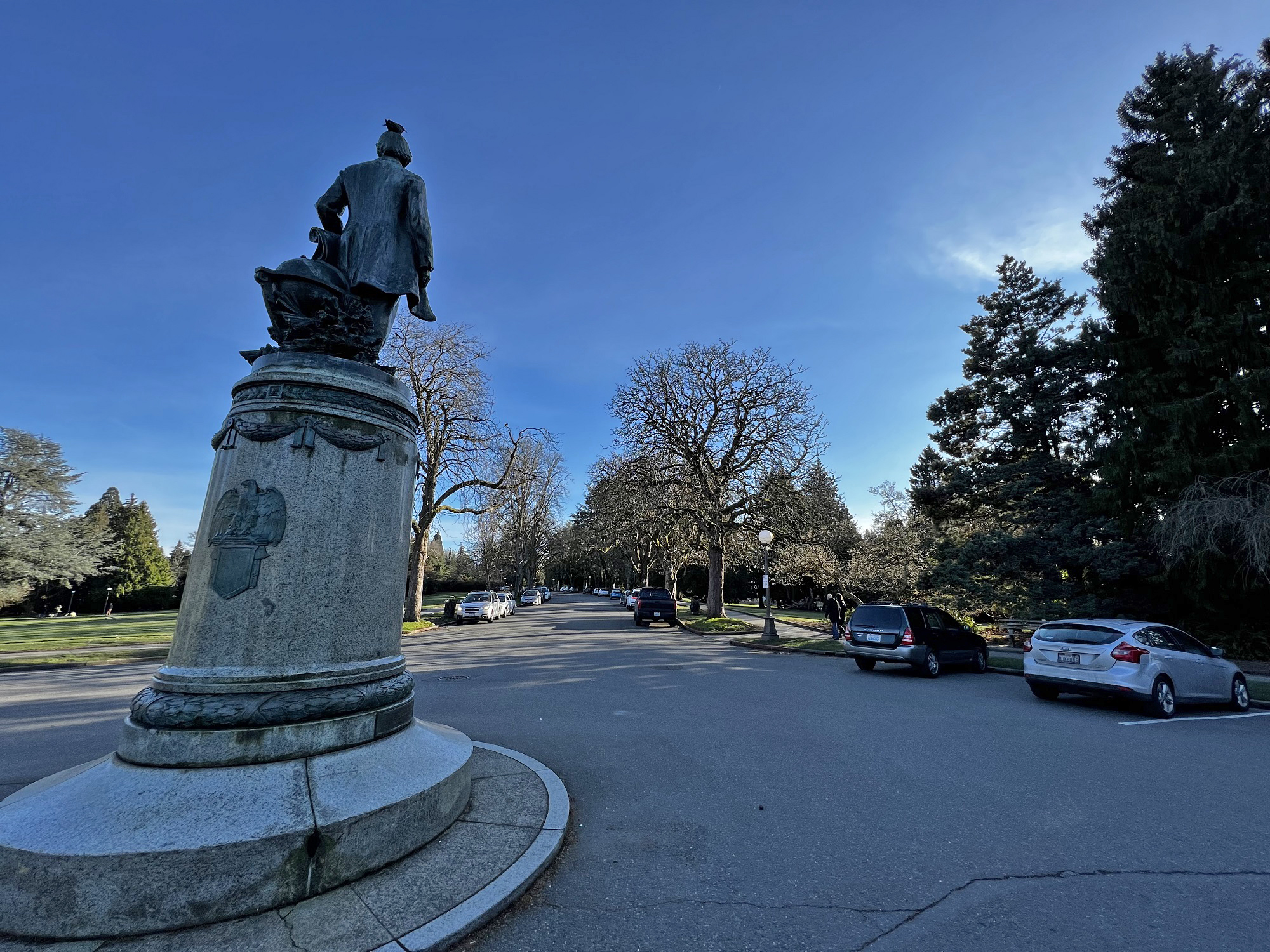
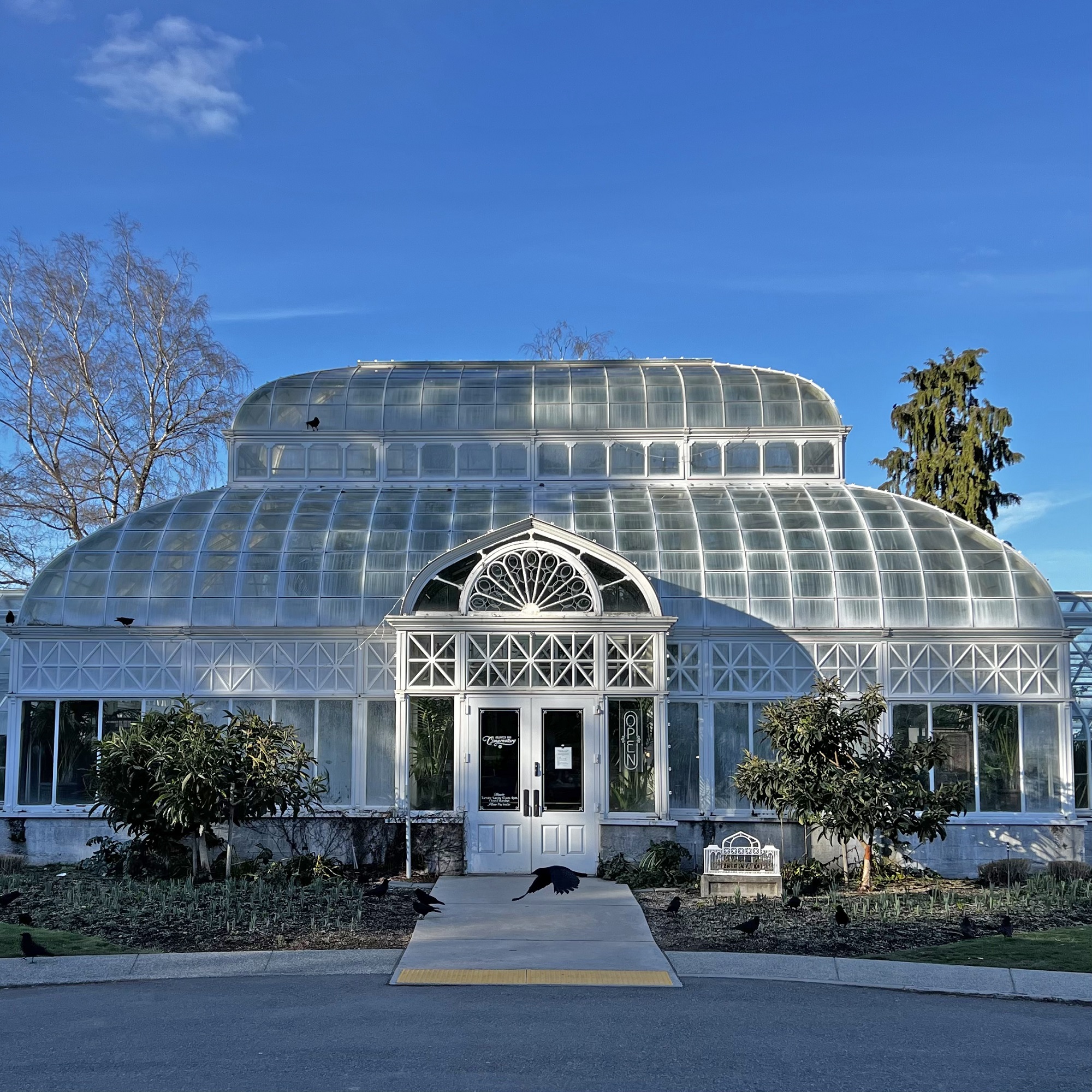
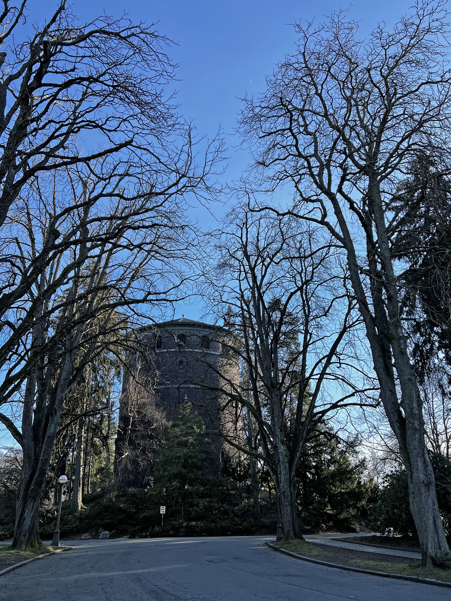
It was a hazy, sunny Sunday (81°F / 27 °C), warm for this late in the year.
Our 10-day forecast still does not show any rain.
Wednesday/ the storm: an update 🌪
From the New York Times:
Millions of Florida residents faced a harrowing night as wind, rain and storm surge from Hurricane Ian pounded the southwestern coast and moved inland late Wednesday on a path toward Orlando, knocking out power to more than two million customers statewide.
The latest:
A storm surge of up to 12 feet submerged cars, knocked over houses and trapped residents near where the hurricane came ashore west of Fort Myers. Some places remained too dangerous for water rescues, officials said, adding that they were taking down addresses to deploy resources once it was safe.
Ian is among the most powerful storms to strike the United States in decades, and Gov. Ron DeSantis said it would go down as one of the strongest in Florida history. It was just shy of Category 5 status as it made landfall about 3 p.m., but had been downgraded to a Category 1 by Wednesday night.
Monday/ here comes Hurricane Ian 🌪
There’s trouble brewing in the Gulf of Mexico: a monster storm system that’s 500 miles wide and at this point just about certain to make landfall in Florida. The trouble with the large natural harbor and shallow estuary that is called Tampa Bay, is that water being pushed into it, has nowhere to go. So the storm surge level could reach up to 10 feet in some places.
Thursday/ a very dry summer ☀️
So that’s it: astronomical summer here in the North is over.
It turned out to be the driest one ever recorded at the Sea-Tac rain gauge.
Only 0.5 in. of rain fell for all of summer (usually more than 3 inches).
Rainfall is still well above normal for the calendar year, though.
Friday/ haze
The skies around Puget Sound have been clear for most of summer this year.
There was some smoke haze in the air today, though— with a warm weekend in the forecast:
Saturday 89 °F/ 32 °C
Sunday 83°F / 28 °C
Saturday/ the last days of summer
It felt like fall this morning (high for the day only 71 °F /22 °C), with a spritz of rain on the ground.
This year’s summer brought stretches of hot weather, but no smoky skies from wild fires.
Wednesday/ the last of the heat? 🔥
We had 87 °F (31 °C) today and it may get to 90 °F (32 °C) tomorrow .. but the days are getting shorter and the weather will start turning soon.
P.S. ‘Heat’ is a relative term, of course. I read on Twitter of the Chinese city of Chongqing that recently had 113 °F (45 °C) for two days, with the night temperature at 93 °F (34 °C).
Monday/ twilight
Here’s Seattle photographer Tim Durkin’s picture as night falls on the Emerald City.
Yes, The Mountain is out —and had been out for most of the day.
The high today was 83°F (28°C).
We’re on our way to another 90 °F (32 °C) high, on Thursday.
That might be the last one for this summer.
Sunday 🌞
Today saw one more 95 °F/ 35°C high— and made for a record stretch of 6 days with >90 °F highs.
Monday will be a little cooler, and we may even see rain on Thursday.
Fancy that.
Saturday/ good, better, butter 🧈
We logged another 95 °F (35 °C) for the day’s high here in Seattle.
Just for fun, here are some Afrikaans expressions and idioms that use ‘butter’.
Ek het met my gat in die botter geval.
Translation: I have stumbled, with my butt stuck in the butter.
Meaning: I lucked out, in a big way.
My brood is aan altwee kante gebotter.
Translation: My bread is buttered both sides.
Meaning: I have the best of both worlds.
Dis botter tot die boom.
Translation: It is butter to the bottom.
Meaning: Said of a friendship that is thick as thieves.
Goed, beter, botter.
Translation: Good, better, butter.
Meaning: Slogan from a ’70s ad campaign for butter in South Africa. Butter is better than margarine, and is actually best of all.
Friday/ still steamy 😓
Our stretch of warm weather continues, with a high of 95 °F (35 °C) today.
The meteorologists assure us we will have much cooler weather on Monday— something civilized like 79°F (26 °C).
Wednesday/ for the hot dogs 🌭
Tuesday/ a lot of heat🔥
The British media, never happier than when the weather goes awry, responded with barely concealed relish.
– British journalist Moya Lothian-McLean writing in the New York Times
So it did get to 40 °C (104 °F) in London, today. Here is a pair of front pages, reporting about the heat apocalypse.
Monday/ the wrong type of sun ☀
There’s so many different worlds
So many different suns
And we have just one world
But we live in different ones
-From the song ‘Brothers in Arms’ by Dire Straits (1985)
Well, so I had to check the ‘Met’ home page (short for the Meteorological Office, the United Kingdom’s national weather service), for an official reading of the high temperatures there today.
Looks like the high was 37 °C (99 °F) at 15:00.
So: extremely warm, but not quite 40 °C.
All-time record highs were reached in many other locations in the UK and in Europe, though.
Sunday/ clear skies
It was a lovely day here in the Pacific Northwest, and not too warm: 77 °F (25°C).
The 6 o’clock Nightmare Show (NBC’s Nightly News) reported that the Yosemite wildfire threatens a grove of giant sequoias.
We have been blessed with clear skies here so far.
Saturday/ the heat is here 🌟
We are having a little heat wave here in the city.
(Heat wave for us, anyway). It feels as if we went from early spring weather to the summer highs in three days flat.
The highs look like this:
Saturday 88°F 31°C
Sunday 87°F 31°C
Monday 91°F 33°C
Tuesday 68°F 20°C
Tuesday/ hello summer ☀
It’s summer solstice here in the North, with the North pole at its maximum tilt towards the sun for the year.
It was a lovely day outside. We had 75°F (24°C) which makes it the warmest day of the year for Seattle, so far.
Sunday/ hello 70 °F
The highs made it into the 70’s here in the city today (72 °F/ 22 °C), but it will be cooler again this week.
The French Open (tennis tournament) in Paris has started, and it will be interesting to see how it unfolds.
Thursday/ hey! the sun
Saturday/ a hail storm
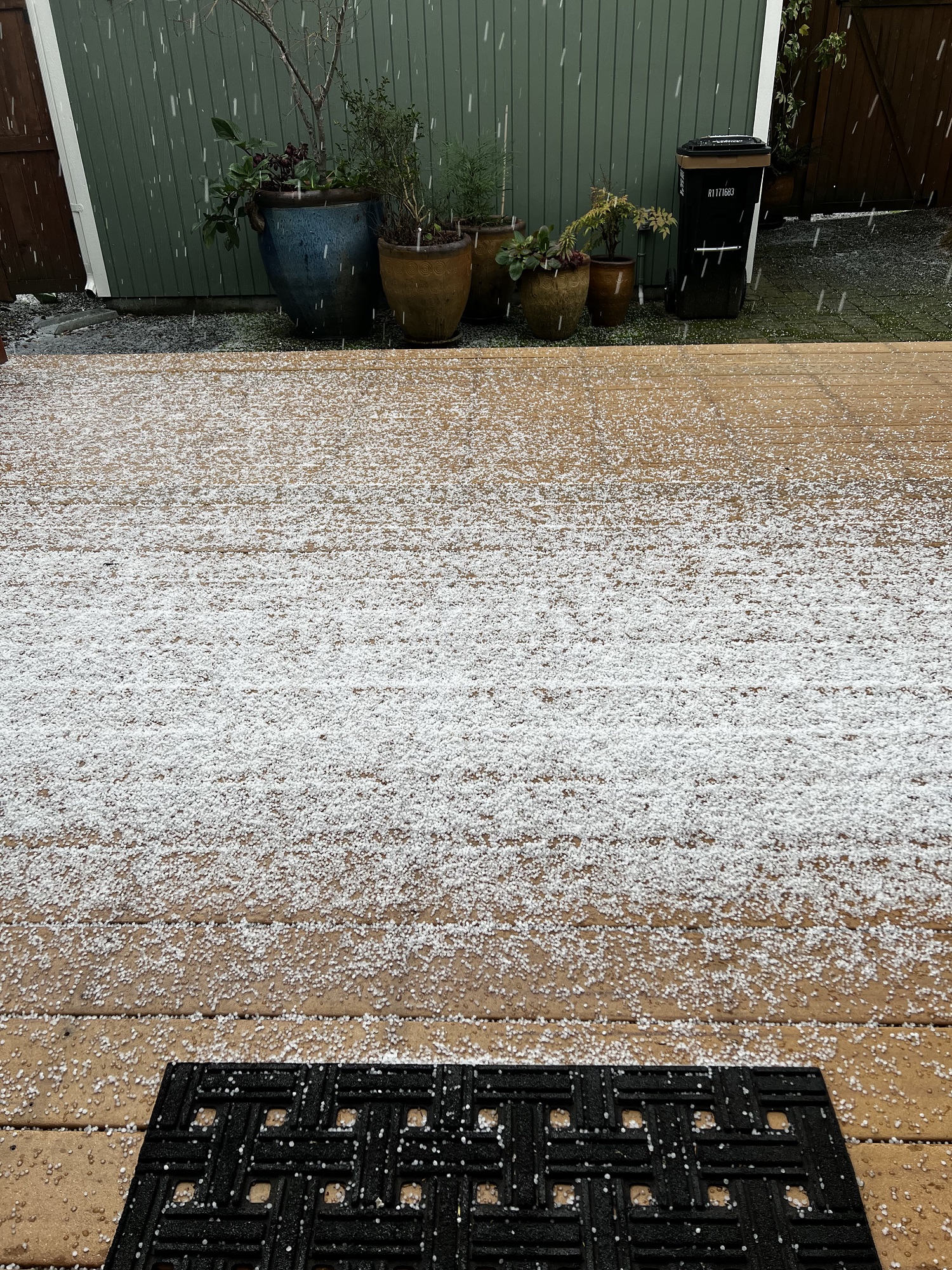
Here’s another gorgeous picture by Tim Durkan, of tonight’s hail storm. It was fine hail, but it went on for much longer than usual.
Photographer Tim Durkan says he sat in his car as he watched it come in from the north: from Edmonds, then over Discovery Park, and then over the city of Seattle.