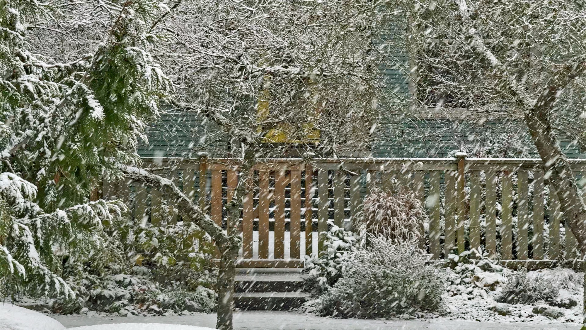
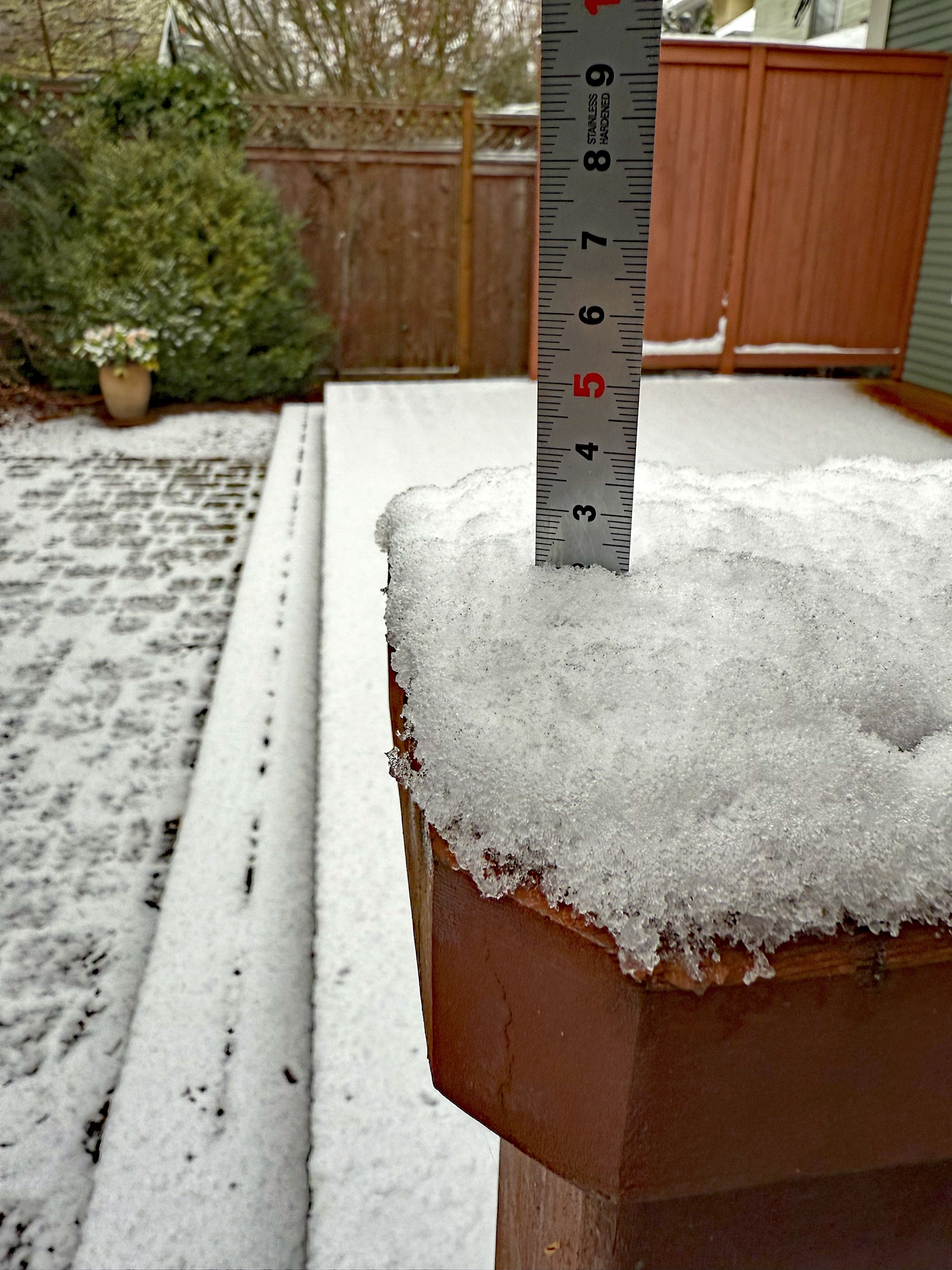
We had just under an inch of snow on the ground here in Capitol Hill today. There might be more snow tomorrow.
a weblog of whereabouts & interests, since 2010


There was rain last night and today, a welcome break in the dry weather of the last few weeks.
The snowpacks across Washington State are lagging from their normal levels, but there is still time to make up the deficit. The snowpacks on the mountains peak at around April 1.
Snowpacks (that melt during spring and summer) are a significant source of water for reservoirs around the state, for agriculture, and for hydroelectric power generation.


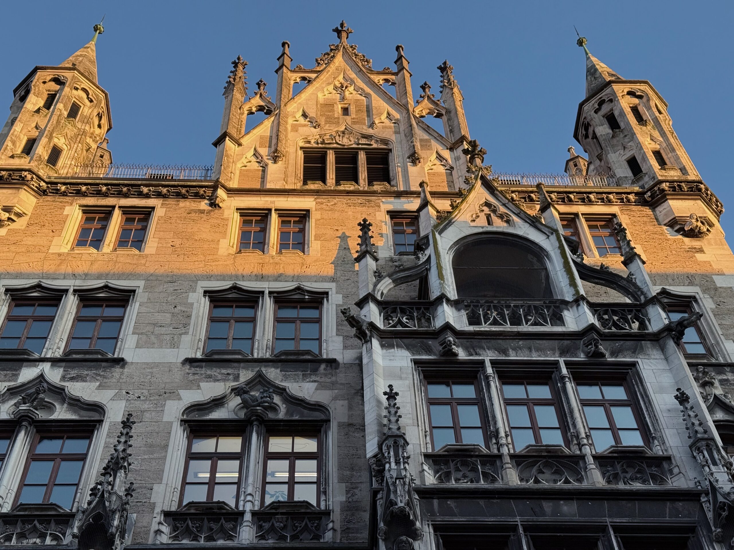
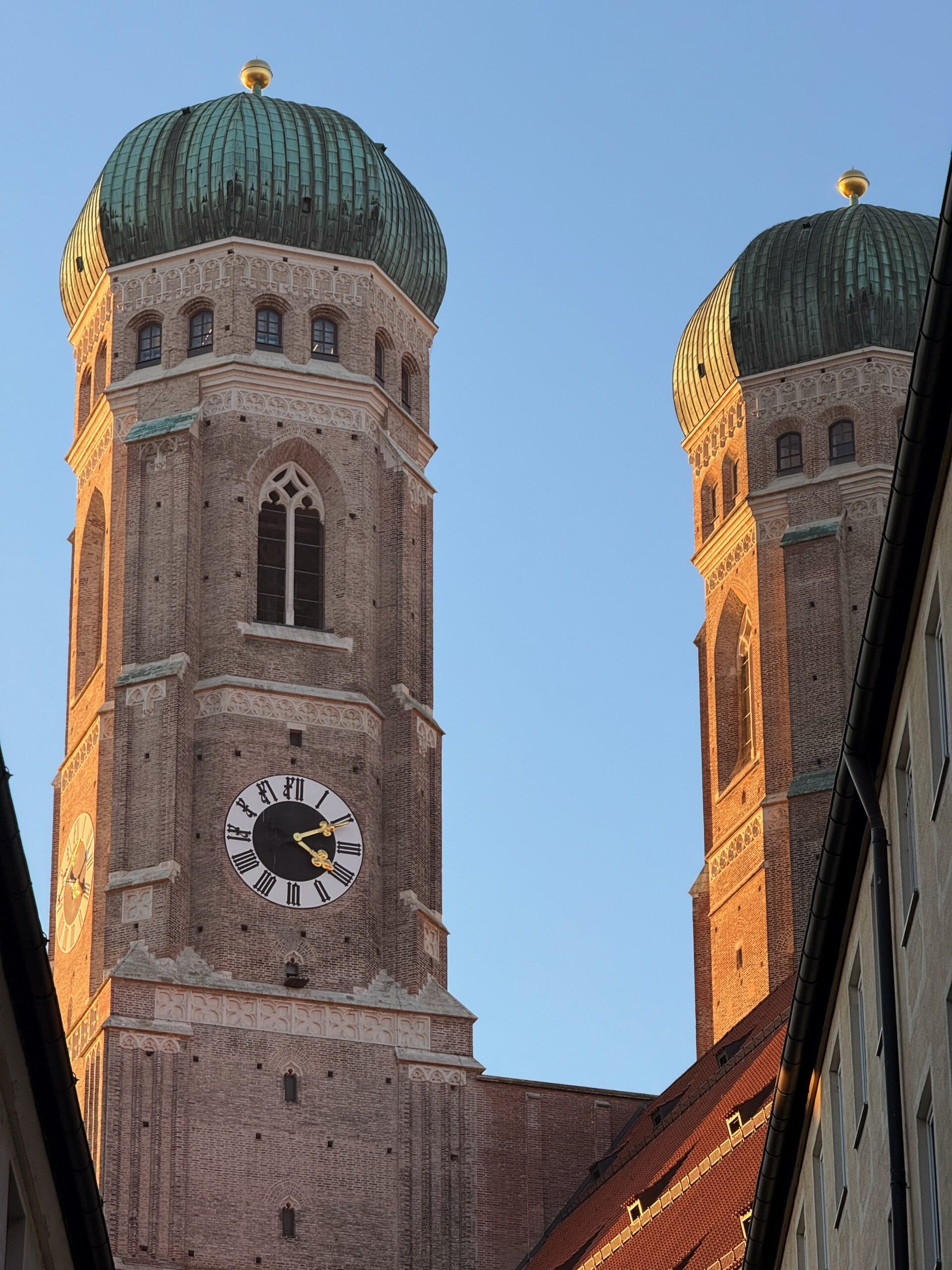
It started snowing at around 8 am this morning here in Munich, but it could not have been more than an inch an or so, from what I could tell.
I used the Line 19 streetcar again to get Hauptbahnhof (the main train station), and from there, ran out to Odeonsplatz and a comic book store on Fraunhoferstrasse.



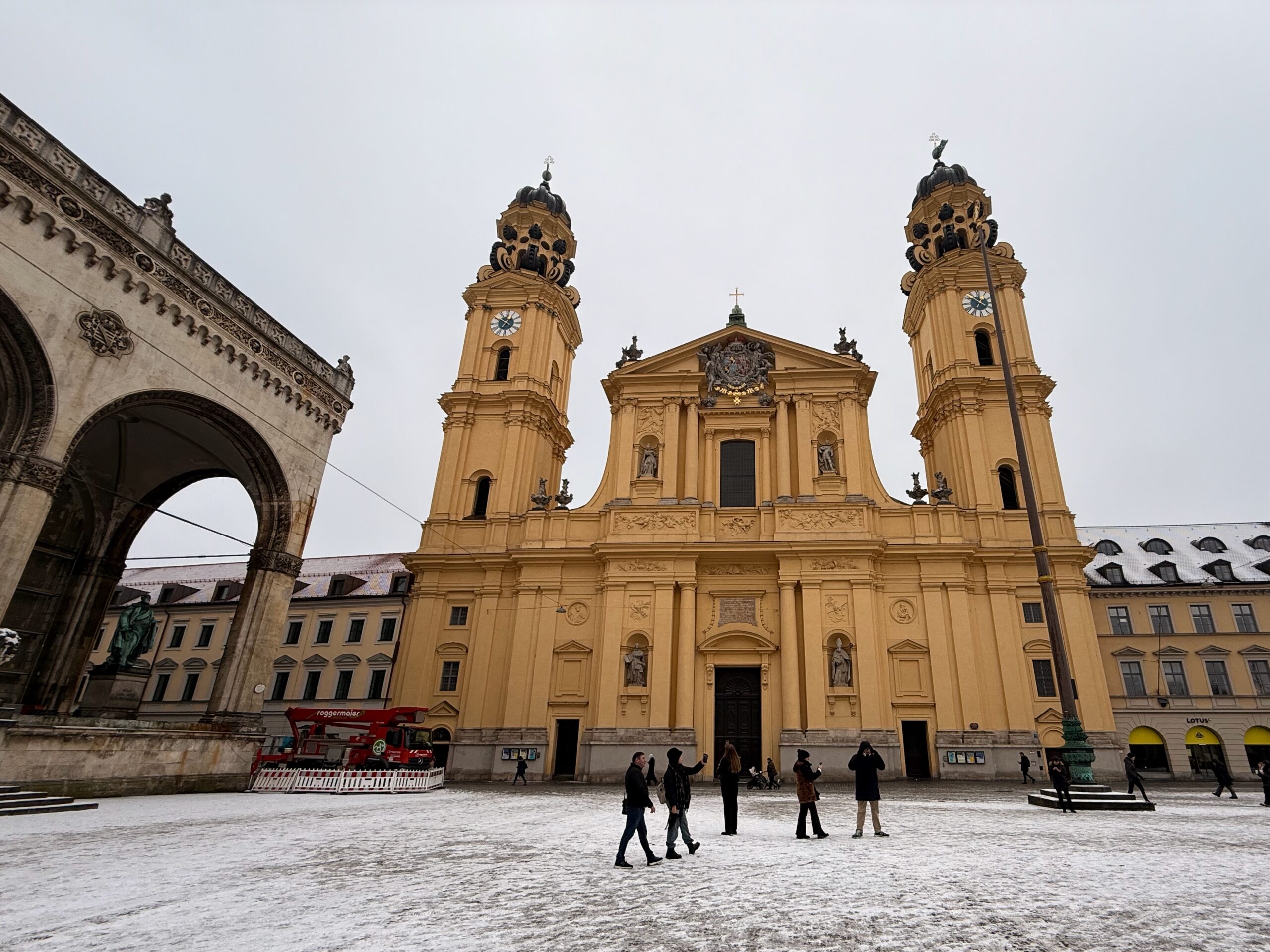






I put on full kit and kaboodle this morning, before venturing out in the frigid weather. I limited my excursions outside to Hauptbahnhof and Marienplatz.
(The day started at -7 °C and the high briefly reached 0°C.)

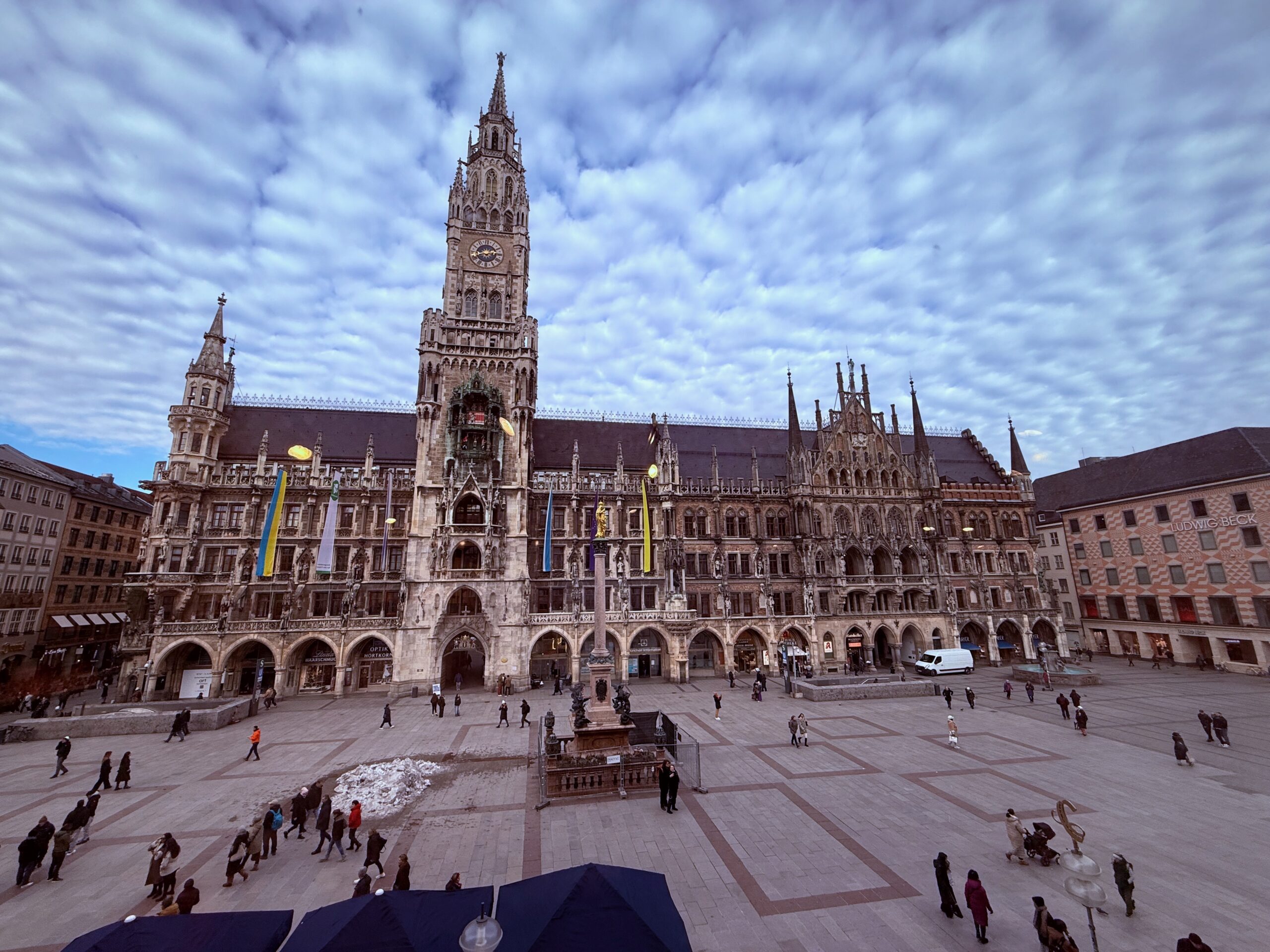
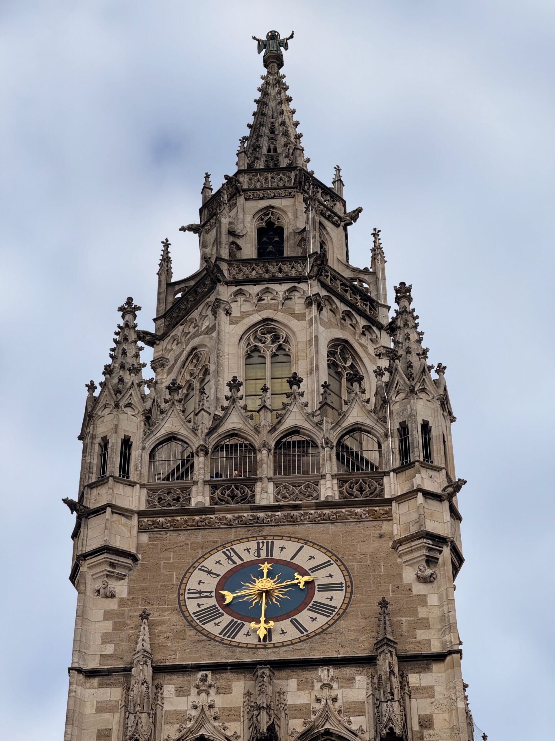
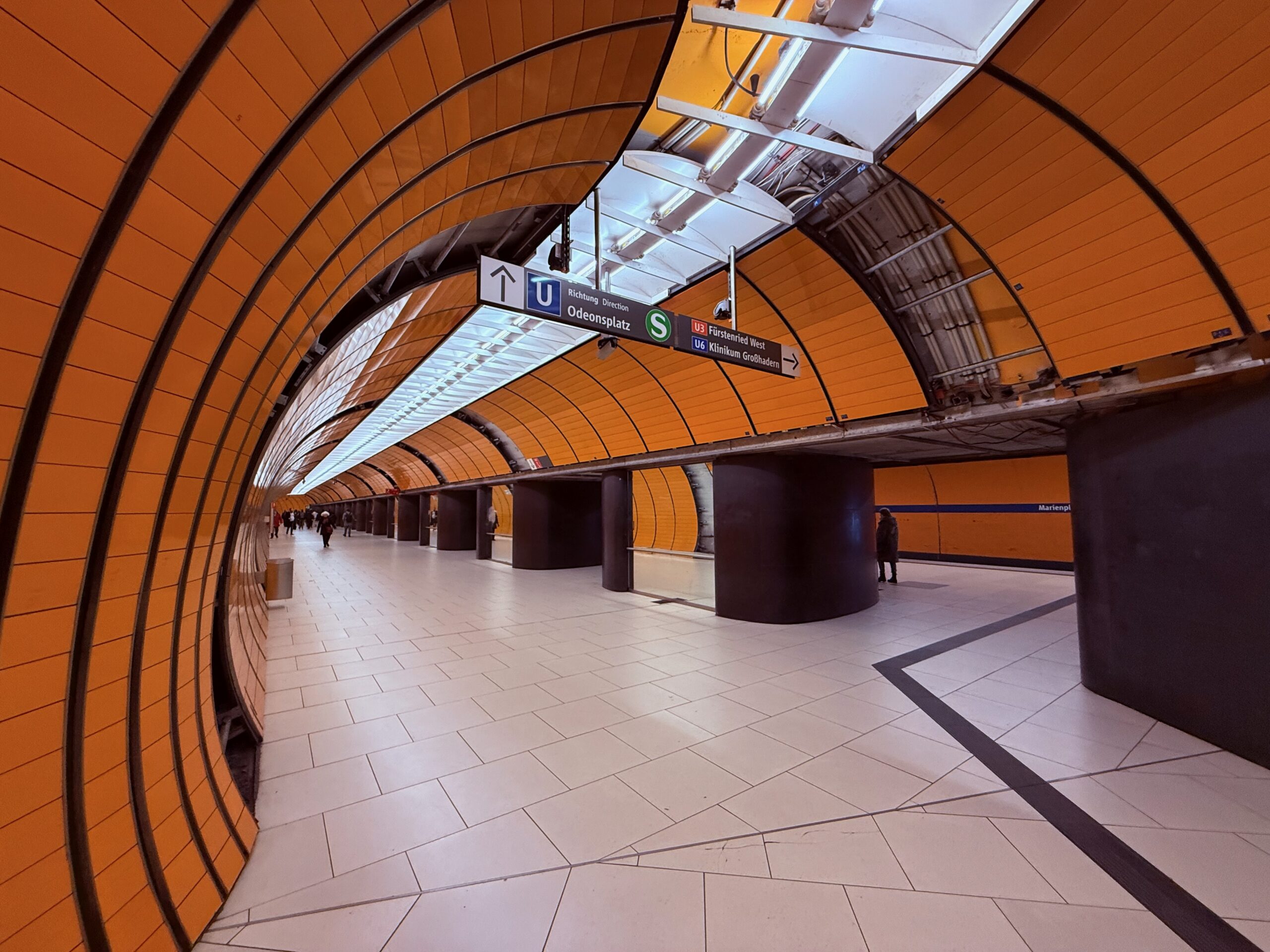




Happy Friday the Thirteenth.
It was rainy and dark all day outside (but not quite as dark as in the forest from The Nutcracker in the picture below).


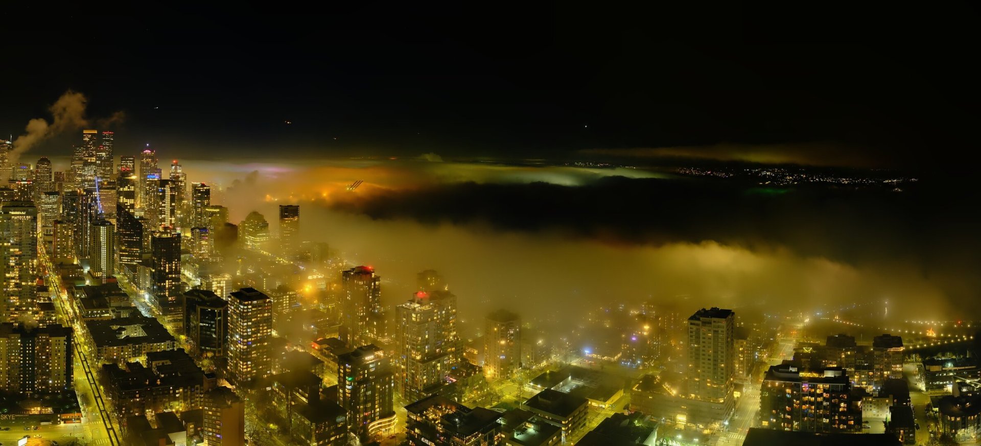
It has been foggy at night and into the early morning— and cold outside— the whole week, with a high of only 42°F (5°C) yesterday.
It is clearer outside tonight, and there will be rain tomorrow.

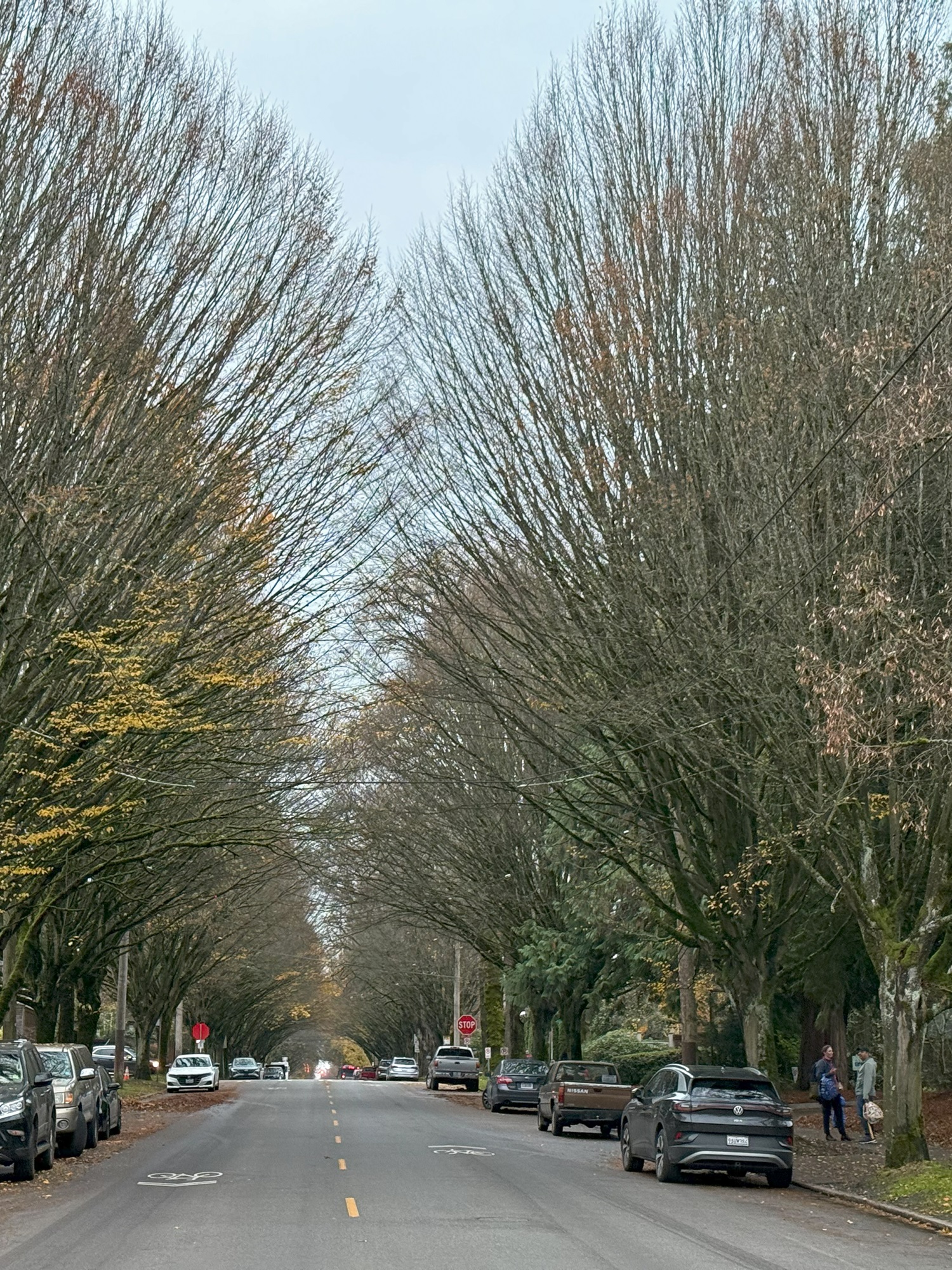
The rainy weather has stopped, and the forecast for the next week or so can be described as ‘morning fog, and partly sunny the rest of the day’.
The lows will be mid- to high 30s (3 °C) and the highs 46°F (8 °C) or so.

The amigos played pickleball inside at the Sandman’s Courts in Columbia City today.
There was sun outside, but the high was only 55°F (13°C).


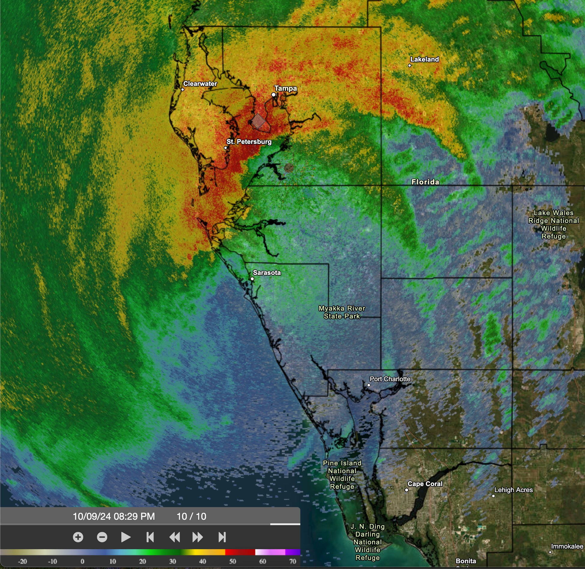
Landfall was to the south of Tampa and St. Petersburg, sparing those areas a large storm surge out of Tampa Bay.
That is not to say there is not a lot of water there. Some areas around St. Petersburg received more than 16″ of rain in the last 24 hours.
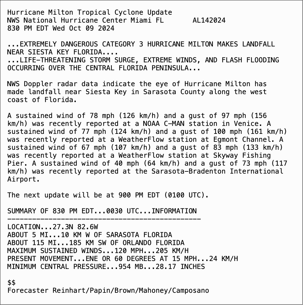

Tensions are running high in Florida. Emergencies have been declared, with evacuation orders, in dozens of Florida counties.
There are reports of clogged highways and interstates, and many gas stations running out of gas, as drivers make their way out of the storm’s path.
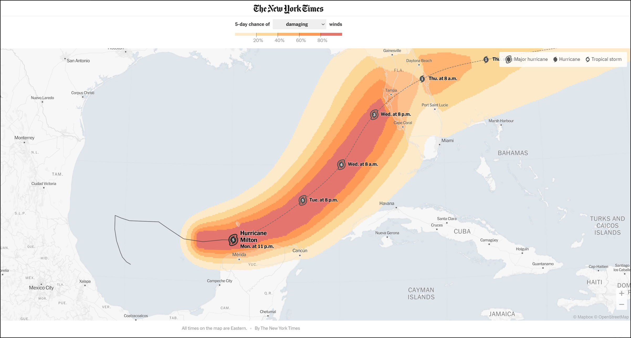
Jason Samenow of the Washington Post explains below why it matters exactly where near Tampa, the hurricane makes landfall (projected to be very late on Wednesday night, or early Thursday morning).

Milton was a Category 5 hurricane in the Gulf of Mexico late Monday Eastern time.
Right now the models predict that it will make landfall near Saint Petersburg and Tampa, Florida, on Wednesday night.

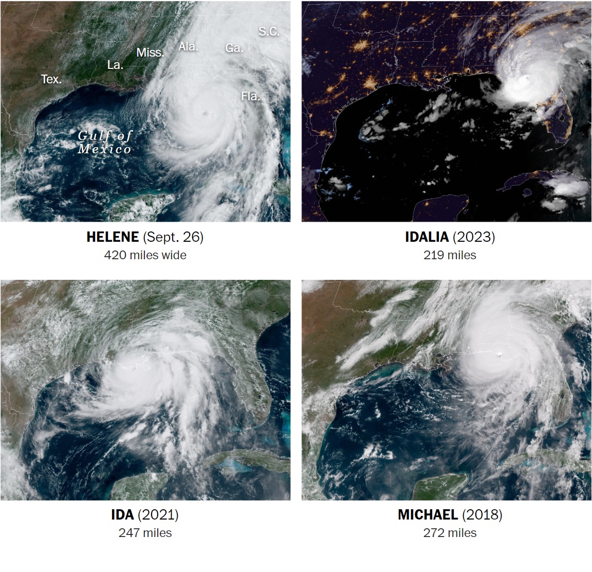
Hurricane Helene is one of the biggest storms on record to strike the Gulf Coast. A few hours before making landfall, Helene had winds of at least tropical storm force, a sustained 39 mph or greater, across some 420 miles.
According to an analysis by Colorado State University hurricane scientist Phil Klotzbach, Helene is larger than all but two gulf storms since 1988: Opal, a Category 3 storm that made landfall on the Florida Panhandle in October 1995, and Irma, a Category 4 storm that struck South Florida in September 2017.
When a storm is so large, it means more people are exposed to its hazards, which extend hundreds of miles away from the point of landfall.
– From reporting by Scott Dance, Simon Ducroquet and John Muyskens in The Washington Post


We’re going to warm up to 88°F (31°C) tomorrow here in Seattle: warm for late summer.
Our summer temperatures are nothing compared to a place such as Phoenix, Arizona, of course.
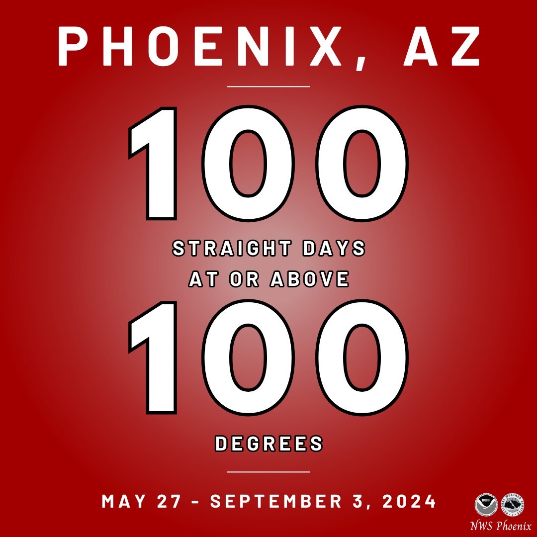
At 11 a.m. local time this morning, temperatures in Phoenix hit 100° F (38°C) for the 100th day in a row. The longest previous 100-degree streak was 76 days in 1993.

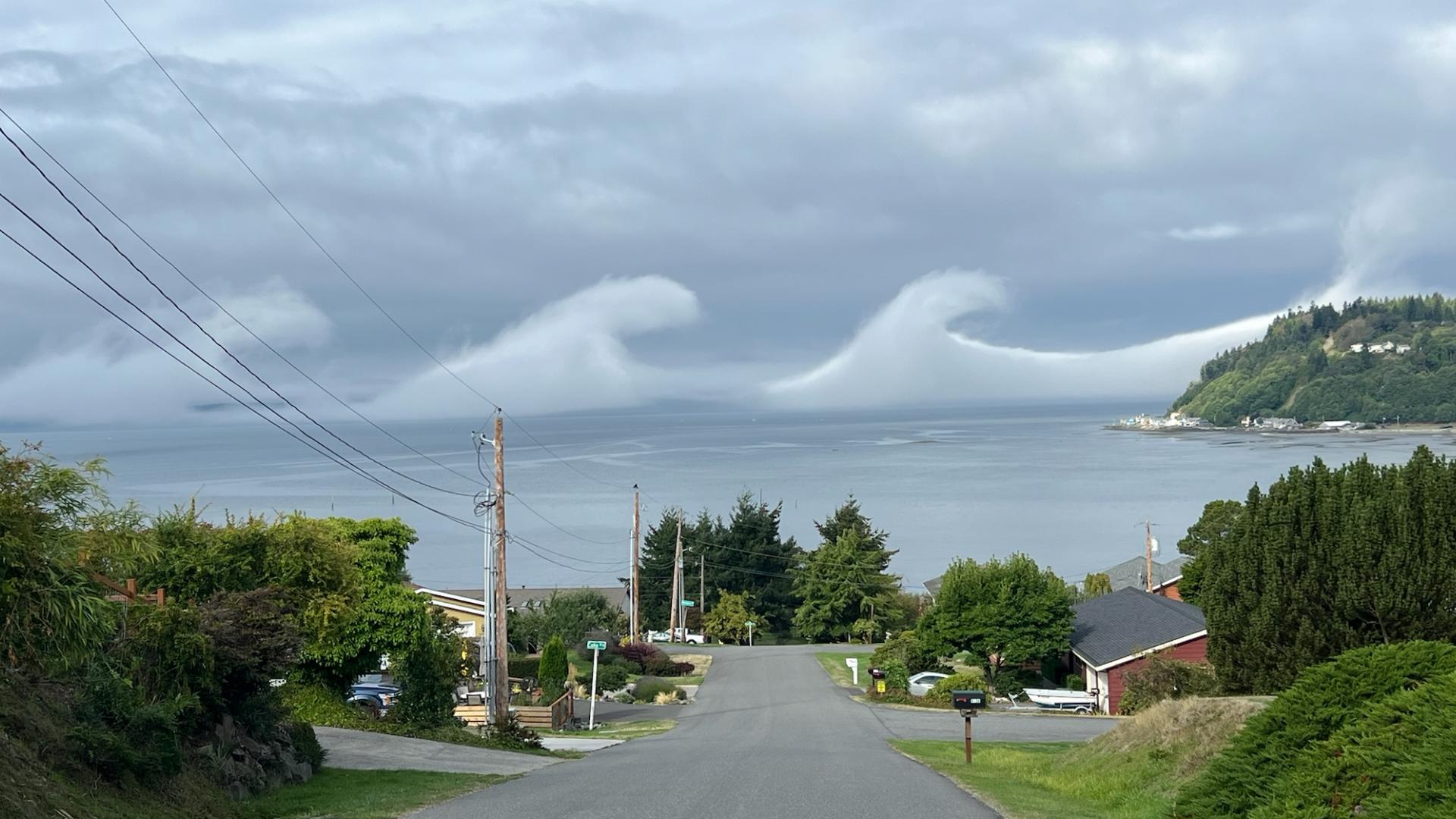
WHIDBEY ISLAND STATION, Wash. — Residents of and near Whidbey Island witnessed a weather phenomenon on Tuesday as “wave clouds” lined the horizon.
Kelvin-Helmholtz clouds or fluctus clouds, as the formations are named, are very rare over Washington, according to KING 5 Chief Meteorologist Mike Everett.
The clouds look like literal waves in the sky, a series of rounded crests that are worthy of a double-take.
Often referred to as “wave clouds,” the clouds signal a difference in wind speed and density between two layers.
– Reported by Olivia Sullivan for king5.com
