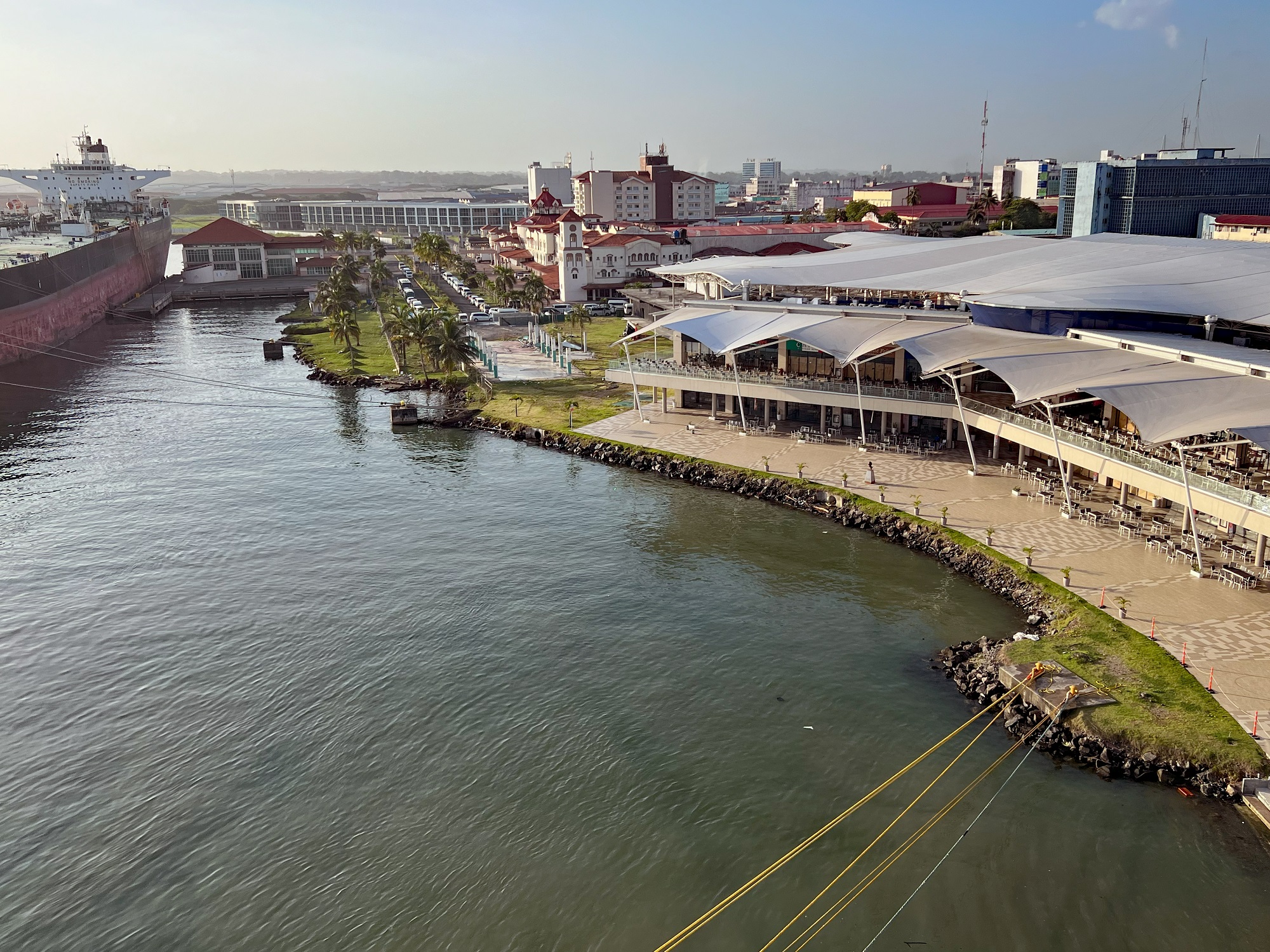
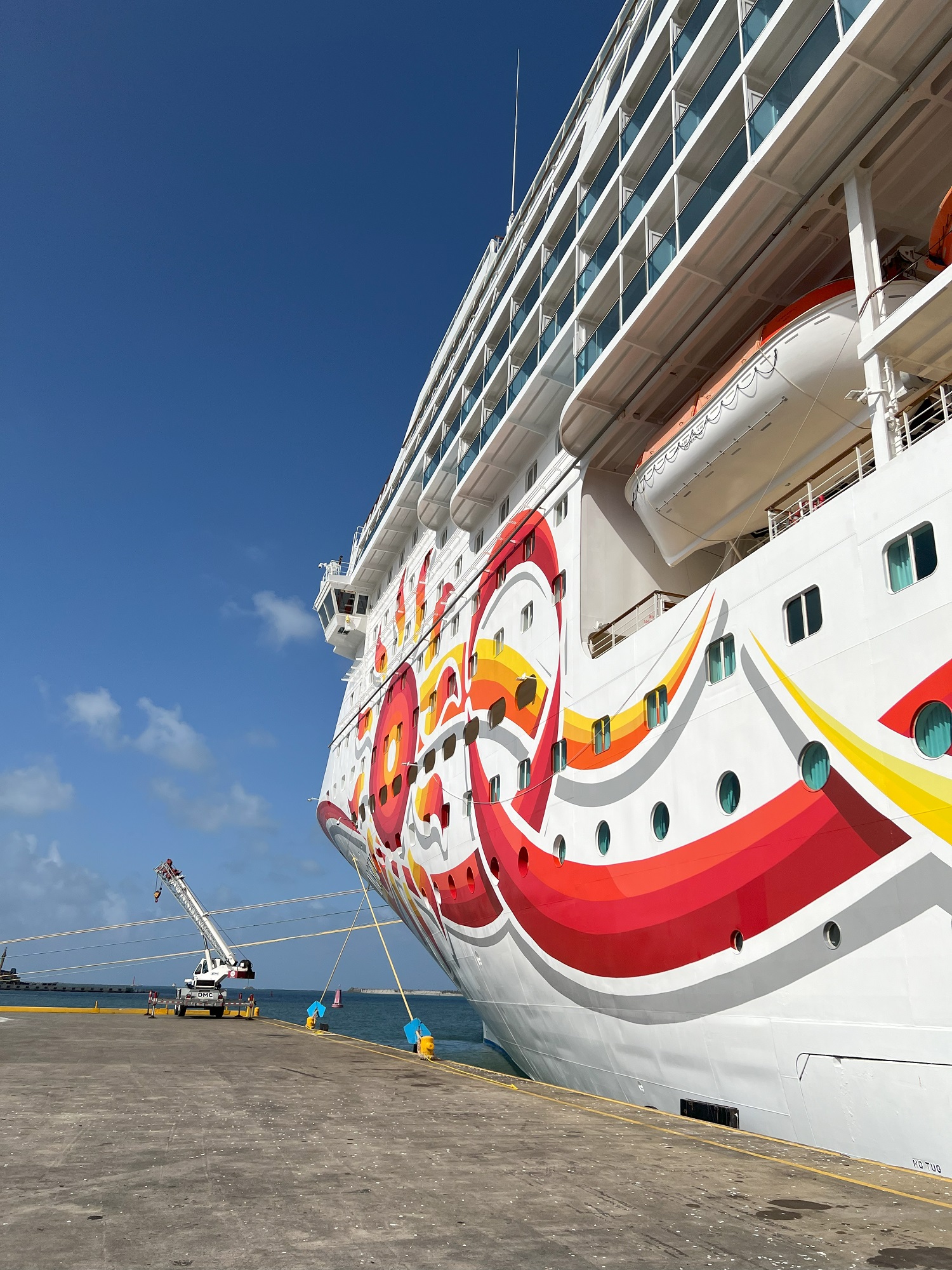
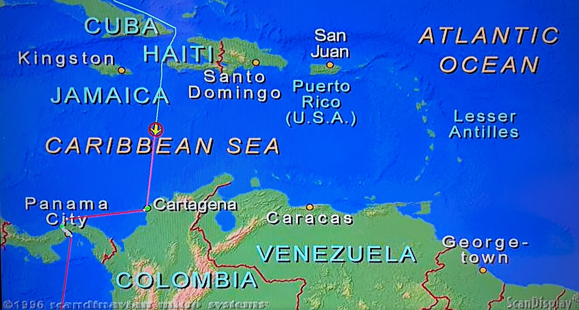
We reached the seaport of Cólon early this morning. Cólon is at the northern end of the Panama Canal.
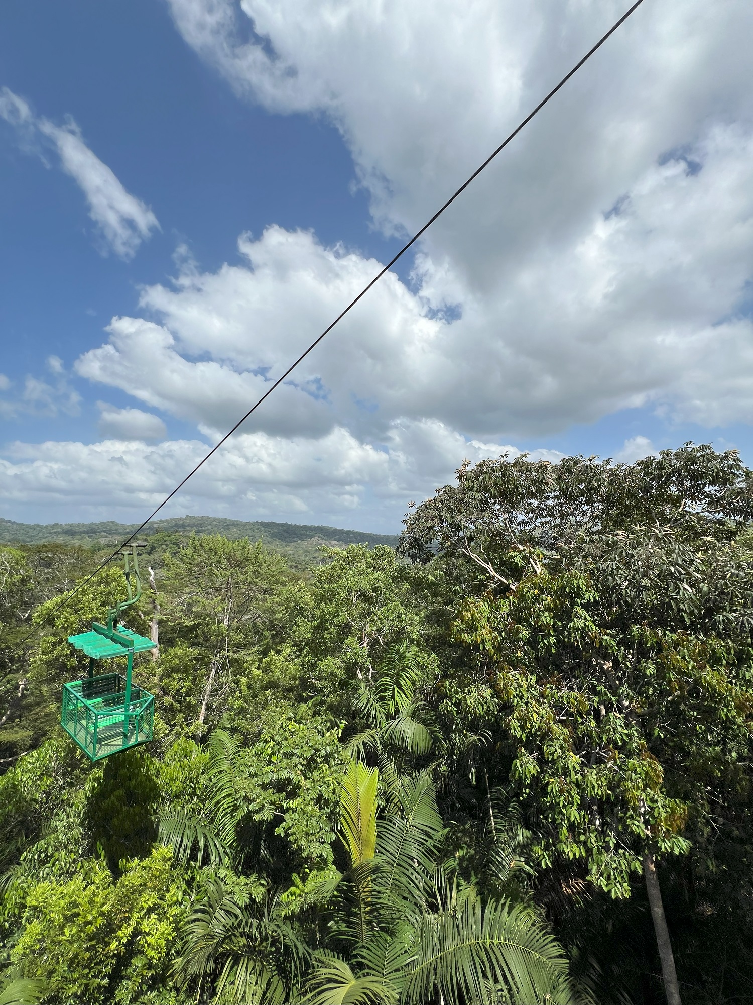
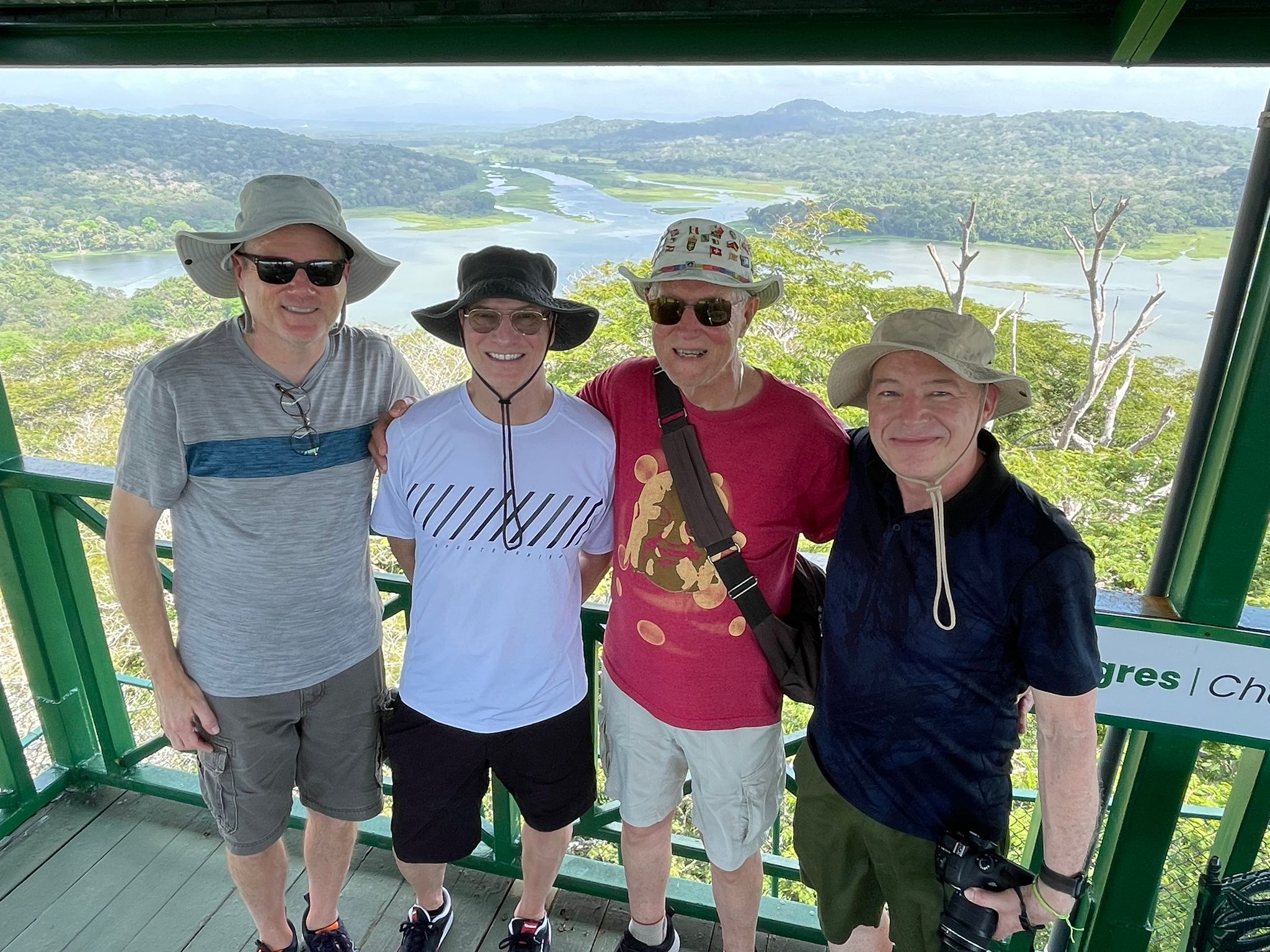
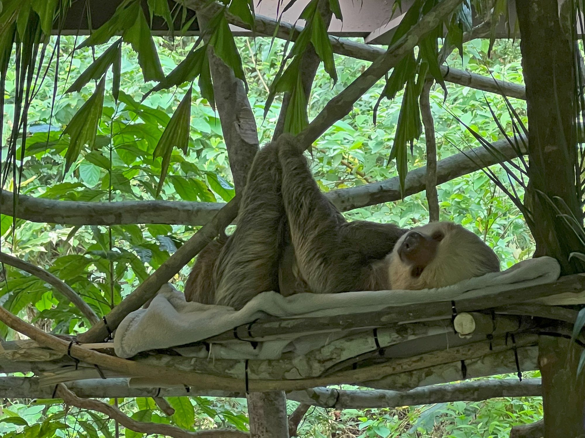
After breakfast, we went on our excursion for the day: an aerial tramway tour through the Gamboan forest canopy.
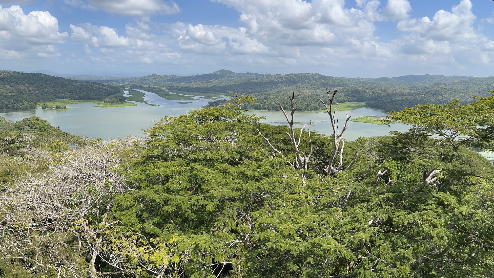
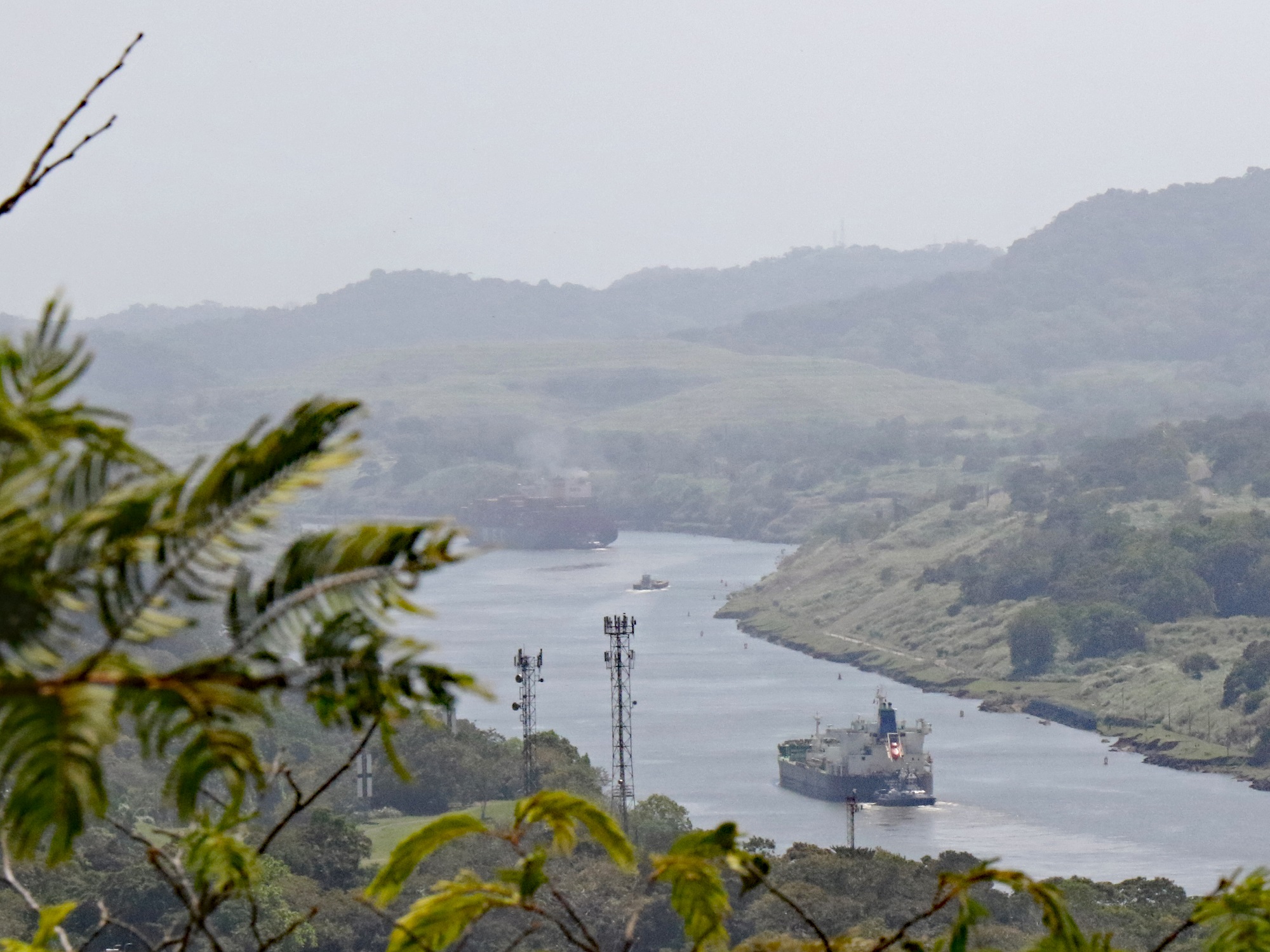
At the top of the tramway― called Cerro Pelado― there is an observation tower with panoramic views of Soberania National Park, the Chagres River and the Panama Canal.
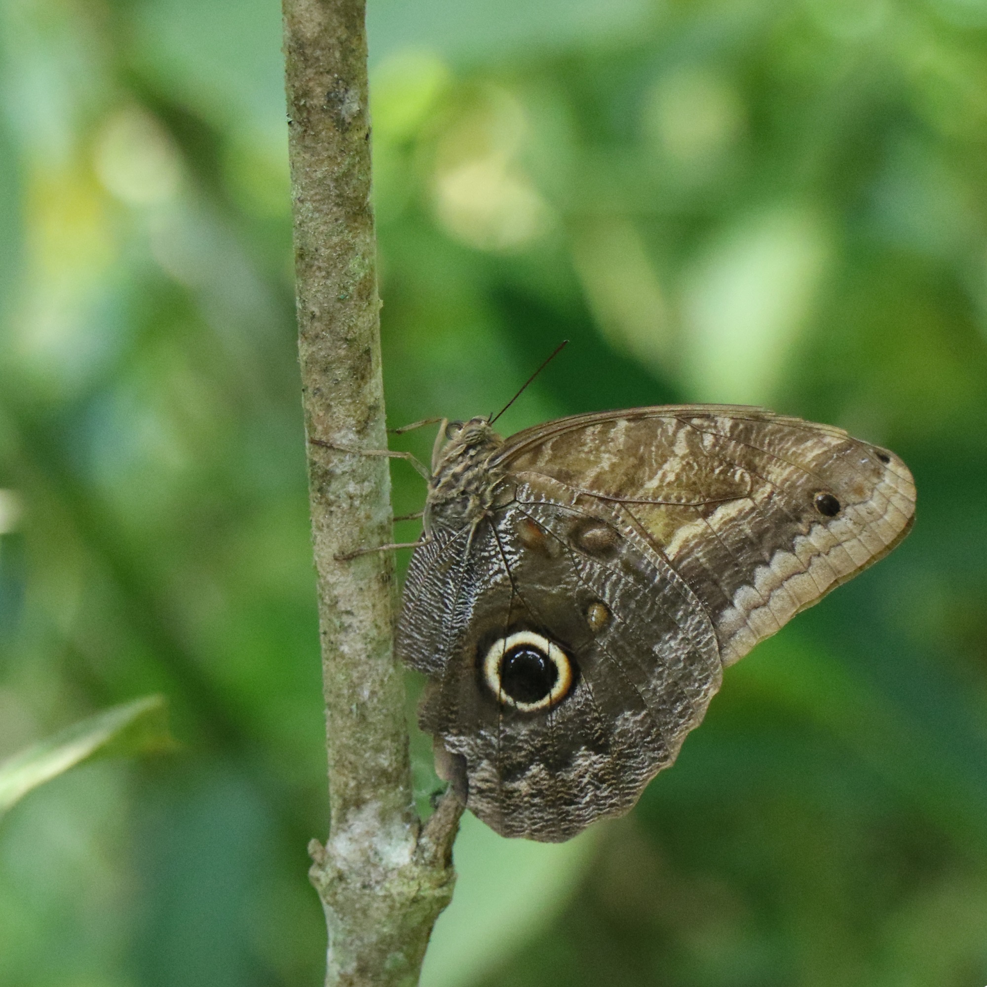
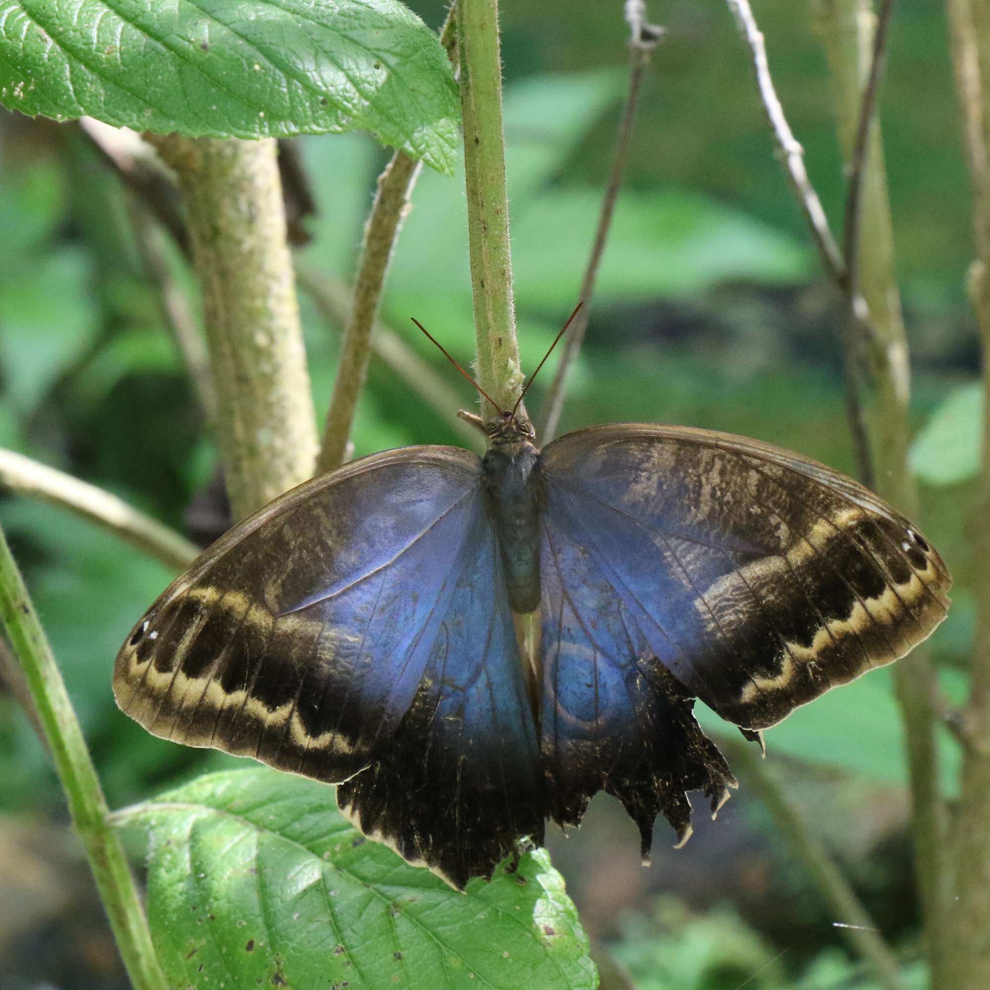
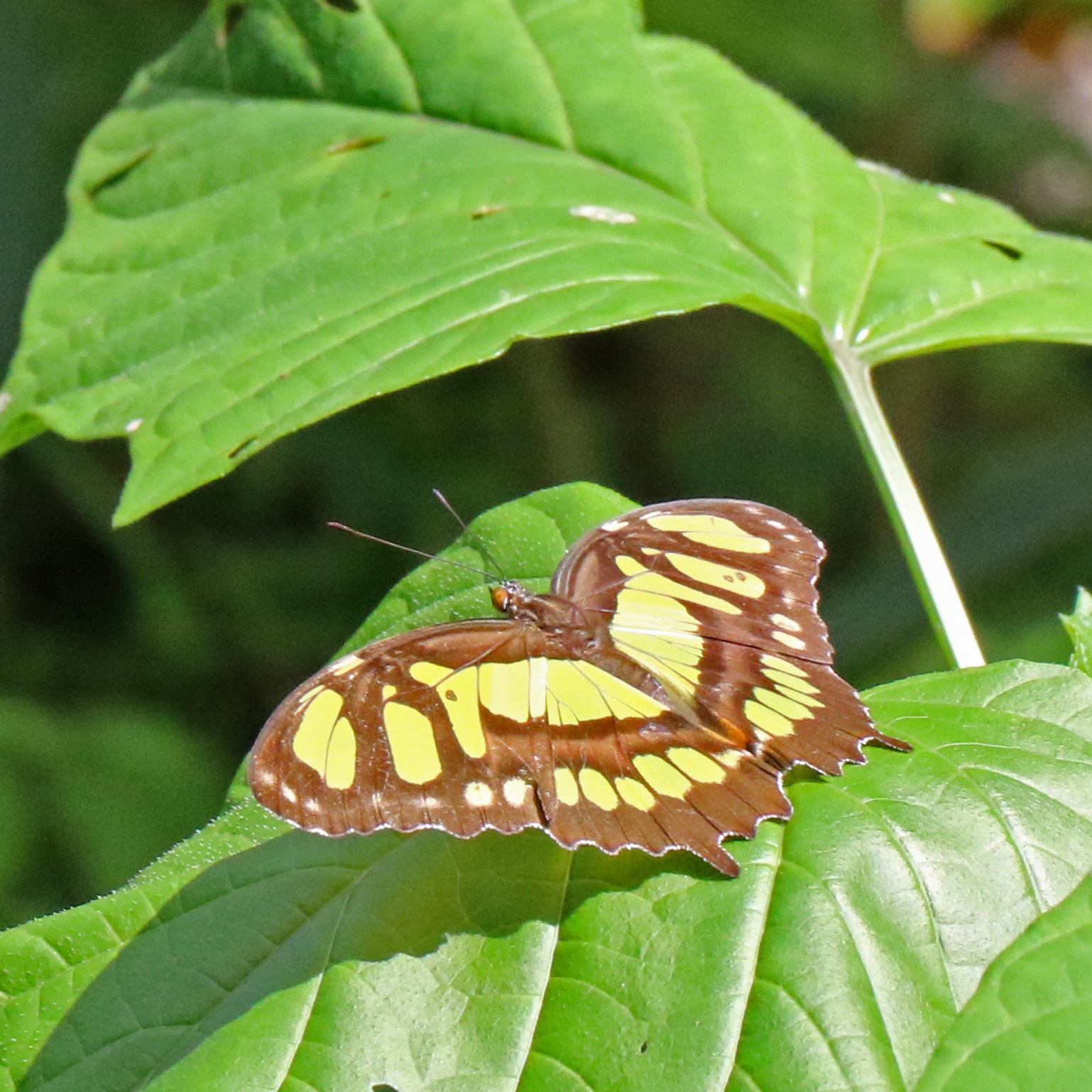
Our tour included stops at a sloth sanctuary, an orchid house and a butterfly enclosure.
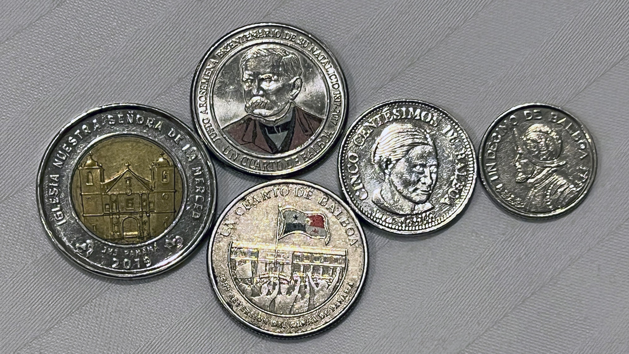
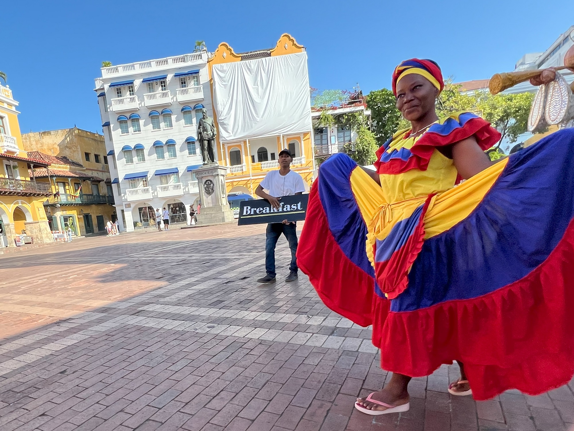
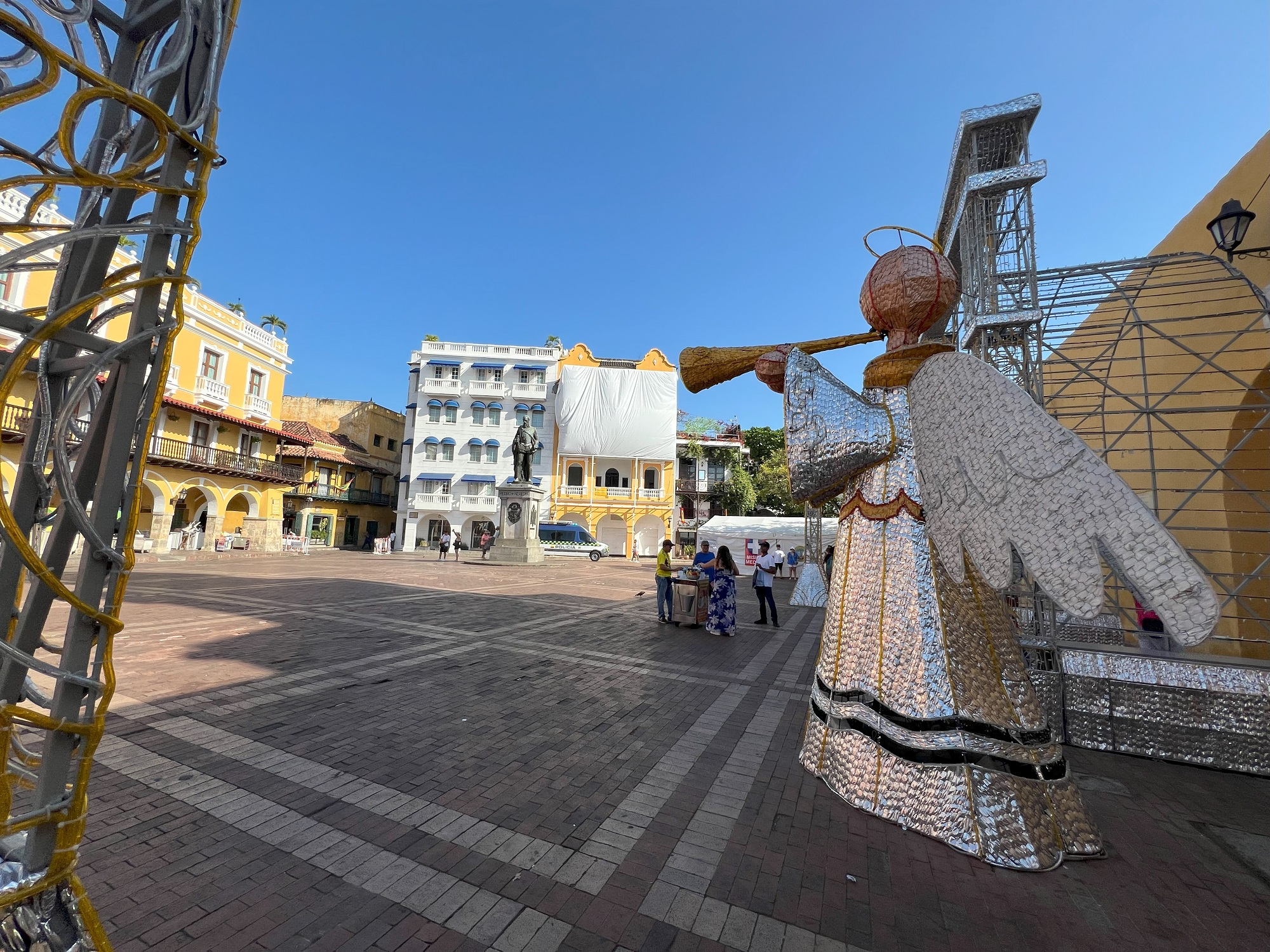
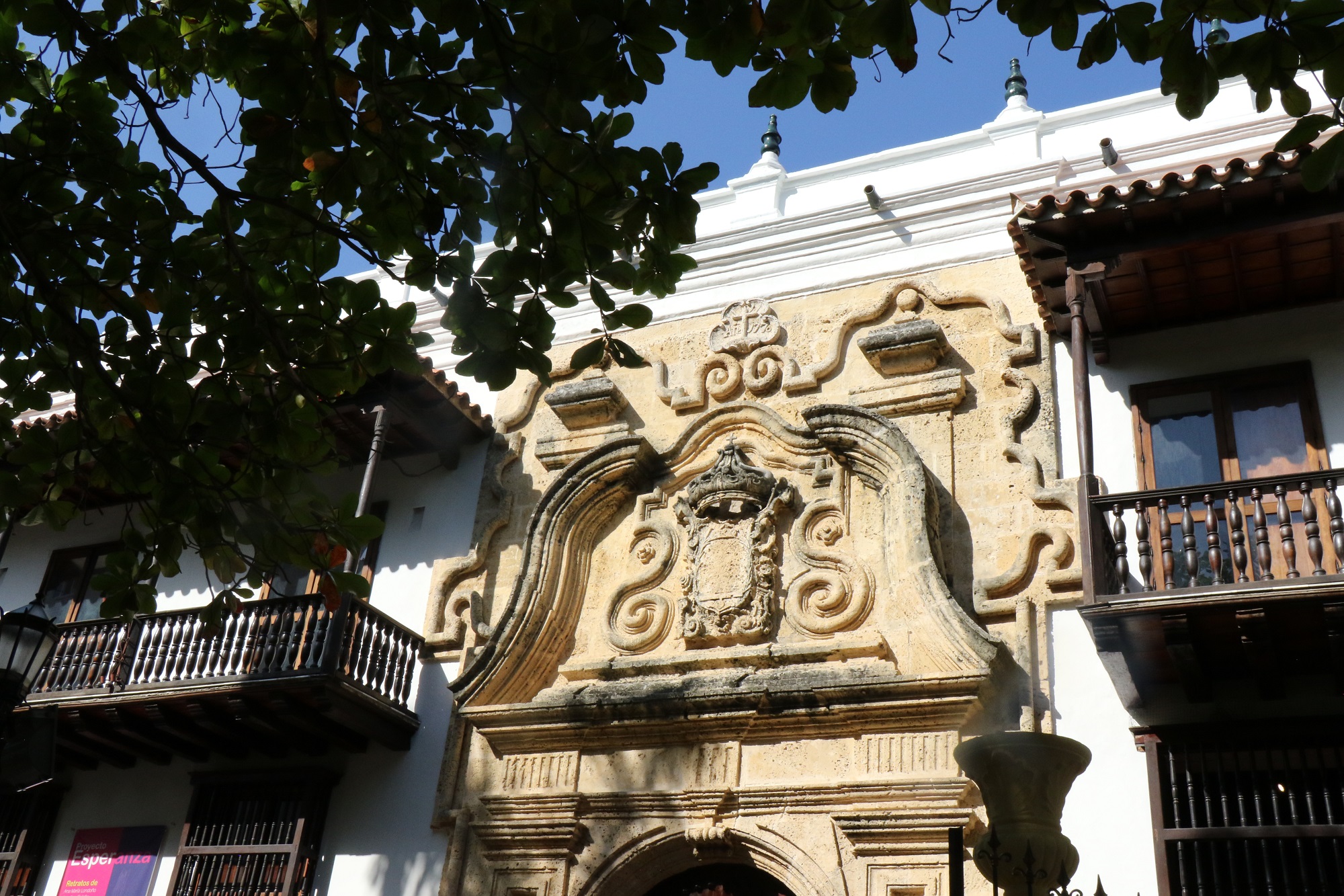
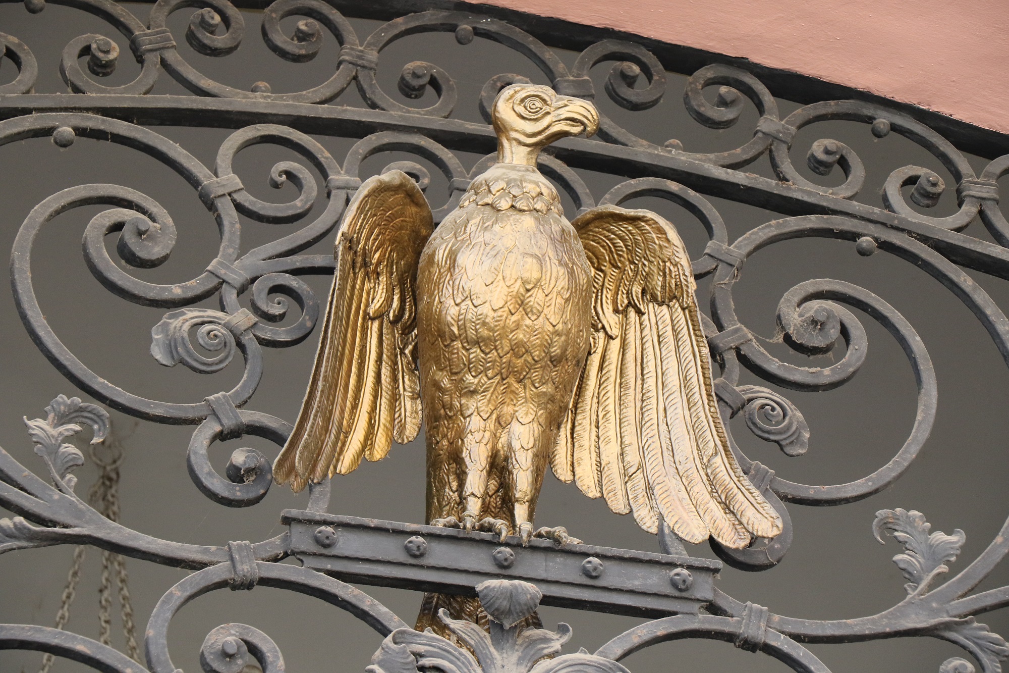
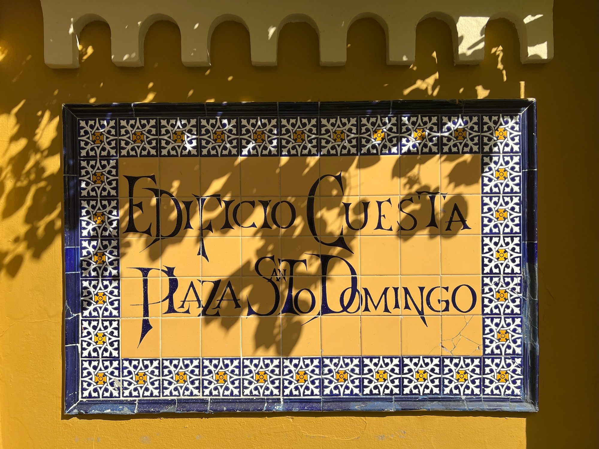
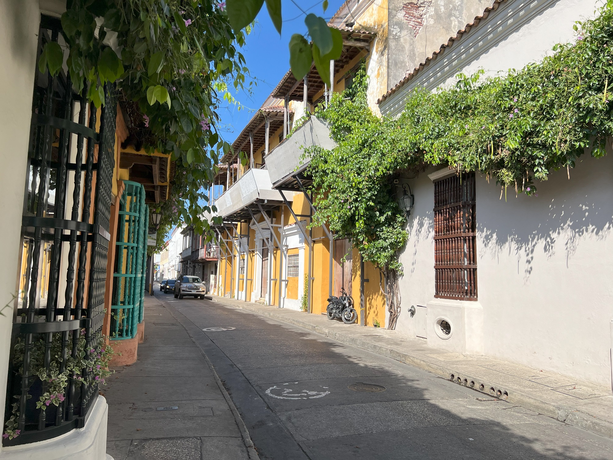
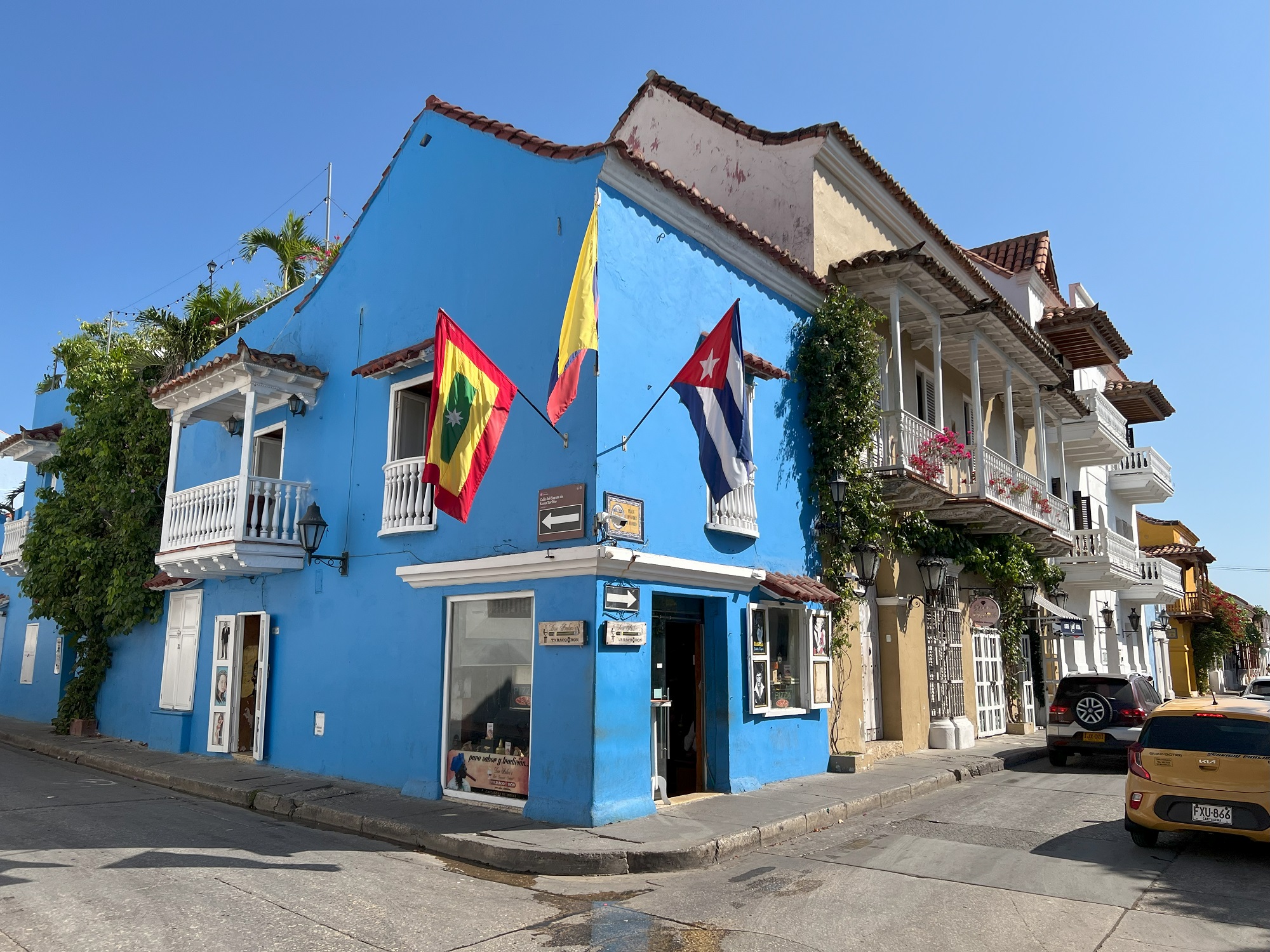
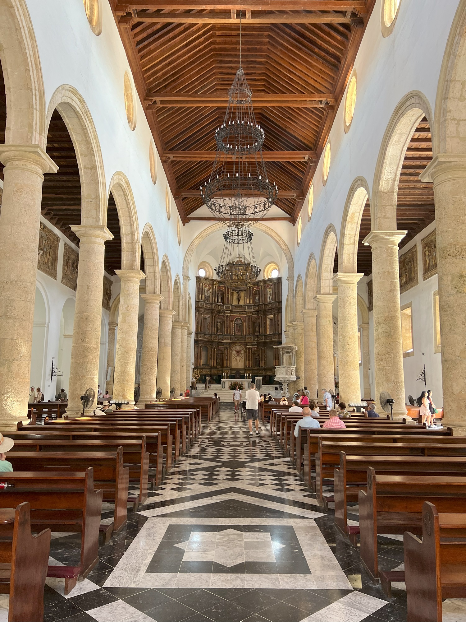
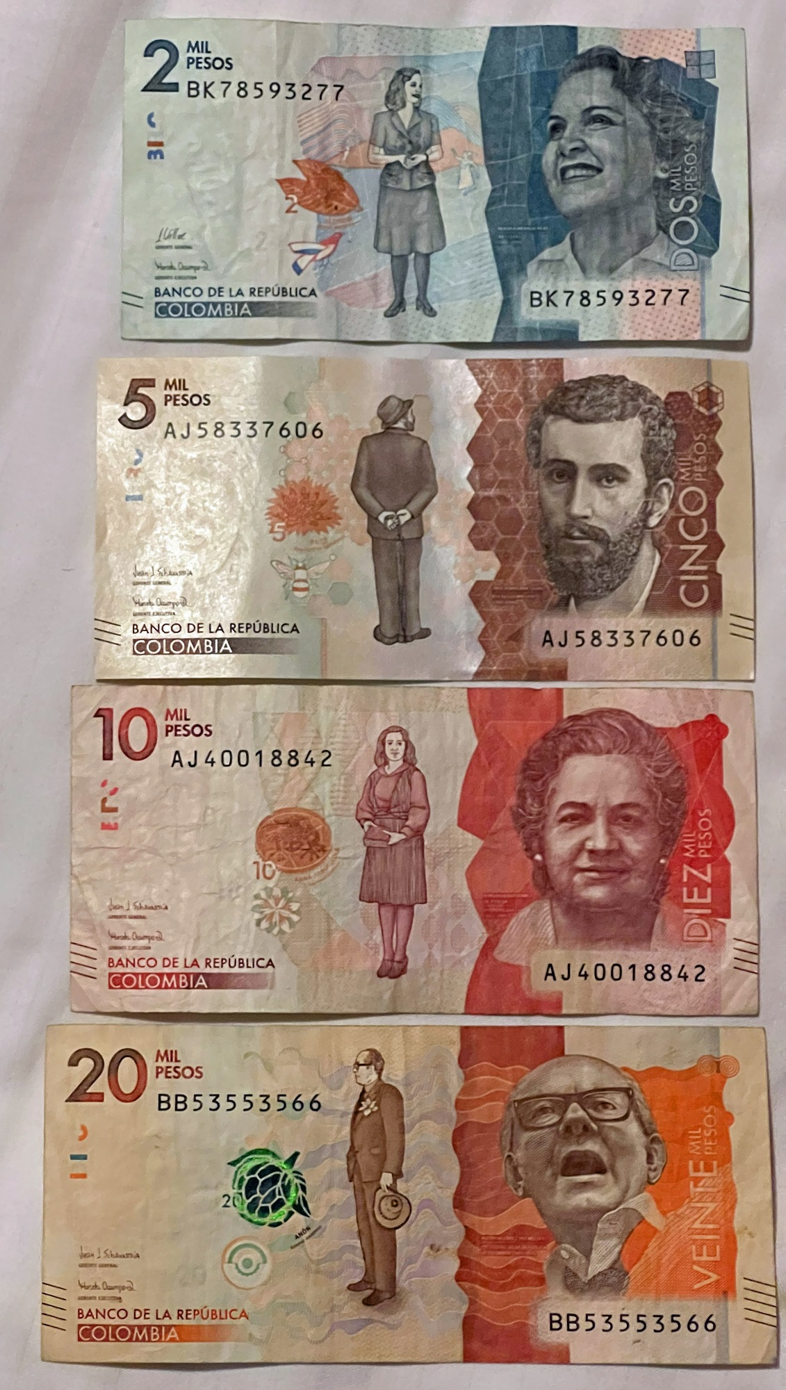
Cartagena (pop. 914,500 in 2020) is a port city on Colombia’s Caribbean coast. By the sea is the walled Old Town, founded in the 16th century, with squares, cobblestone streets and colorful colonial buildings. With a tropical climate, the city is also a popular beach destination.
– Google
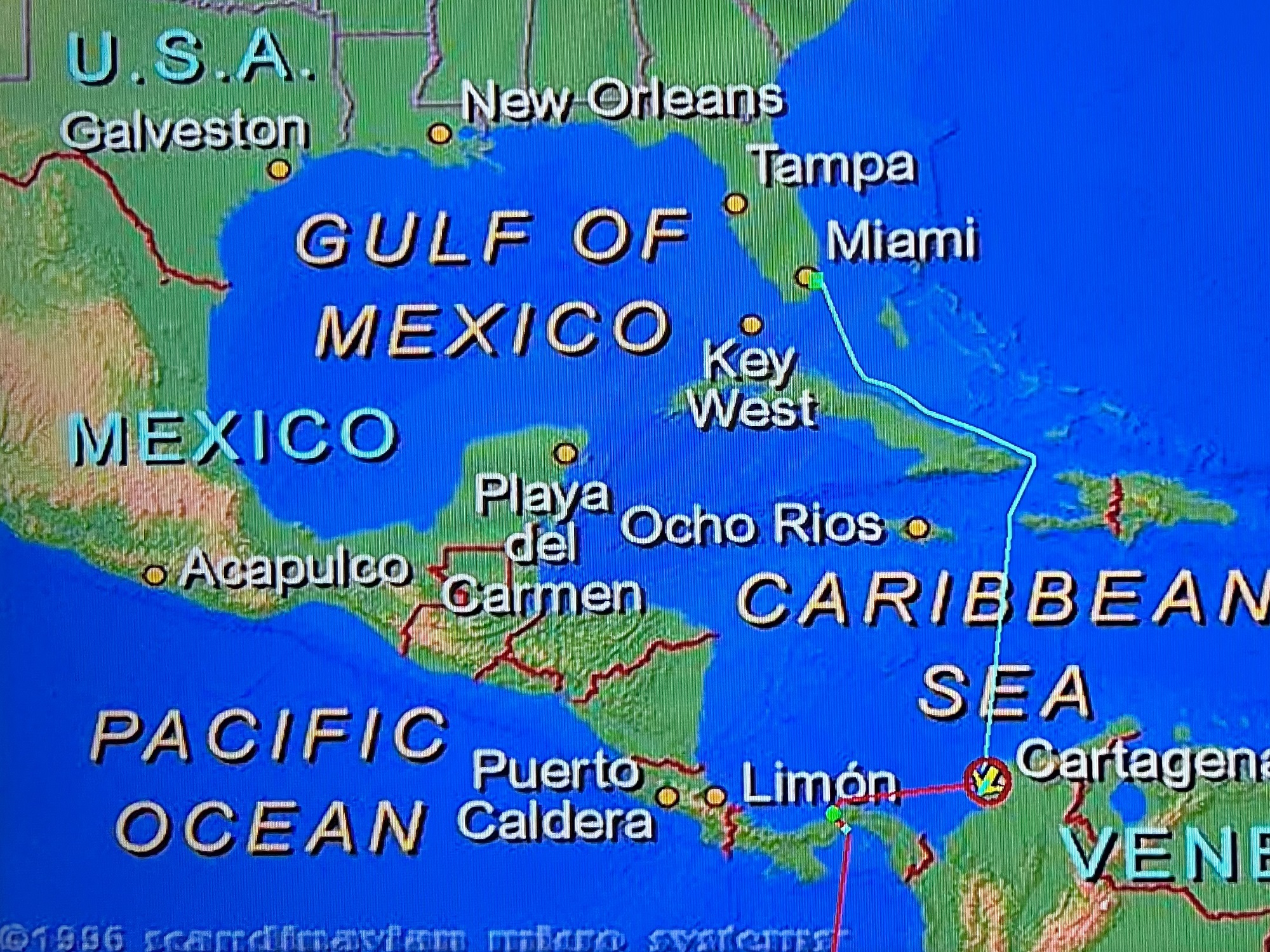
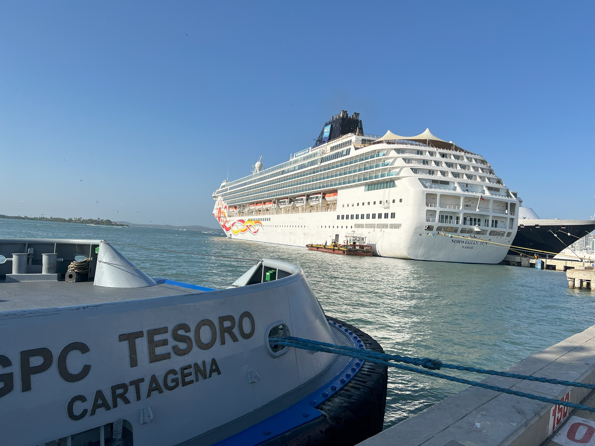
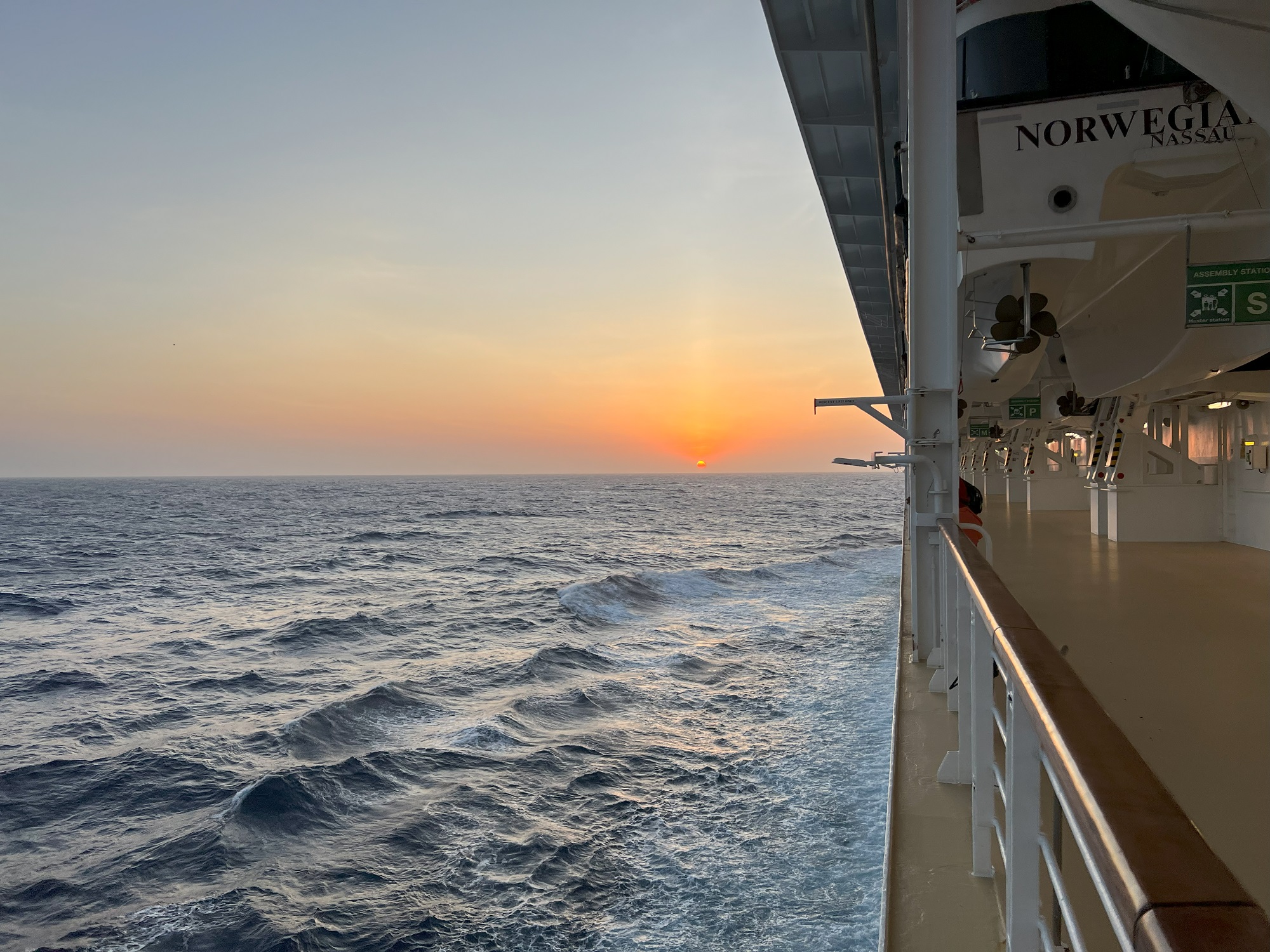
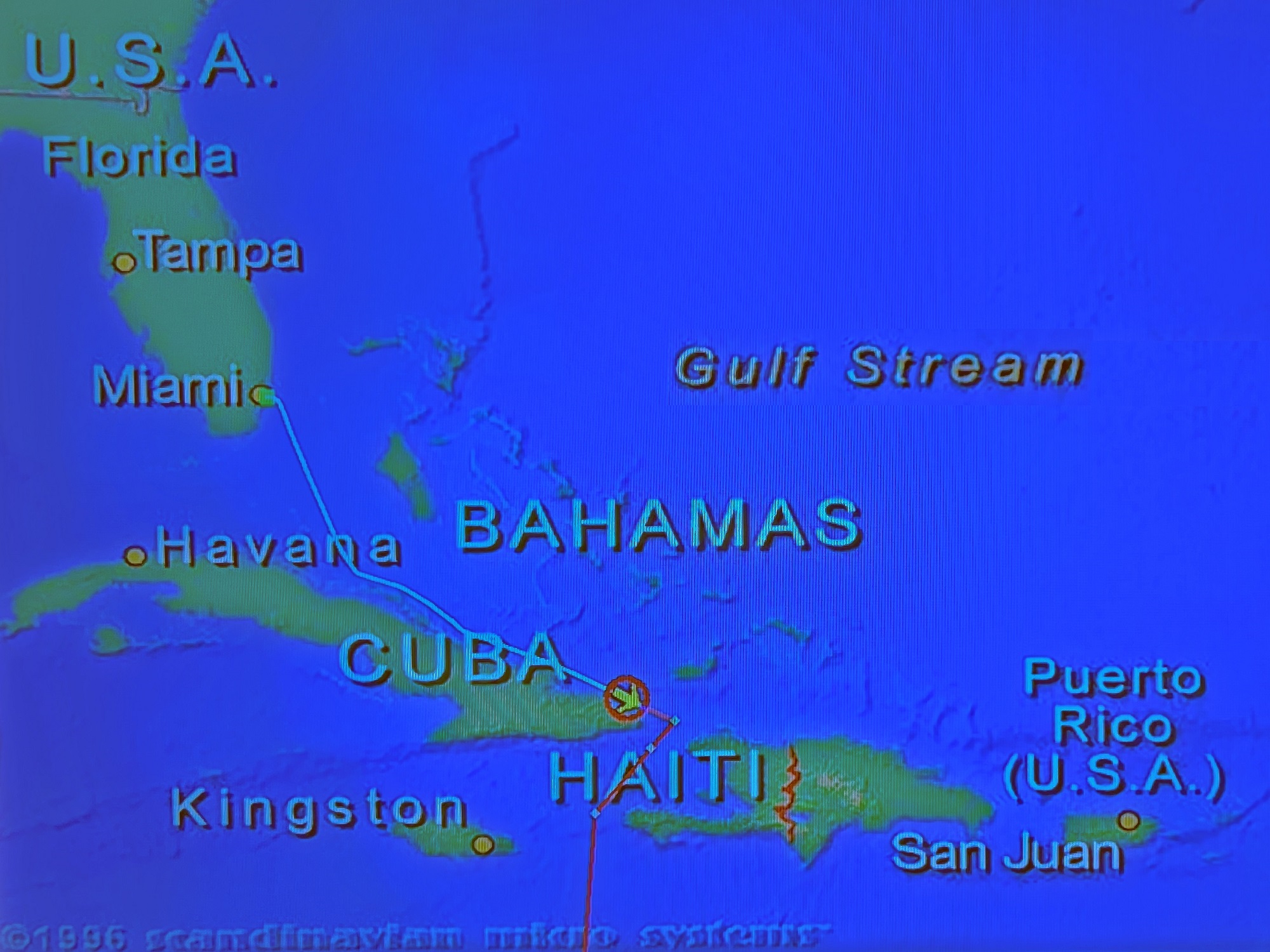
Late Monday afternoon we left Cartagena and sailed almost due west, towards Colon at the northern end of the Panama Canal.
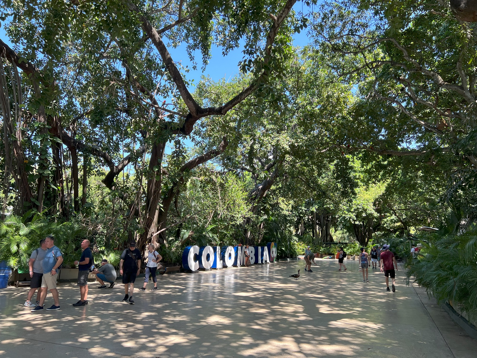
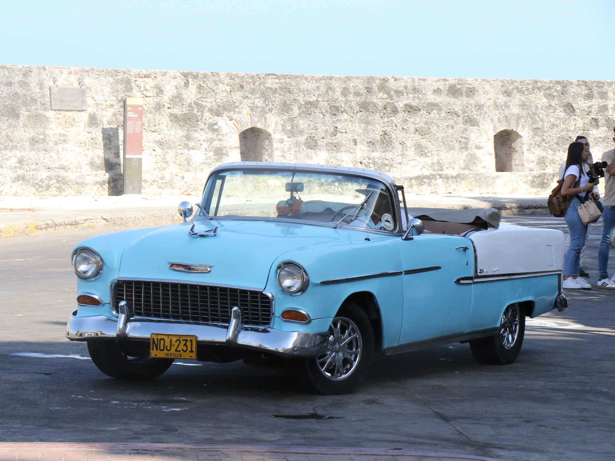
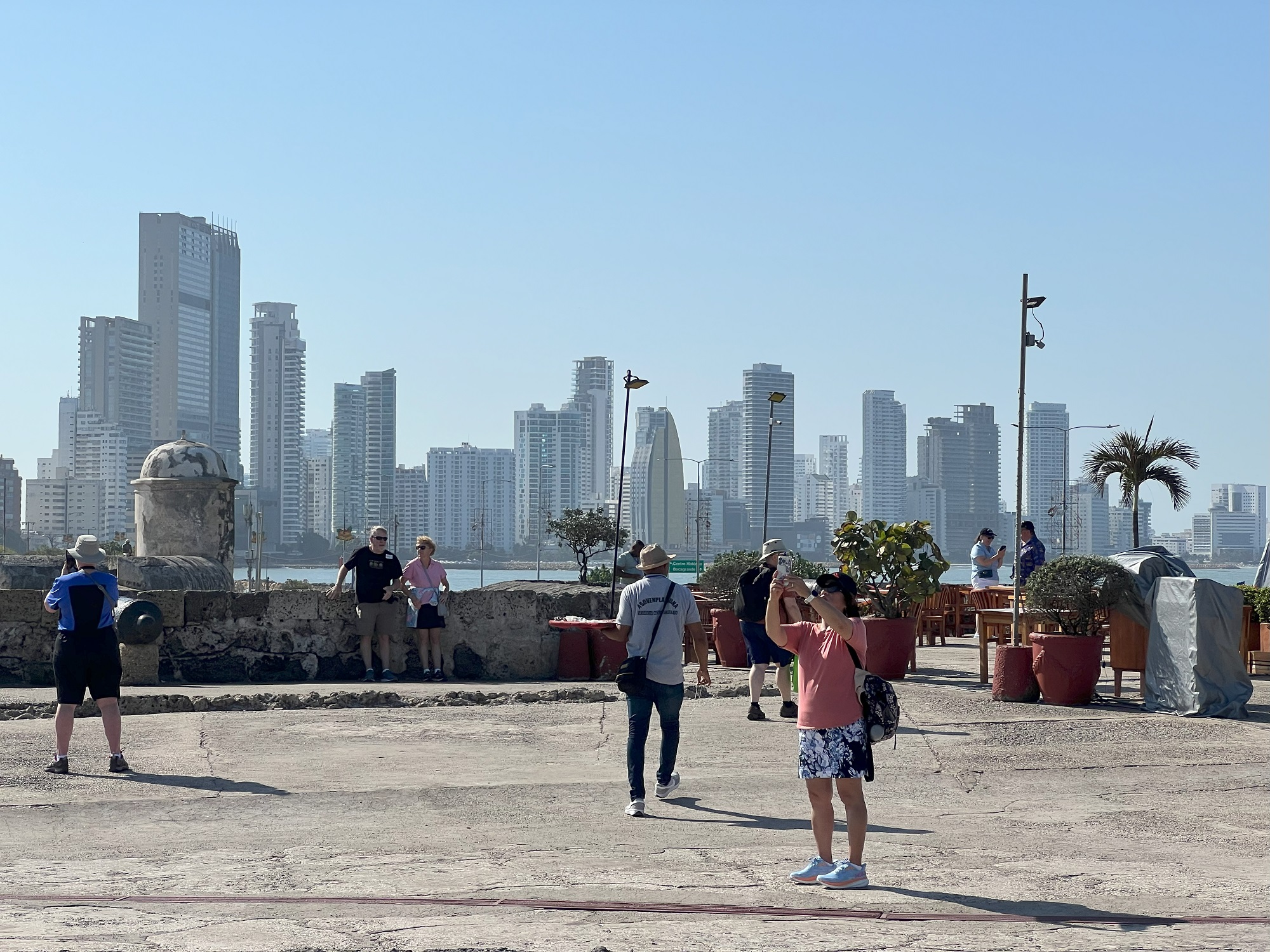
We spent some three hours in the Old Town of Cartagena this morning, and came away with a good impression.
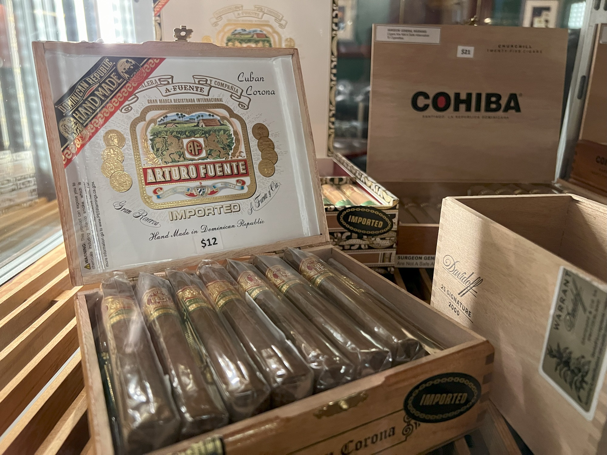
Just be prepared to say no gracias many times, to the street vendors selling t-shirts, hats, bottled water and soda, souvenirs and cubanos (cigars).
The day temperature rose rapidly through the morning, and it was already 90 °F (32 °C) when our taxi driver met us to take us back to the ship.
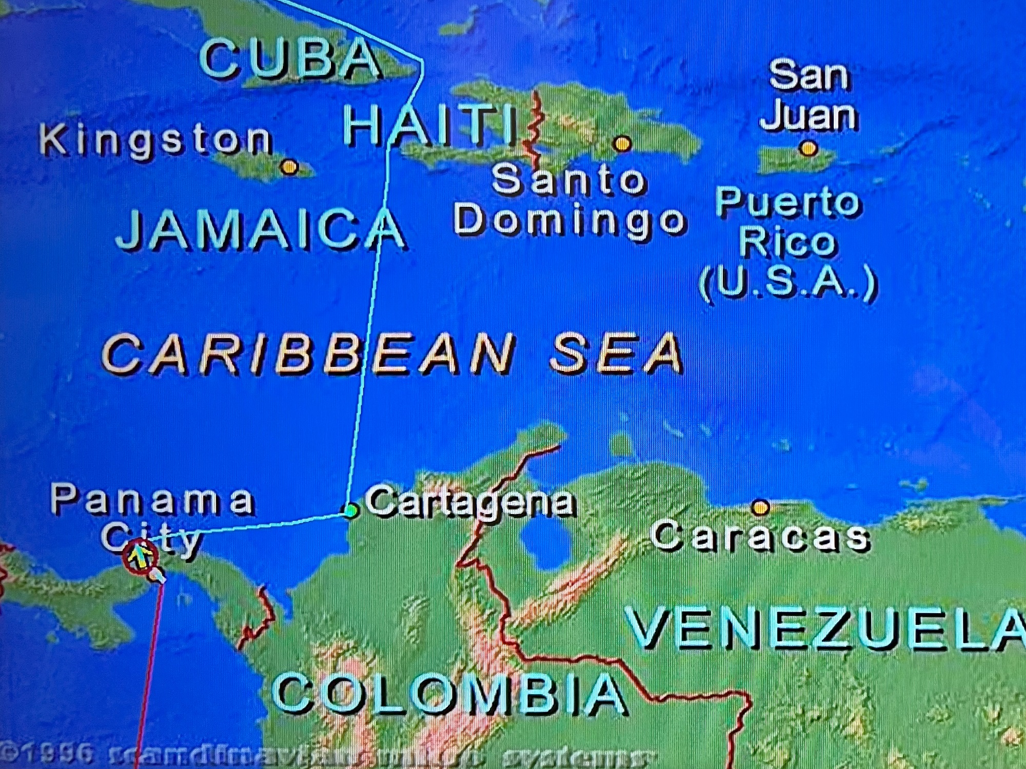
The Norwegian Sun made her way through the Windward Strait in the Caribbean Sea last night, between the islands of Cuba and Hispaniola. Today, she sailed almost due south at 184° towards Cartagena in Columbia.
We are still at sea, approaching Cartagena on the Caribbean Sea coast in Columbia.
It was mostly sunny today, but very breezy on the top deck— due to a 35-knot wind from the west.
A two-foot wave of water in the big swimming pool sloshed forward and backward. (The pool had a net on, closed to all of the sunseekers. A smaller pool behind it was still open).
Cigar offerings from the cozy Havana Bar— right next to the larger Windjammer Bar, two nice spaces to go sit in and relax in on a windy day such as today.
Cuba is in the way of sailing due south, and so we had skirted it towards the southeast for most of today. (Position shown for 9 pm Eastern Time on Saturday night). We could see the lights of the towns near the Cuban coast tonight.
We were barely an hour or two out of Miami (after our departure at 6 pm on Friday night), when the captain announced that one of the passengers had fallen gravely ill, and that the best option was to return to port to disembark the patient for the medical care that she needed.
After that, Friday night and all of Saturday seemed to go without any major incident.
Pictures:
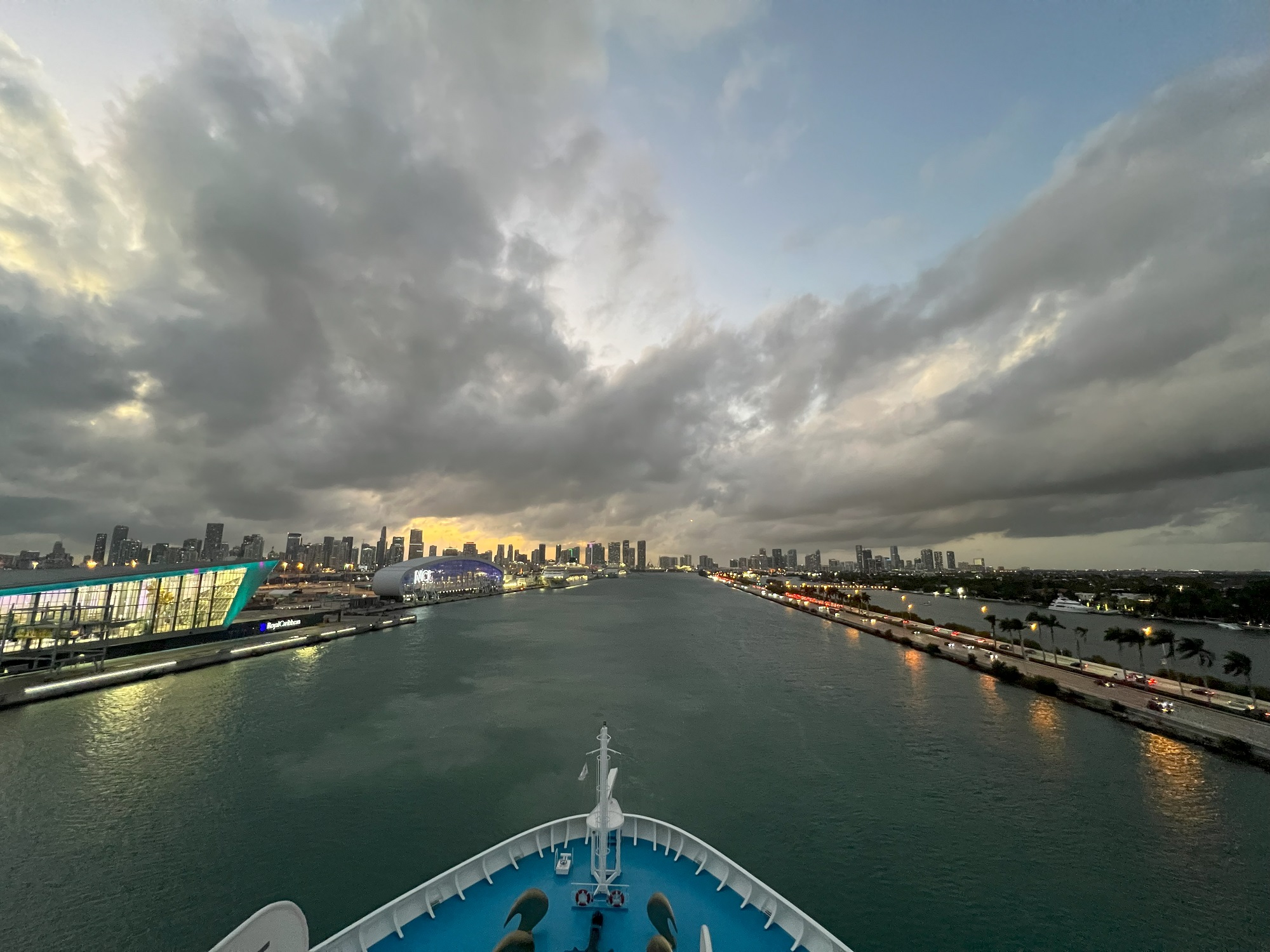
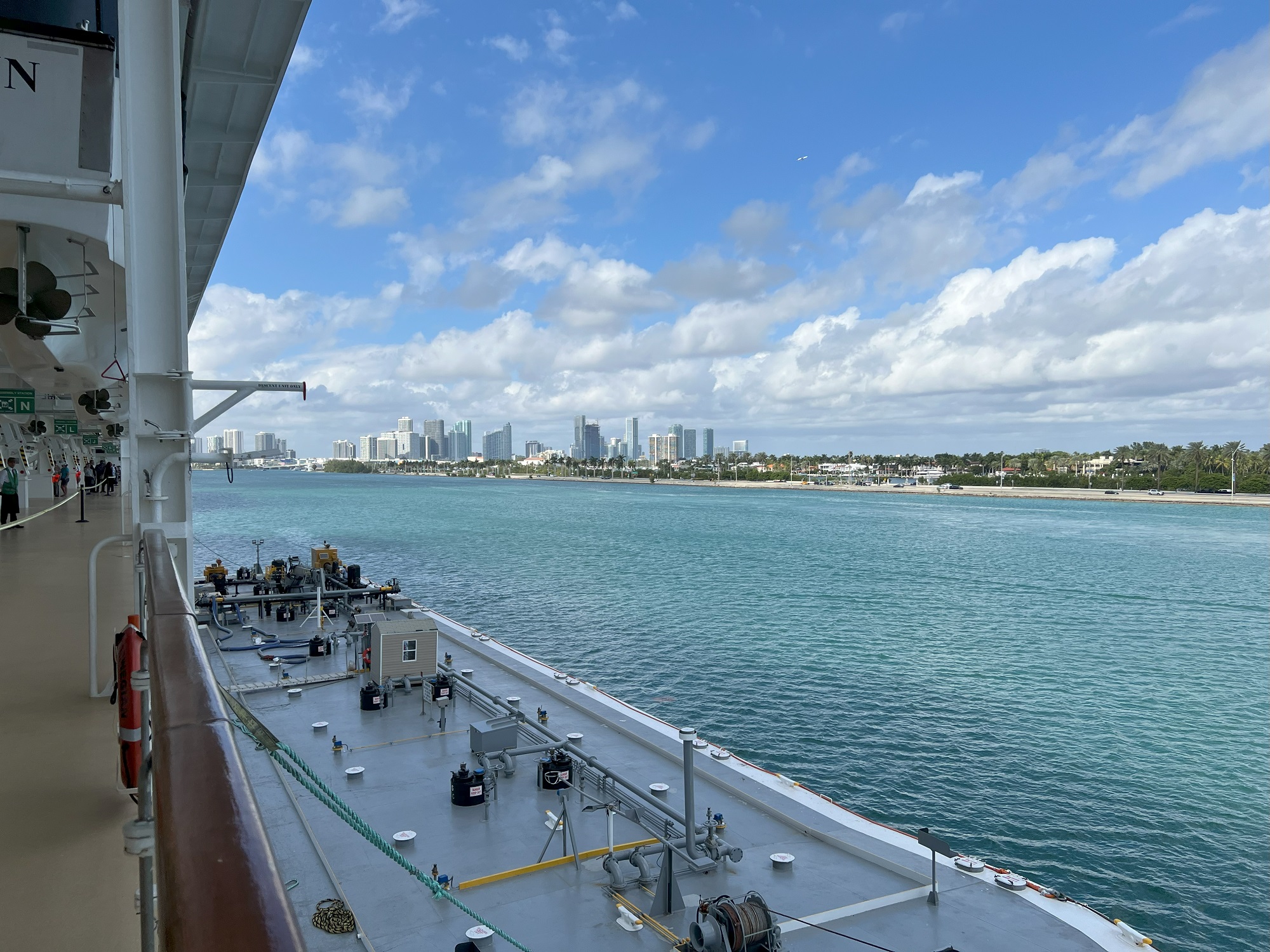
The view from atop the bow of the ship on Deck 12, while backing out of the channel alongside Dodge Island, leaving the Norwegian Sky in the distance (and the fancy Royal Caribbean cruise terminal building on the left edge of the picture);
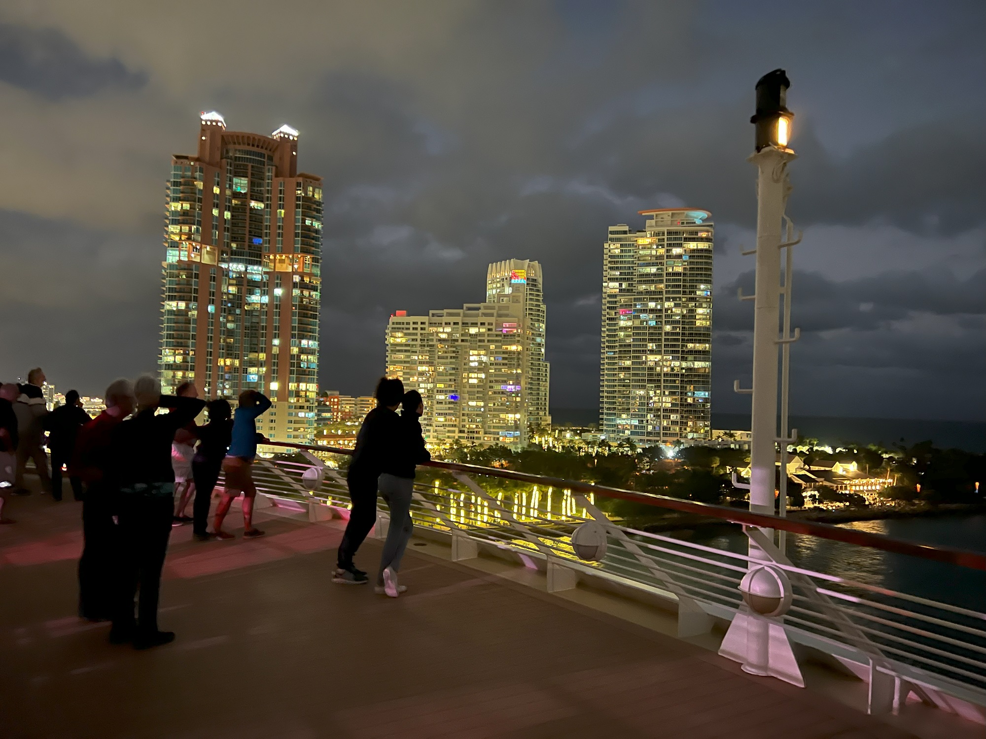
Another view from Deck 12, of the last of the condo towers before we reached the open seas;
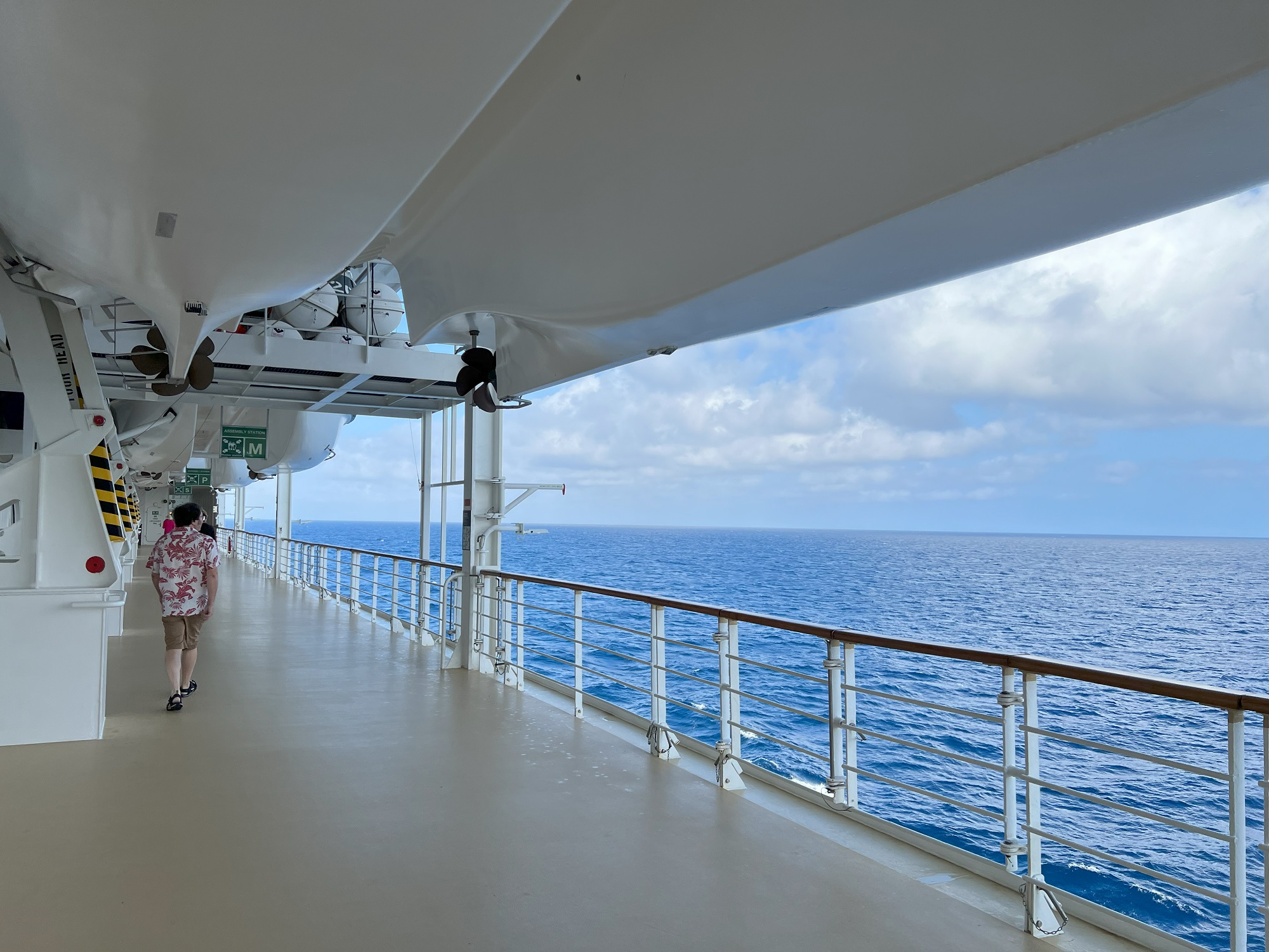
The starboard view from the promenade deck;
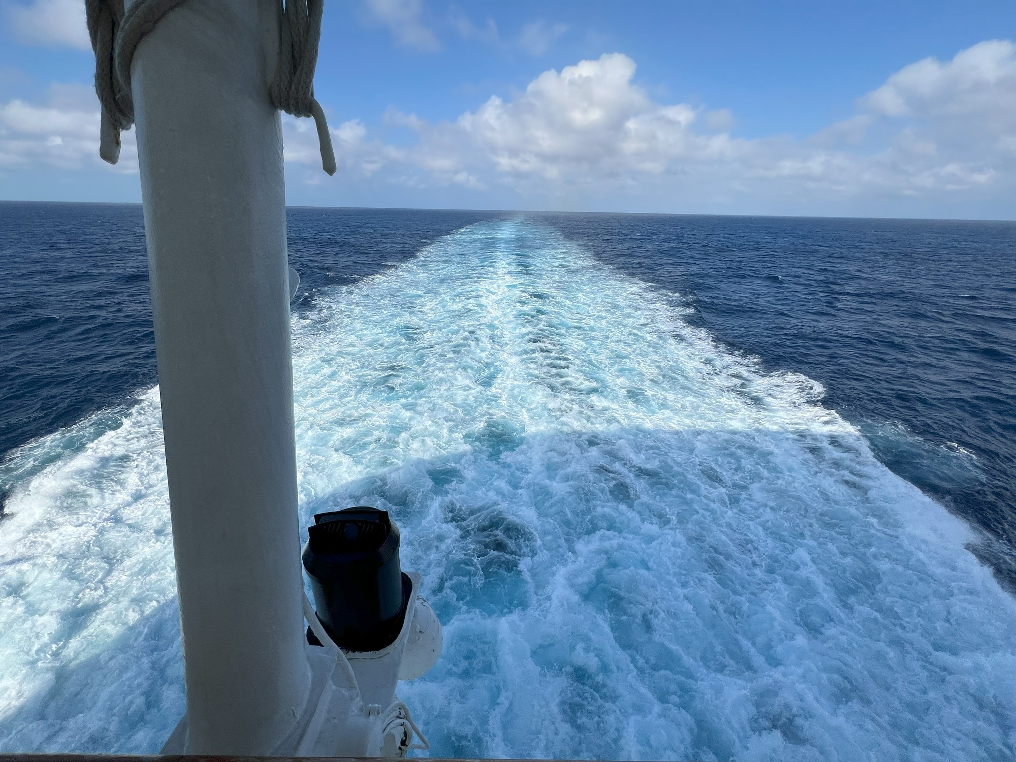
The view from the promenade deck and the stern of the ship;
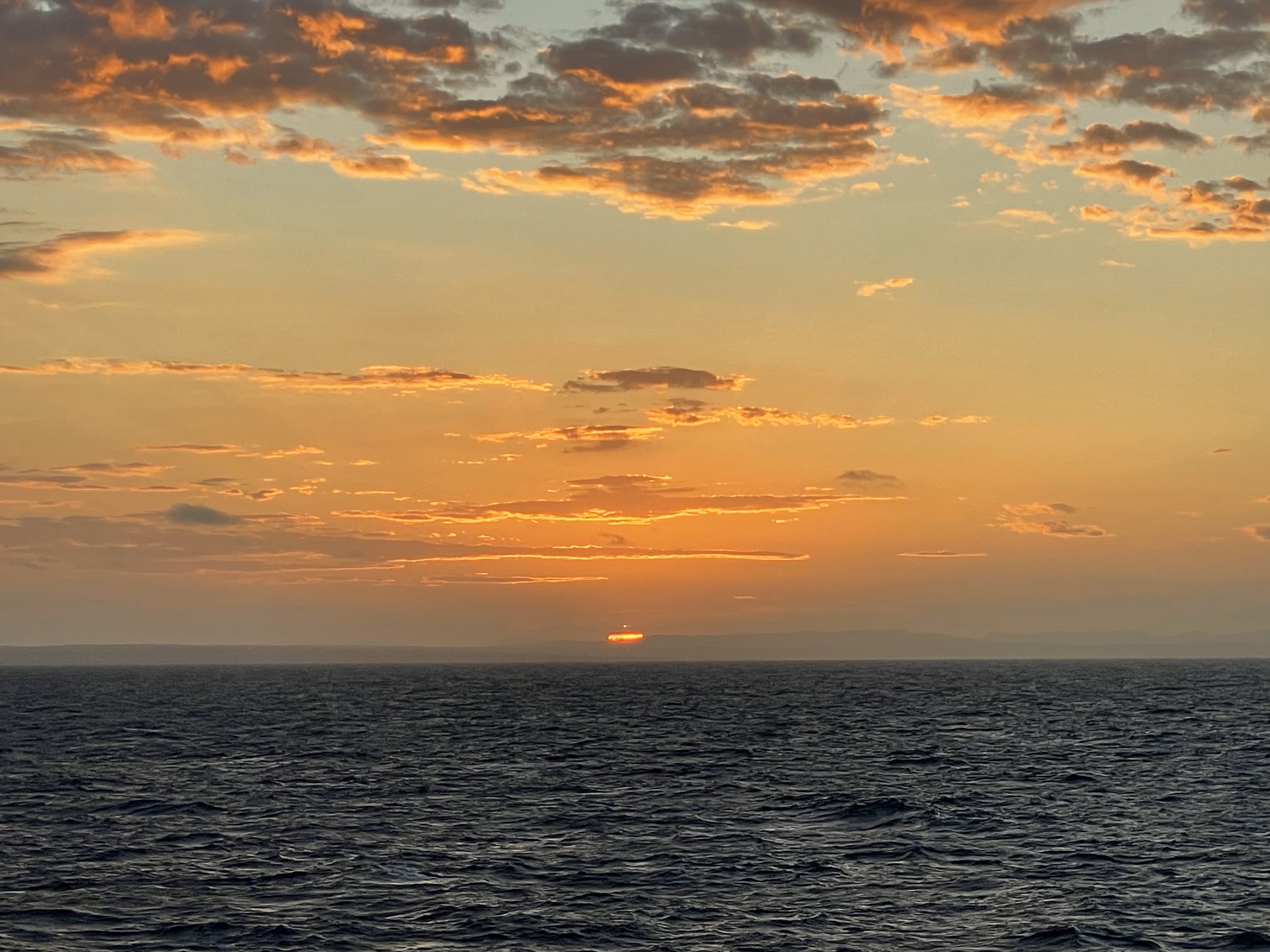
Sunset, around 5.30 pm (picture courtesy one of my fellow shipmates).
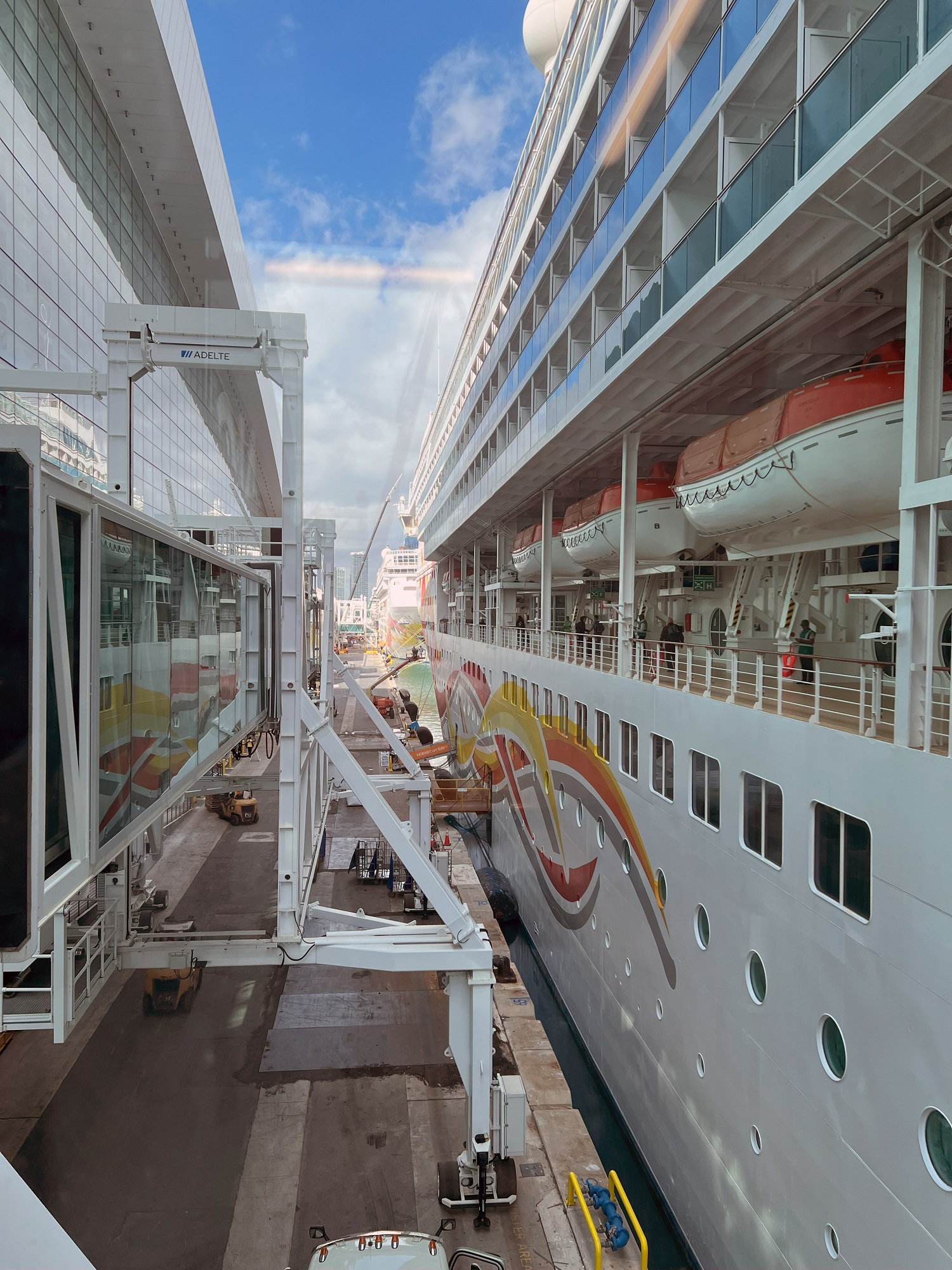
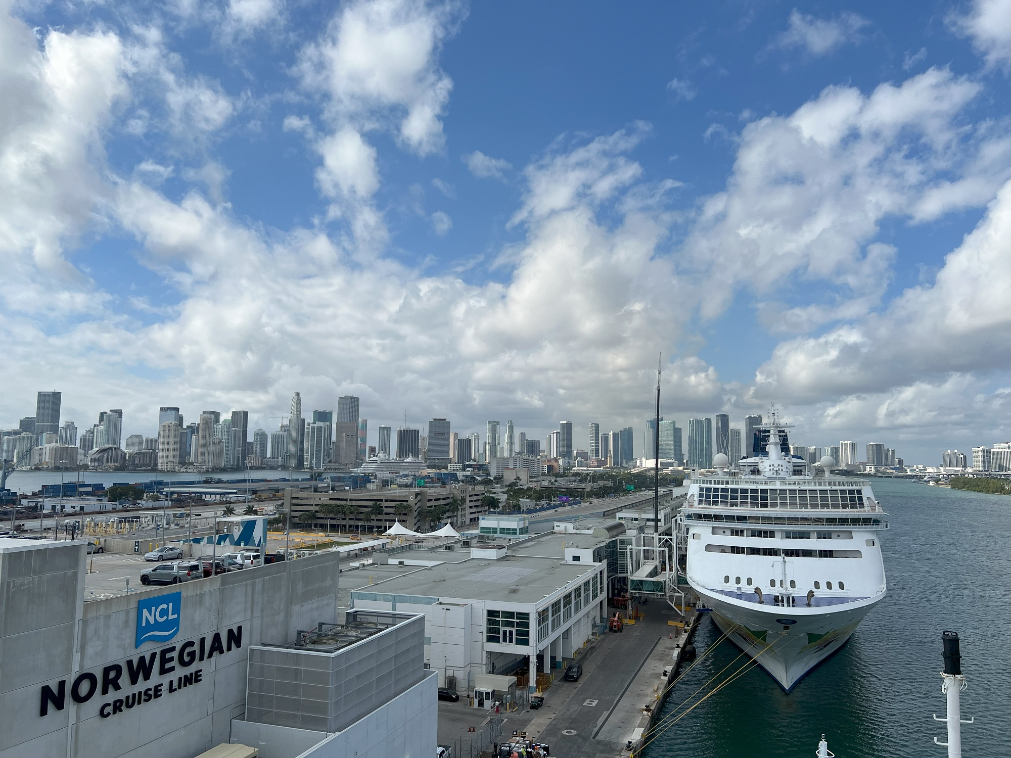
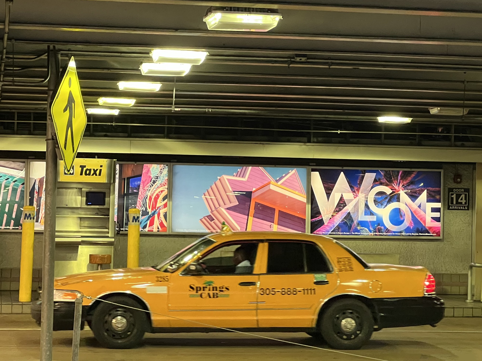
We stepped on board the Norwegian Sun at the cruise terminal on Dodge Island here in Miami at around 11.30 am, and will set sail at 5.30 pm.
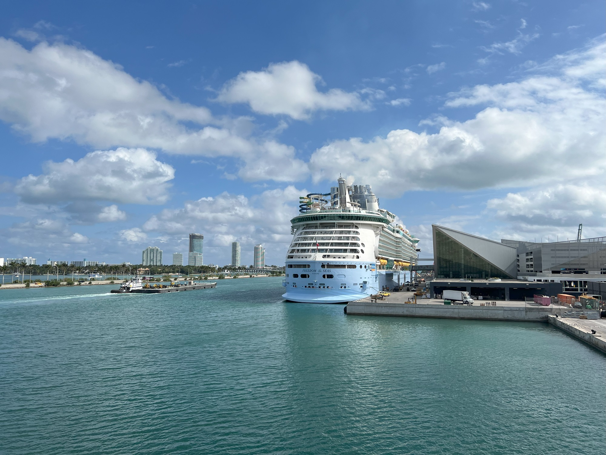
A glimpse of Miami condos from the shuttle bus on the way to the cruise terminals in the Port of Miami. Condominium living is a big thing in Miami. The Miami metro area had a population of 6.2 million in 2023.Stepping on board the Norwegian Sun at the cruise terminal on Dodge Island. First things first, after stepping on board: passengers have to check in at their muster station on the promenade deck (the station to report to in case of an emergency on board).A barge next to the ship, seen from the promenade deck. The Norwegian Sun made her maiden voyage in 2001. Tonnage: 78,309 tons, Length: 848 ft, Avg. Speed: 23 knots, Passenger Capacity: 1,936, Normal Crew Size: 906.Looking northwest towards the city skyline in the distance. That’s the Norwegian Sky (launched in 1996) in front of us, similar in size to the Norwegian Sun.Behind us is Freedom of the Seas from the Royal Caribbean cruise line, a newer and much larger vessel than ours. It was launched in 2006 and can accommodate 3.634 passengers.
We made the 5-hour flight into Miami International Airport.
Our scheduled departure from Seattle at 7.19 am was delayed by almost an hour, due to issues with loading the bags onto the plane.
After that it was smooth sailing*.
(*Flying, the sailing will start tomorrow).
My compadres and I are flying out to Miami in the morning, so that we can board the Norwegian Sun to set sail with us on Friday.
She will be heading to South America through the Panama Canal, and I will try to post about our whereabouts every day, of course. There will be wi-fi on the ship, but I suspect it is not going to be super-snappy and solid.
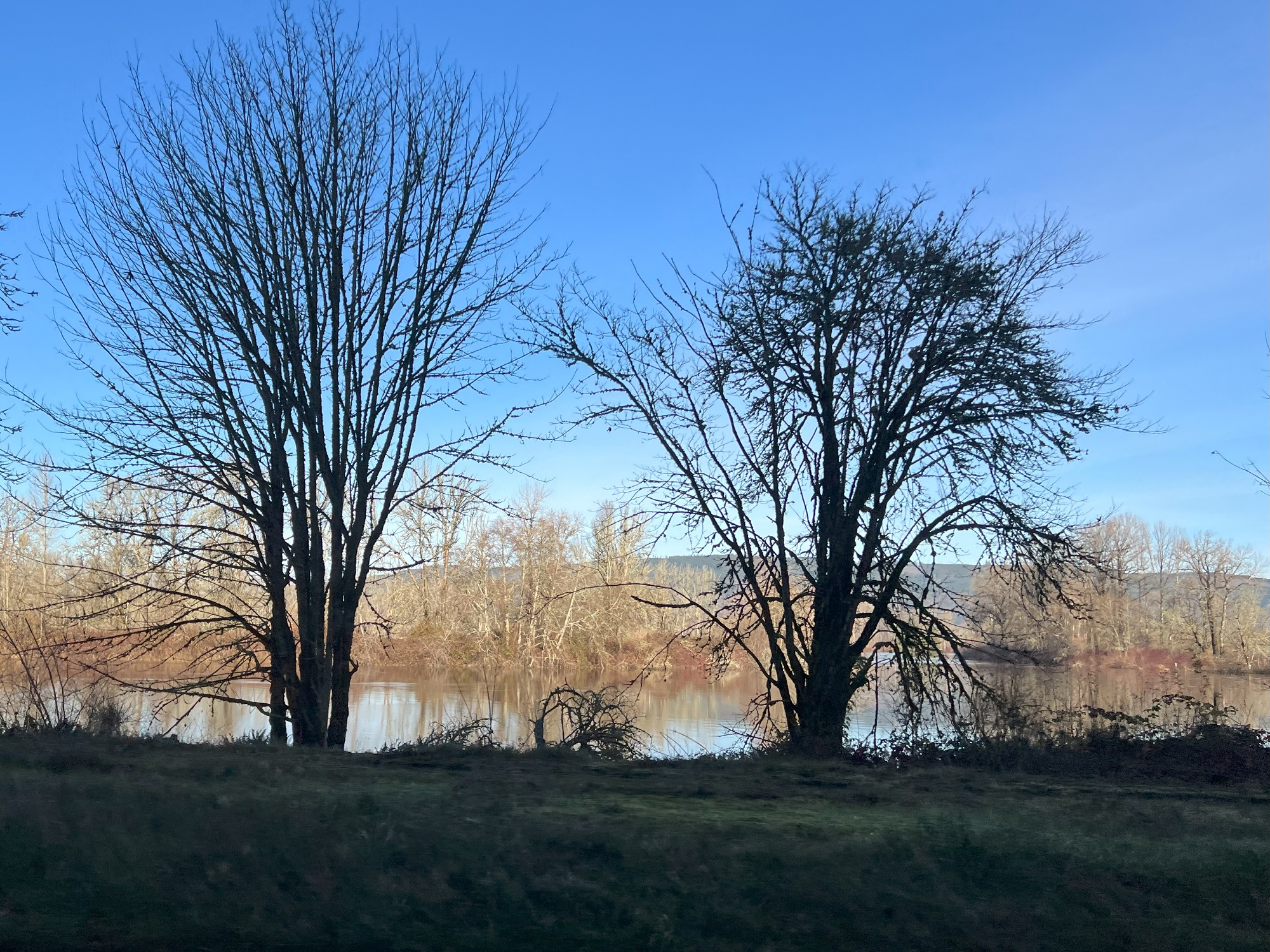
I could see my breath today (low 40s, about 5 °C outside)— a tad too cold for a long walk.
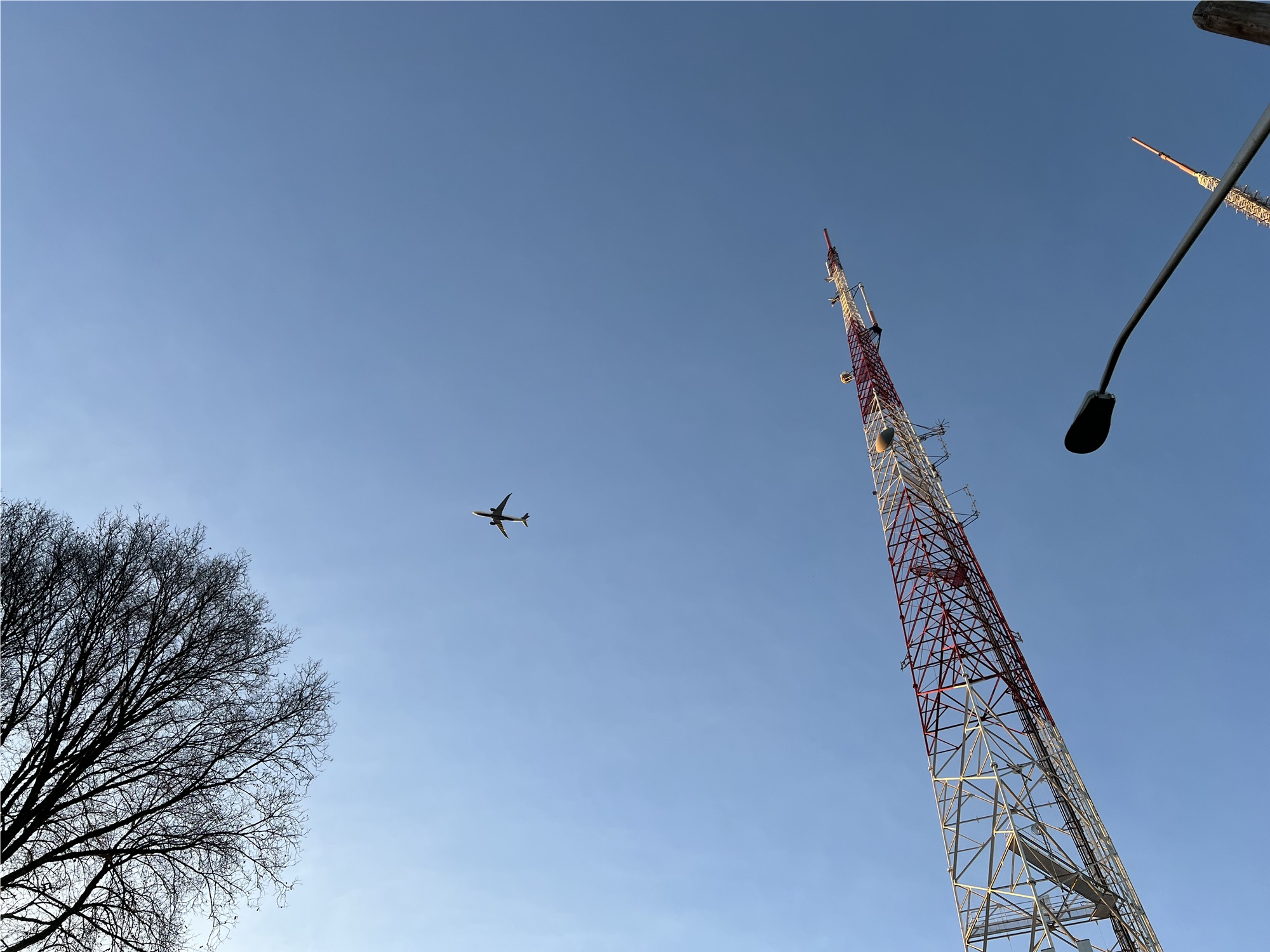
There were no clouds in sight 4 o’clock today by the high antenna towers on Madison Street and 18th Avenue on Capitol Hill. That’s Delta DL 282 from Shanghai, coming in to land at Sea-Tac (flight time 11 h 15 min), some 90 minutes later than it had been scheduled.
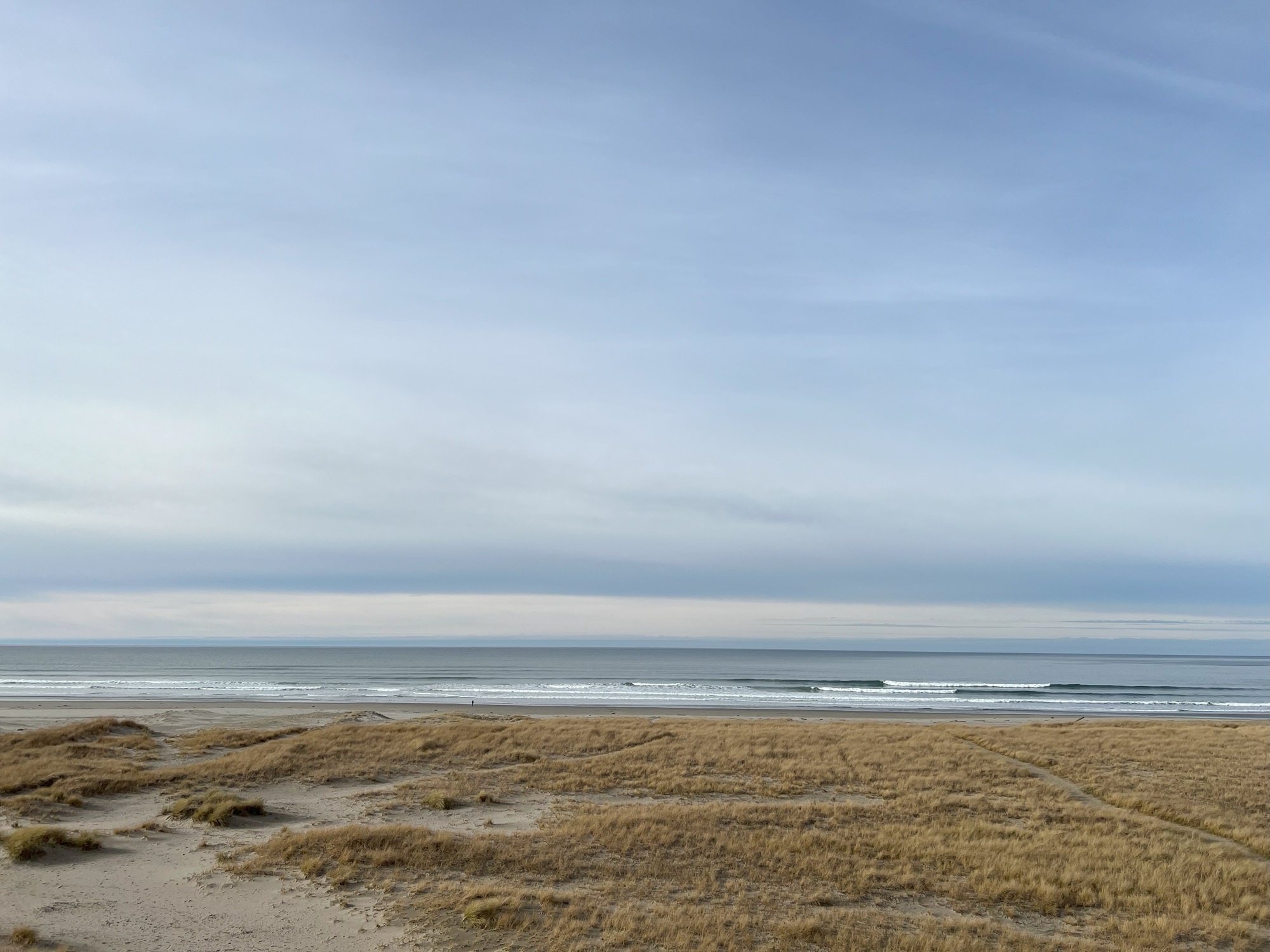
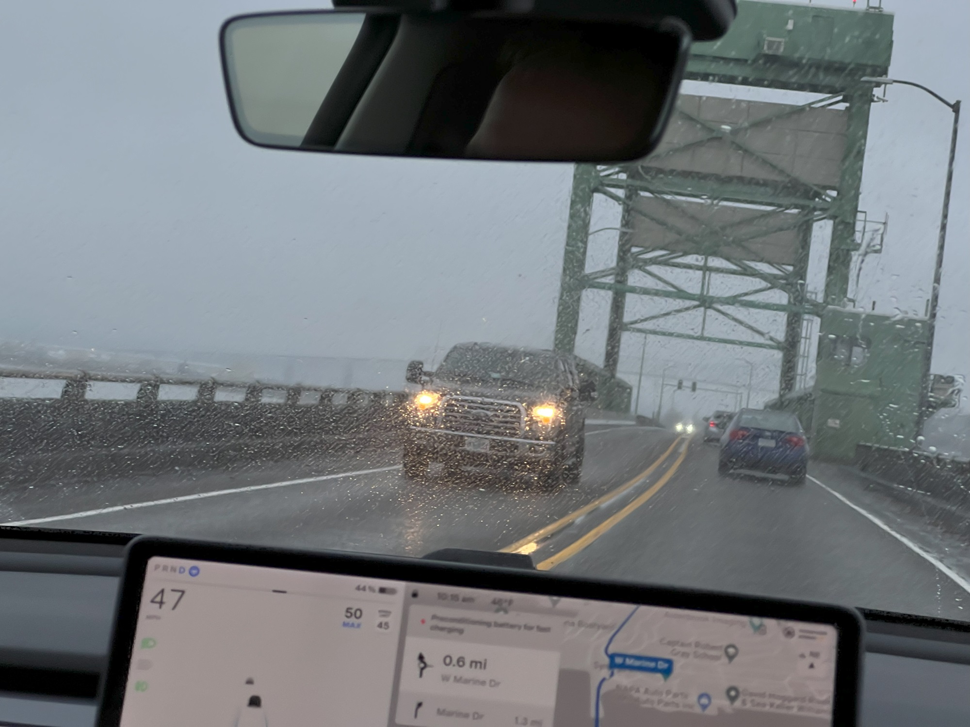
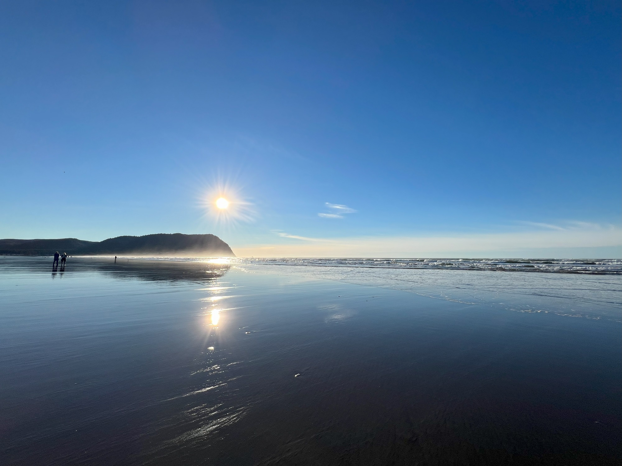
Wednesday was clear and quiet, but there was rain on Thursday morning in Seaside as we packed up and headed home to Seattle.
Pictures:
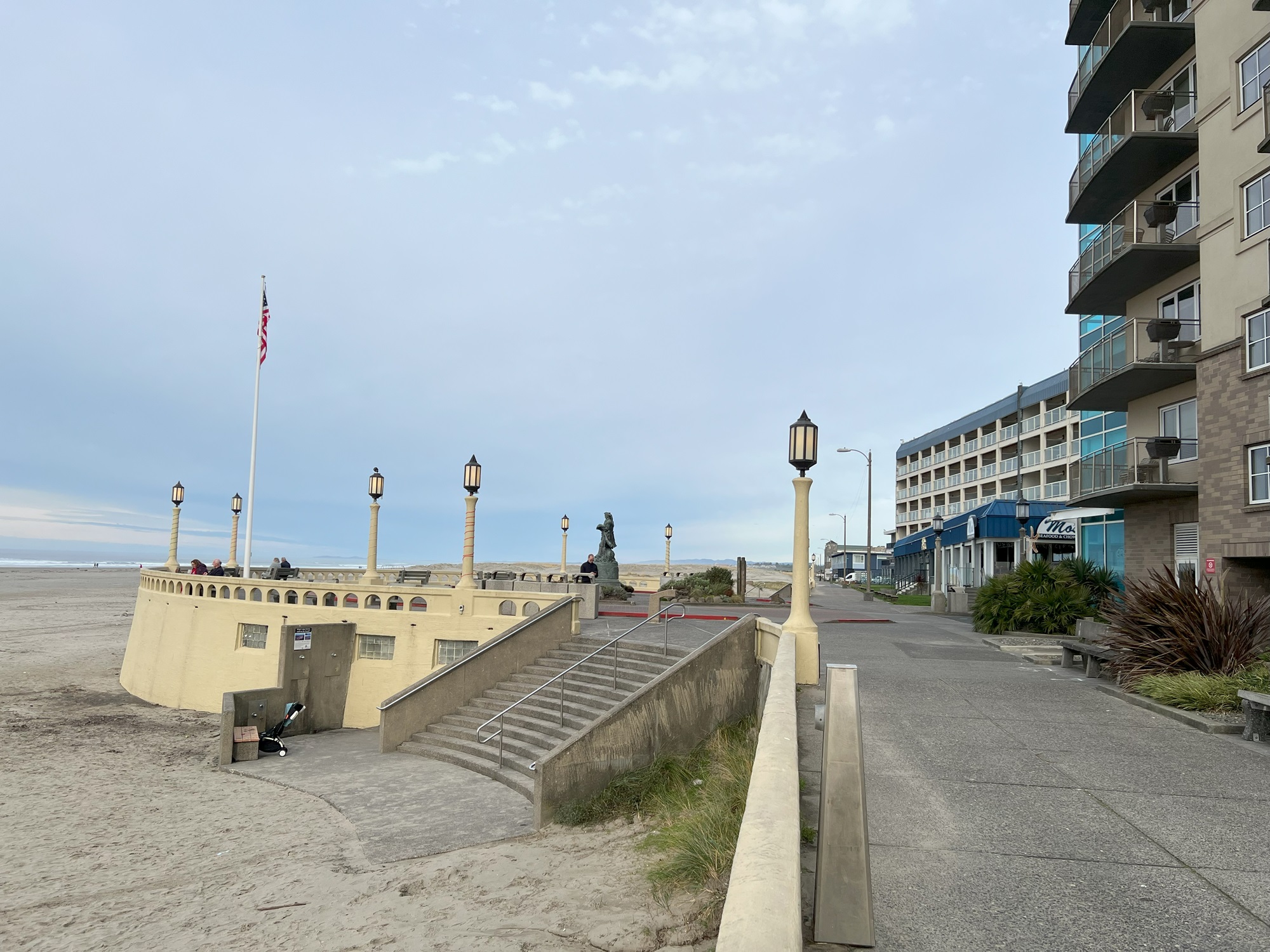
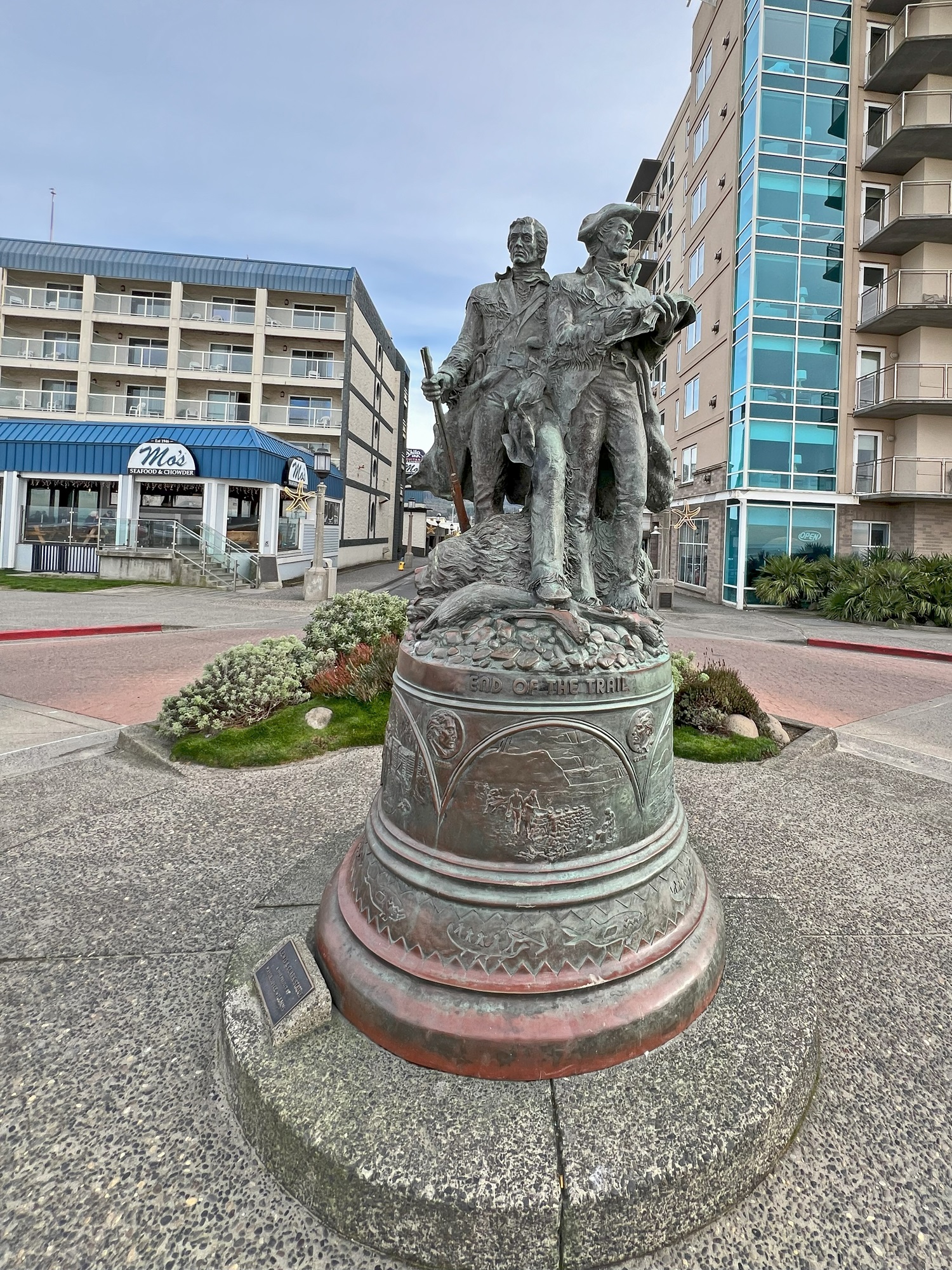
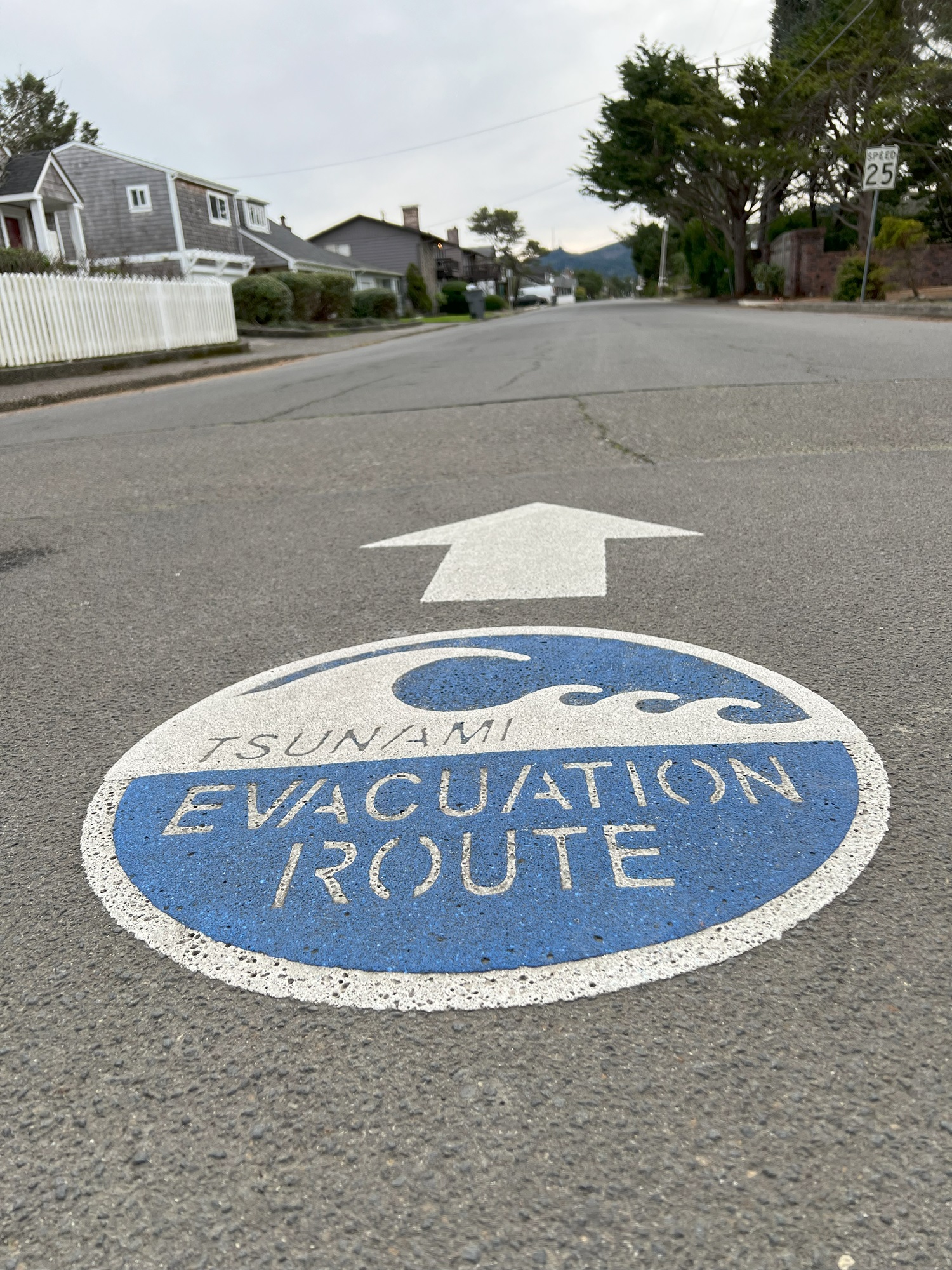
Seaside beach around noon on Wednesday | The historic Seaside Promenade is 1½ miles long and was dedicated in 1921 | Monument for Lewis and Clark, whose expedition had started in St Louis, MO, in May 1804, and ended at Fort Clatsop in Sept. 1806, nearby Seaside, to its north | A marker for an evacuation route (Seaside is only at 23′ elevation and vulnerable to tsunamis) | Approaching the drawbridge on US-101 going over Youngs River
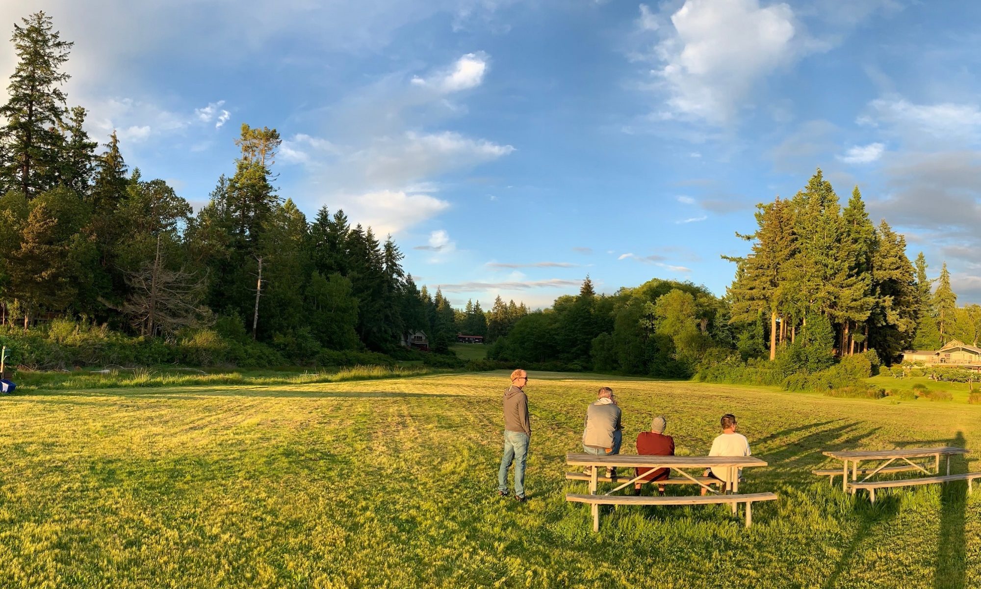
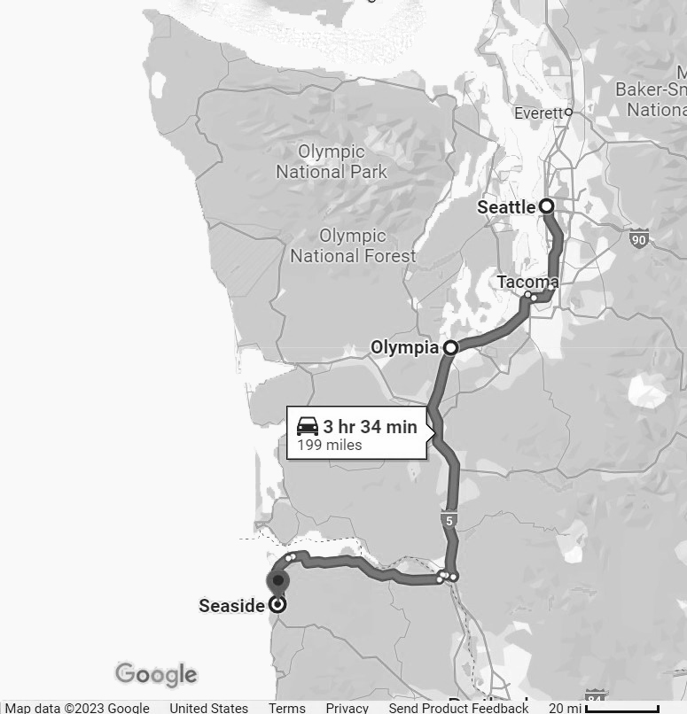
Three amigos drove down to Seaside, Oregon today, to join two amigos that were there already.
Pictures:
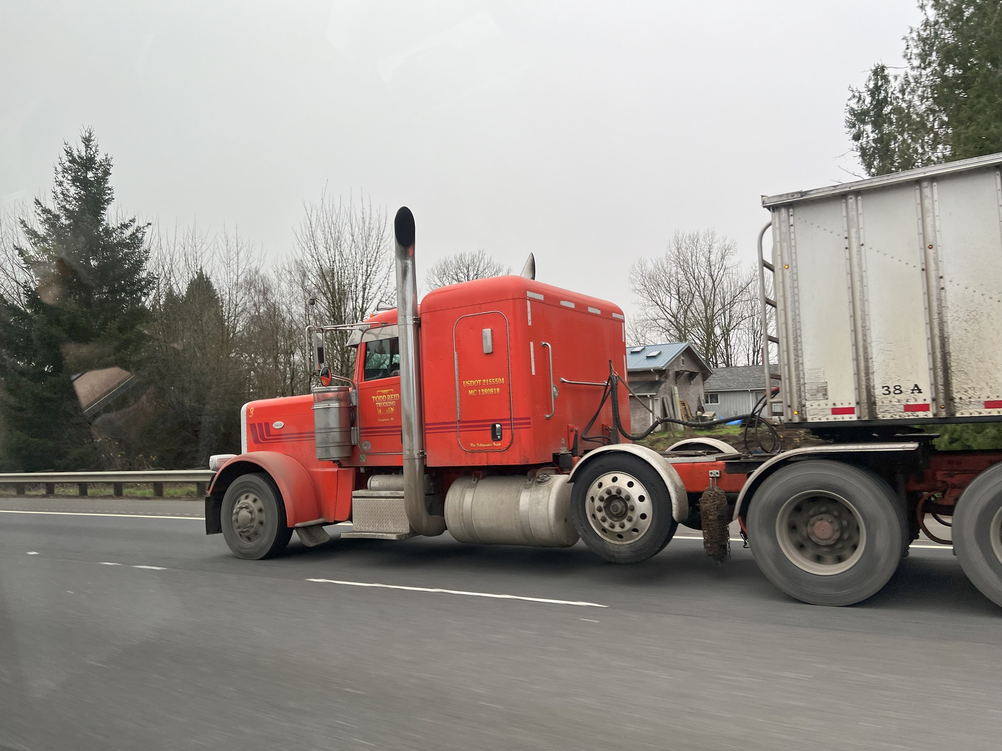
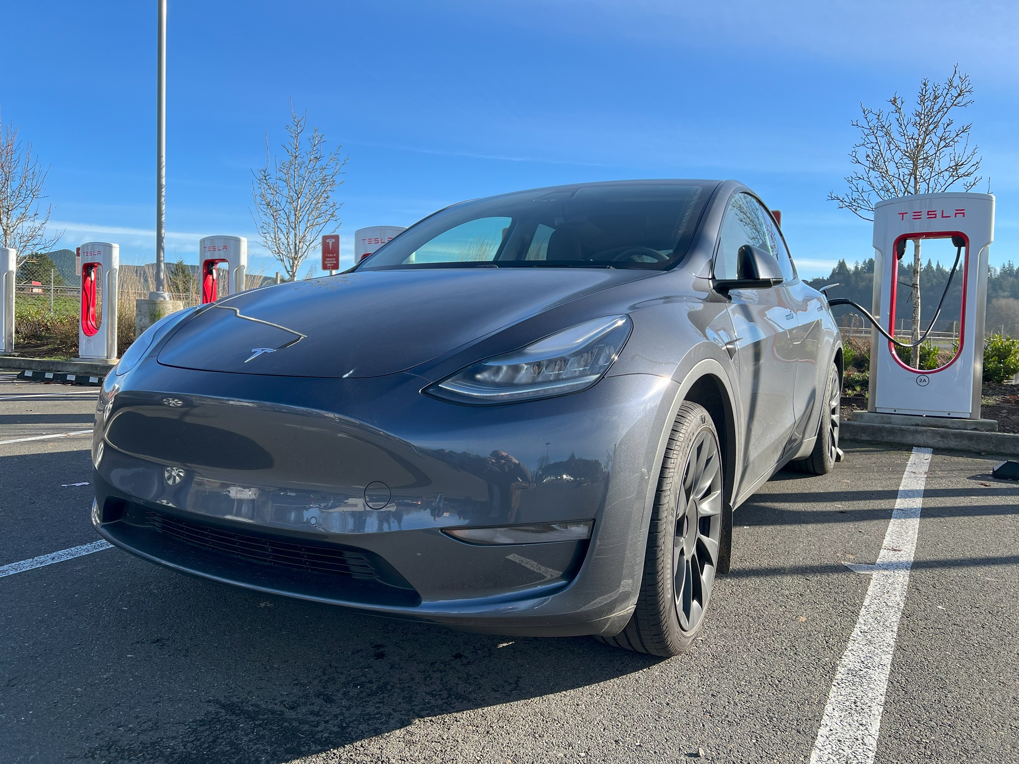
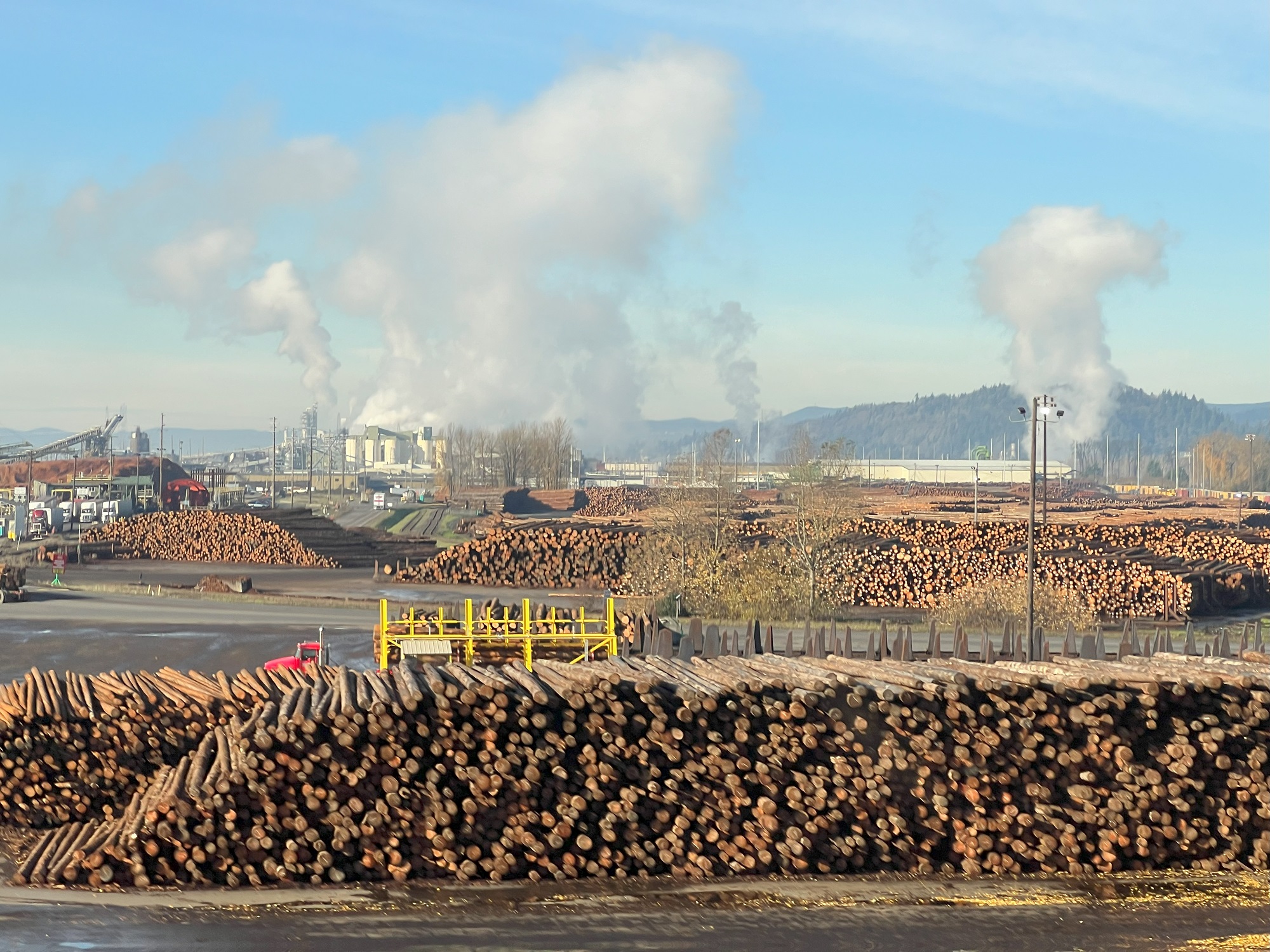
There were plenty of trucks, and fog until noon on I-5 South | At the supercharger in Kelso, Washington | Weyerhaeuser Company’s sawmill at Longview on the Columbia River has been in operation since 1929 | Crossing the Lewis and Clark Bridge and the Washington-Oregon state line on the Columbia River | The marshlands near Kerry Island, Oregon | The beautiful beach at Seaside
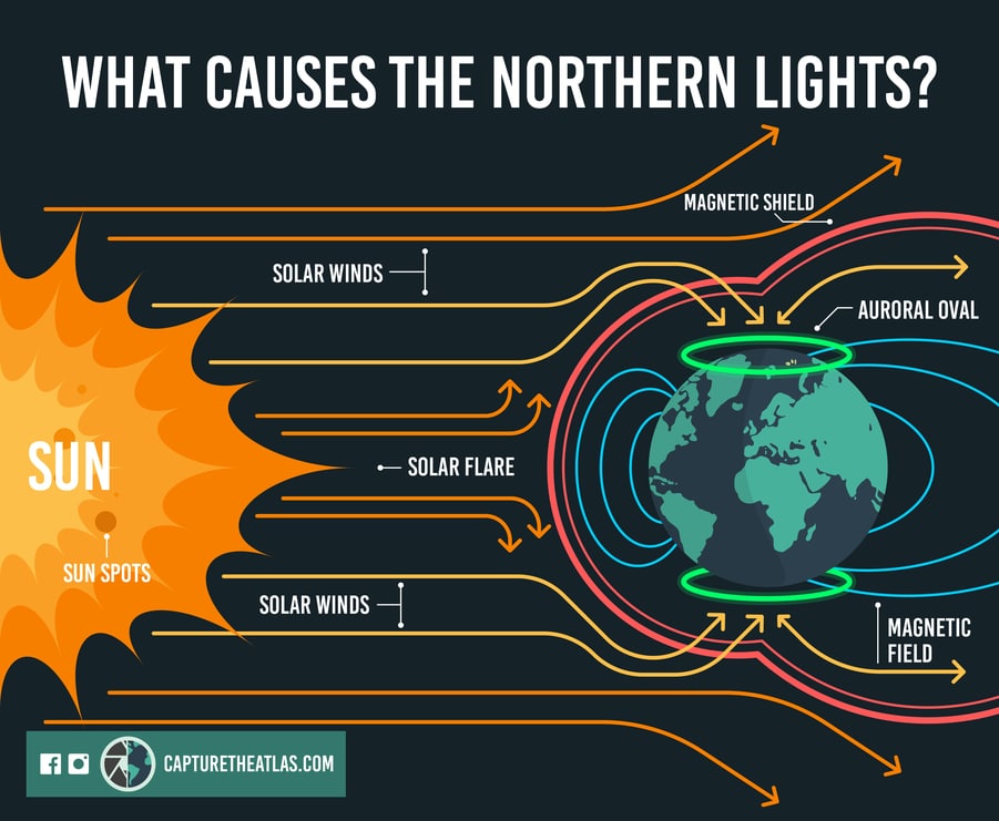
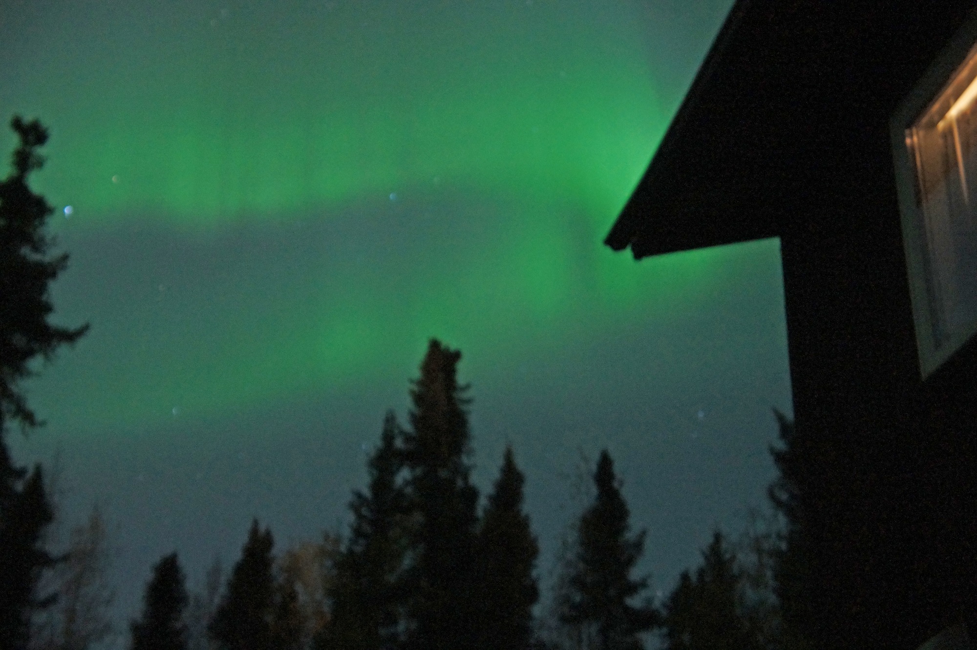
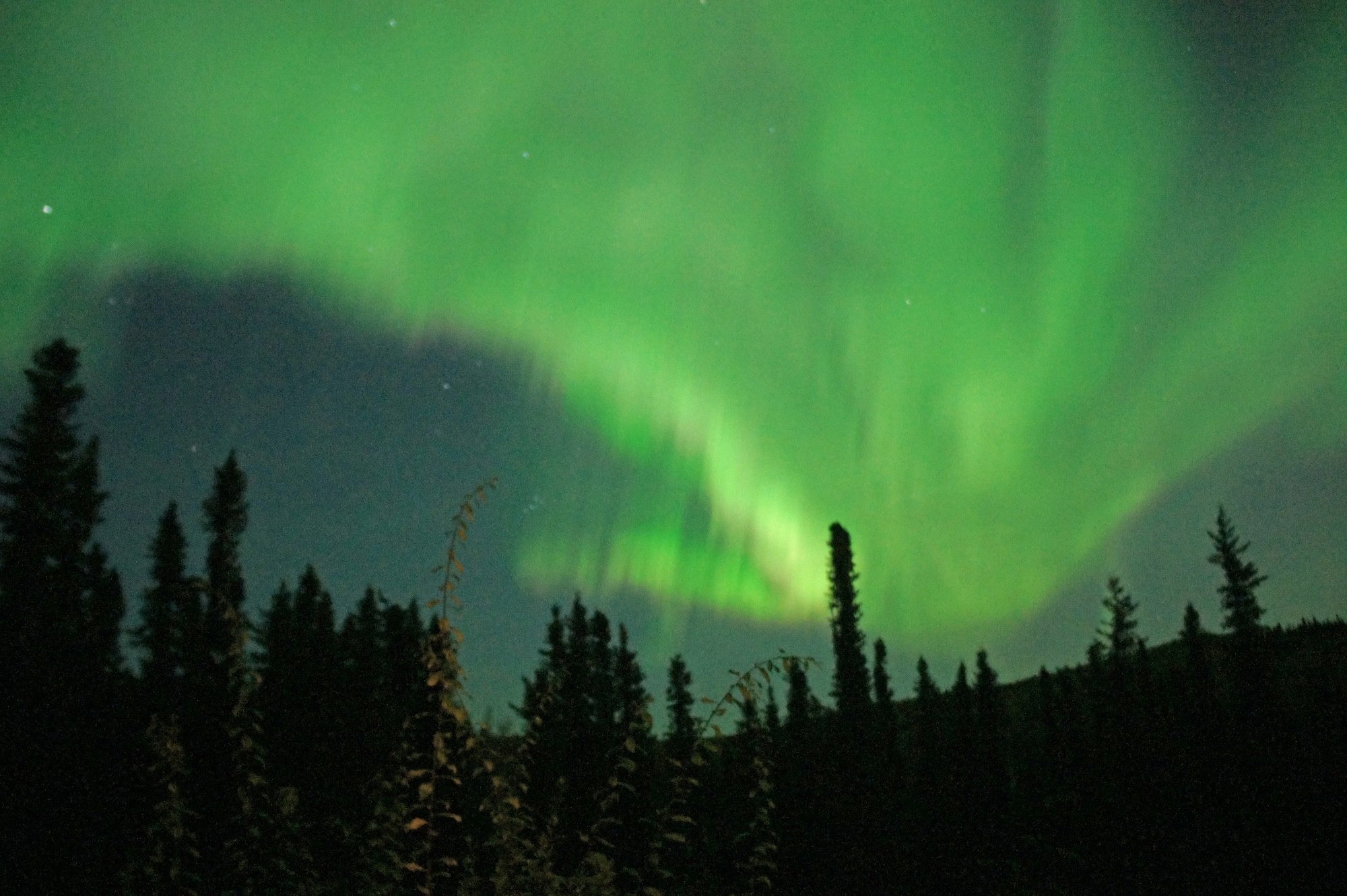
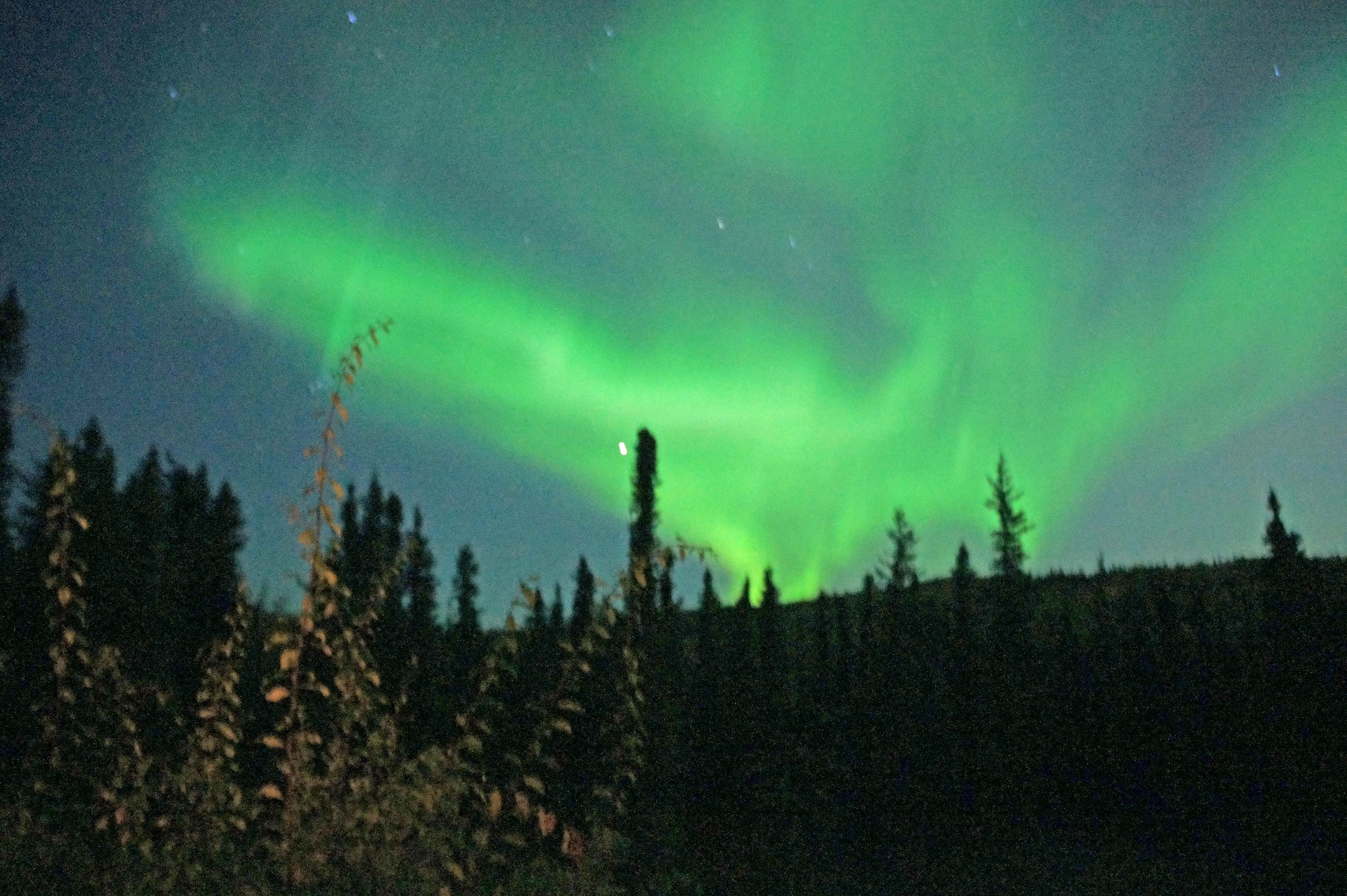
When a solar storm comes toward us, some of the energy and charged particles from the sun (mostly electrons and protons) can travel down the magnetic field lines at the north and south poles into Earth’s atmosphere. There, the particles interact with gases in our atmosphere resulting in beautiful displays of light in the sky. [Infographic by capturetheatlas.com]These pictures are from the northern lights (aurora borealis) as we saw them from our lodgings some 15 miles outside Fairbanks.
Please note: a camera presents severe limitations when the lights appear in an animated fashion, and in the entire night sky overhead!
The photographer is Francois Theron and he used a Sony NEX-3 digital camera with a 10-second exposure.
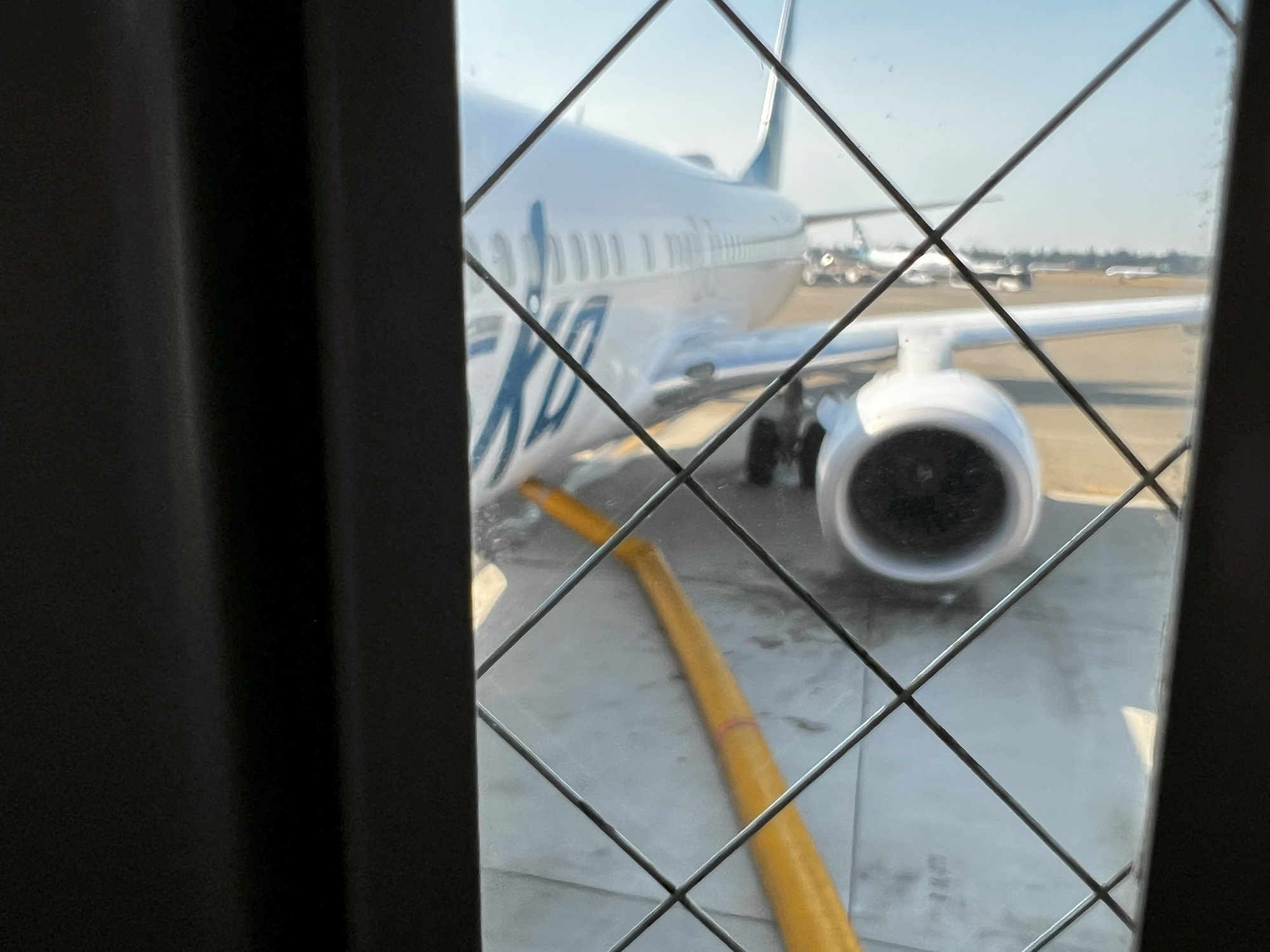
The three friends made their way back to Seattle today, taking an early 7 am flight out of Fairbanks on Alaska Airlines.
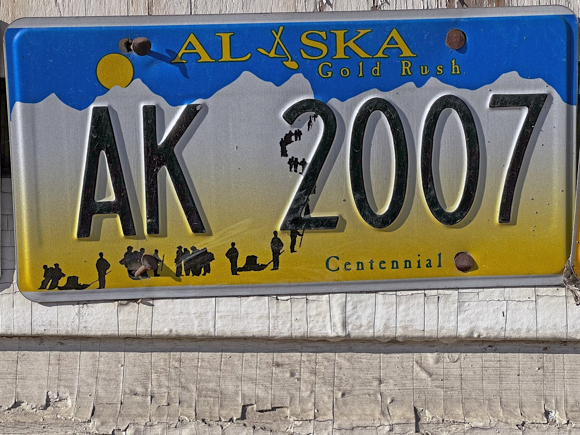
A license plate commemorating the Alaska Gold Rush (also called the Klondike Gold Rush). Some 100,000 prospectors made the trip from Seattle to the Klondike region of Yukon, Canada, between 1896 and 1899. Gold is mined in Alaska to this day, and the state’s largest mine is in fact 25 miles northeast of Fairbanks. The mine’s name is Fort Knox and it has been operating since 1996.
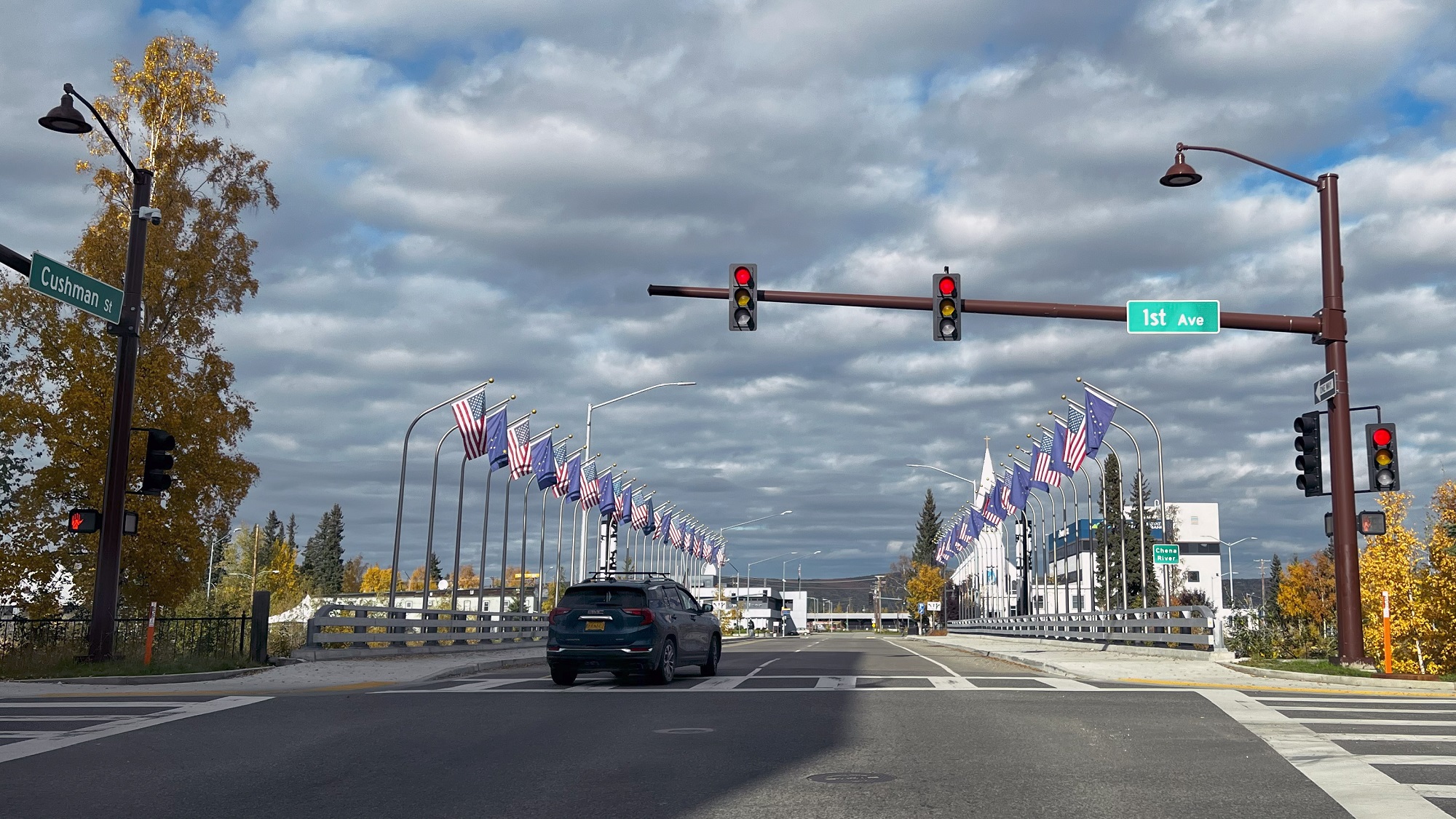
We made a brief stop in downtown Fairbanks today, and then headed to the The University of Alaska Museum of the North (the museum is on the campus of the university).
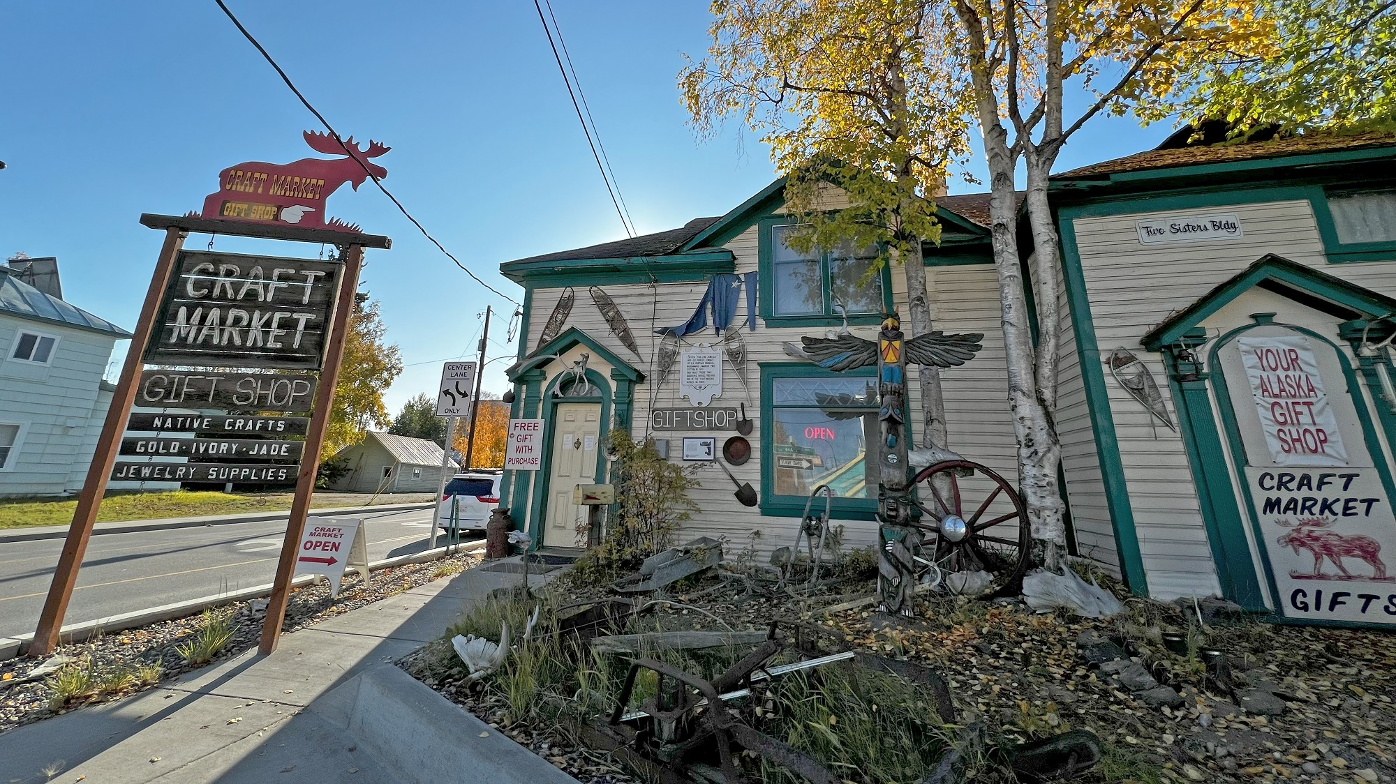
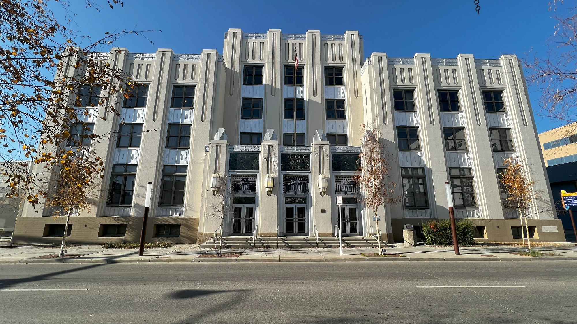
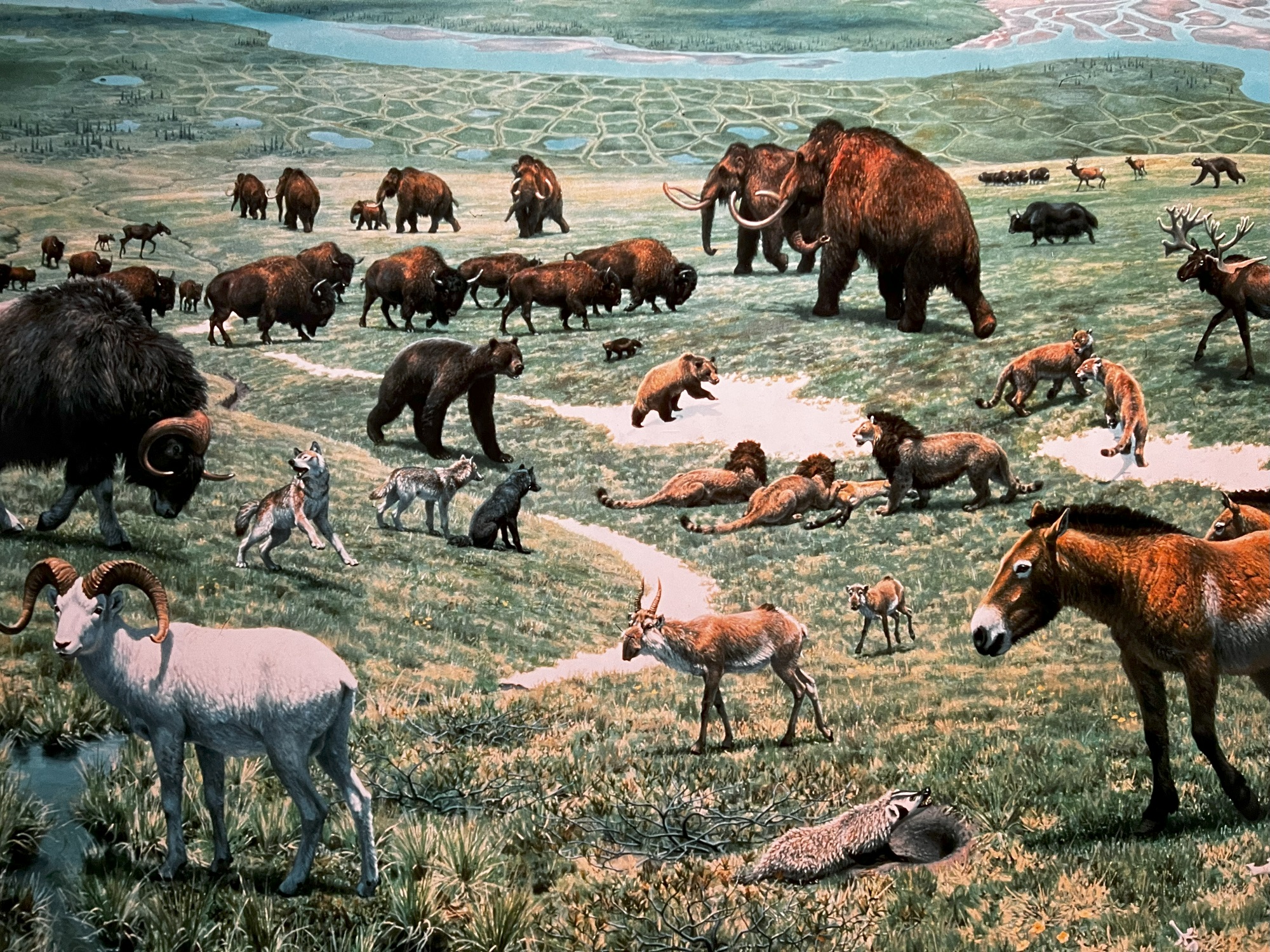
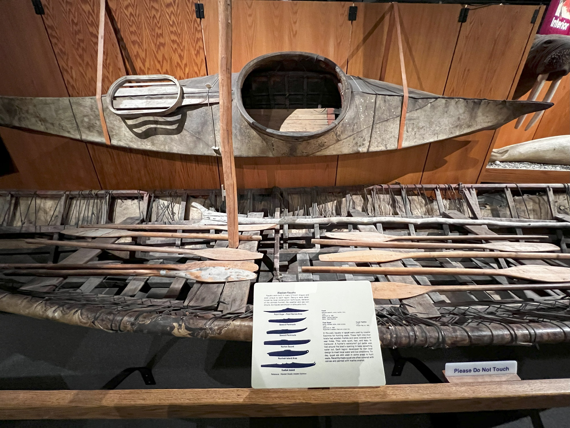
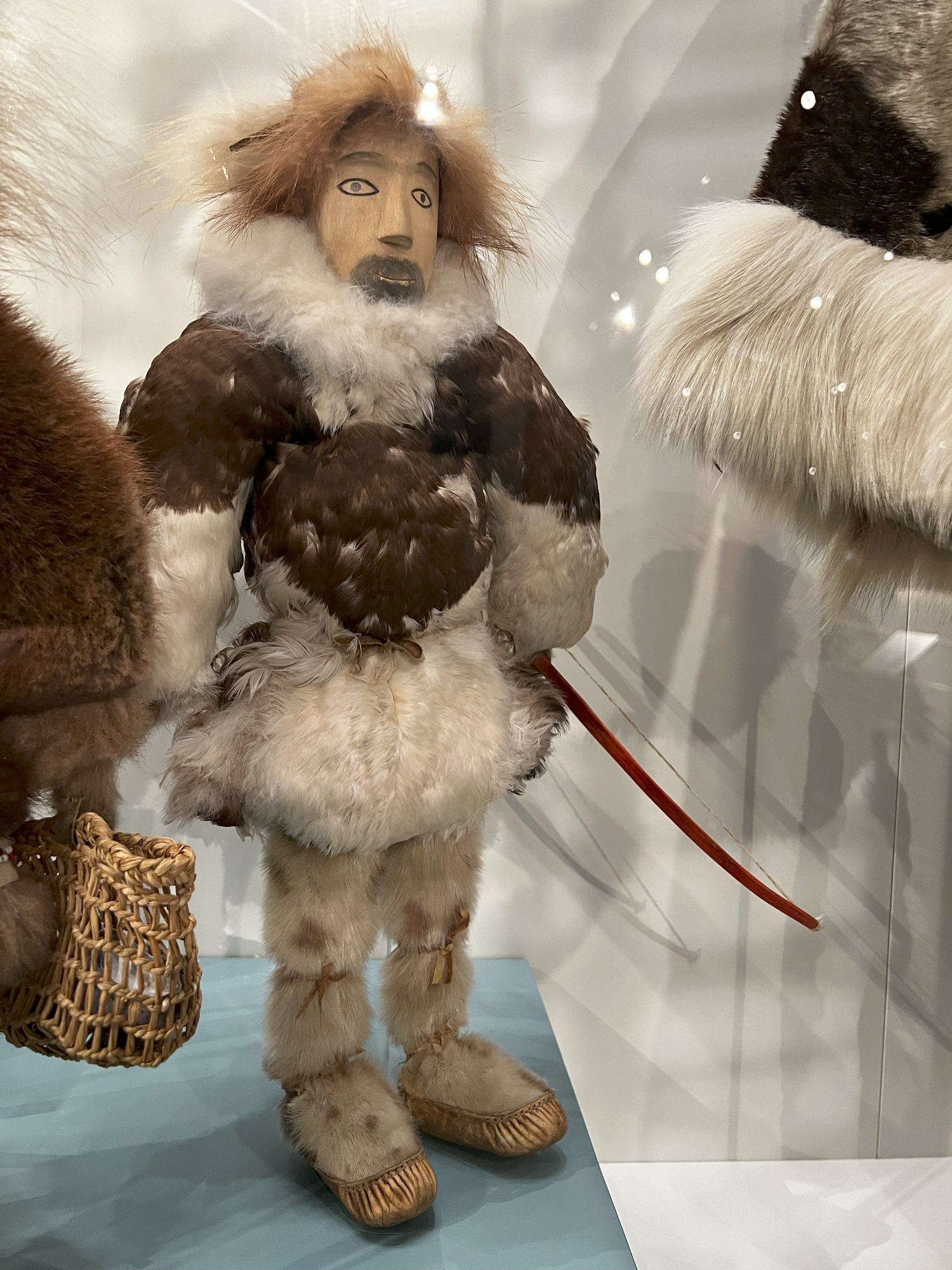
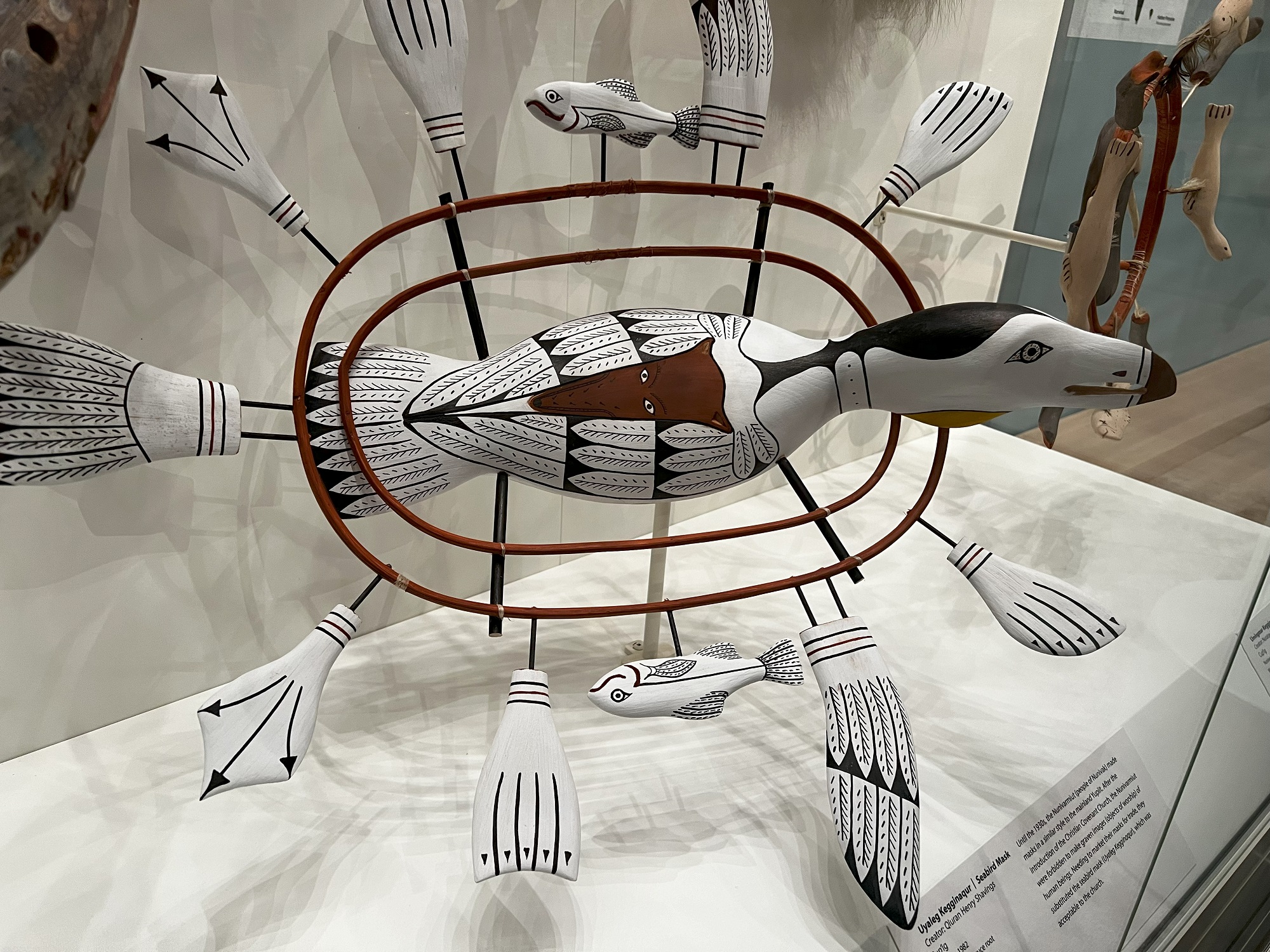
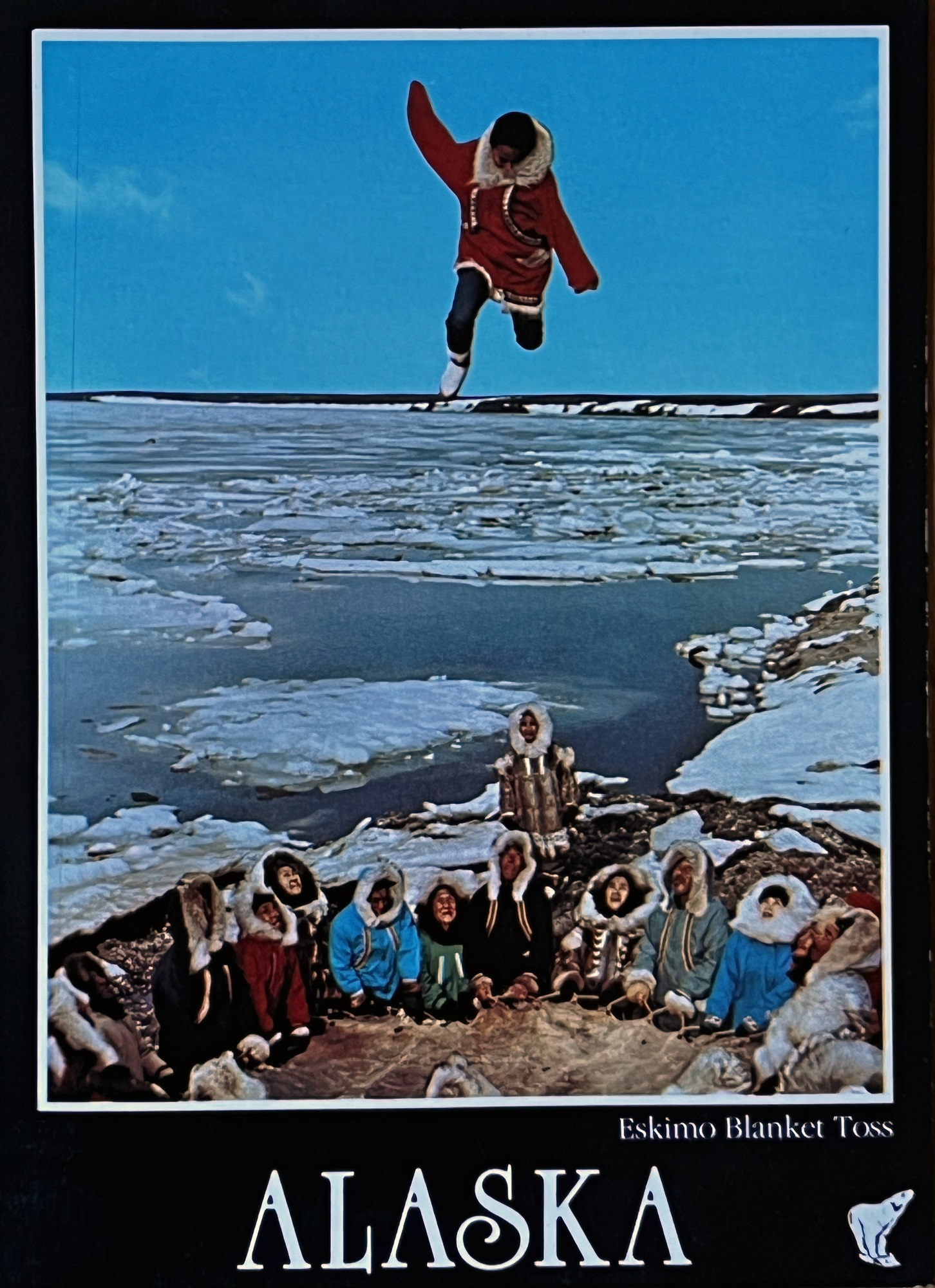
The bridge over the Cena River in downtown Fairbanks is lined with the Stars and Stripes and the Alaska State flag.We stopped by this arts and craft market with its vast collection of weird and wonderful souvenirs and antique items.The U.S. Post Office and Courthouse building on Cushman St. between 2nd and 3rd Ave. was constructed in 1932-33 and features aluminum trim with Art Deco detailing.The next set of pictures are all from the Museum of the North. This illustration features animals that roamed around what is now Alaska, from the Pleistocene Ice Age that began 2 million years ago.That’s a kayak above, of course— and an umiak below: an open boat made of animal hide stretched over a wooden frame, designed to carry many people.Male Doll, 1998. Artist Rosalie Paniyak. Sealskin, rabbit, wood, textile, beads and waxed thread.Seabird Mask ‘Uyaleg Kegginaqur’ 1982. Creator: Qiu Henry Shavings.Postcard of the 1970s of young people doing a ‘blanket toss’.
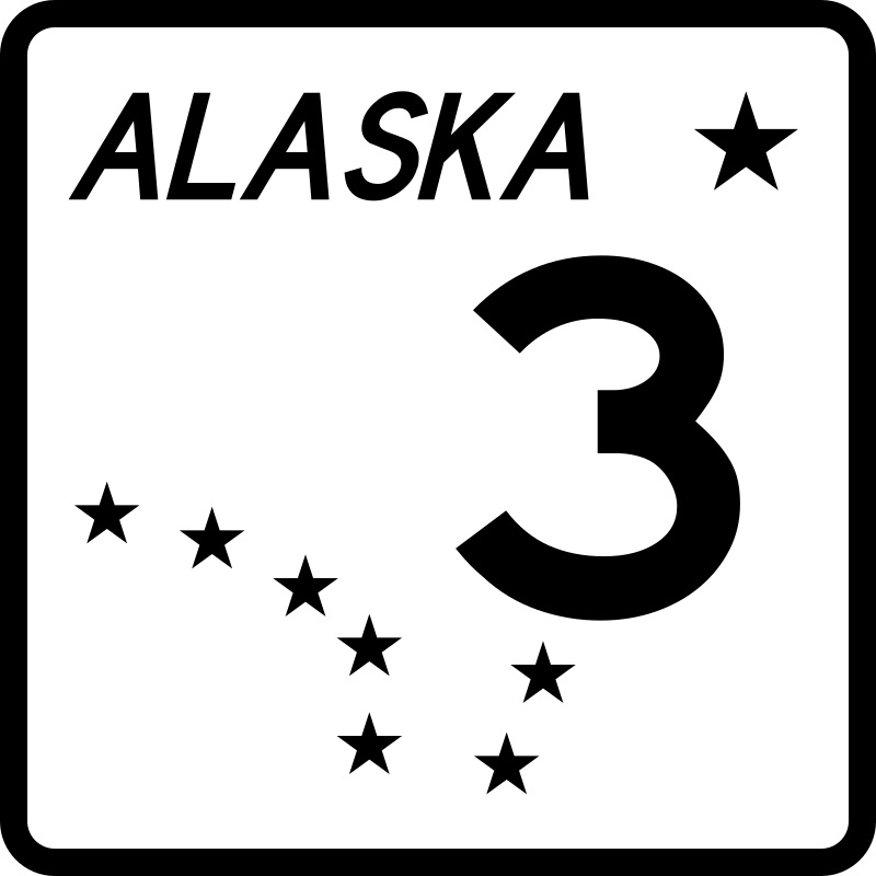
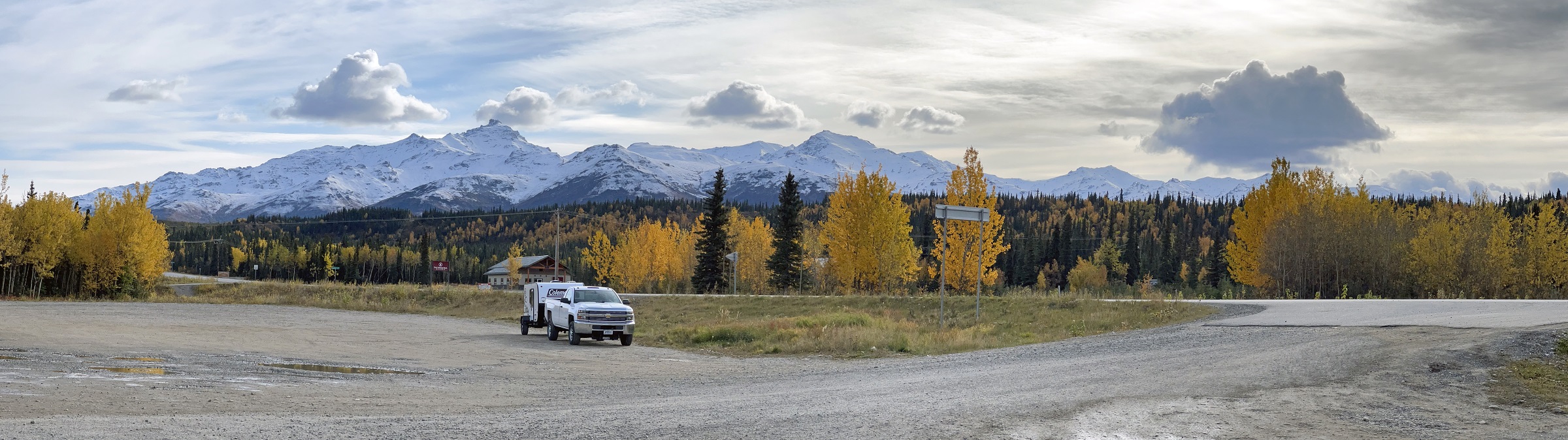
These pictures are from a four-hour roundtrip drive on Alaska Route 3 South— from Fairbanks to the Denali National Park Visitor Center.
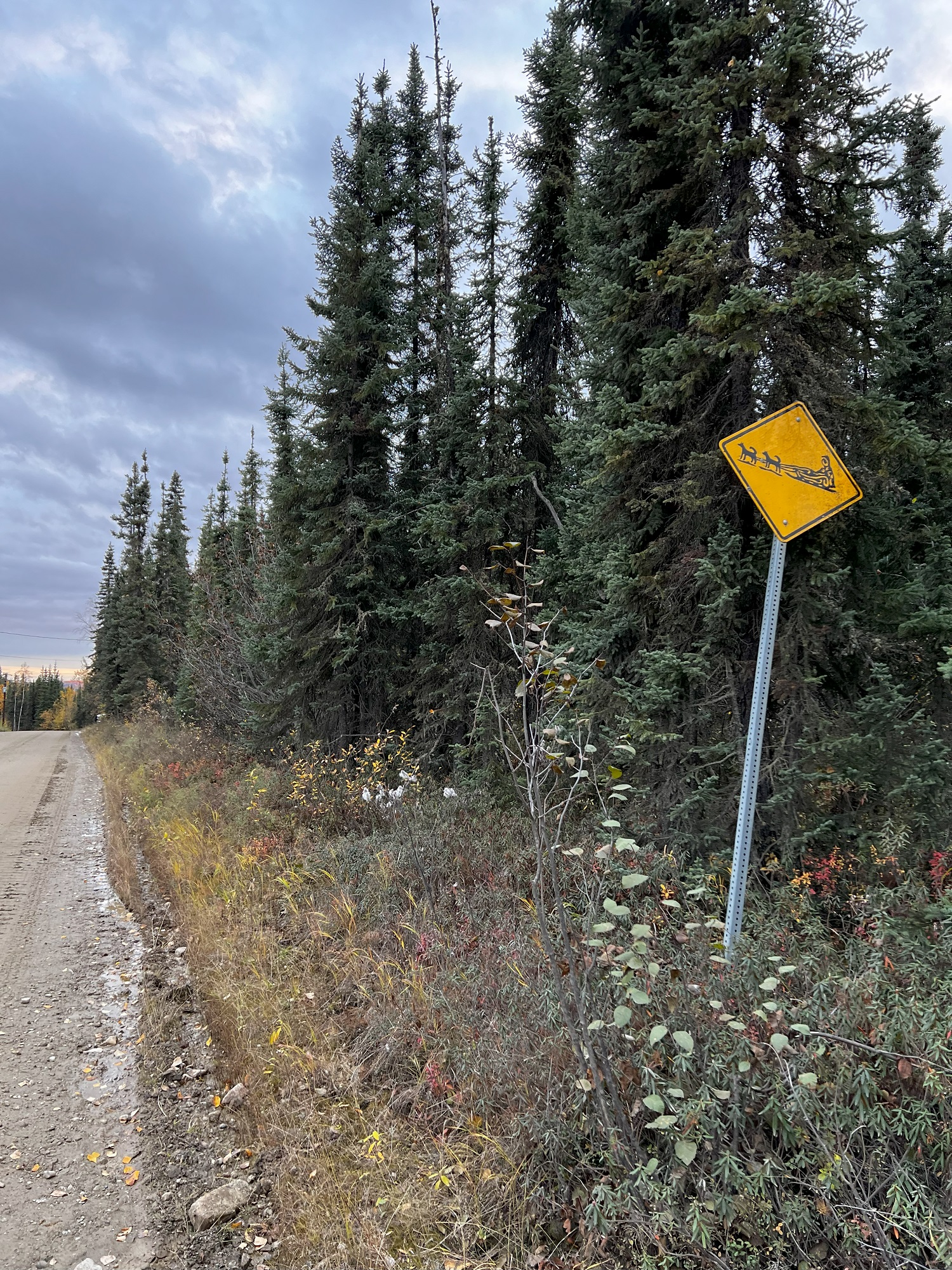
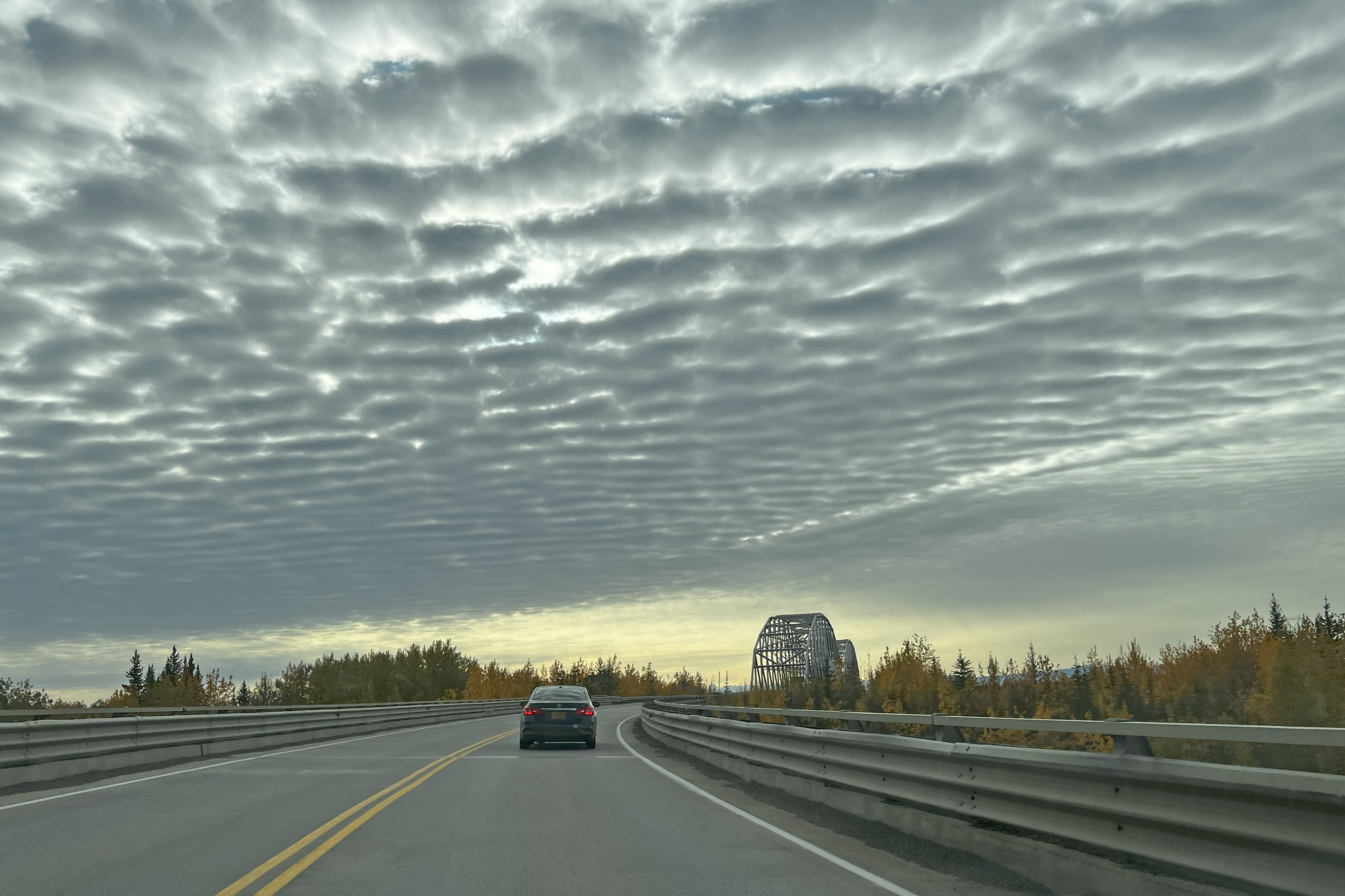
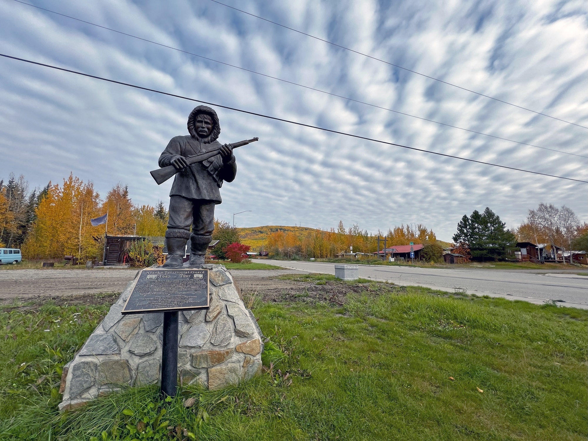
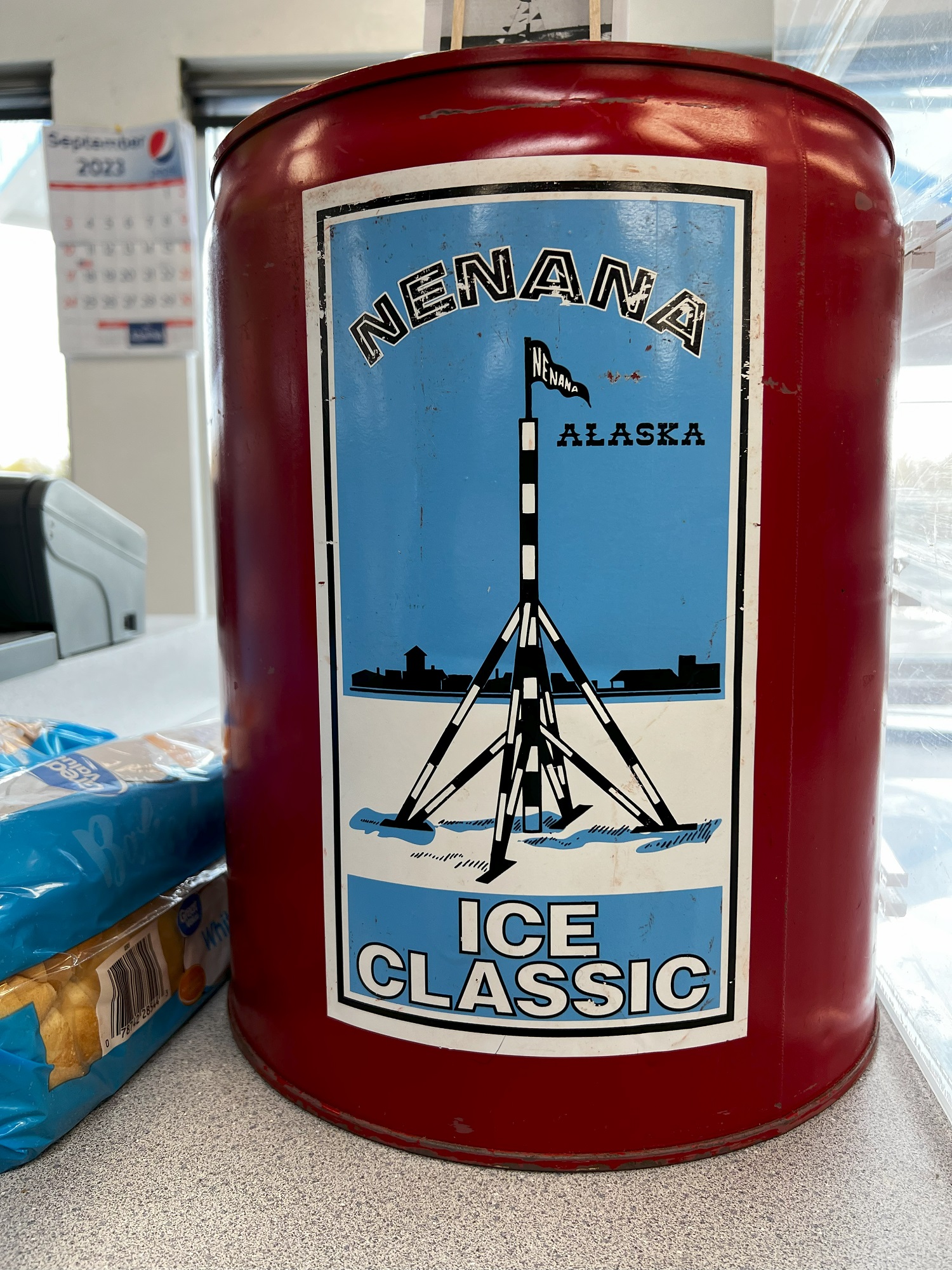
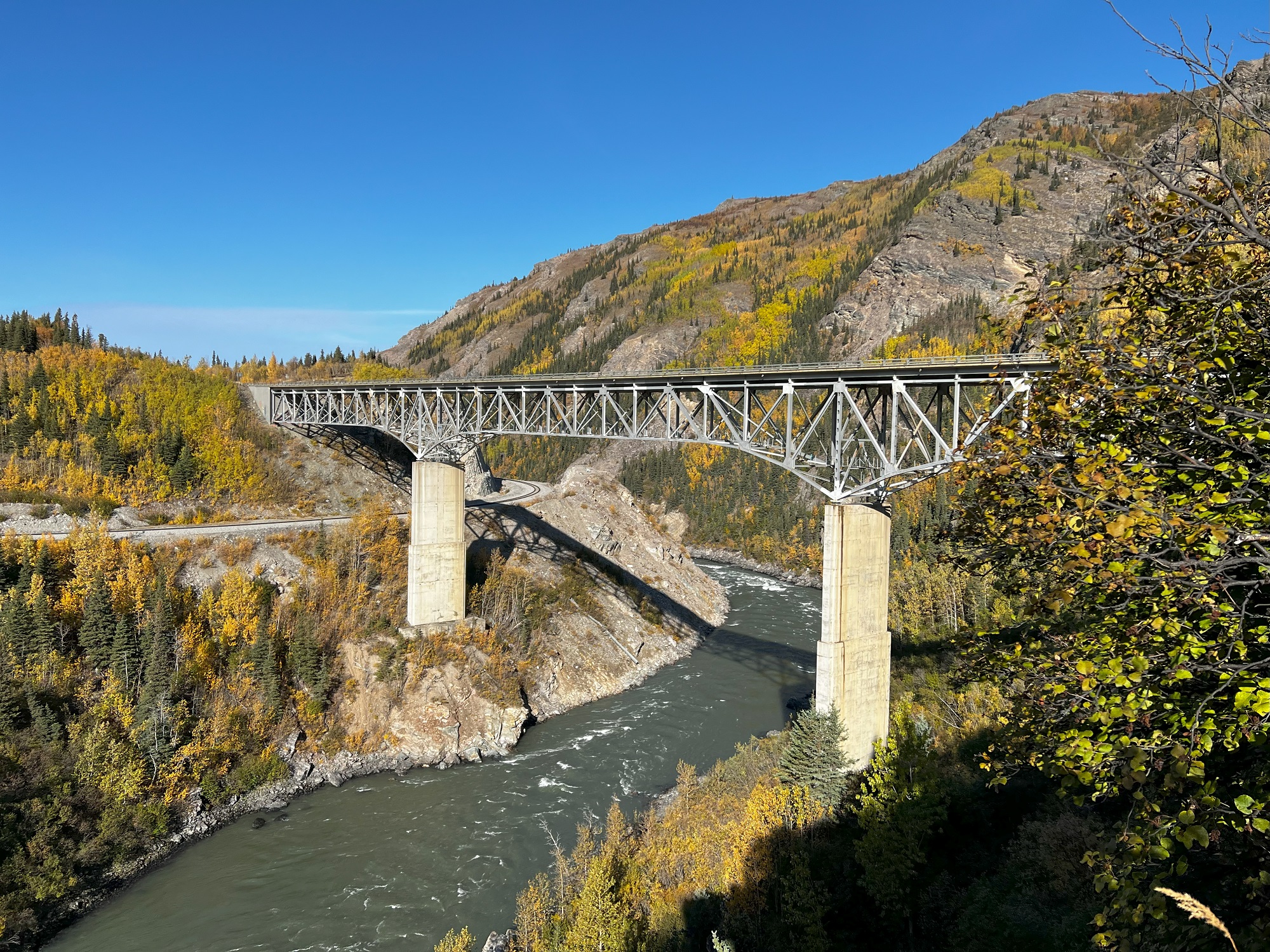
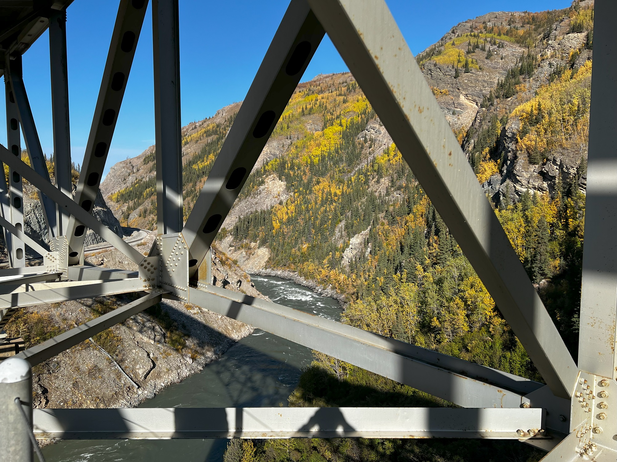
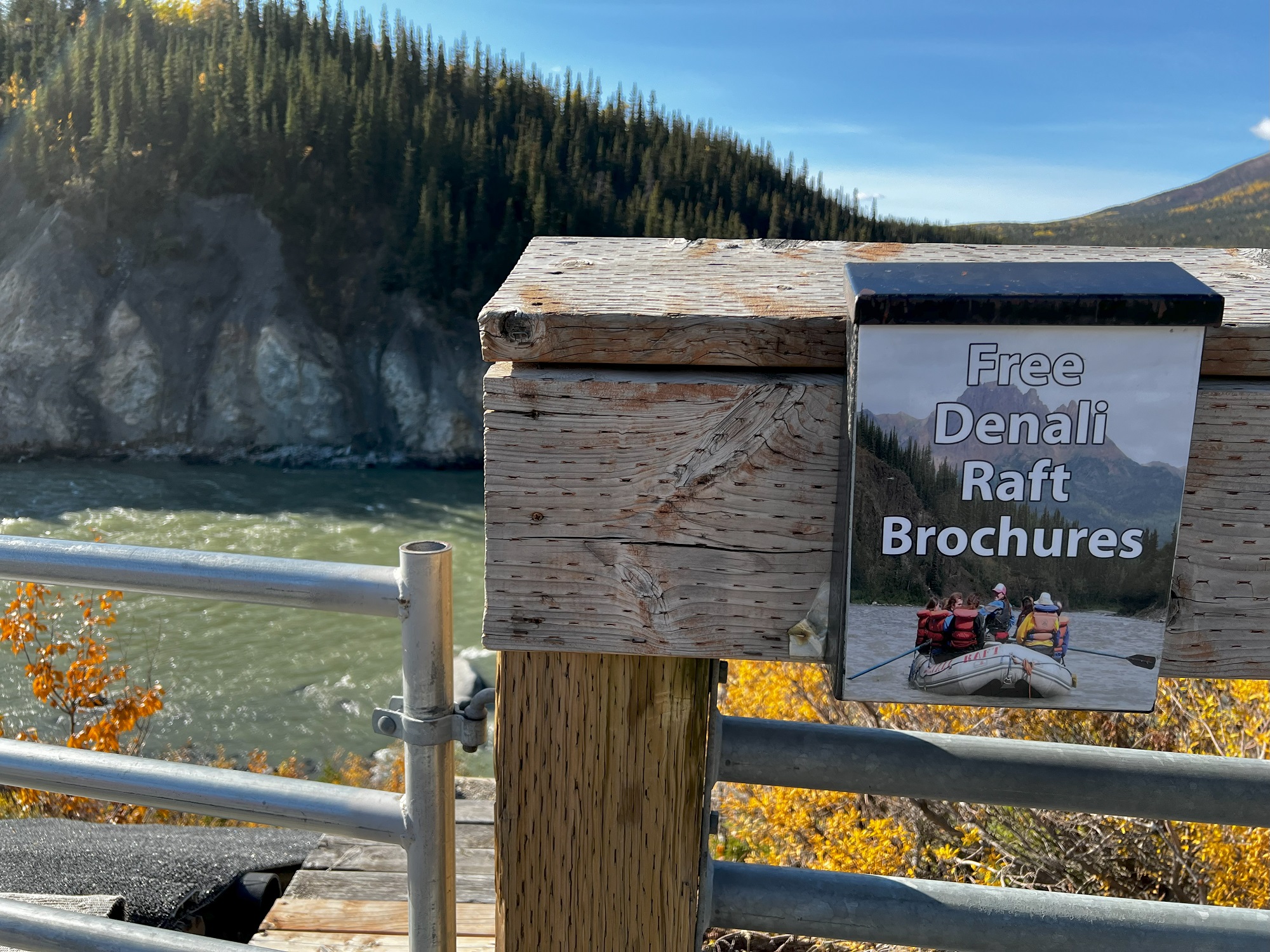
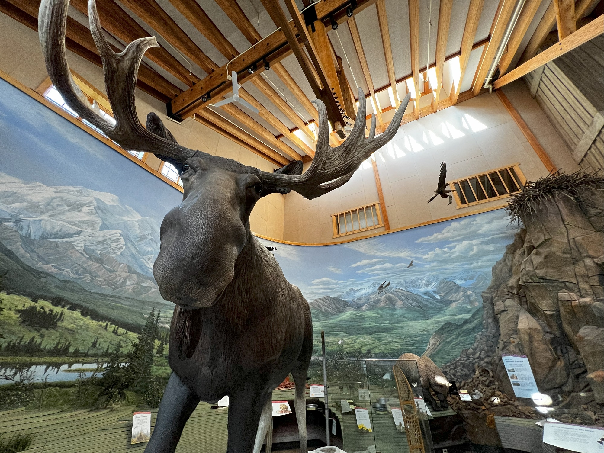
There is a dog sled sign on the dirt road from our cottage to Fairbanks. It’s not that the dogs and sled will cross the road— they will sharethe road with traffic (in wintertime, when there is several inches of snow on the ground).That’s the Alaska Native Veterans’ Honor Bridge over the Tanana River in the distance, constructed in 1967.This monument is at the entrance of the town of Nenana. The plaque on the monument reads as follows: During World War II under the leadership of Major “Muktuk” Marston and 21 paid staff, 6,368 volunteers from 7 native ethnic groups and European Americans, whose ages ranged from 12 to 80 years old, and including some 30 women, watched the northern shores of Alaska for enemy movements and were instrumental in the Battle for Attu, a foreign war battle fought on domestic soil. In commemoration of their personal sacrifices for our Freedom.This canister accepts entries for a ‘lottery’ for which entrants need to predict the exact minute in May of 2024 when this beacon on the ice of the Nenana River will fall over, due to the melting of the ice in spring. (Winner gets several thousand dollars, depending on the number of entries).The Nenana River Bridge near Healy, not far from Denali National Park, was constructed in 1970.A view from under the Nenana River Bridge.The tourist season is over and the rafts are gone, but here is a picture of what the rafts looks like. There is a steep embankment and a launch ramp (without people in, I presume!) for the rafts to the waterside on the left of the picture.Hellooo Mr Moose. Inside the Denali Visitor Center.Looking back at Denali mountain, from Healy on Alaska Route 3. The summit of Denali is the highest mountain peak in North America, elevation 20,310 ft (6,190 m).
It’s fall here in the Northern Hemisphere, and the three friends from Seattle made it out to Fairbanks, Alaska, for a long weekend.
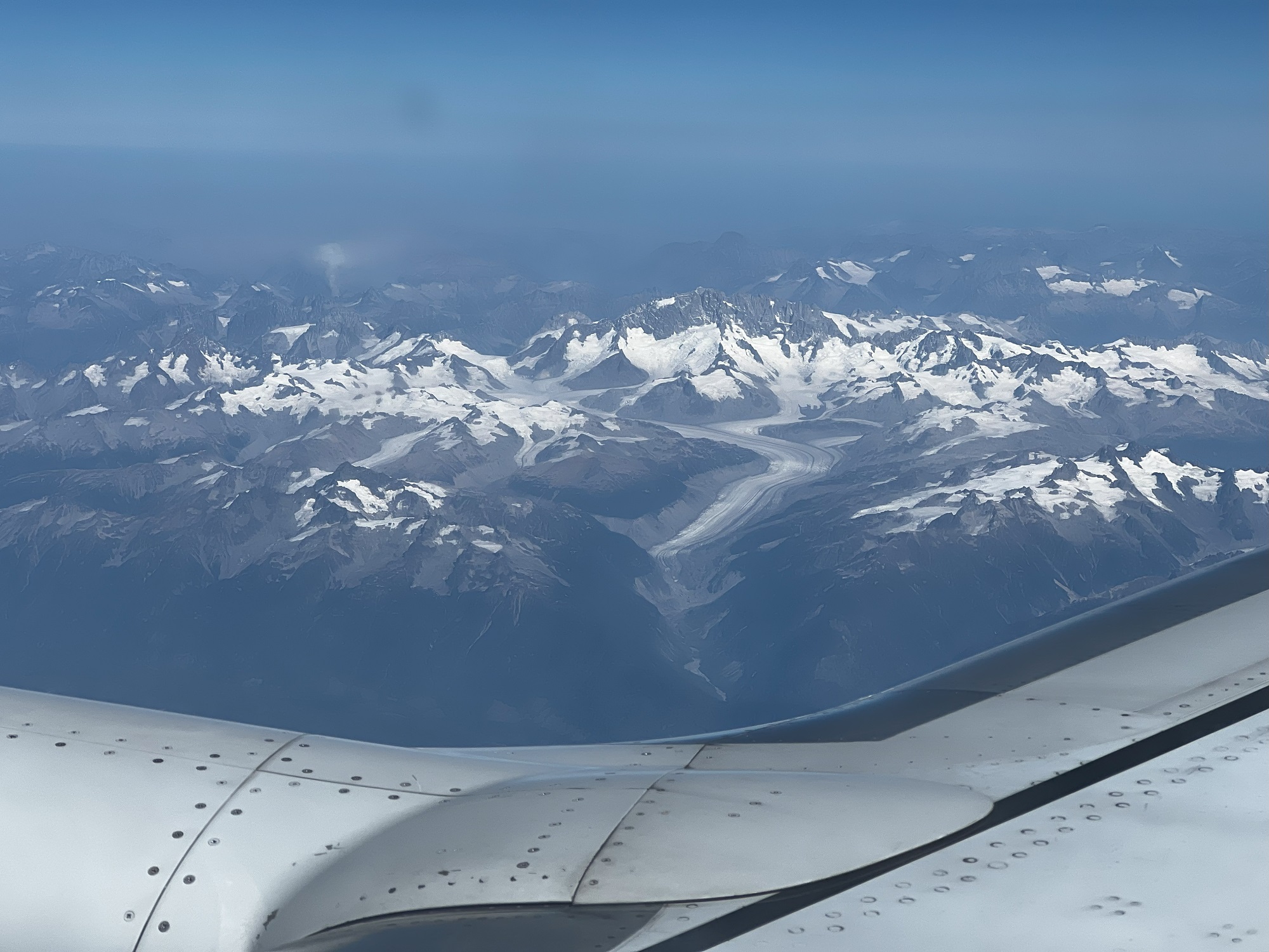
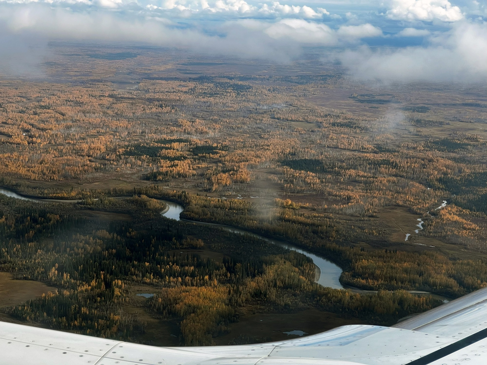
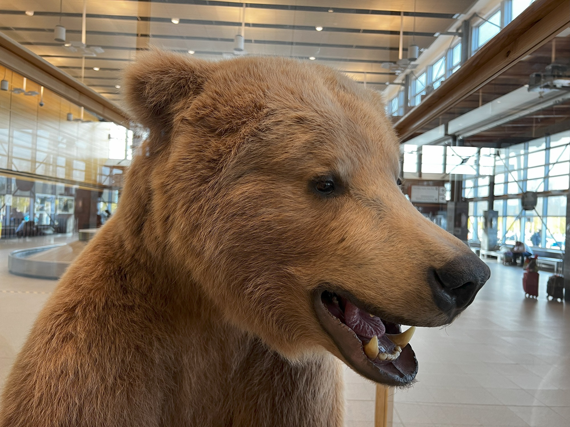
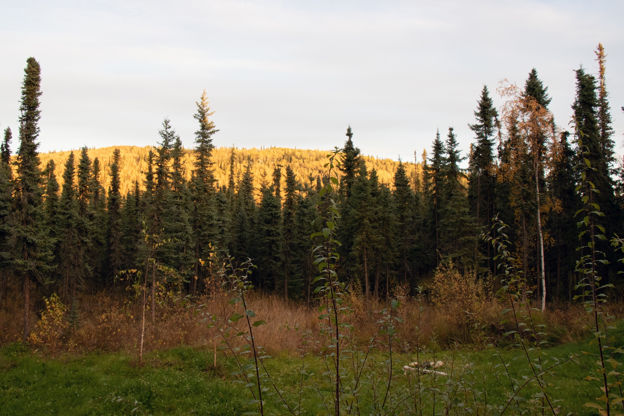
Top to bottom: Stepping on board in Seattle; a glacier somewhere over Canada; approaching Fairbanks— and noticing fall’s colors in the woods; a bear at Fairbanks airport; the view from our rented cottage, some 15 miles outside Fairbanks.
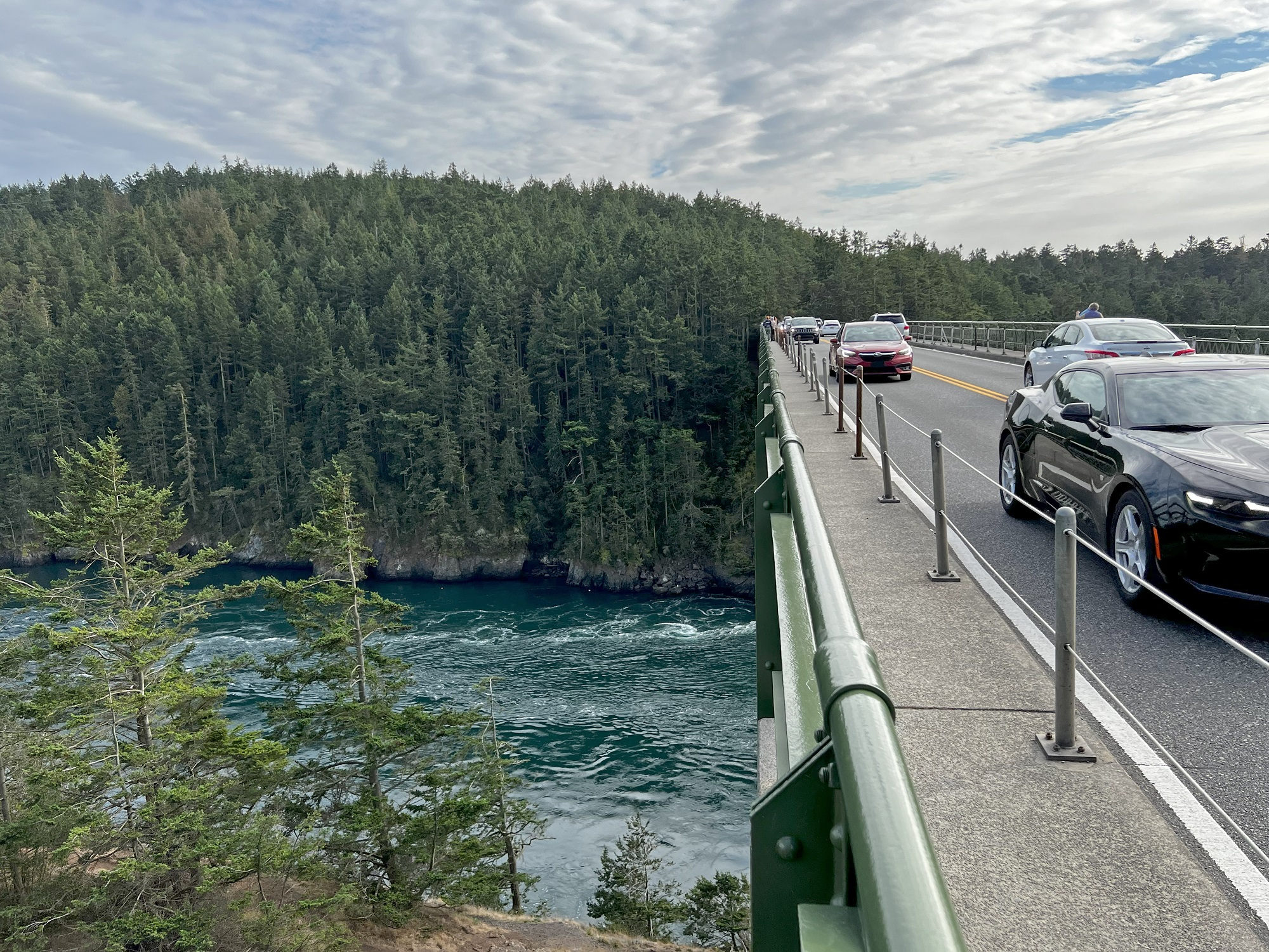
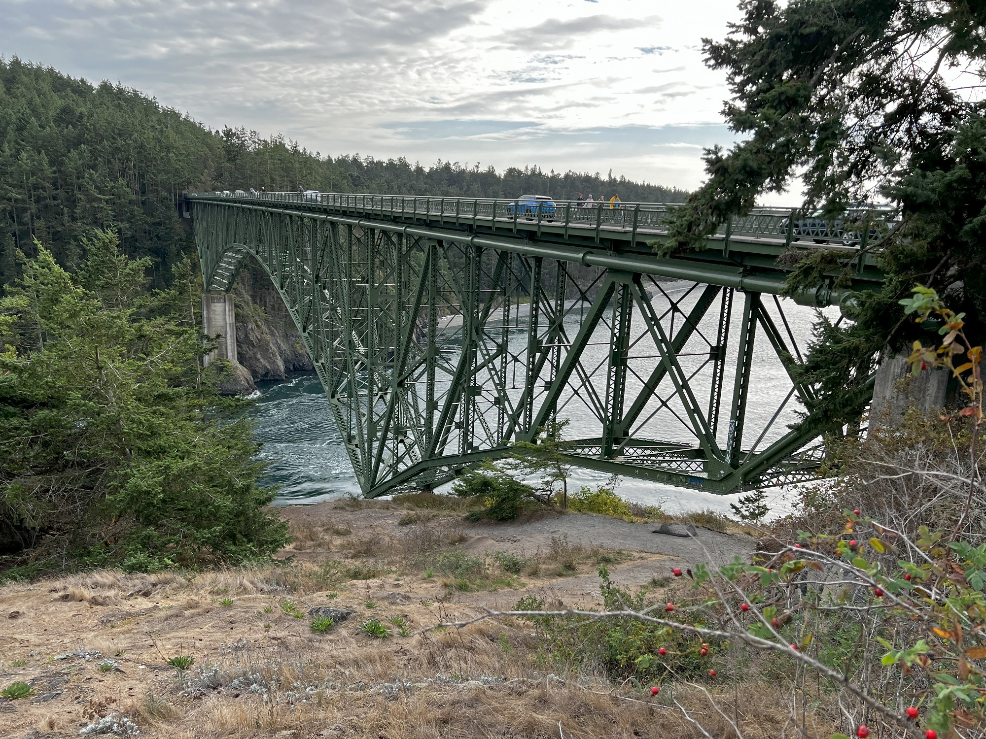
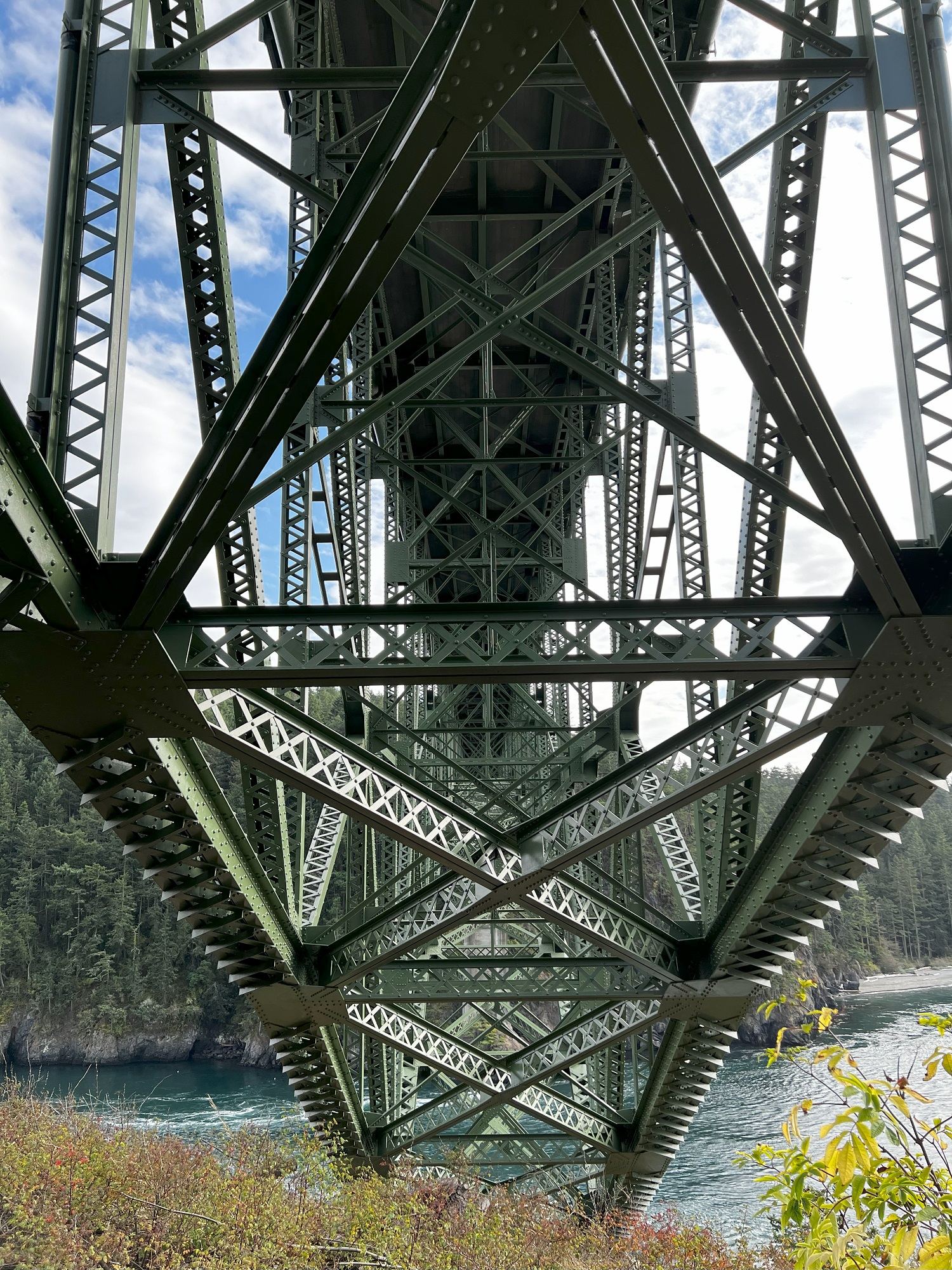
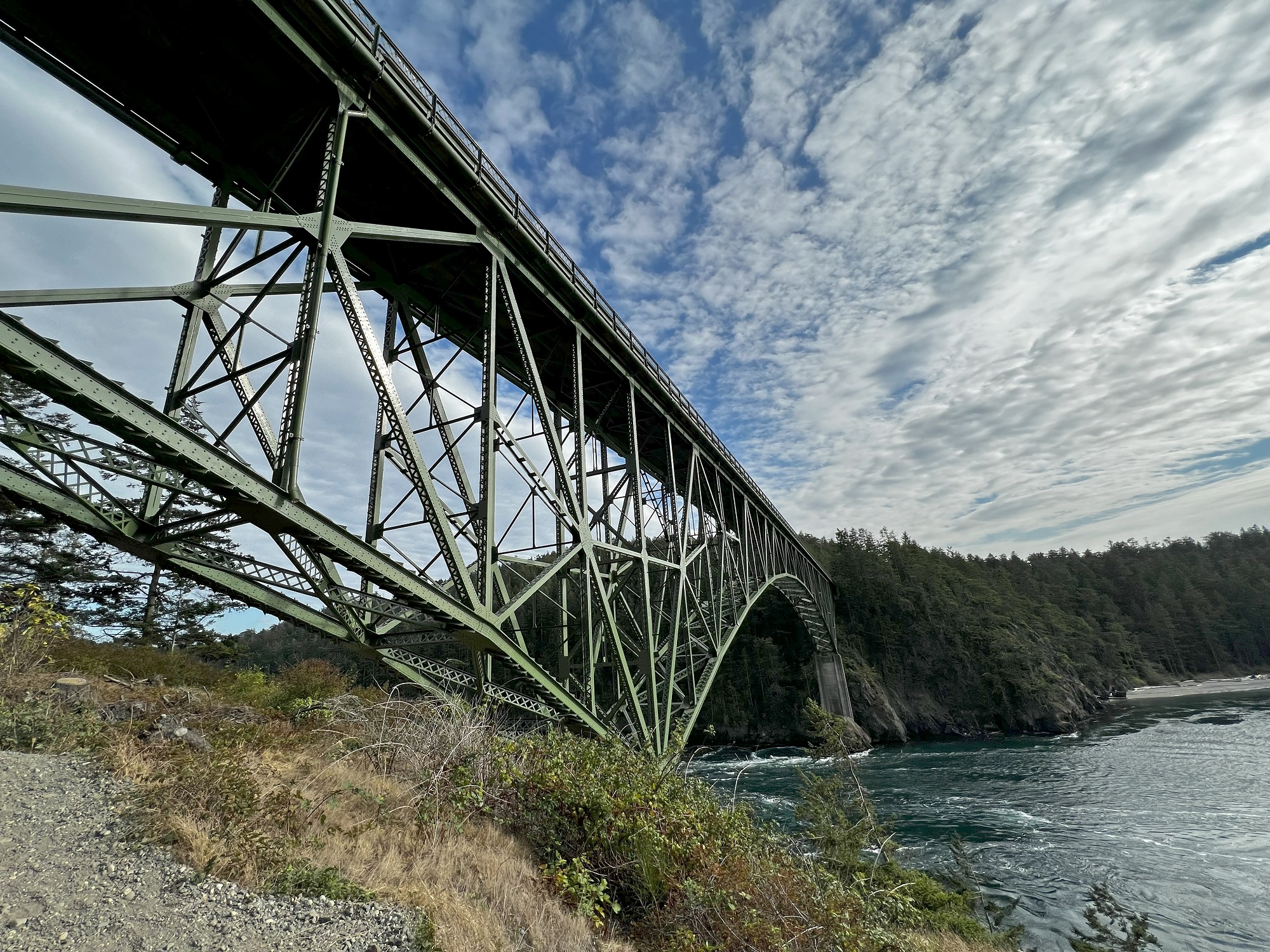
Two two-lane bridges (Canoe Pass Bridge and Deception Pass Bridge) on Washington State Route 20, connect Whidbey Island in Island County, to Fidalgo Island in Skagit County in Washington State.
The bridges opened on July 31, 1935.
[Source: Wikipedia]
These pictures of the Canoe Pass Bridge were all taken from Pass Island, looking south. The pictures were taken around 4.15 pm. The Salish Sea is to the west, and with high tide at about 6.48 pm today, the tide from the Pacific Ocean was still coming in.
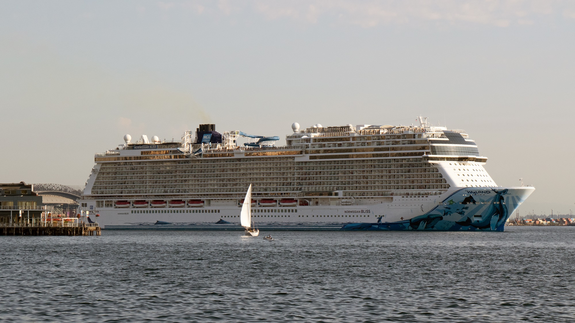
Here’s the Norwegian Bliss just leaving the pier in Seattle and setting sail for Sitka, Alaska, shortly after 5 pm this afternoon.
She will go as far as Juneau and then to Icy Straight Point 30 miles across the Alaskan Inside Passage, before turning back to Seattle.
The Norwegian Bliss was built in 2018 and can accommodate 4,900 passengers.
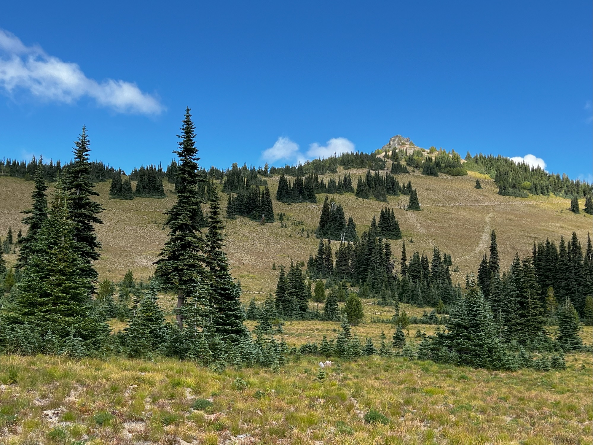
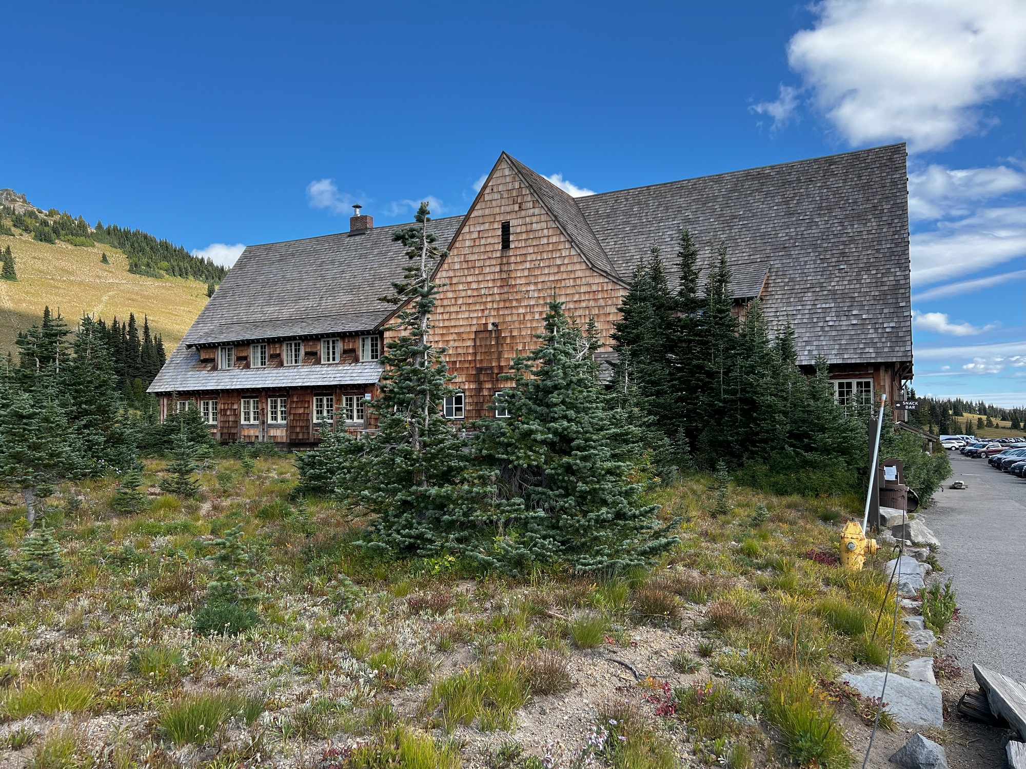
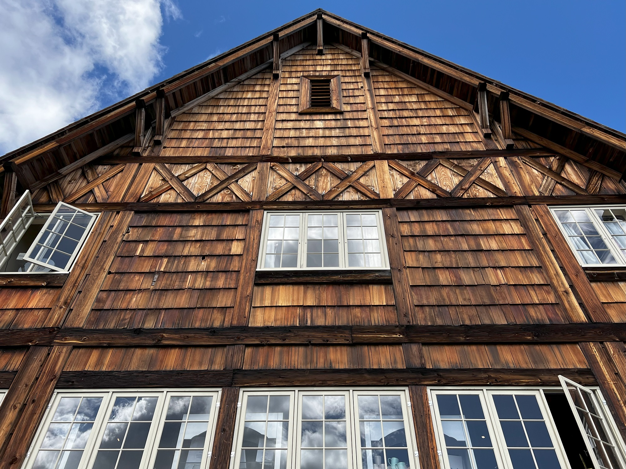
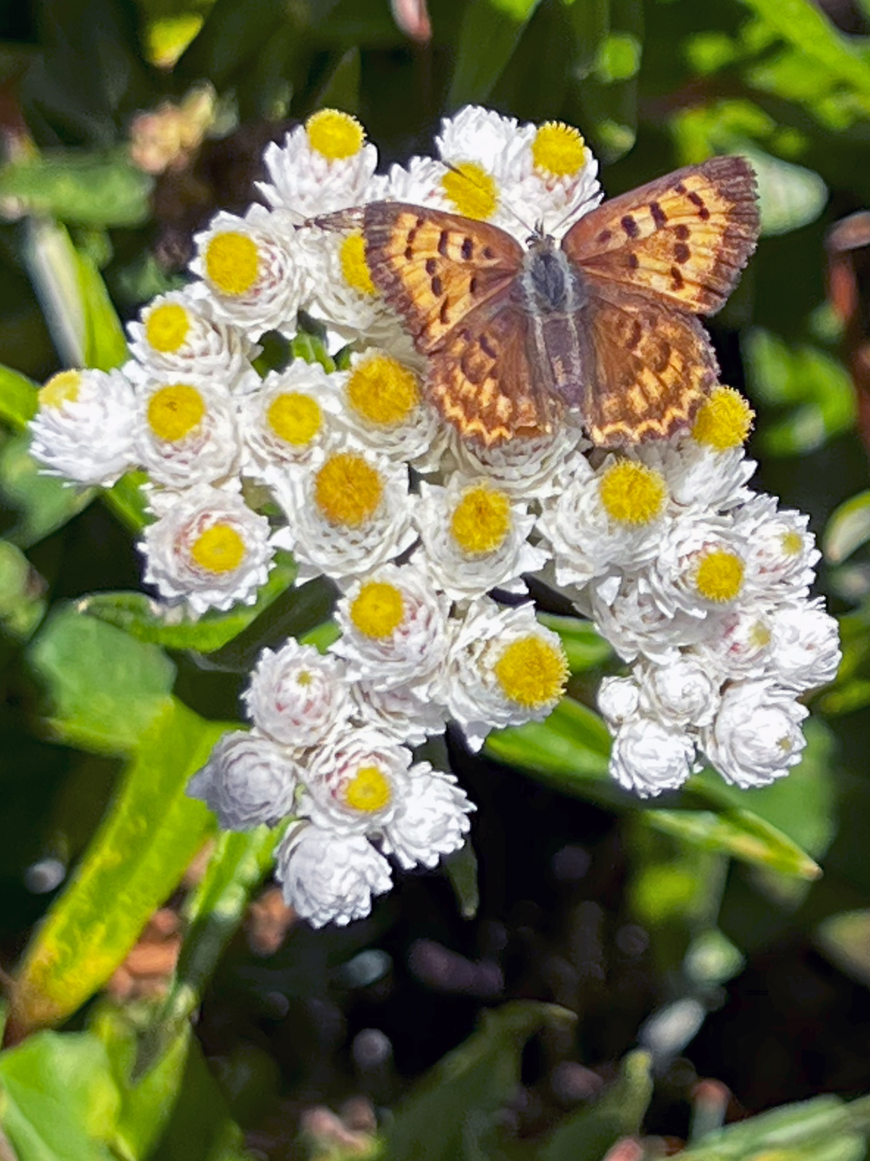
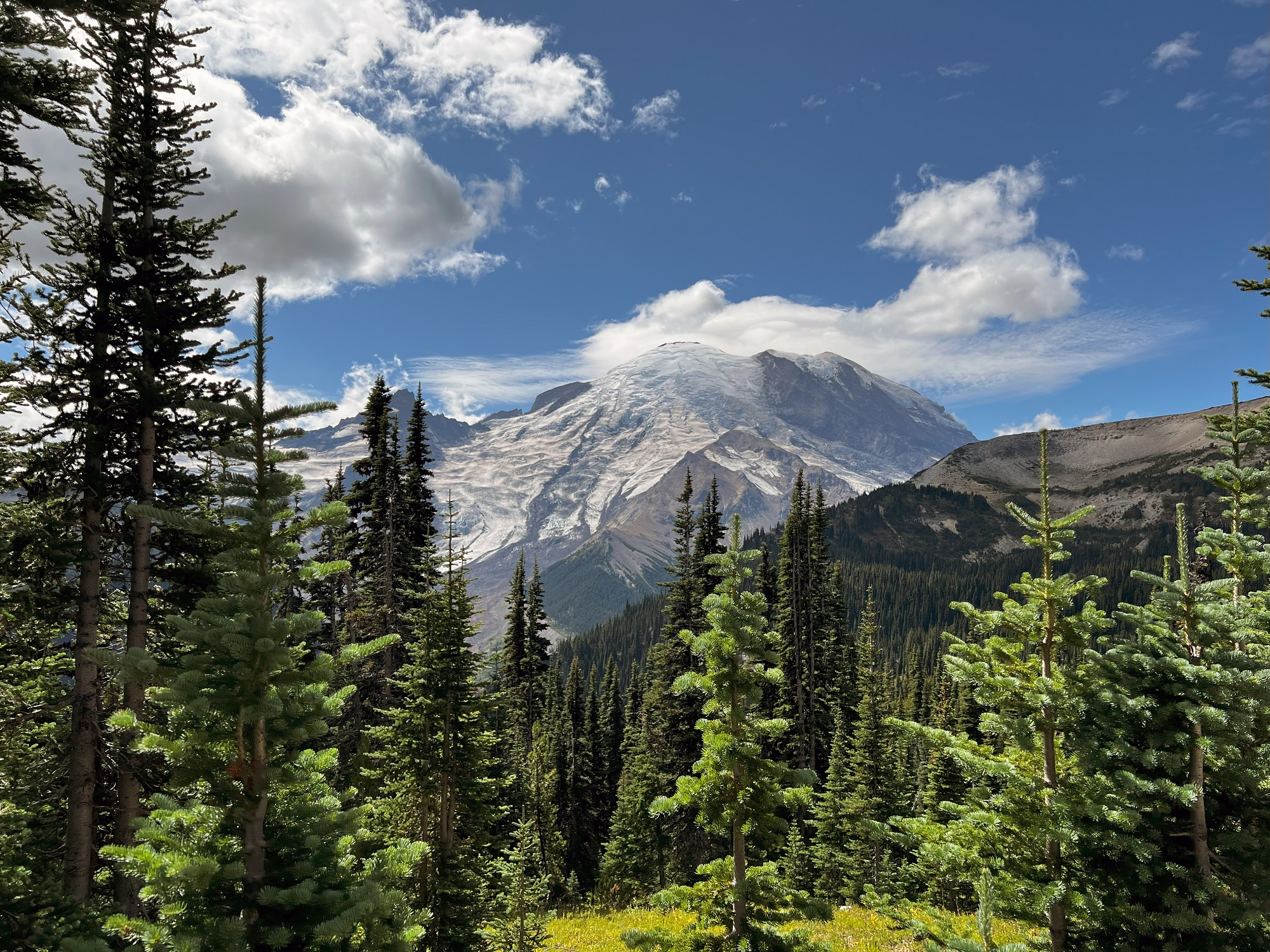
Located in the northeast corner of the park at an elevation of 6,400 ft (1 950 m), Sunrise is Mount Rainier National Park’s highest visitor center.
It is only open from early July to early September.
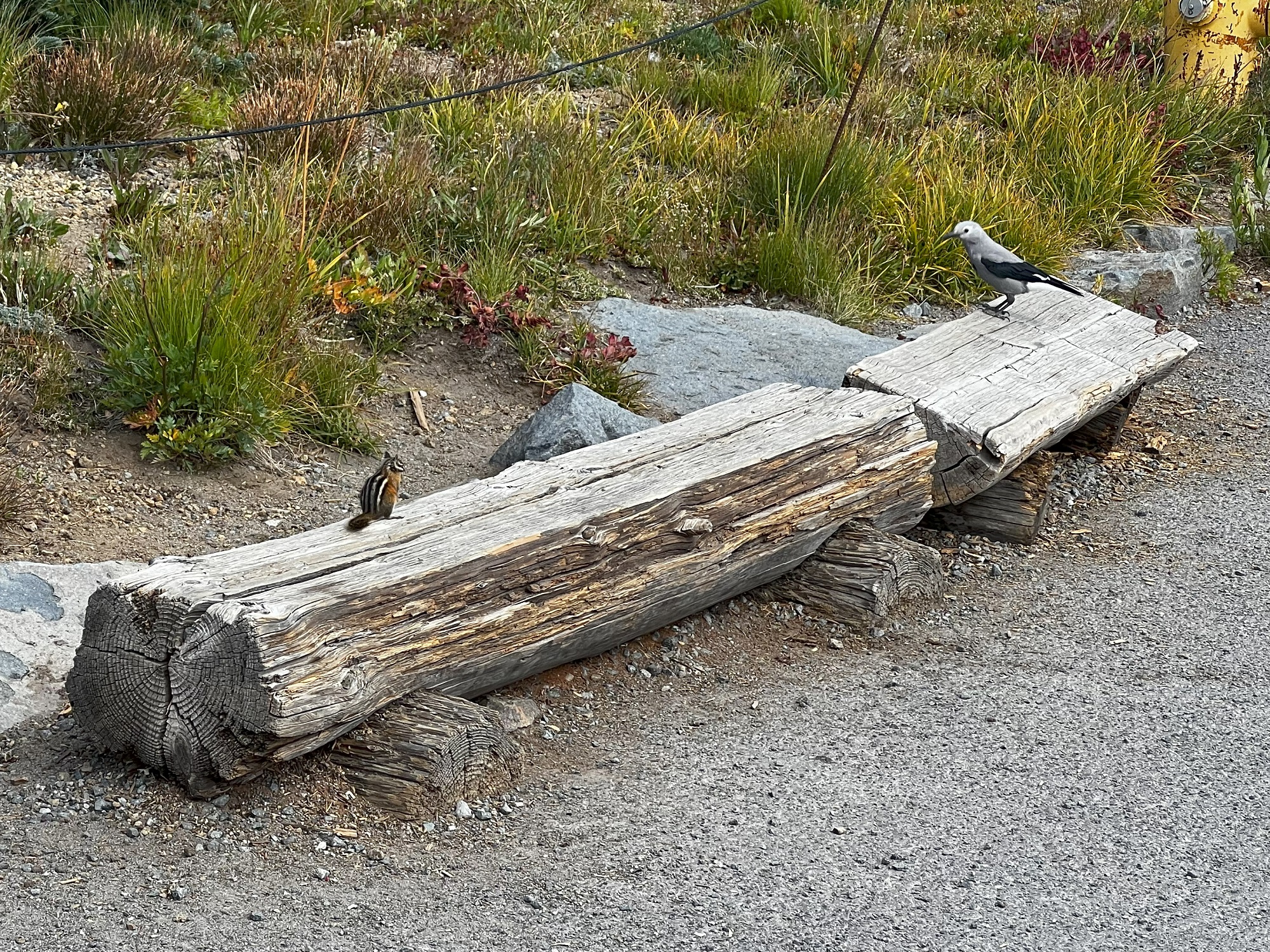
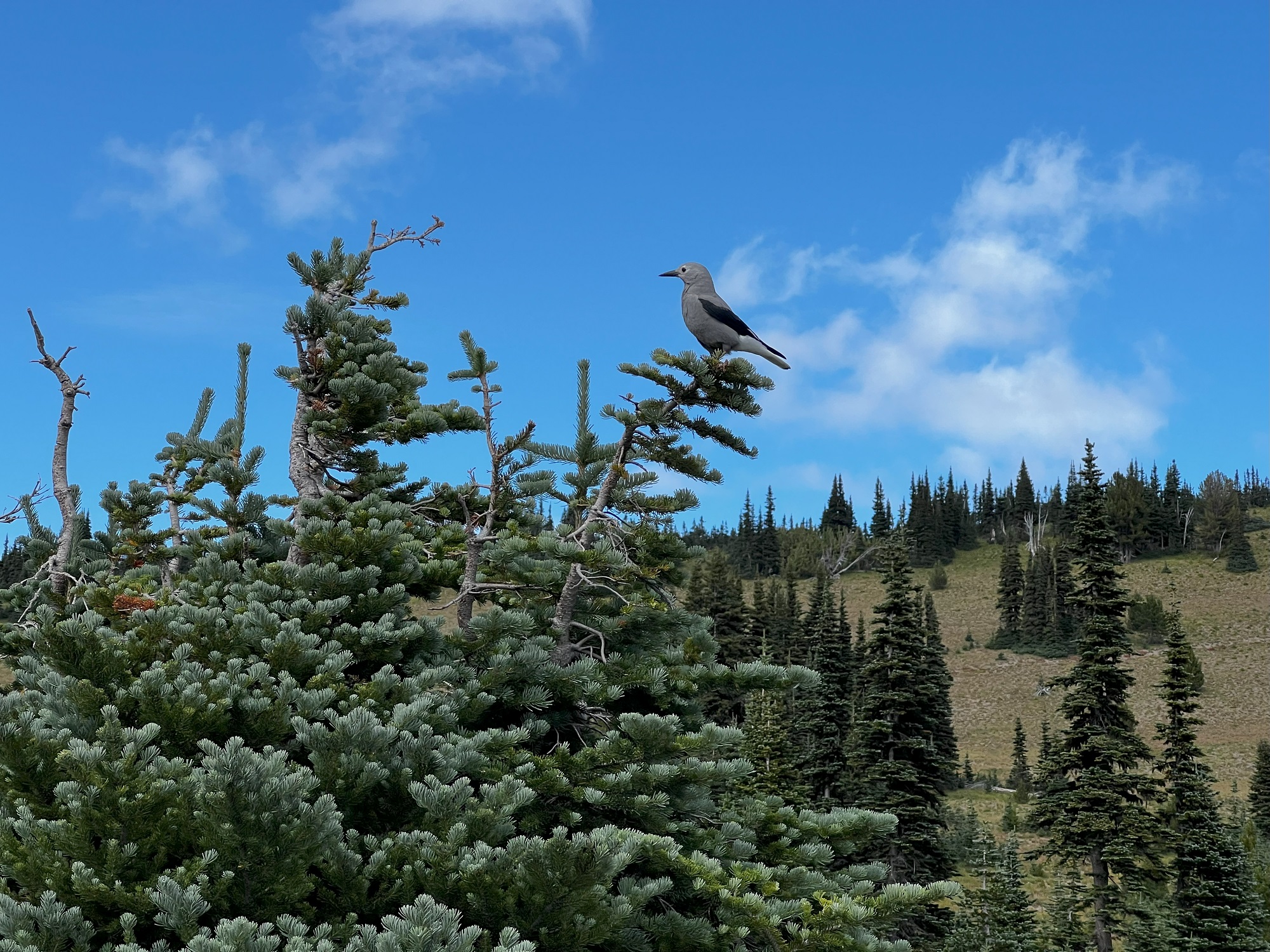
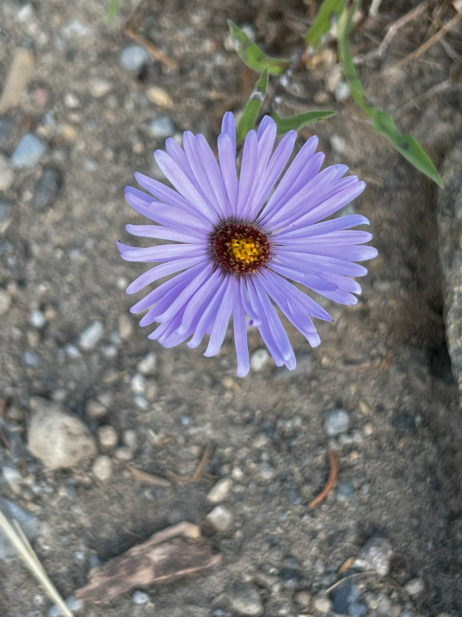
The butterfly is a mariposa copper (Lycaena mariposa), and on the log is a Clark’s nutcracker (Nucifraga columbiana) and a Townsend’s chipmunk (Tamias townsendii).
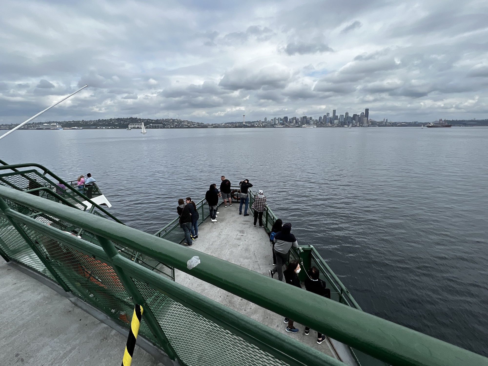
My friends and I made a round trip across Puget Sound today:
crossing with the Seattle-Bainbridge Island ferry, driving to Silverdale REI* to pick up a tent, and returning on the Bremerton-Seattle ferry.
*Outdoor recreation gear and equipment store
There’s the Space Needle and the Seattle skyline in the distance, seen from MV Walla Walla ferry that departed out of Bremerton. We made the 1.30 pm ferry— early enough and not too crowded with holiday weekend traffic returning to Seattle.
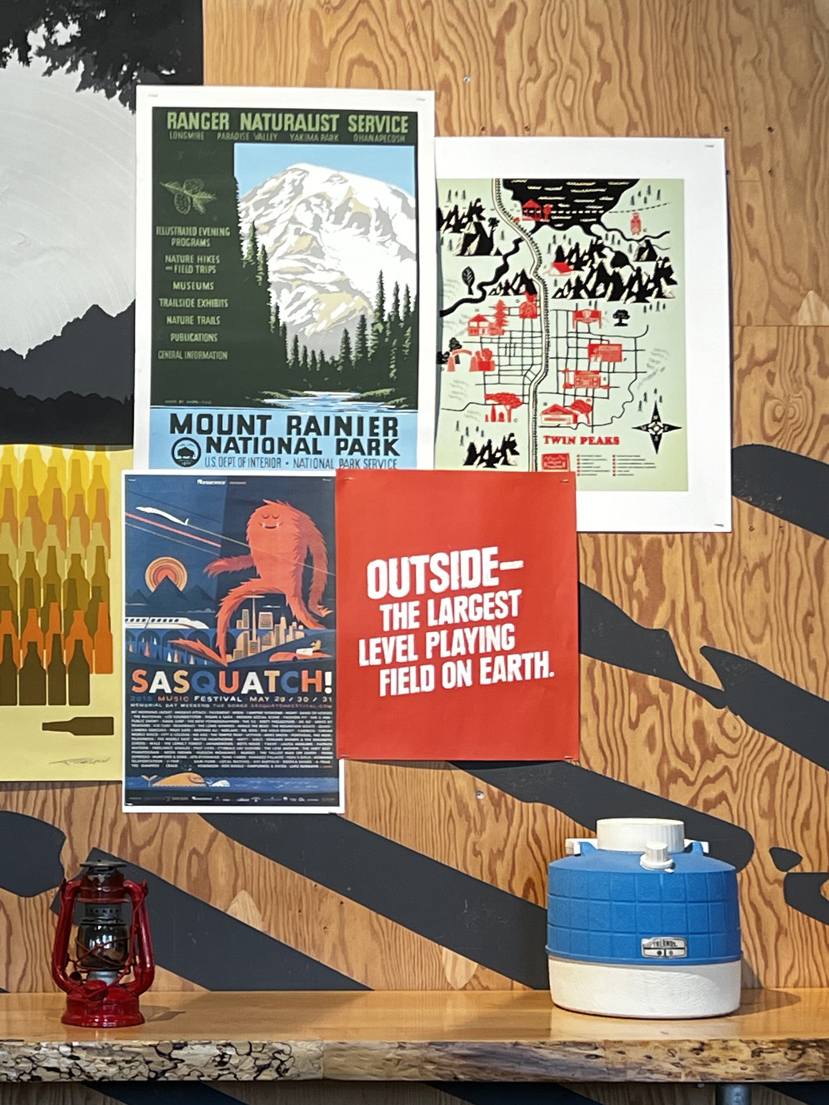
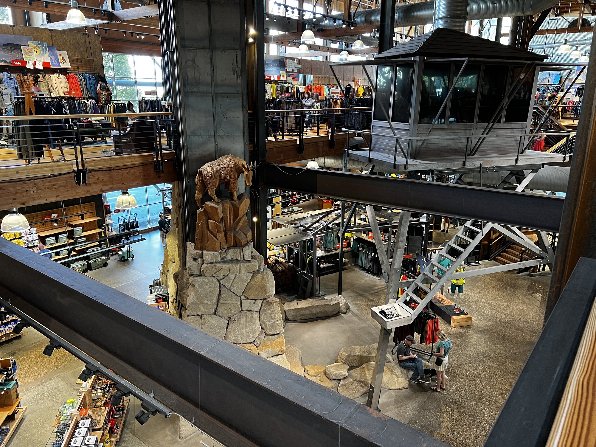
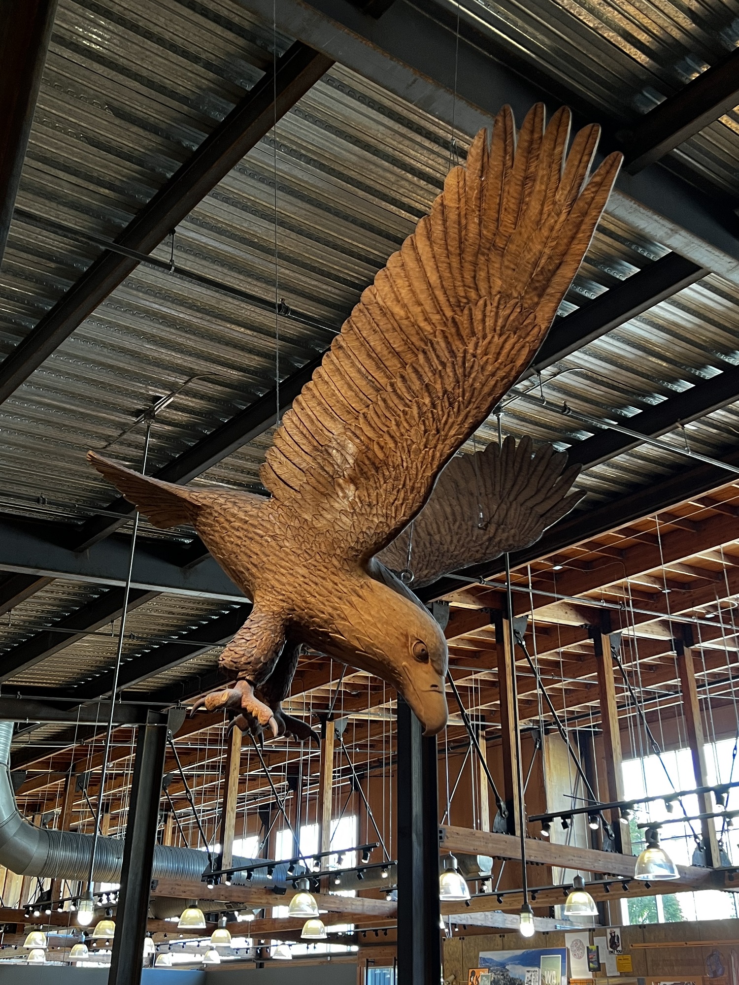
My friends are gearing up for hiking on Mount Rainier’s Wonderland Trail— and so a visit the the flagship REI store in Seattle’s South Lake Union was in order for today.
Some of the purchases: water bag and microfilter system, powdered eggs, shredded beef with beef broth in a pouch, energy bars, Mount Rainier Wonderland Trail map, waterproof compression bag (keeps clothes dry), pressure-regulated pocket-sized gas stove, isobutane fuel cartridges.