
From the New York Times:
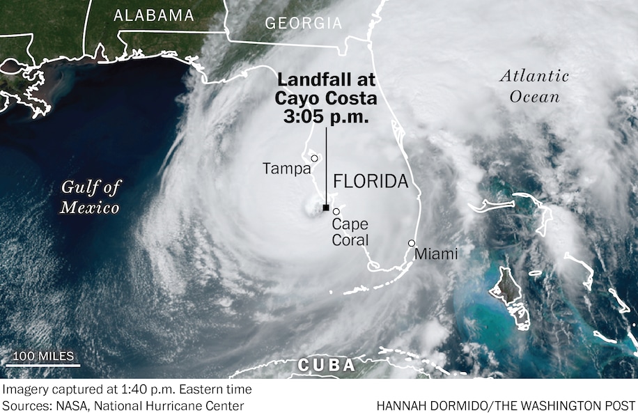
Millions of Florida residents faced a harrowing night as wind, rain and storm surge from Hurricane Ian pounded the southwestern coast and moved inland late Wednesday on a path toward Orlando, knocking out power to more than two million customers statewide.
The latest:
A storm surge of up to 12 feet submerged cars, knocked over houses and trapped residents near where the hurricane came ashore west of Fort Myers. Some places remained too dangerous for water rescues, officials said, adding that they were taking down addresses to deploy resources once it was safe.
Ian is among the most powerful storms to strike the United States in decades, and Gov. Ron DeSantis said it would go down as one of the strongest in Florida history. It was just shy of Category 5 status as it made landfall about 3 p.m., but had been downgraded to a Category 1 by Wednesday night.
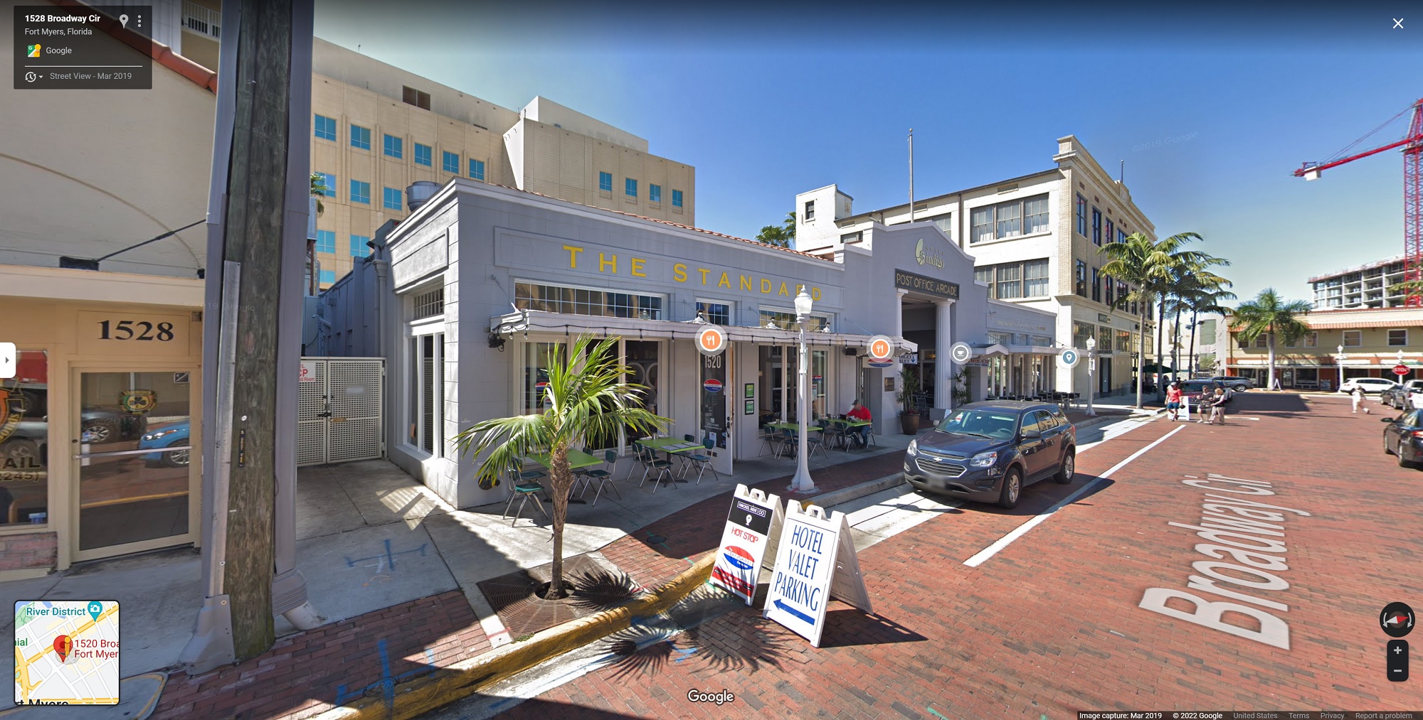
[Google Streetview, 2019]
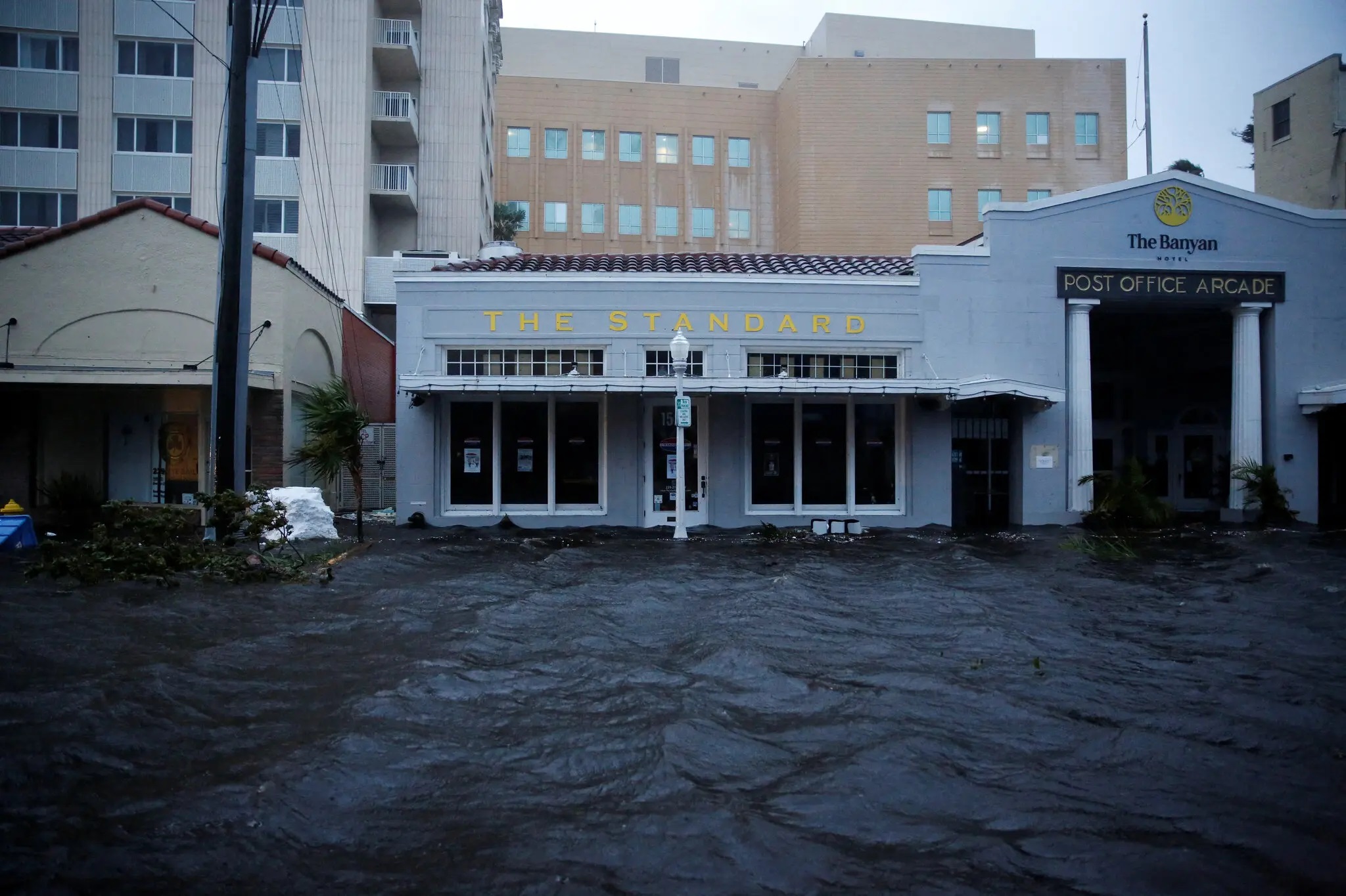
[Photo: Marco Bello/ Reuters]