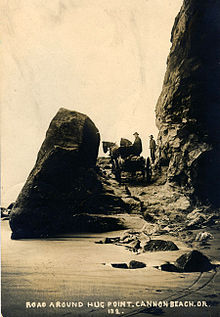
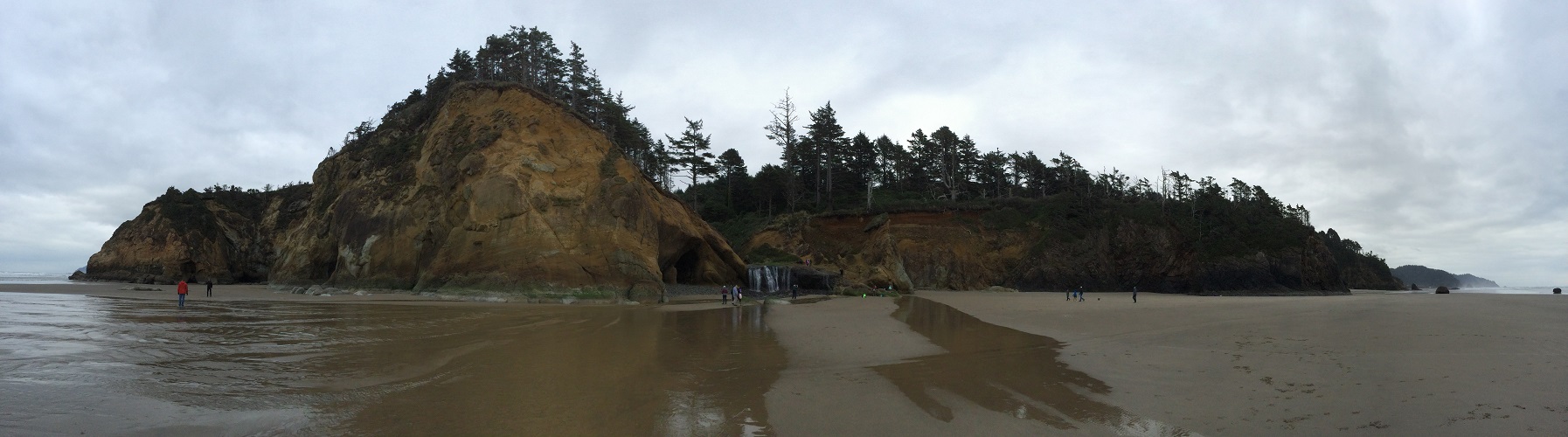
[From Wikipedia] A stagecoach low on a carved-out road at the Hug Point. The rocks and the road surface are still there today.In this panorama, Hug Point is on the far left. There are caves in the cliff sides, and a little seasonal stream and waterfall as well (in the middle).
We drove a little up and down the northern Oregon coast on Friday. When I saw the signs for a turn-out to ‘Hug Point State Recreation Area’, I suggested we stop and go check it out.
I later learned that the name comes from 19th century stagecoach drivers that used the beach as a highway, and they had to ‘hug’ this particular point even at low tide to get around it.
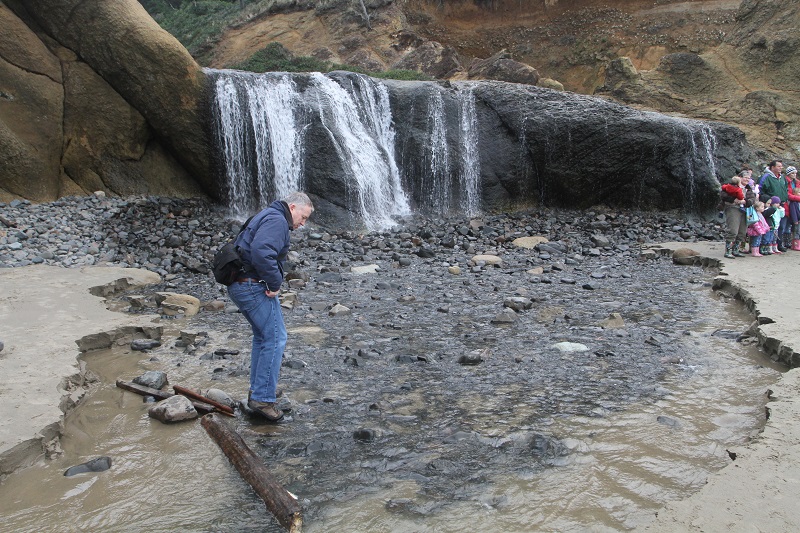
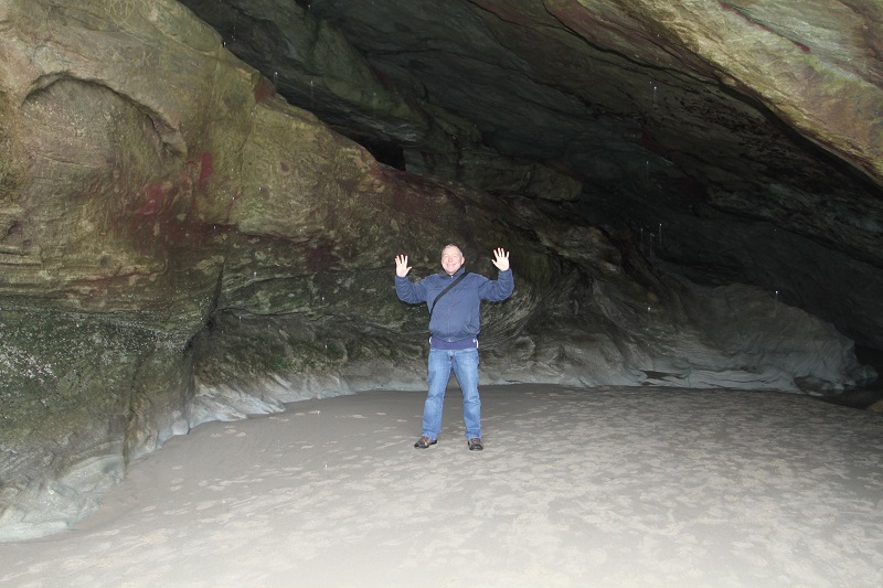
I’m trying not to get my shoes and socks wet! (Yes – I should have just taken them off and walked through, but the water is icily cold).One of the cavernous spaces in the cliff-side. My friend Tony had to use the flash on my camera to light me up. At high tide the cave fills half-way up with water.