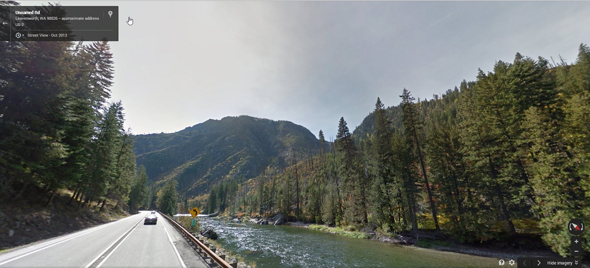
I picked up this awe-inspiring picture below (awe at the destructive force of fire) from King5 News .. and I had to find out exactly where it was. The picture’s description only noted it to be in Tumwater canyon, but that was good enough. There is a tell-tale mile marker and ‘left turn ahead’ road sign in the picture. By zooming all the way in, I could just barely make out that the first digit on the mile marker might be a 9. Then I did a virtual mouse click ‘drive’ all along Highway 2 with Google Streetview and voila! there was the combination of mile marker 92 and the left turn sign, shown in broad daylight. The three tall pine trees on the right was a match as well. Will those tall trees survive the fire? Probably NOT. More than a 100 homes have been lost already in other fires nearby.